West Guelt Plantation

Wood, Forest in Ayrshire

Scotland

West Guelt Plantation

Track down to Dalblair The track leading down to Dalblair.
This photo was taken on the 29th April 2022.
Track down to Dalblair Credit: Rab McMurdo

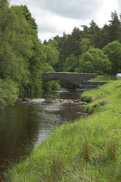
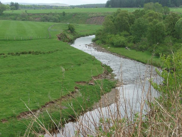
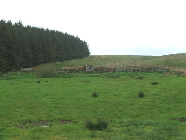
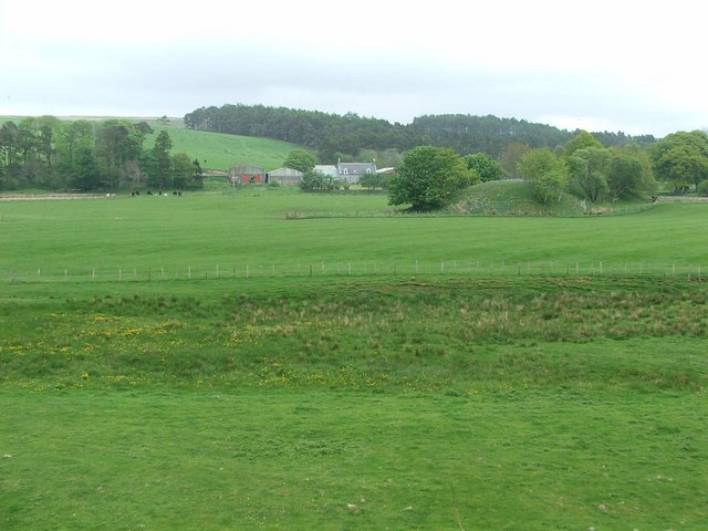
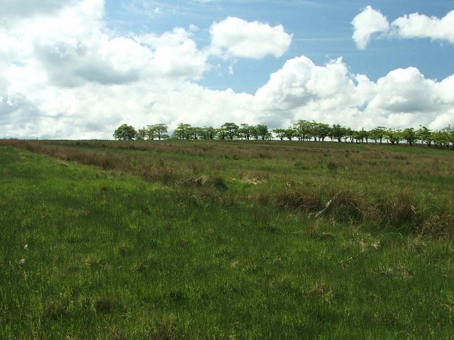
West Guelt Plantation, located in Ayrshire, Scotland, is a picturesque woodland area covering approximately 100 acres. The plantation is renowned for its rich diversity of trees and wildlife, making it an important ecological and recreational site in the region.

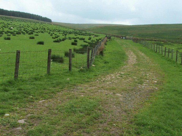
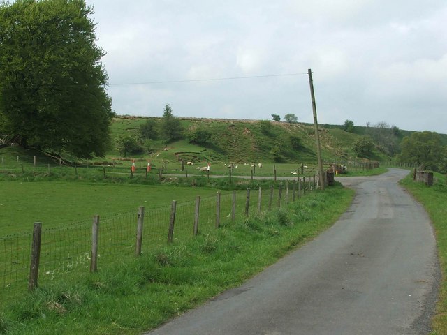
The woodland primarily consists of native tree species such as oak, birch, and beech, which provide a dense and lush canopy cover. This creates a serene and tranquil atmosphere, attracting numerous visitors throughout the year. The plantation is well-maintained, with clearly marked trails and paths that allow visitors to explore the area easily.

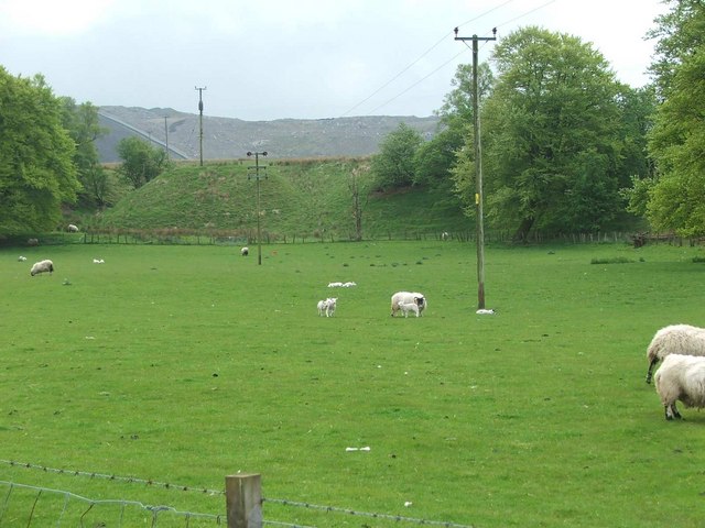
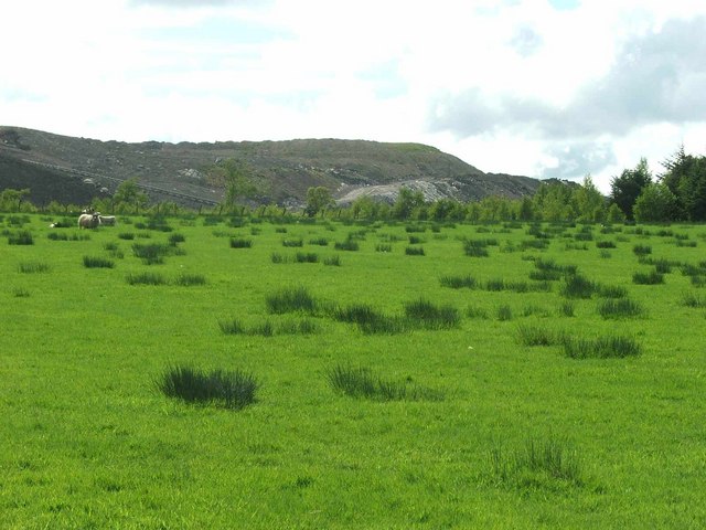
The woodland is home to a variety of wildlife, including red squirrels, badgers, and numerous bird species. It serves as a vital habitat for these creatures, providing food, shelter, and nesting sites. West Guelt Plantation is also a designated Site of Special Scientific Interest (SSSI), due to the presence of several rare and protected plant species.

In addition to its ecological significance, the plantation offers various recreational activities for visitors. Walking and hiking trails meander through the woodland, providing opportunities to enjoy the natural beauty and observe the wildlife. The plantation also has picnic areas and designated spots for birdwatching, making it an ideal destination for nature enthusiasts and families alike.

West Guelt Plantation, Ayrshire, is a cherished natural gem, offering both ecological value and recreational opportunities, making it a must-visit for those seeking to connect with nature in this beautiful region.

If you have any feedback on the listing, please let us know in the comments section below.

West Guelt Plantation Images

Images are sourced within 2km of 55.446891/-4.1704779 or Grid Reference NS6219. Thanks to Geograph Open Source API. All images are credited.

Track down to Dalblair The track leading down to Dalblair.
This photo was taken on the 29th April 2022.
Track down to Dalblair
The track leading down to Dalblair. This photo was taken on the 29th April 2022.
Dornal Burn Wee waterfalls on the Dornal Burn.
This photo was taken on the 8th May 2022.
Dornal Burn
Wee waterfalls on the Dornal Burn. This photo was taken on the 8th May 2022.
Kyle Castle The remains of Kyle Castle.
Kyle Castle
The remains of Kyle Castle.
Dalblair Bridge Over the Glenmuir Water
Dalblair Bridge
Over the Glenmuir Water
Remains of Kyle Castle The Guelt Water is the river on the left hand side
Remains of Kyle Castle
The Guelt Water is the river on the left hand side
Sheep grazing at Garleffan Farm Typical agricultural land with a massive opencast coal site in the background. A conveyor is clearly visible for transporting coal to a more accessible point for transport and distribution.
Sheep grazing at Garleffan Farm
Typical agricultural land with a massive opencast coal site in the background. A conveyor is clearly visible for transporting coal to a more accessible point for transport and distribution.
The Glenmuir Water. The Glenmuir Water is a tributary of the Lugar Water which is in turn a tributary of the River Ayr.
The Glenmuir Water.
The Glenmuir Water is a tributary of the Lugar Water which is in turn a tributary of the River Ayr.
Looking past Dornal Wood and Farm House This is the end point of the public road.
Looking past Dornal Wood and Farm House
This is the end point of the public road.
The Mole Catcher's been This once familiar sight around Ayrshire is rare nowadays.
The Mole Catcher's been
This once familiar sight around Ayrshire is rare nowadays.
View up the Pittairn Burn
Sheepfold.
Sheepfold.
Garlaffan Farm Entrance.
Dornal farm. Dornal Farm with manmade earth mound in the mid distance.
Dornal farm.
Dornal Farm with manmade earth mound in the mid distance.
View from Dalblair bridge. The Glenmuir looking downstream from Dalblair bridge.
View from Dalblair bridge.
The Glenmuir looking downstream from Dalblair bridge.
Unimproved grassland To the left of the trees , the mast on top of Avisyard hill can be seen sticking above the horizon.
Unimproved grassland
To the left of the trees , the mast on top of Avisyard hill can be seen sticking above the horizon.
High Garleffan? I think it's safe to assume that High Garleffan has well and truly disappeared.
Yet more opencast workings.
High Garleffan?
I think it's safe to assume that High Garleffan has well and truly disappeared. Yet more opencast workings.
Landslip. Erosion on the banks of the Guelt Water.
Landslip.
Erosion on the banks of the Guelt Water.
Arran Arran must be at least 45 miles from here. What a view. The only bad point is the white plume from the Barony chipboard factory chimney.
Arran
Arran must be at least 45 miles from here. What a view. The only bad point is the white plume from the Barony chipboard factory chimney.
Show me another place!

West Guelt Plantation is located at Grid Ref: NS6219 (Lat: 55.446891, Lng: -4.1704779)

Unitary Authority: East Ayrshire

Police Authority: Ayrshire

What 3 Words

///edges.taller.parent. Near Logan, East Ayrshire

Related Wikis

Cronberry

Cronberry is a small hamlet situated north-east of Cumnock and one mile north-east of Lugar, in East Ayrshire, Scotland. == History == Cronberry has a...
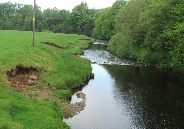
Glenmuir Water

The Glenmuir Water is a river in Ayrshire, Scotland.The river rises high in the hills south of Muirkirk. On reaching Lugar the Glenmuir is joined by the...

Murdoch's Cave

Murdoch's Cave, is a relatively small artificial cave created by William Murdoch (1754-1839) and his siblings in the soft red sandstone Lugar river bank...

Bello Mill

Bello Mill (also spelt Bellow Mill) was a mill dating from the 18th century on the river called the Lugar Water, on the estate of James Boswell, Lord Auchinleck...

Nearby Amenities

Located within 500m of 55.446891,-4.1704779
Power: pole
Lat/Long: 55.4508406/-4.1716265
Power: pole
Lat/Long: 55.4501203/-4.1704458
Power: pole
Lat/Long: 55.4499946/-4.1690711
Power: pole
Lat/Long: 55.4498409/-4.1674856
Power: pole
Lat/Long: 55.449697/-4.1659173
Power: pole
Lat/Long: 55.4495627/-4.1645169
Power: pole
Lat/Long: 55.4507225/-4.1741735
Power: pole
Lat/Long: 55.4501927/-4.1742685
Power: pole
Lat/Long: 55.449559/-4.1743703
Power: pole
Lat/Long: 55.4489394/-4.1744811
Power: pole
Lat/Long: 55.4480773/-4.1746123
Power: pole
Lat/Long: 55.4473088/-4.1747401
The data included in this document is from www.openstreetmap.org. The data is made available under ODbL.

Have you been to West Guelt Plantation?

Leave your review of West Guelt Plantation below (or comments, questions and feedback).