Windy Standard

Hill, Mountain in Kirkcudbrightshire

Scotland

Windy Standard

Windy Rig Wind Farm on Keoch Rig The turbine blade on the ground to the right had been damaged.
Windy Rig Wind Farm on Keoch Rig Credit: wrobison

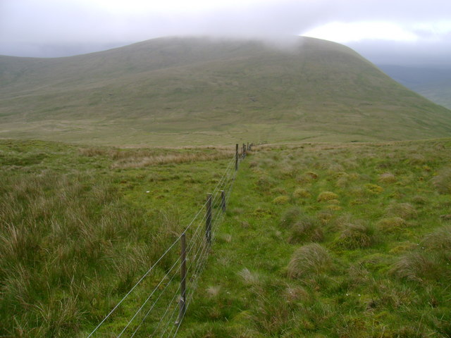
Windy Standard is a prominent hill located in Kirkcudbrightshire, Scotland. It is part of the Southern Uplands range and stands at an impressive height of 698 meters (2,290 feet) above sea level. The hill is known for its challenging terrain and steep slopes, making it a popular destination for hikers and outdoor enthusiasts looking for a physical challenge.

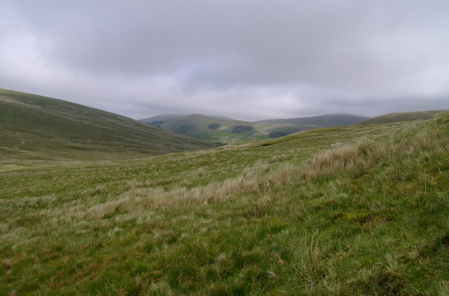
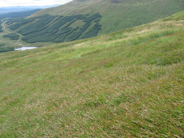
Windy Standard offers stunning panoramic views of the surrounding countryside, including the rolling hills and valleys of Kirkcudbrightshire. On a clear day, visitors can see all the way to the Irish Sea and even catch a glimpse of the Isle of Man in the distance.

The hill is named for its often blustery conditions, with strong winds frequently blowing across its exposed summit. Despite the challenging weather, Windy Standard remains a popular hiking destination, with several well-marked trails leading to the summit. The hill is also home to a variety of wildlife, including birds of prey and mountain hares, making it a great spot for nature lovers to explore.

If you have any feedback on the listing, please let us know in the comments section below.

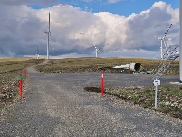
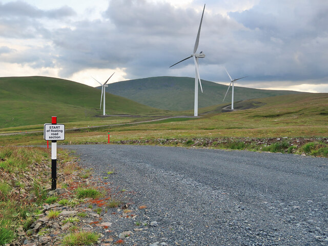
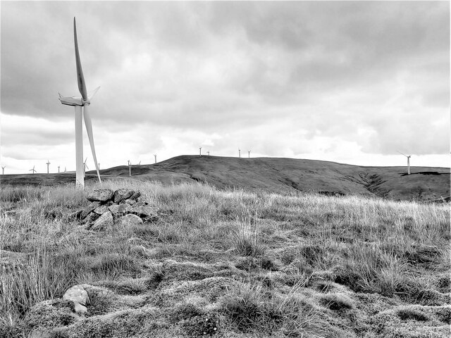
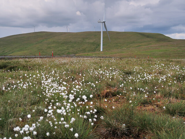
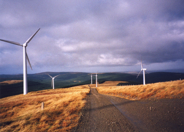
Windy Standard Images

Images are sourced within 2km of 55.287951/-4.1743911 or Grid Reference NS6201. Thanks to Geograph Open Source API. All images are credited.

Windy Rig Wind Farm on Keoch Rig The turbine blade on the ground to the right had been damaged.
Windy Rig Wind Farm on Keoch Rig
The turbine blade on the ground to the right had been damaged.
Floating road section in Windy Rig Wind Farm Possibly the cheapest way to build the road where the peat gets too deep.
Floating road section in Windy Rig Wind Farm
Possibly the cheapest way to build the road where the peat gets too deep.
Dugland Summit Cairn Looking towards Windy Standard from the Donald Top of Dugland.

Hill number : 1771
Height : 611.5m / 2006ft
Dugland Summit Cairn
Looking towards Windy Standard from the Donald Top of Dugland. Hill number : 1771 Height : 611.5m / 2006ft
Dugland Summit Cairn Looking towards Cairnsmore of Carsphairn from the Donald Top of Dugland.

Hill number : 1771.
Height : 611.5m / 2006ft.
Dugland Summit Cairn
Looking towards Cairnsmore of Carsphairn from the Donald Top of Dugland. Hill number : 1771. Height : 611.5m / 2006ft.
Dugland Summit Cairn Looking towards Windy Standard from the Donald Top of Dugland.

Hill number : 1771.
Height : 611.5m / 2006ft.
Dugland Summit Cairn
Looking towards Windy Standard from the Donald Top of Dugland. Hill number : 1771. Height : 611.5m / 2006ft.
Wind Farm on Jedburgh Knees Taken from the slopes of Windy Standard.

On a day like this, the wind farm seems to add interest to the monotony of the extensive forestry. Well, almost!
Wind Farm on Jedburgh Knees
Taken from the slopes of Windy Standard. On a day like this, the wind farm seems to add interest to the monotony of the extensive forestry. Well, almost!
Bog cotton and wind turbines on Keoch Rig
Dugland summit cairn Cairn on the rather flat summit of Dugland, with Cairnsmore of Carsphairn looming to the south.
Dugland summit cairn
Cairn on the rather flat summit of Dugland, with Cairnsmore of Carsphairn looming to the south.
Along the fence to Alhang This fence descends from the col between Windy Standard and Millaneoch Hill to the lower col between Alhang and the two aforementioned hills before climbing towards the summit of Alhang.  It comes close to marking the boundary between East Ayrshire and Dumfries and Galloway, although the boundary follows the watershed more closely along this stretch.
Along the fence to Alhang
This fence descends from the col between Windy Standard and Millaneoch Hill to the lower col between Alhang and the two aforementioned hills before climbing towards the summit of Alhang. It comes close to marking the boundary between East Ayrshire and Dumfries and Galloway, although the boundary follows the watershed more closely along this stretch.
Rough grazing below Alhang Rough grazing land on the northwestern slopes of Alhang, near the head of the Afton Valley.
Rough grazing below Alhang
Rough grazing land on the northwestern slopes of Alhang, near the head of the Afton Valley.
Windy Standard trig point Looking towards Cairnsmore of Carsphairn from the summit of Windy Standard.
Windy Standard trig point
Looking towards Cairnsmore of Carsphairn from the summit of Windy Standard.
Below Bawnhead
Below Bawnhead
Slopes of Dugland. Looking down to the Clennoch Burn from the slopes of Dugland (608m). Southward view.

---
Dugland has since been resurveyed at 612m, without any of the fuss which accompanies such changes in England or Wales
Slopes of Dugland.
Looking down to the Clennoch Burn from the slopes of Dugland (608m). Southward view. --- Dugland has since been resurveyed at 612m, without any of the fuss which accompanies such changes in England or Wales
Dugland. View east from the summit, showing the construction works for the Windy Standard power station in the distance.
Dugland.
View east from the summit, showing the construction works for the Windy Standard power station in the distance.
Windy Standard. Power station under construction.  Base for a turbine on the left of the dreaded new road.
Windy Standard.
Power station under construction. Base for a turbine on the left of the dreaded new road.
Wind farm on Jedburgh Knees from Windy Standard View of the wind farm on Jedburgh Knees as seen from the trig point on Windy Standard.
Wind farm on Jedburgh Knees from Windy Standard
View of the wind farm on Jedburgh Knees as seen from the trig point on Windy Standard.
Wind turbine on Windy Standard One of several wind turbines on Windy Standard. In the background is  Cairnsmore of Carsphairn.
Wind turbine on Windy Standard
One of several wind turbines on Windy Standard. In the background is Cairnsmore of Carsphairn.
Turbine Alley Part of the avenue of wind turbines that line Gallows Rig and Jedburgh Knees.
Turbine Alley
Part of the avenue of wind turbines that line Gallows Rig and Jedburgh Knees.
Show me another place!

Windy Standard is located at Grid Ref: NS6201 (Lat: 55.287951, Lng: -4.1743911)

Unitary Authority: Dumfries and Galloway

Police Authority: Dumfries and Galloway

What 3 Words

///bothered.simulations.kilts. Near New Cumnock, East Ayrshire

Nearby Locations

Windy Standard

Related Wikis

Windy Standard

Windy Standard is a hill in the Carsphairn and Scaur Hills range, part of the Southern Uplands of Scotland. It lies in Dumfries and Galloway, south of...

Cairnsmore of Carsphairn

Cairnsmore of Carsphairn is a hill in the Carsphairn and Scaur Hills range, part of the Southern Uplands of Scotland. An alternative name, rarely used...

Blackcraig Hill

Blackcraig Hill is a hill in the Carsphairn and Scaur Hills range, part of the Southern Uplands of Scotland. It lies southeast of the town of New Cumnock...

Nearby Amenities

Located within 500m of 55.287951,-4.1743911
Generator Method: wind_turbine
Generator Output Electricity: 0.6 MW
Generator Source: wind
Generator Type: horizontal_axis
Power: generator
Lat/Long: 55.2900946/-4.1758033
Generator Method: wind_turbine
Generator Output Electricity: 0.6 MW
Generator Source: wind
Generator Type: horizontal_axis
Power: generator
Lat/Long: 55.2857327/-4.1728636
Generator Method: wind_turbine
Generator Output Electricity: 0.6 MW
Generator Source: wind
Generator Type: horizontal_axis
Power: generator
Lat/Long: 55.2855796/-4.1703423
Generator Method: wind_turbine
Generator Output Electricity: 0.6 MW
Generator Source: wind
Generator Type: horizontal_axis
Power: generator
Lat/Long: 55.290339/-4.1732713
Generator Method: wind_turbine
Generator Output Electricity: 0.6 MW
Generator Source: wind
Generator Type: horizontal_axis
Power: generator
Lat/Long: 55.2914508/-4.177713
Generator Method: wind_turbine
Generator Output Electricity: 0.6 MW
Generator Source: wind
Generator Type: horizontal_axis
Power: generator
Lat/Long: 55.2887628/-4.1763183
Generator Method: wind_turbine
Generator Output Electricity: 0.6 MW
Generator Source: wind
Generator Type: horizontal_axis
Power: generator
Lat/Long: 55.2870337/-4.1754707
Generator Method: wind_turbine
Generator Output Electricity: 0.6 MW
Generator Source: wind
Generator Type: horizontal_axis
Power: generator
Lat/Long: 55.2916524/-4.1753634
Generator Method: wind_turbine
Generator Output Electricity: 0.6 MW
Generator Source: wind
Generator Type: horizontal_axis
Power: generator
Lat/Long: 55.2872784/-4.1719945
Windy Standard
Designation: Graham
Ele: 697
Natural: peak
Source: SMC
Lat/Long: 55.2880632/-4.1743638
The data included in this document is from www.openstreetmap.org. The data is made available under ODbL.

Have you been to Windy Standard?

Leave your review of Windy Standard below (or comments, questions and feedback).