Balterley Heath
Settlement in Staffordshire / Cheshire Newcastle-under-Lyme
England
Balterley Heath
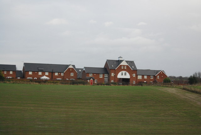
Balterley Heath is a small rural area situated on the border of Staffordshire and Cheshire counties in England. It is located approximately 9 miles southeast of the town of Crewe and about 5 miles northwest of Stoke-on-Trent. The heath is part of the larger Balterley Green and Balterley Village.
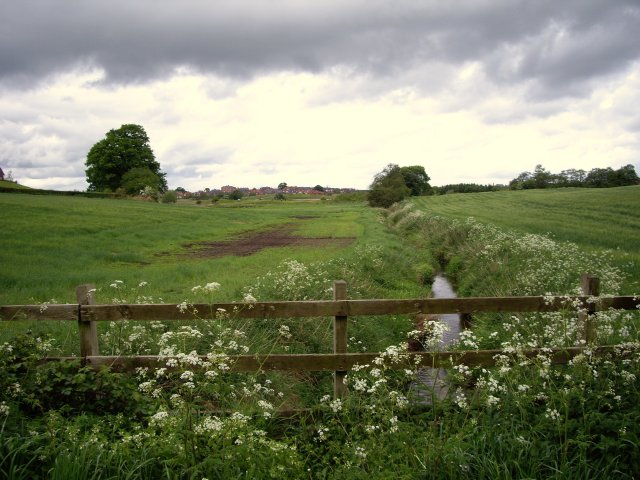
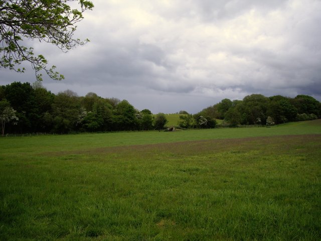
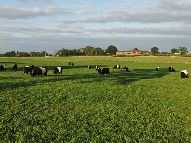
The area is characterized by its picturesque landscapes, with rolling green fields, woodlands, and a variety of wildlife. Balterley Heath is known for its rich biodiversity, attracting nature enthusiasts and birdwatchers. The heath is home to several rare and protected species, including curlews, lapwings, and great-crested newts.
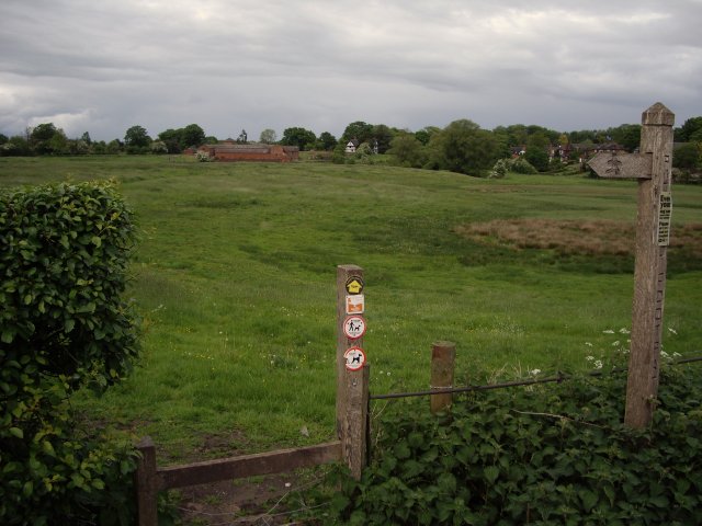
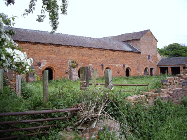
Historically, Balterley Heath was primarily used for farming, with agriculture being a significant industry in the area. However, over the years, it has also become a popular destination for outdoor activities such as hiking, cycling, and horse riding. There are several well-maintained footpaths and bridleways that crisscross the heath, offering stunning views of the surrounding countryside.
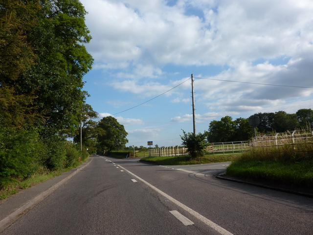
Despite its rural charm, Balterley Heath is conveniently located near major transportation routes. The M6 motorway is easily accessible, providing convenient links to nearby cities such as Stafford, Manchester, and Birmingham. Additionally, the area is served by several railway stations, including Kidsgrove and Crewe, making it easily accessible for both residents and visitors.
Overall, Balterley Heath offers a tranquil and picturesque setting, making it an ideal destination for nature lovers and those seeking a peaceful retreat in the heart of the English countryside.
If you have any feedback on the listing, please let us know in the comments section below.
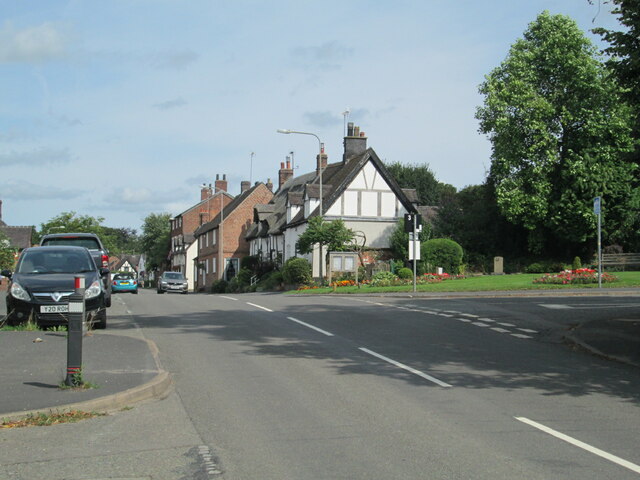
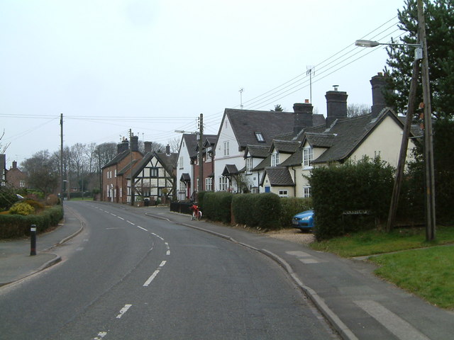
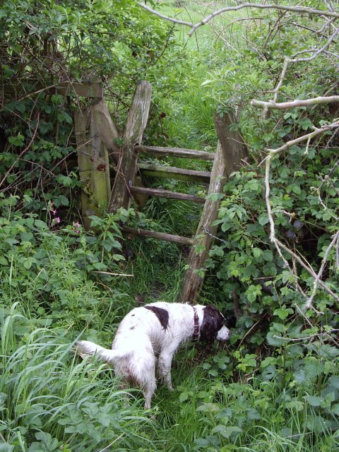
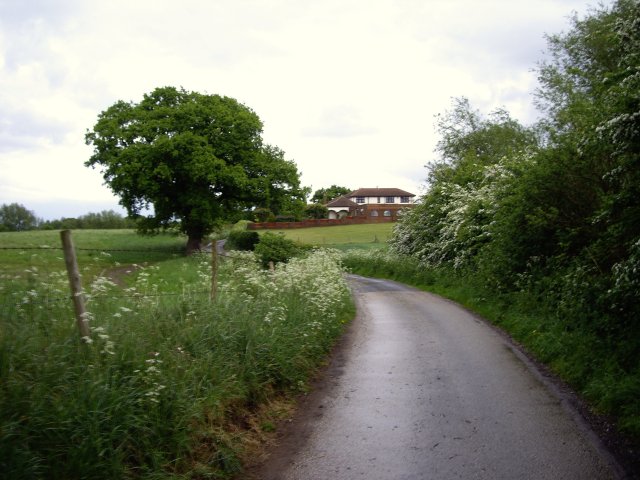
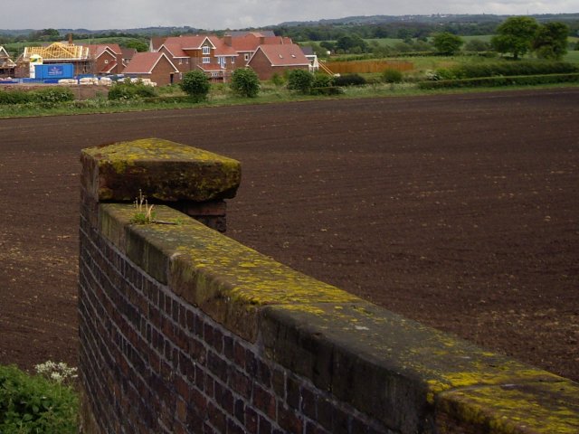
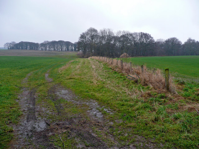
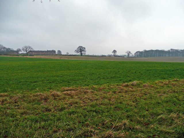
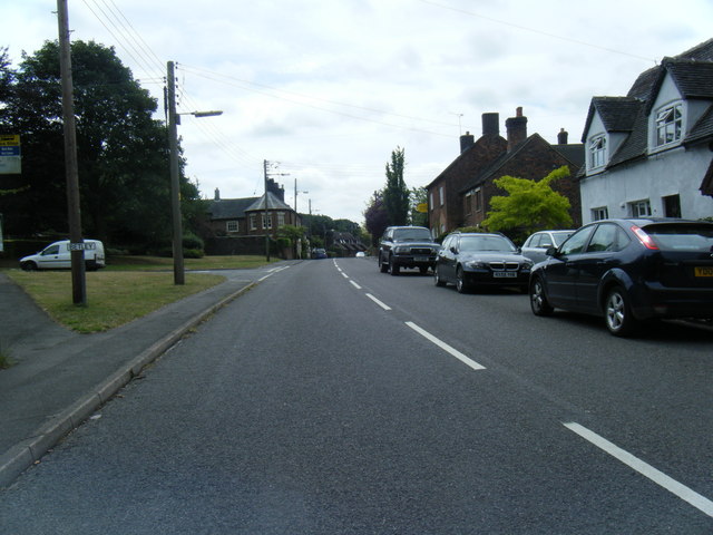
Balterley Heath Images
Images are sourced within 2km of 53.050788/-2.375907 or Grid Reference SJ7450. Thanks to Geograph Open Source API. All images are credited.


Balterley Heath is located at Grid Ref: SJ7450 (Lat: 53.050788, Lng: -2.375907)
Administrative County: Staffordshire
District: Newcastle-under-Lyme
Police Authority: Staffordshire
What 3 Words
///rebel.lunging.alarmed. Near Betley, Staffordshire
Nearby Locations
Related Wikis

Balterley Heath
Balterley Heath is a village in the traditional county of Cheshire, England. It is now part of Balterley in the administrative county of Staffordshire...

Black Firs and Cranberry Bog
Black Firs and Cranberry Bog is a nature reserve of the Staffordshire Wildlife Trust, adjacent to Balterley Heath and about 1 mile (1.6 km) north of the...
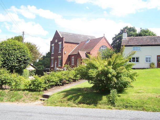
Englesea Brook Chapel and Museum
Englesea Brook Chapel and Museum is in the village of Englesea-Brook, Cheshire, England. Built in 1828, the chapel was one of the earliest chapels of...
Englesea-Brook
Englesea-Brook is a small rural village in the unitary authority of Cheshire East and the ceremonial county of Cheshire, England. Located close to Crewe...
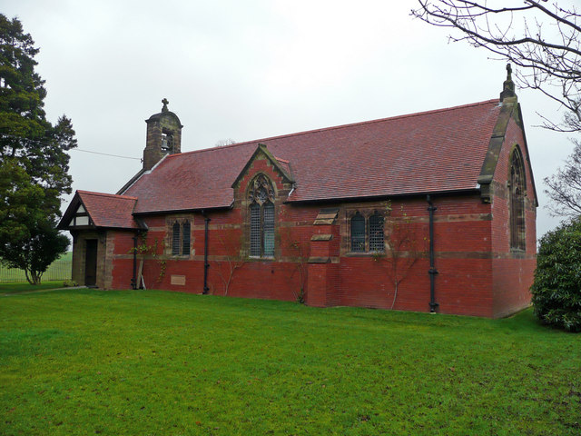
All Saints Church, Balterley
All Saints Church is in the village of Balterley, Staffordshire, England. It is an active Anglican parish church in the deanery of Congleton, the archdeaconry...

Balterley
Balterley is a village and civil parish in the borough of Newcastle-under-Lyme in Staffordshire, England. According to the 2001 census it had a population...

Betley
Betley is a village and civil parish in the borough of Newcastle-under-Lyme in Staffordshire, England, about halfway between the town of Newcastle-under...
Chorlton, Cheshire East
Chorlton is a village (at SJ728504) and former civil parish, now in the parish of Hough and Chorlton, in the unitary authority area of Cheshire East and...
Nearby Amenities
Located within 500m of 53.050788,-2.375907Have you been to Balterley Heath?
Leave your review of Balterley Heath below (or comments, questions and feedback).