Balterley Mere

Lake, Pool, Pond, Freshwater Marsh in Staffordshire

England

Balterley Mere

Unusual Style of Stile This footpath does not seem to be used much so there is not a clear path. Helpfully the stiles round here do not have the yellow arrows on them either. Without the map I would be lost.
Unusual Style of Stile Credit: Ian Bottomley

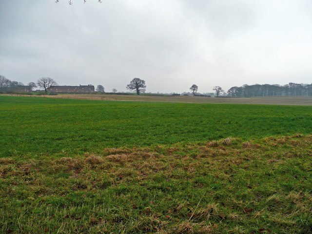
Balterley Mere, located in Staffordshire, is a picturesque body of water encompassing an area of approximately 13.5 hectares. Designated as a Site of Special Scientific Interest (SSSI), this freshwater marshland plays a vital role in supporting a diverse range of flora and fauna, making it a haven for wildlife enthusiasts and nature lovers.

Formed during the last Ice Age, Balterley Mere is a natural lake that boasts crystal clear waters, thanks to the surrounding wetlands that act as a natural filtration system. The lake itself is relatively shallow, with an average depth of around 2 meters, and its banks are adorned with reed beds and lush vegetation.

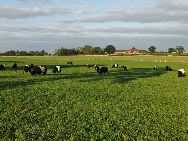
The diverse ecosystem of Balterley Mere supports a wide variety of plant species, including water lilies, bulrushes, and pondweeds. These plants provide a rich habitat for a multitude of wildlife, such as dragonflies, frogs, and newts. Birdwatchers are often treated to the sight of herons, kingfishers, and numerous species of ducks and other waterfowl.

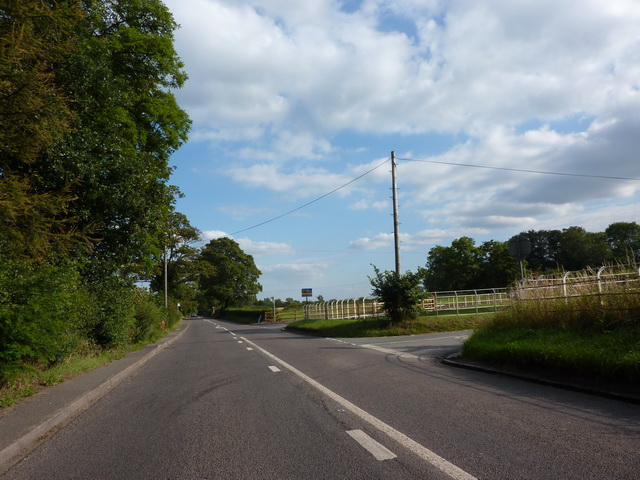
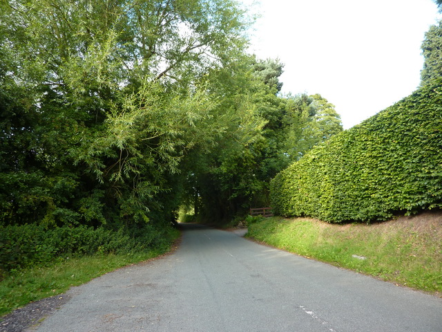
The Mere is accessible via a network of well-maintained footpaths, allowing visitors to explore its beauty and observe the wildlife up close. Fishing is also a popular activity at Balterley Mere, with anglers seeking carp, roach, and perch that inhabit its waters.

Balterley Mere, with its serene atmosphere and abundant biodiversity, offers a peaceful escape for those seeking to connect with nature. Its unique blend of marshland, lake, and wetlands make it a true gem within the Staffordshire landscape.

If you have any feedback on the listing, please let us know in the comments section below.

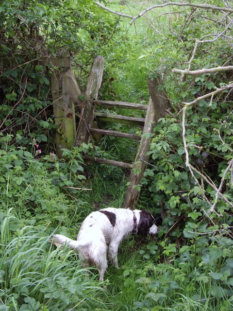
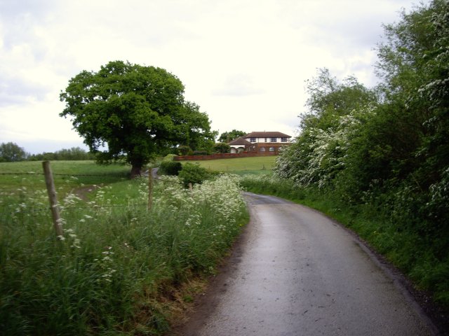
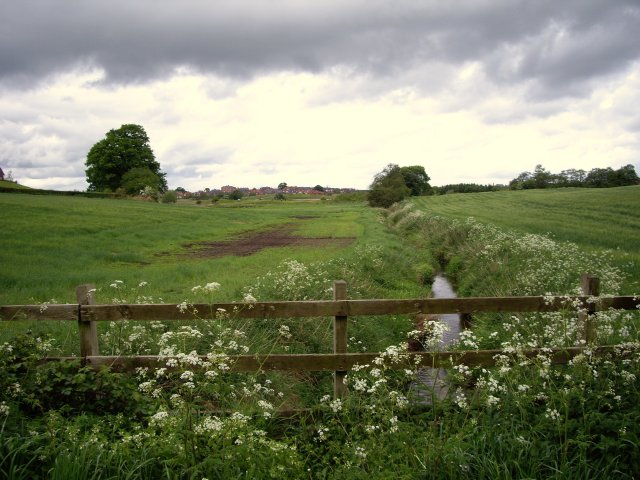
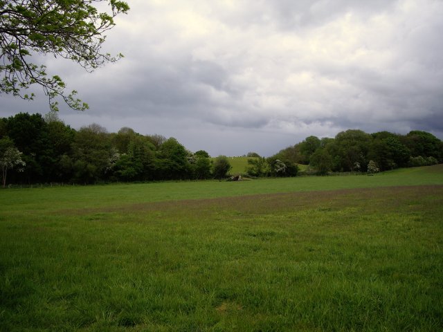
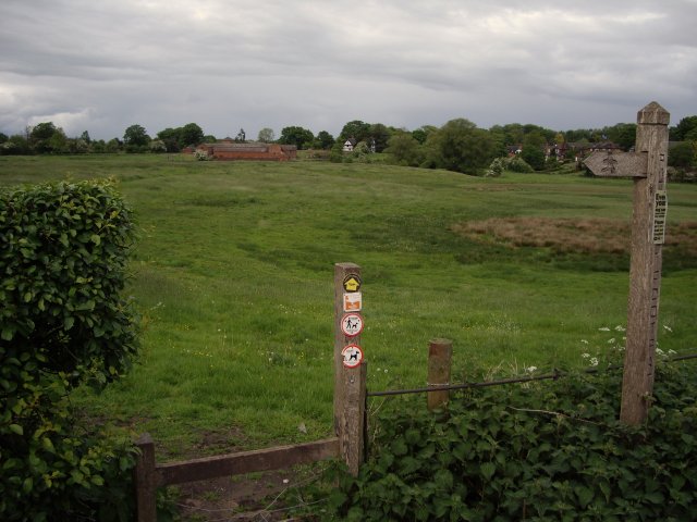
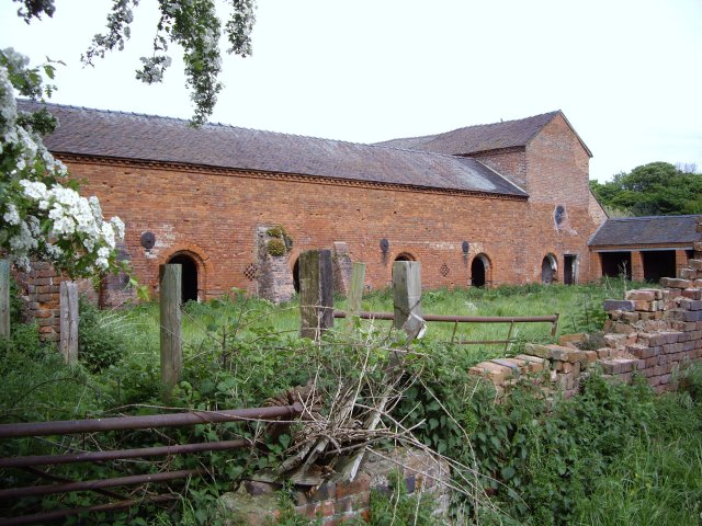
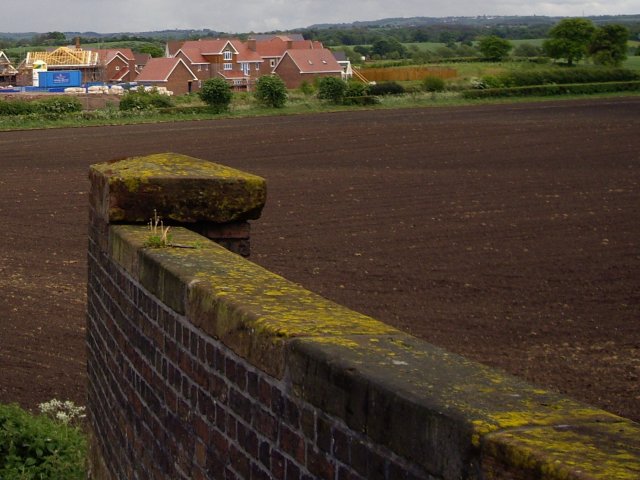
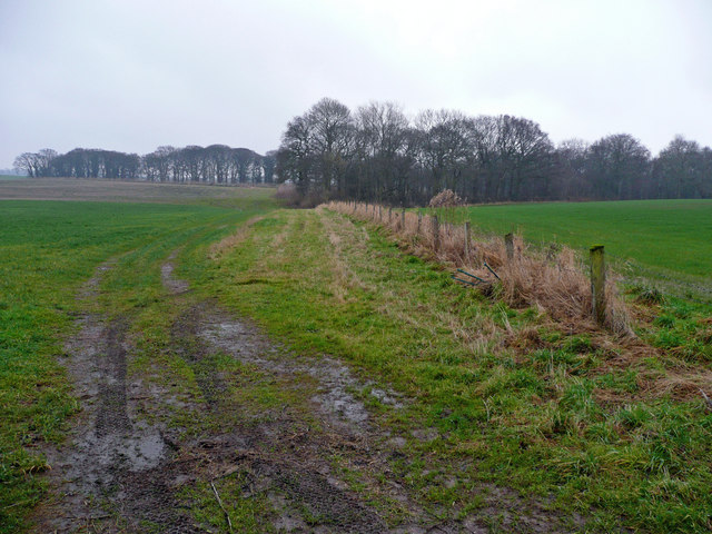
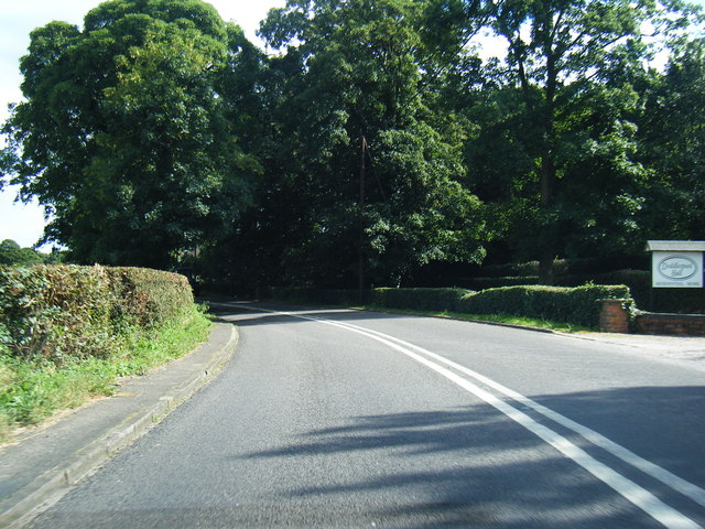
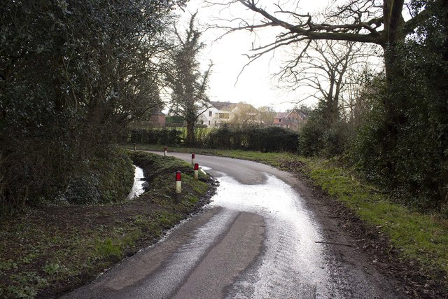
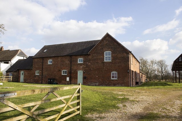
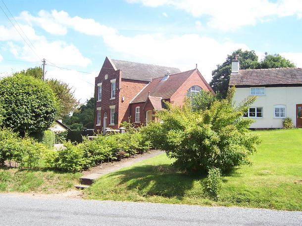
Balterley Mere Images

Images are sourced within 2km of 53.05409/-2.3771877 or Grid Reference SJ7450. Thanks to Geograph Open Source API. All images are credited.

Unusual Style of Stile This footpath does not seem to be used much so there is not a clear path. Helpfully the stiles round here do not have the yellow arrows on them either. Without the map I would be lost.
Unusual Style of Stile
This footpath does not seem to be used much so there is not a clear path. Helpfully the stiles round here do not have the yellow arrows on them either. Without the map I would be lost.
View from footpath towards Elmer Ridding
Waybutt Lane heading towards The Anchorage
Mere Gutter from Waybutt Lane
View over field towards Elmer Ridding and The Slum
Footpath to Betley Old Hall
Barn at back of Betley Old Hall
Footpath/farm road to the main road in Betley
View from bridge of new houses by Waybutt Lane
Stockings Cote A view east towards this woodland from Back Lane.
Stockings Cote
A view east towards this woodland from Back Lane.
Over fields to Balterley Hall View east of Back Lane.
Over fields to Balterley Hall
View east of Back Lane.
Belted Galloways nr Balterley Hall
Junction of Waybutt Lane and the A531
Back Lane, Betley
Back Lane, Betley
A531 at Doddlespool Hall
Main Road, Betley
Main Road, Betley
Buddileigh Farm Converted farmstead at Buddileigh farm
Buddileigh Farm
Converted farmstead at Buddileigh farm
The Elms Farm Converted farm buildings at the Elms Farm
The Elms Farm
Converted farm buildings at the Elms Farm
Show me another place!

Balterley Mere is located at Grid Ref: SJ7450 (Lat: 53.05409, Lng: -2.3771877)

Unitary Authority: Cheshire East

Police Authority: Cheshire

What 3 Words

///district.chainsaw.routines. Near Chorlton, Cheshire

Related Wikis

Balterley Heath

Balterley Heath is a village in the traditional county of Cheshire, England. It is now part of Balterley in the administrative county of Staffordshire...

Black Firs and Cranberry Bog

Black Firs and Cranberry Bog is a nature reserve of the Staffordshire Wildlife Trust, adjacent to Balterley Heath and about 1 mile (1.6 km) north of the...

Englesea-Brook

Englesea-Brook is a small rural village in the unitary authority of Cheshire East and the ceremonial county of Cheshire, England. Located close to Crewe...

Englesea Brook Chapel and Museum

Englesea Brook Chapel and Museum is in the village of Englesea-Brook, Cheshire, England. Built in 1828, the chapel was one of the earliest chapels of...

Balterley Green

Balterley Green is a village in Staffordshire, England. The population at the 2011 population can be found under Balterley

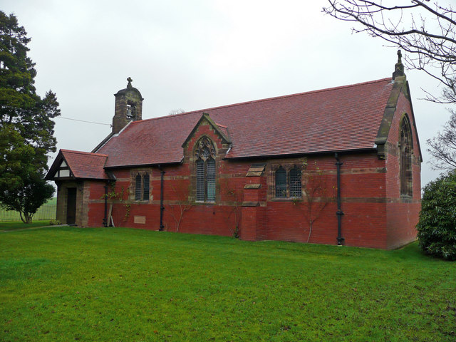
All Saints Church, Balterley

All Saints Church is in the village of Balterley, Staffordshire, England. It is an active Anglican parish church in the deanery of Congleton, the archdeaconry...
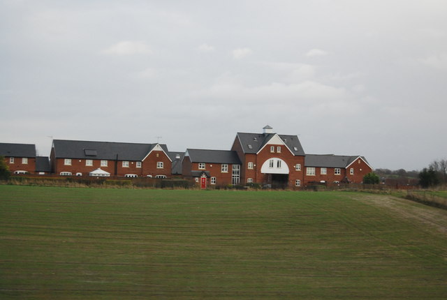
Balterley

Balterley is a village and civil parish in the borough of Newcastle-under-Lyme in Staffordshire, England. According to the 2001 census it had a population...

Chorlton, Cheshire East

Chorlton is a village (at SJ728504) and former civil parish, now in the parish of Hough and Chorlton, in the unitary authority area of Cheshire East and...

Nearby Amenities

Located within 500m of 53.05409,-2.3771877
Pub
The Broughton
Description: Paragon Group - Traditional and Asian inspired dishes.
Phone: +44 1270 814576
Website: https://thebroughton.co.uk/
Lat/Long: 53.0522744/-2.3801761
Bus Stop
Gorstyhill, Newcastle Road / Gorsty Hill Garage
Bus: yes
Naptan AtcoCode: 0600CR17470
Naptan Bearing: SE
Naptan CommonName: Gorsty Hill Garage
Naptan Indicator: opp
Naptan Landmark: Gorsty Hill Garage
Naptan LocalityName: Gorstyhill
Naptan NaptanCode: chetgtm
Naptan ShortCommonName: Gorsty Hill Garage
Naptan Street: Newcastle Road
Naptan Verified: no
Network: Cheshire East Council
Operator: Ansa Transport
Public Transport: platform
Source: naptan_import
Lat/Long: 53.0546183/-2.3838832
Bus Stop
Balterley Heath, Main Road / Broughton Arms PH
Bus: yes
Naptan AtcoCode: 3800C502200
Naptan Bearing: NW
Naptan CommonName: Broughton Arms PH
Naptan Indicator: opp
Naptan Landmark: Broughton Arms PH
Naptan LocalityName: Balterley Heath
Naptan NaptanCode: stadtatd
Naptan ShortCommonName: Broughton Arms PH
Naptan Street: Main Road
Naptan Verified: no
Public Transport: platform
Source: naptan_import
Lat/Long: 53.0525869/-2.3810454
Bus Stop
Balterley Heath, Main Road / Broughton Arms PH
Bus: yes
Naptan AtcoCode: 3800C502201
Naptan Bearing: SE
Naptan CommonName: Broughton Arms PH
Naptan Indicator: adj
Naptan Landmark: Broughton Arms PH
Naptan LocalityName: Balterley Heath
Naptan NaptanCode: stadtatg
Naptan ShortCommonName: Broughton Arms PH
Naptan Street: Main Road
Naptan Verified: no
Public Transport: platform
Source: naptan_import
Lat/Long: 53.0519249/-2.38004
Barrier: stile
Material: wood
Stile: stepover
Lat/Long: 53.0518649/-2.3757827
Bus Stop
Gorstyhill, Newcastle Road / Gorsty Hill Garage
Bus: yes
Naptan AtcoCode: 0600CR19163
Naptan Bearing: NW
Naptan BusStopType: CUS
Naptan CommonName: Gorsty Hill Garage
Naptan Indicator: o/s
Naptan Landmark: Gorsty Hill Garage
Naptan LocalityName: Gorstyhill
Naptan NaptanCode: cheadgta
Naptan ShortCommonName: Gorsty Hill Garage
Naptan Street: Newcastle Road
Network: Cheshire East Council
Operator: Ansa Transport
Public Transport: platform
Source: naptan_import
Lat/Long: 53.054367/-2.383844
Bus Stop
Balterley Heath, Four Lanes End / Broughton Arms PH
Bus: yes
Naptan AtcoCode: 0600CR19168
Naptan Bearing: E
Naptan BusStopType: CUS
Naptan CommonName: Broughton Arms PH
Naptan Crossing: Main Road
Naptan Indicator: opp
Naptan Landmark: Broughton Arms PH
Naptan LocalityName: Balterley Heath
Naptan NaptanCode: cheadgwa
Naptan PlusbusZoneRef: STOKEOT
Naptan ShortCommonName: Broughton Arms PH
Naptan Street: Four Lanes End
Network: Cheshire East Council
Operator: Ansa Transport
Public Transport: platform
Source: naptan_import
Lat/Long: 53.0525447/-2.3804557
The data included in this document is from www.openstreetmap.org. The data is made available under ODbL.

Have you been to Balterley Mere?

Leave your review of Balterley Mere below (or comments, questions and feedback).