Black Firs
Wood, Forest in Staffordshire Newcastle-under-Lyme
England
Black Firs
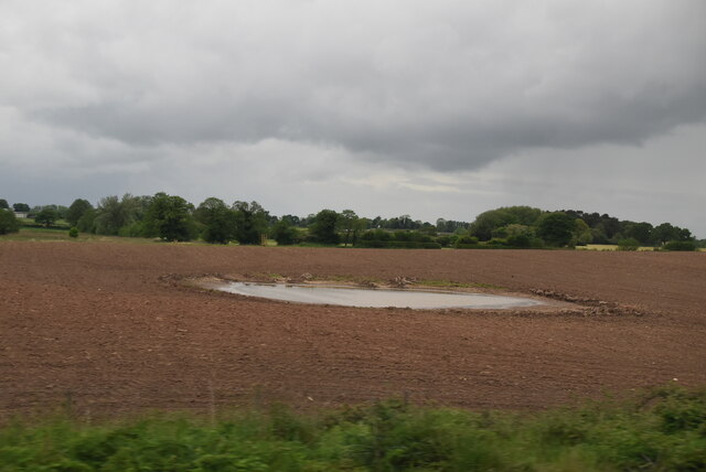
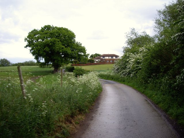
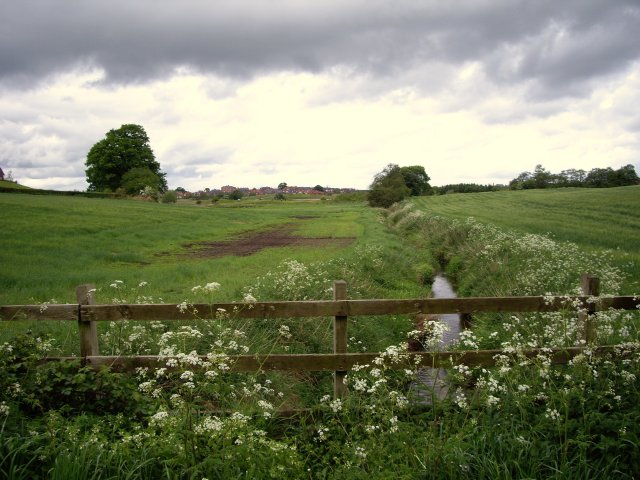
Black Firs is a woodland area located in Staffordshire, England. Covering an expansive area, it is known for its dense forest and scenic beauty. The woodland is a part of Cannock Chase, an Area of Outstanding Natural Beauty.
Black Firs is home to a variety of tree species, including oak, birch, and pine, which contribute to the rich biodiversity of the area. The dense canopy provides a habitat for numerous wildlife species, such as deer, foxes, and various bird species, making it a popular spot for nature enthusiasts and birdwatchers.
The woodland offers several walking trails and paths that allow visitors to explore its natural wonders. These routes vary in length and difficulty, catering to different fitness levels and interests. The paths meander through the forest, taking visitors to scenic viewpoints, tranquil ponds, and ancient trees, providing an opportunity to immerse oneself in nature and enjoy the peaceful surroundings.
Black Firs is well-preserved and maintained, with designated picnic areas and facilities for visitors. It is a popular destination for families, couples, and individuals seeking a retreat from the hustle and bustle of daily life. The woodland also hosts educational events and activities, allowing visitors to learn more about the local flora and fauna and the importance of conservation.
Overall, Black Firs in Staffordshire offers a serene and picturesque setting for nature lovers, with its lush forest, diverse wildlife, and well-maintained trails. Whether for a leisurely walk, a picnic, or a chance to observe wildlife, this woodland provides an ideal escape into nature.
If you have any feedback on the listing, please let us know in the comments section below.
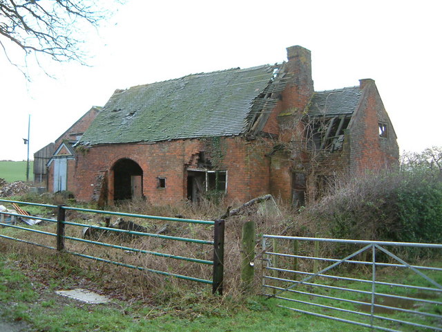
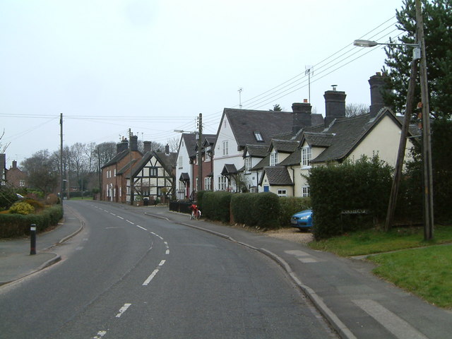
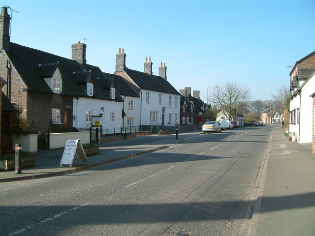
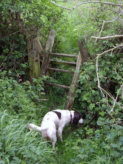
Black Firs Images
Images are sourced within 2km of 53.047642/-2.3780861 or Grid Reference SJ7450. Thanks to Geograph Open Source API. All images are credited.


Black Firs is located at Grid Ref: SJ7450 (Lat: 53.047642, Lng: -2.3780861)
Administrative County: Staffordshire
District: Newcastle-under-Lyme
Police Authority: Staffordshire
What 3 Words
///goofy.baseballs.glorified. Near Betley, Staffordshire
Nearby Locations
Related Wikis

Black Firs and Cranberry Bog
Black Firs and Cranberry Bog is a nature reserve of the Staffordshire Wildlife Trust, adjacent to Balterley Heath and about 1 mile (1.6 km) north of the...

Balterley Heath
Balterley Heath is a village in the traditional county of Cheshire, England. It is now part of Balterley in the administrative county of Staffordshire...
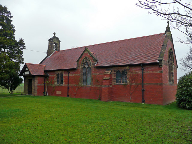
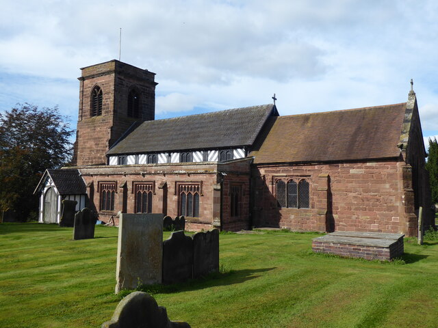
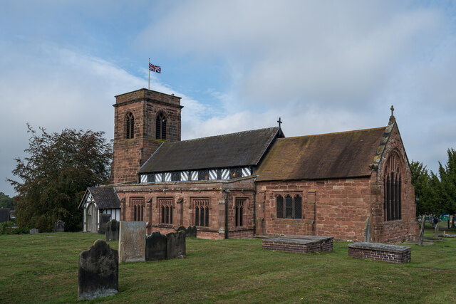
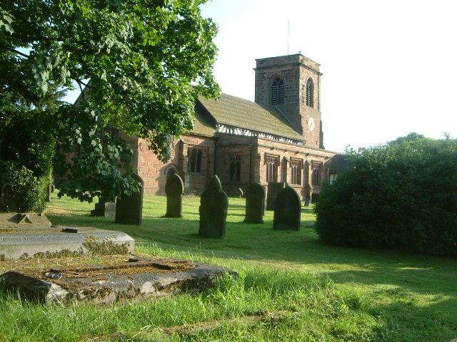
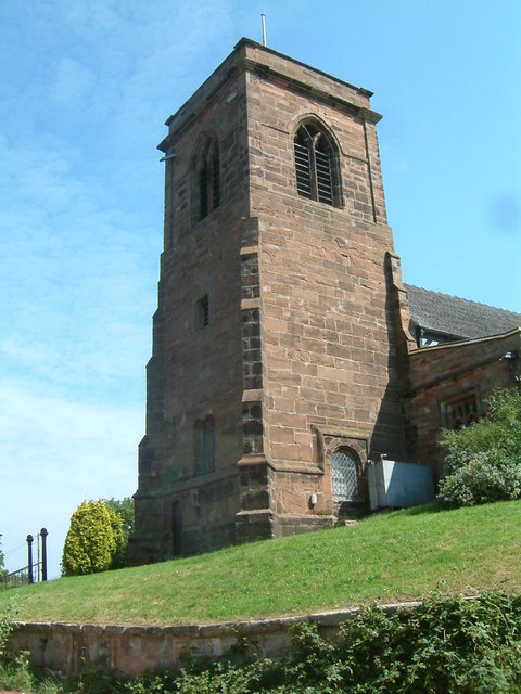
All Saints Church, Balterley
All Saints Church is in the village of Balterley, Staffordshire, England. It is an active Anglican parish church in the deanery of Congleton, the archdeaconry...
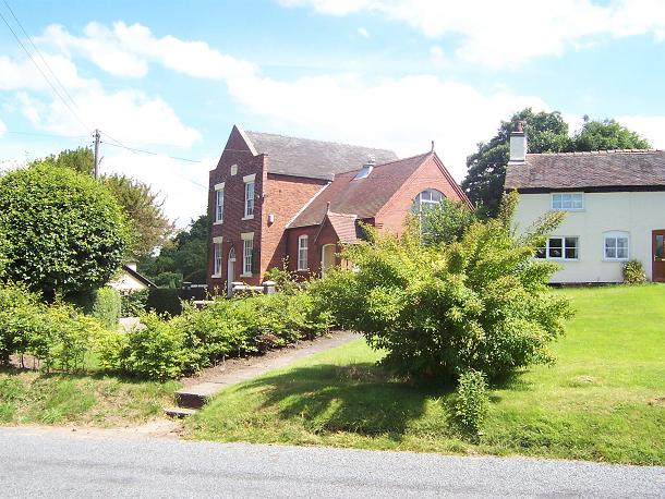
Englesea Brook Chapel and Museum
Englesea Brook Chapel and Museum is in the village of Englesea-Brook, Cheshire, England. Built in 1828, the chapel was one of the earliest chapels of...
Englesea-Brook
Englesea-Brook is a small rural village in the unitary authority of Cheshire East and the ceremonial county of Cheshire, England. Located close to Crewe...

Balterley
Balterley is a village and civil parish in the borough of Newcastle-under-Lyme in Staffordshire, England. According to the 2001 census it had a population...

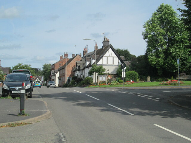
Betley
Betley is a village and civil parish in the borough of Newcastle-under-Lyme in Staffordshire, England, about halfway between the town of Newcastle-under...

Betley Court
Betley Court is an 18th-century country house in the ancient village of Betley, near Newcastle-under-Lyme, Staffordshire. It is a Grade II* listed building...
Nearby Amenities
Located within 500m of 53.047642,-2.3780861Have you been to Black Firs?
Leave your review of Black Firs below (or comments, questions and feedback).