Black Mere
Lake, Pool, Pond, Freshwater Marsh in Staffordshire Newcastle-under-Lyme
England
Black Mere
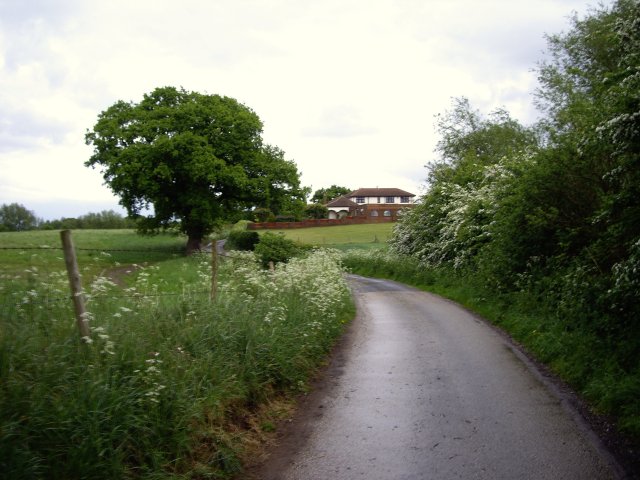
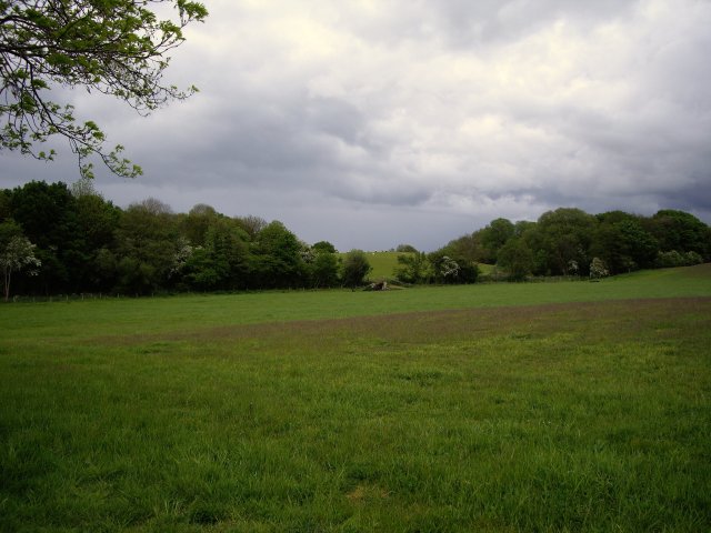
Black Mere is a stunning freshwater lake located in Staffordshire, England. Spanning an area of approximately 45 acres, it is a popular destination for nature lovers and outdoor enthusiasts. The lake is nestled within a picturesque landscape, surrounded by rolling hills and lush greenery.
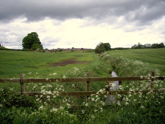
The water in Black Mere is incredibly clear and clean, making it an ideal habitat for a wide variety of aquatic plants and animals. It is home to several species of fish, including pike, perch, and roach, making it a favored spot for fishing enthusiasts. The lake also attracts numerous waterfowl, such as ducks and swans, which can often be seen gliding gracefully across its surface.
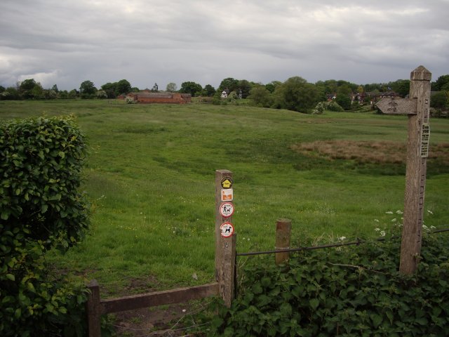
In addition to its natural beauty, Black Mere offers a range of recreational activities for visitors to enjoy. There are designated areas for boating and kayaking, allowing visitors to explore the lake's tranquil waters at their own pace. Surrounding the lake, there are numerous walking trails that offer breathtaking views of the surrounding countryside.
Black Mere is also home to a diverse range of plant life. The freshwater marshes around the lake support a variety of wetland plants, such as reeds, rushes, and water lilies. These marshes are not only visually stunning but also provide important habitats for many species of birds and insects.
Overall, Black Mere is a natural gem within the Staffordshire landscape. Its serene waters, diverse wildlife, and scenic surroundings make it a must-visit destination for anyone seeking a peaceful and immersive experience in nature.
If you have any feedback on the listing, please let us know in the comments section below.
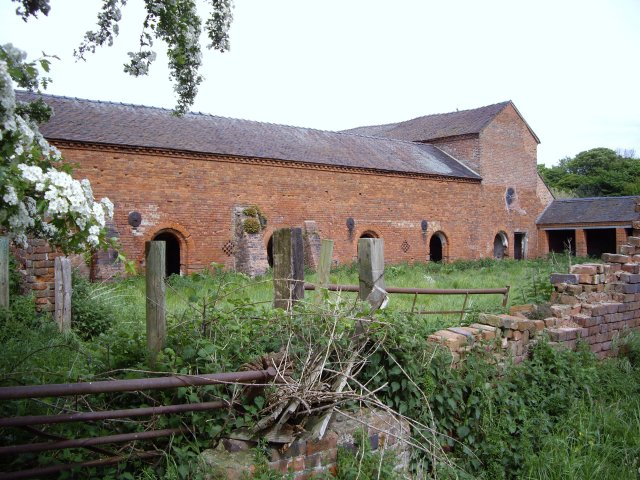
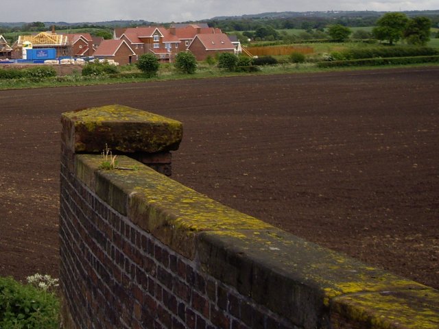
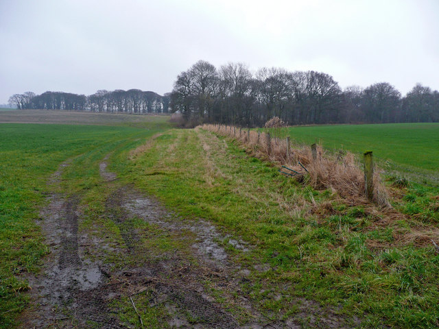
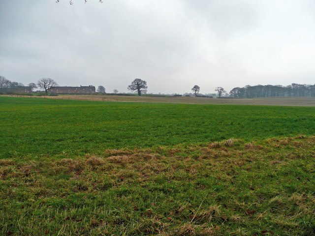
Black Mere Images
Images are sourced within 2km of 53.05035/-2.3747235 or Grid Reference SJ7450. Thanks to Geograph Open Source API. All images are credited.


Black Mere is located at Grid Ref: SJ7450 (Lat: 53.05035, Lng: -2.3747235)
Administrative County: Staffordshire
District: Newcastle-under-Lyme
Police Authority: Staffordshire
What 3 Words
///baroness.dwarves.free. Near Betley, Staffordshire
Nearby Locations
Related Wikis

Balterley Heath
Balterley Heath is a village in the traditional county of Cheshire, England. It is now part of Balterley in the administrative county of Staffordshire...

Black Firs and Cranberry Bog
Black Firs and Cranberry Bog is a nature reserve of the Staffordshire Wildlife Trust, adjacent to Balterley Heath and about 1 mile (1.6 km) north of the...
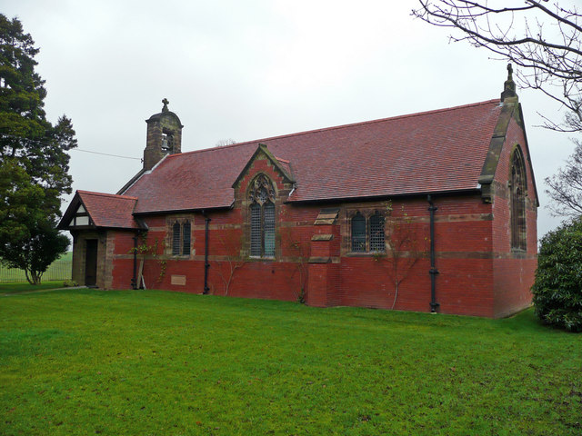
Englesea Brook Chapel and Museum
Englesea Brook Chapel and Museum is in the village of Englesea-Brook, Cheshire, England. Built in 1828, the chapel was one of the earliest chapels of...
Englesea-Brook
Englesea-Brook is a small rural village in the unitary authority of Cheshire East and the ceremonial county of Cheshire, England. Located close to Crewe...
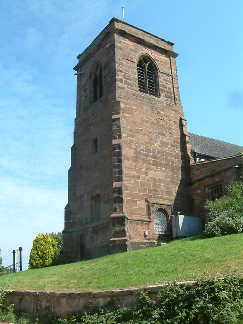
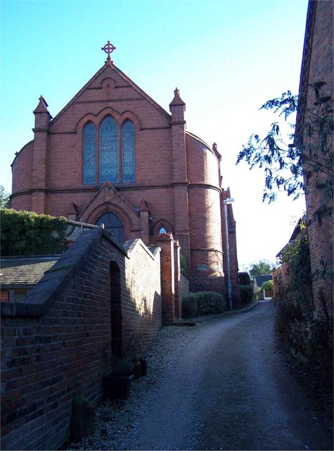
All Saints Church, Balterley
All Saints Church is in the village of Balterley, Staffordshire, England. It is an active Anglican parish church in the deanery of Congleton, the archdeaconry...

Balterley
Balterley is a village and civil parish in the borough of Newcastle-under-Lyme in Staffordshire, England. According to the 2001 census it had a population...
Balterley Green
Balterley Green is a village in Staffordshire, England. The population at the 2011 population can be found under Balterley

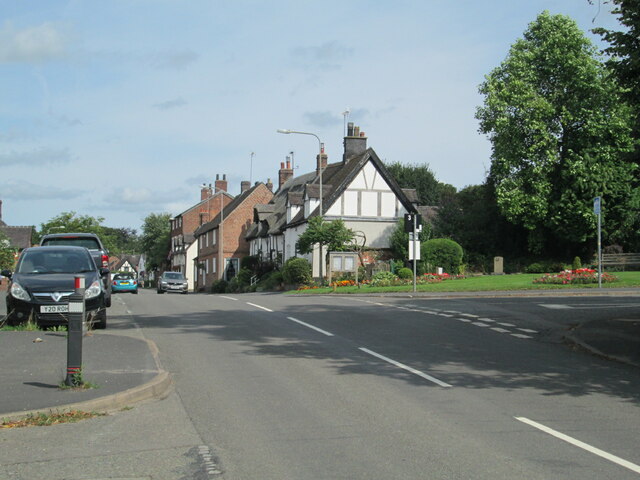
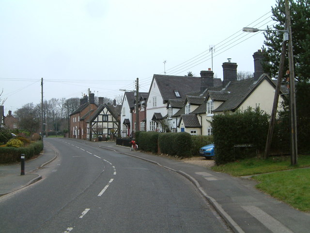
Betley
Betley is a village and civil parish in the borough of Newcastle-under-Lyme in Staffordshire, England, about halfway between the town of Newcastle-under...
Nearby Amenities
Located within 500m of 53.05035,-2.3747235Have you been to Black Mere?
Leave your review of Black Mere below (or comments, questions and feedback).