Balterley Green
Settlement in Staffordshire Newcastle-under-Lyme
England
Balterley Green
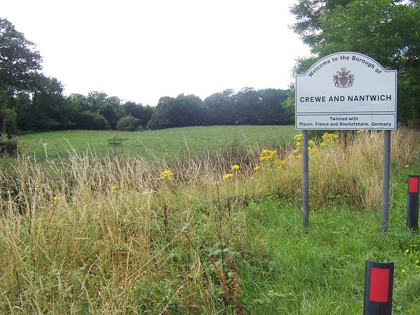
Balterley Green is a small village located in the county of Staffordshire, England. Situated approximately 6 miles west of the town of Newcastle-under-Lyme, Balterley Green offers residents a peaceful and rural setting.
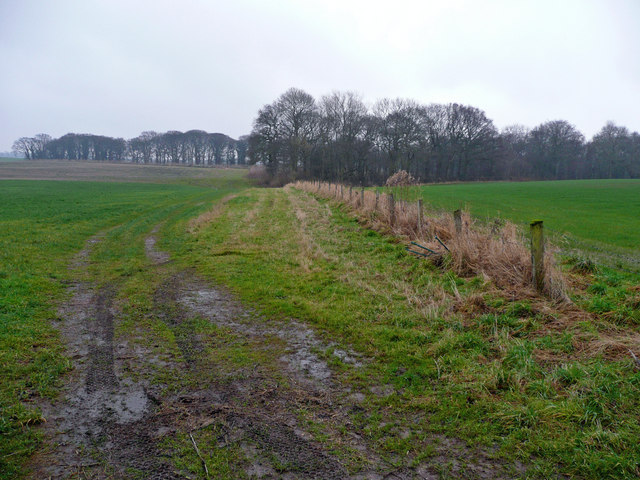
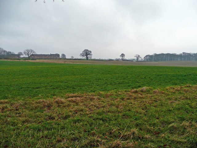
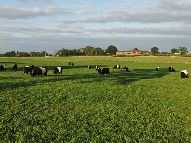
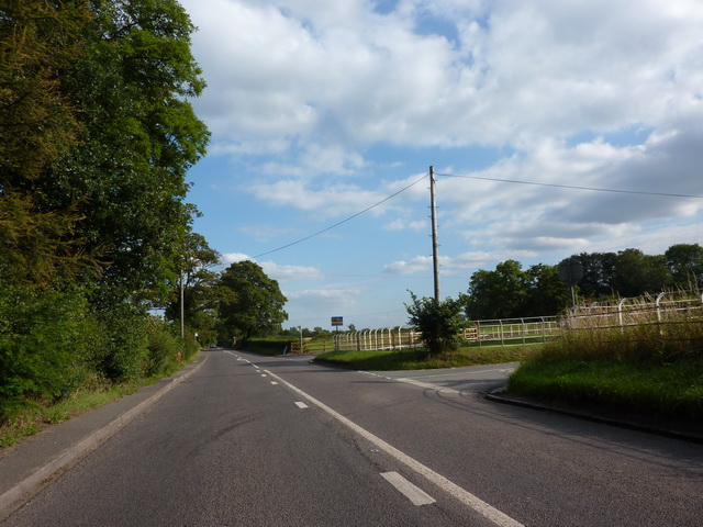
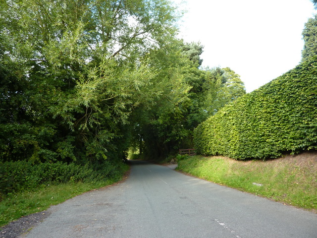
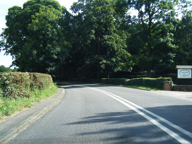
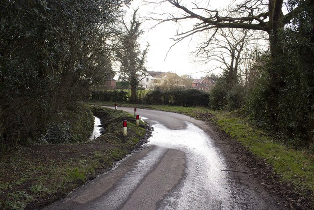
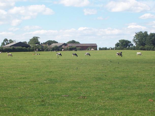
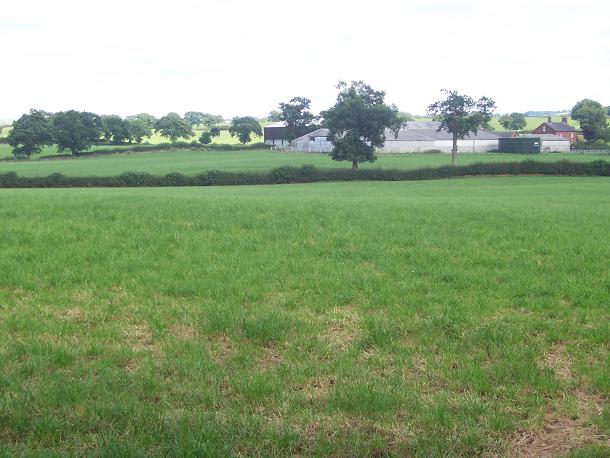
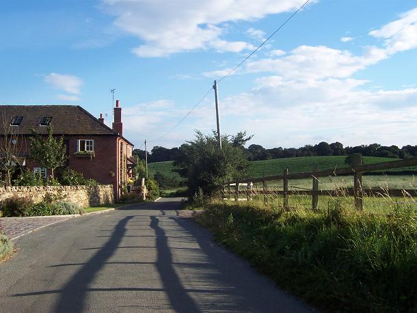
The village is characterized by its picturesque countryside surroundings, with rolling hills, open fields, and charming country lanes. It is a popular destination for nature lovers and outdoor enthusiasts, offering ample opportunities for walking, cycling, and exploring the natural beauty of the area.
Balterley Green is home to a tight-knit community, with a population of around 300 residents. The village has a strong sense of community spirit, with various social events and gatherings organized throughout the year, including village fairs and festivals.
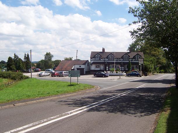
Facilities in Balterley Green are limited, with no shops or amenities within the village itself. However, the nearby town of Newcastle-under-Lyme provides all the necessary amenities, including supermarkets, shops, healthcare services, and schools, ensuring that residents have easy access to everyday necessities.
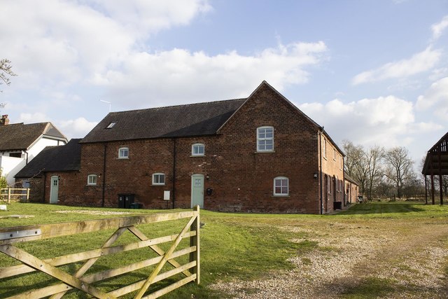
Historically, Balterley Green was known for its agricultural heritage, with many of the surrounding farms still in operation today. The village has managed to retain its traditional charm, with a number of historic buildings and cottages scattered throughout the area.
In summary, Balterley Green offers a tranquil and idyllic countryside setting, perfect for those seeking a peaceful retreat away from the hustle and bustle of city life. Its strong community spirit and natural beauty make it an attractive place to reside for those who appreciate a close-knit and rural lifestyle.
If you have any feedback on the listing, please let us know in the comments section below.
Balterley Green Images
Images are sourced within 2km of 53.056149/-2.358775 or Grid Reference SJ7651. Thanks to Geograph Open Source API. All images are credited.

Balterley Green is located at Grid Ref: SJ7651 (Lat: 53.056149, Lng: -2.358775)
Administrative County: Staffordshire
District: Newcastle-under-Lyme
Police Authority: Staffordshire
What 3 Words
///liners.access.cult. Near Betley, Staffordshire
Nearby Locations
Related Wikis
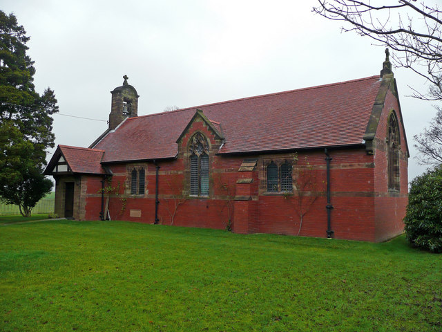
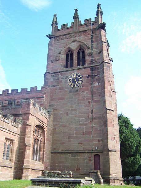
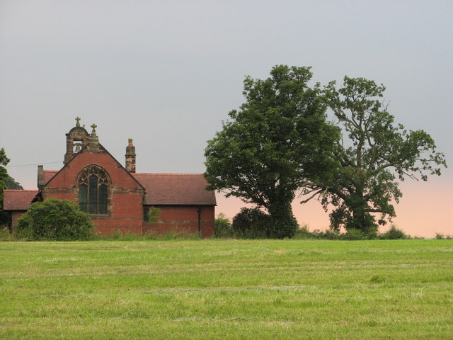
All Saints Church, Balterley
All Saints Church is in the village of Balterley, Staffordshire, England. It is an active Anglican parish church in the deanery of Congleton, the archdeaconry...

Balterley
Balterley is a village and civil parish in the borough of Newcastle-under-Lyme in Staffordshire, England. According to the 2001 census it had a population...
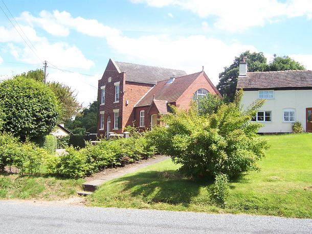
Englesea Brook Chapel and Museum
Englesea Brook Chapel and Museum is in the village of Englesea-Brook, Cheshire, England. Built in 1828, the chapel was one of the earliest chapels of...
Englesea-Brook
Englesea-Brook is a small rural village in the unitary authority of Cheshire East and the ceremonial county of Cheshire, England. Located close to Crewe...

Balterley Heath
Balterley Heath is a village in the traditional county of Cheshire, England. It is now part of Balterley in the administrative county of Staffordshire...

Barthomley
Barthomley is a village and ancient parish, and is now a civil parish in the unitary authority of Cheshire East and the ceremonial county of Cheshire...

St Bertoline's Church, Barthomley
St Bertoline's Church is in the village of Barthomley, Cheshire, England. The church is recorded in the National Heritage List for England as a designated...
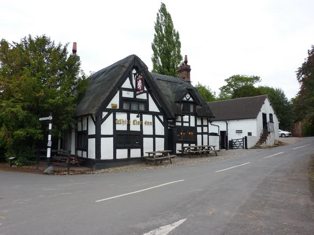
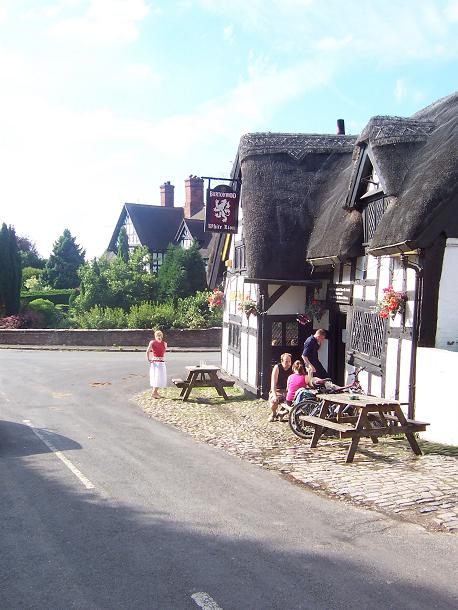
White Lion, Barthomley
The White Lion is a public house in Barthomley, Cheshire, England, just off junction 16 of the M6. It was built in 1614, and is recorded in the National...
Nearby Amenities
Located within 500m of 53.056149,-2.358775Have you been to Balterley Green?
Leave your review of Balterley Green below (or comments, questions and feedback).