Balterley
Settlement in Staffordshire Newcastle-under-Lyme
England
Balterley
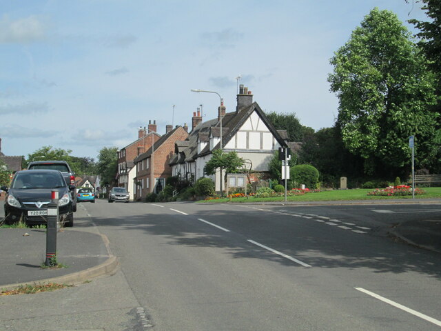
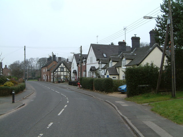
Balterley is a small village located in the county of Staffordshire, England. Situated approximately 6 miles south of the town of Newcastle-under-Lyme, Balterley is nestled in the picturesque countryside of the Staffordshire Moorlands.
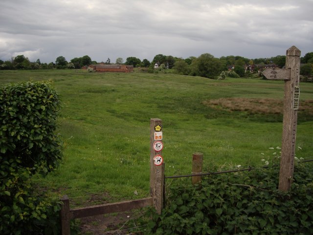
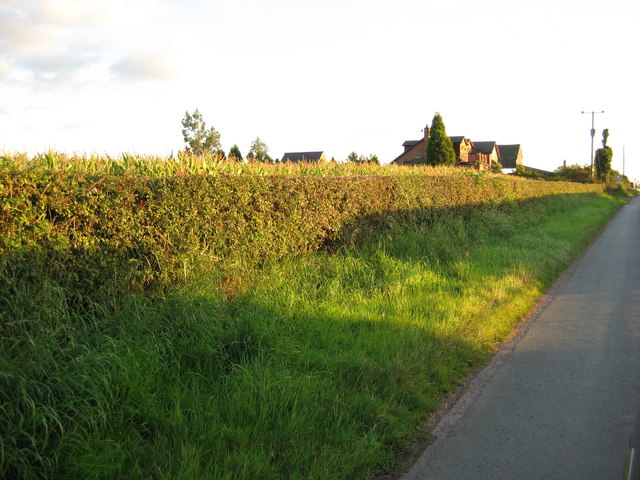
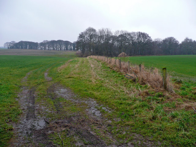
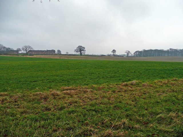
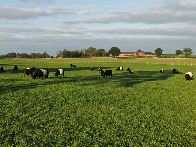
The village is home to a close-knit community, with a population of around 500 residents. It boasts a peaceful and idyllic setting, surrounded by rolling hills and farmland. The area is known for its stunning natural beauty, making it a popular destination for outdoor enthusiasts and nature lovers.
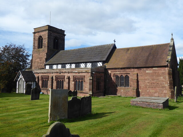
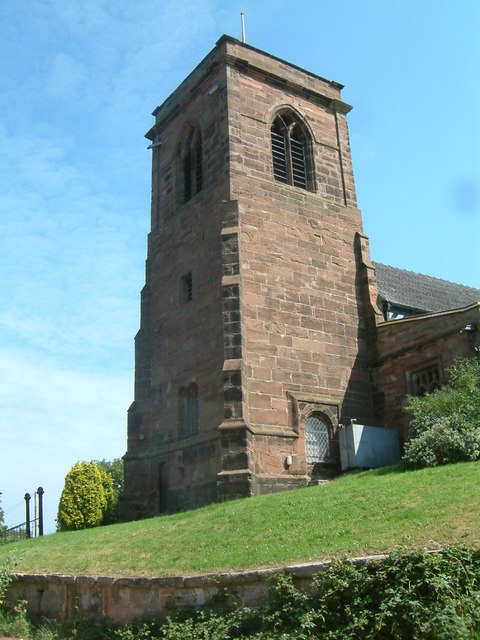
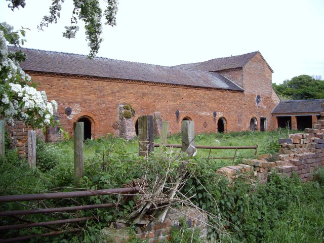
Balterley is rich in history, with evidence of settlements dating back to the Roman era. The village is home to several historic buildings, including Balterley Hall, a beautiful 18th-century manor house that has been converted into residential apartments. The local church, St. John the Baptist, is another notable landmark, with its distinctive architecture and historical significance.
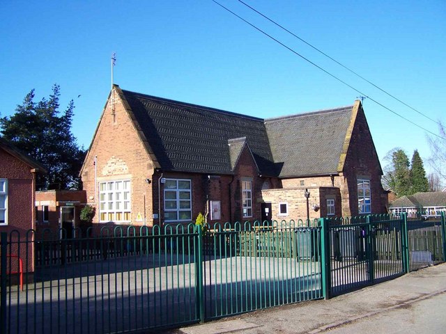
Despite its small size, the village offers a range of amenities for its residents. There is a local pub, The Balterley Arms, which provides a welcoming atmosphere and serves traditional pub food. Additionally, the village has a small primary school, serving the educational needs of the local children.
Overall, Balterley is a charming and tranquil village, perfect for those seeking a peaceful rural lifestyle. With its rich history, stunning natural surroundings, and sense of community, it is a hidden gem within the Staffordshire countryside.
If you have any feedback on the listing, please let us know in the comments section below.
Balterley Images
Images are sourced within 2km of 53.049646/-2.355489 or Grid Reference SJ7650. Thanks to Geograph Open Source API. All images are credited.


Balterley is located at Grid Ref: SJ7650 (Lat: 53.049646, Lng: -2.355489)
Administrative County: Staffordshire
District: Newcastle-under-Lyme
Police Authority: Staffordshire
What 3 Words
///scope.correct.plodding. Near Betley, Staffordshire
Nearby Locations
Related Wikis

Balterley
Balterley is a village and civil parish in the borough of Newcastle-under-Lyme in Staffordshire, England. According to the 2001 census it had a population...
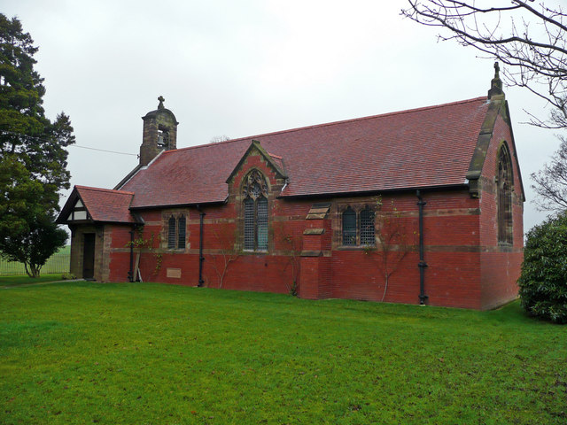
All Saints Church, Balterley
All Saints Church is in the village of Balterley, Staffordshire, England. It is an active Anglican parish church in the deanery of Congleton, the archdeaconry...
Balterley Green
Balterley Green is a village in Staffordshire, England. The population at the 2011 population can be found under Balterley
Englesea Brook Chapel and Museum
Englesea Brook Chapel and Museum is in the village of Englesea-Brook, Cheshire, England. Built in 1828, the chapel was one of the earliest chapels of...

Black Firs and Cranberry Bog
Black Firs and Cranberry Bog is a nature reserve of the Staffordshire Wildlife Trust, adjacent to Balterley Heath and about 1 mile (1.6 km) north of the...

Balterley Heath
Balterley Heath is a village in the traditional county of Cheshire, England. It is now part of Balterley in the administrative county of Staffordshire...
Englesea-Brook
Englesea-Brook is a small rural village in the unitary authority of Cheshire East and the ceremonial county of Cheshire, England. Located close to Crewe...

Betley
Betley is a village and civil parish in the borough of Newcastle-under-Lyme in Staffordshire, England, about halfway between the town of Newcastle-under...
Related Videos

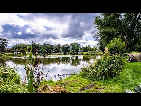
Fishery - Border Fisheries with Andy May
This episode sees Andy May checking out the fishing on offer at Cheshire's stunning, Bay Malton Angling Club's, Border Fisheries.
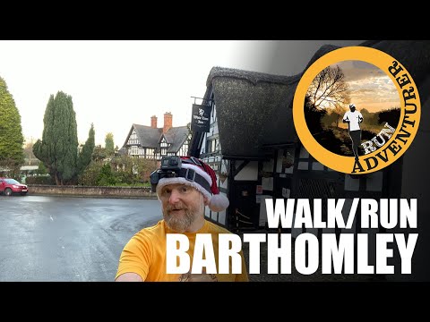
Walk/Run Barthomley - 3.5 Mile Circular Pub Walk in South Cheshire
Today's run was the best kind, it started and ended at a pub. We're in Barthomley a small village between Alsager and Crewe in ...

Betley Bonfire 2021
The background songs are not my own music as they are played by hit mix radio who have a music permit. Please like and ...
Nearby Amenities
Located within 500m of 53.049646,-2.355489Have you been to Balterley?
Leave your review of Balterley below (or comments, questions and feedback).