Àrd Skinid
Hill, Mountain in Sutherland
Scotland
Àrd Skinid
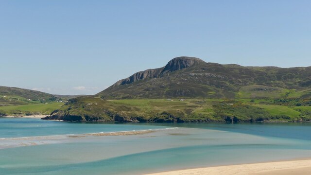
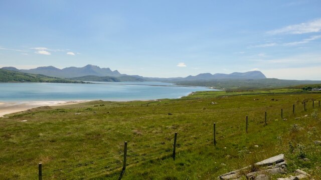
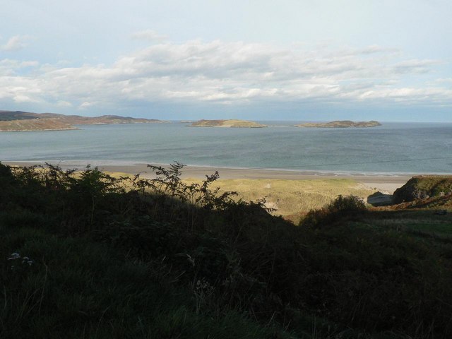
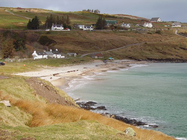
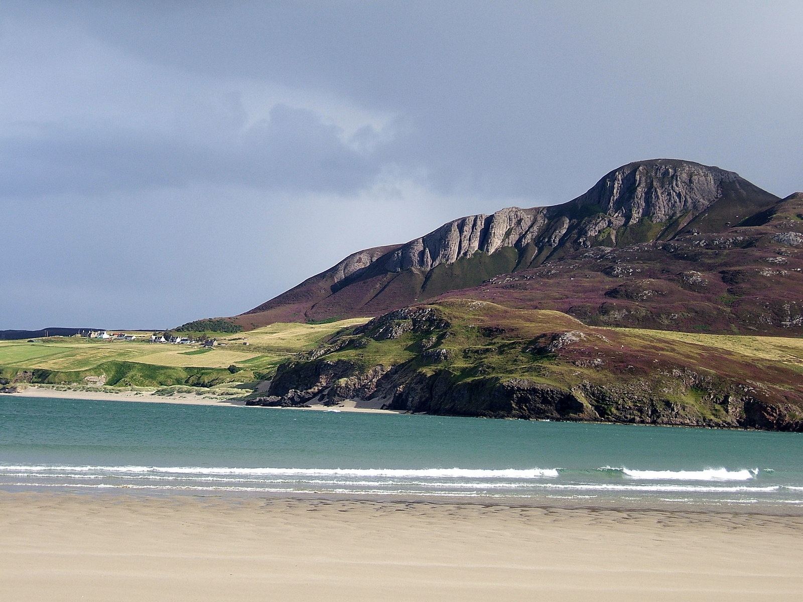
Àrd Skinid is a prominent hill located in the county of Sutherland, in the northern part of Scotland. Standing at an elevation of approximately 376 meters (1,234 feet), it offers breathtaking views of the surrounding landscape. The hill is situated near the village of Bonar Bridge and lies within the Highland council area.
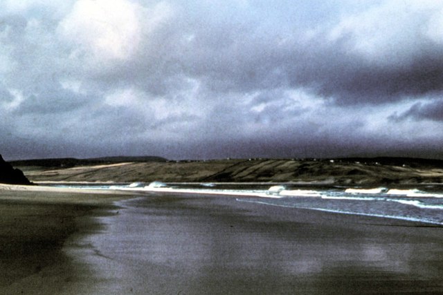
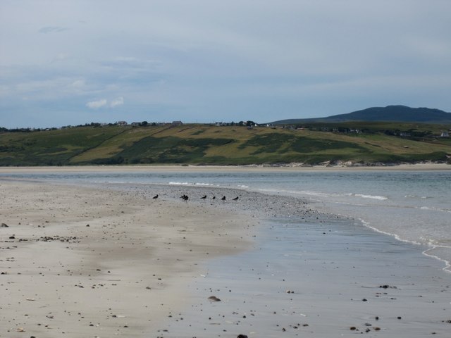
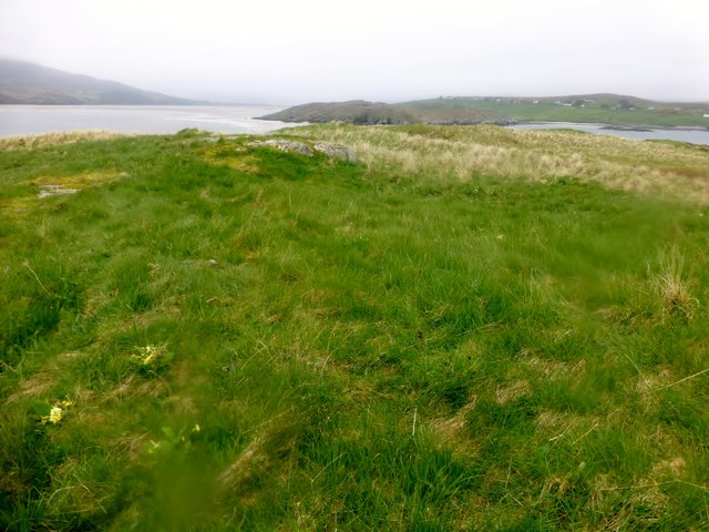
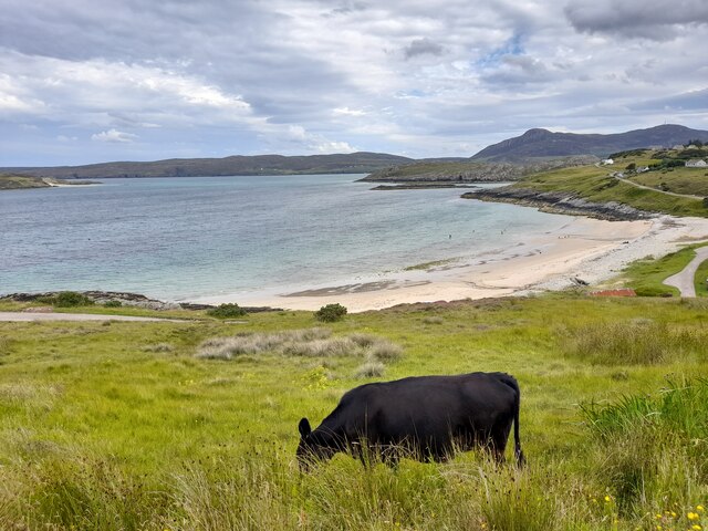
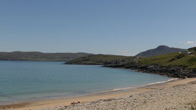
Covered in heather and grass, Àrd Skinid boasts a picturesque and rugged terrain, attracting both locals and tourists alike. Its distinctive shape and location make it a popular destination for hillwalkers and hikers looking to explore the Scottish Highlands. The hill is easily accessible by foot, with various walking routes available to suit different levels of fitness and experience.
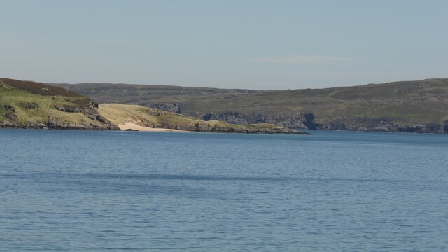
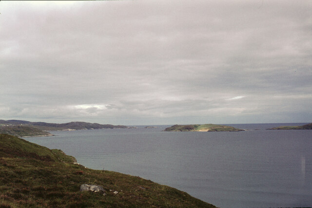
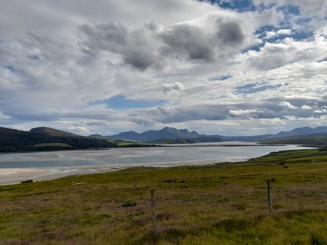
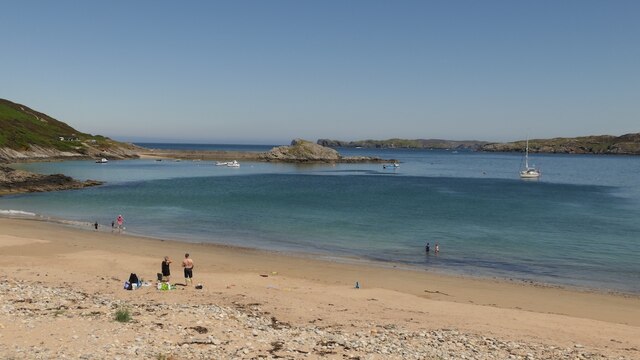
At the summit of Àrd Skinid, visitors can enjoy panoramic views of the Kyle of Sutherland, a narrow sea inlet, as well as the surrounding mountains and valleys. On clear days, it is even possible to see as far as the distant peaks of the Ben Wyvis range and the Fannichs. The hill also offers opportunities for wildlife spotting, with several species of birds, such as golden eagles and peregrine falcons, known to frequent the area.
Àrd Skinid is not only a natural landmark but also holds historical significance. There are remnants of an ancient fort on its slopes, believed to have been built during the Iron Age. These archaeological remains add an extra layer of intrigue to the hill, attracting history enthusiasts and archaeology buffs.
Overall, Àrd Skinid is a captivating hill in Sutherland, Scotland, offering a blend of natural beauty, outdoor activities, and a glimpse into the region's rich history.
If you have any feedback on the listing, please let us know in the comments section below.
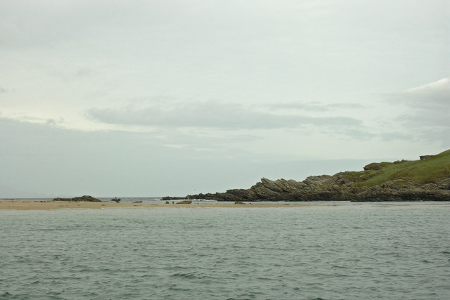
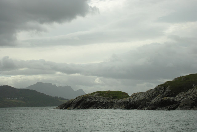
Àrd Skinid Images
Images are sourced within 2km of 58.523434/-4.4126235 or Grid Reference NC5962. Thanks to Geograph Open Source API. All images are credited.
Àrd Skinid is located at Grid Ref: NC5962 (Lat: 58.523434, Lng: -4.4126235)
Unitary Authority: Highland
Police Authority: Highlands and Islands
What 3 Words
///narrow.hype.annotated. Near Altnaharra, Highland
Nearby Locations
Related Wikis
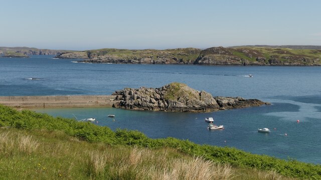
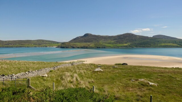
Tongue Bay
Tongue Bay (Scottish Gaelic: Tunga from Old Norse: Tunga) is located in northwest Highland, Scotland, in the western part of the former county of Sutherland...
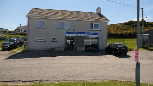
Talmine, Sutherland
Talmine is a crofting and fishing township, overlooking Talmine Bay, an inlet on the western shore of Tongue Bay in northern Sutherland, Scottish Highlands...

Melness
Melness (Gaelic: Taobh Mhealanais) is a locality, comprising a group of small remote crofting townships, lying to the west of Tongue Bay opposite Coldbackie...

Skullomie
Scullomie is a small fishing and crofting township at the head of Tongue Bay in Sutherland in the Scottish Highlands. It is located around 3 miles (4...

Coldbackie
Coldbackie (Scottish Gaelic: Callbacaidh) is a crofting township in Sutherland and is in the Scottish council area of Highland Scotland. == Geography... ==

Achnahuaigh
Achnahuaigh or Achinahuaigh (Scottish Gaelic: Achadh na h-Uamha) is a crofting hamlet and neighbourhood in the Melness area of Sutherland in the Highland...
Cnoc an Fhreiceadain
Cnoc an Fhreiceadain (Hill of Watching or Watch Hill) is a coastal mountain peak in northern Scotland. It is 307 metres (1,007 ft) high with commanding...
Midfield, Highland
Midfield is a remote hamlet on the north coast of Scotland in Sutherland in the Highland Council Area. It is a mile south of Tormade Point and just over...
Nearby Amenities
Located within 500m of 58.523434,-4.4126235Have you been to Àrd Skinid?
Leave your review of Àrd Skinid below (or comments, questions and feedback).