Mynydd Figyn
Hill, Mountain in Carmarthenshire
Wales
Mynydd Figyn
The requested URL returned error: 429 Too Many Requests
If you have any feedback on the listing, please let us know in the comments section below.
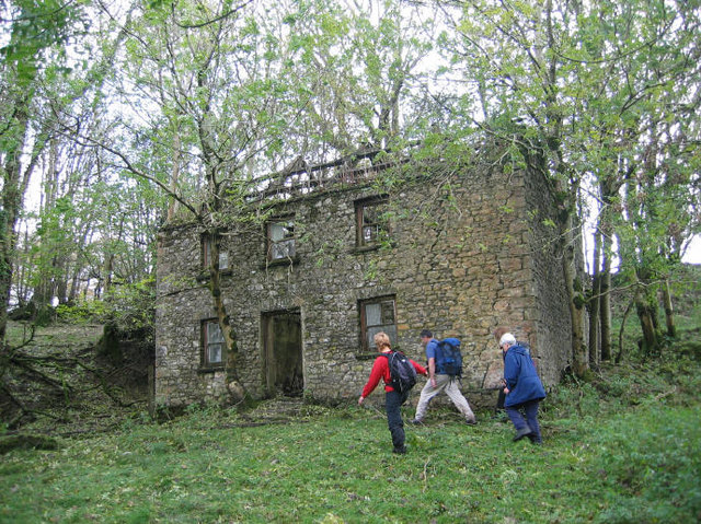
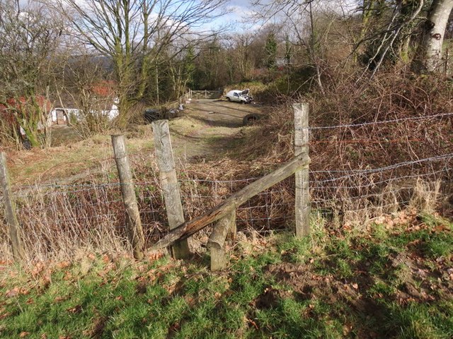
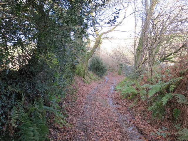
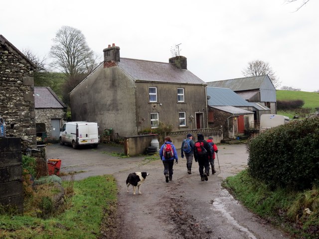
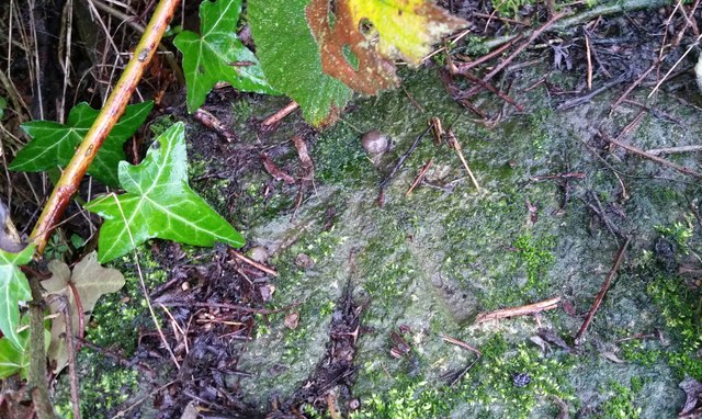
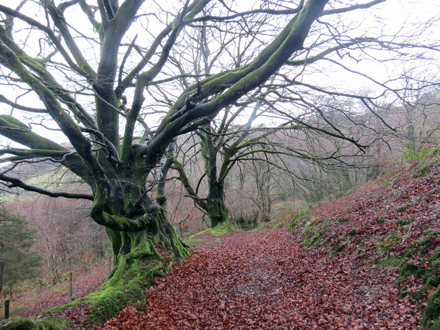
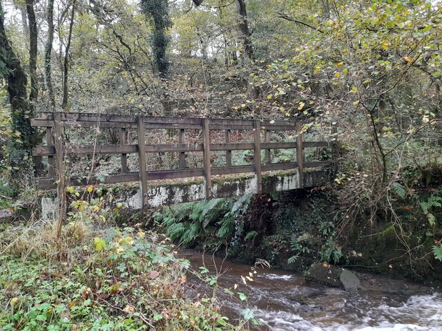
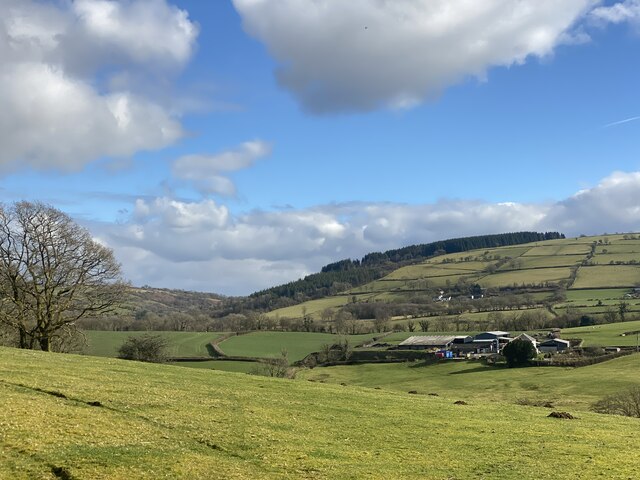
Mynydd Figyn Images
Images are sourced within 2km of 51.9577/-4.0447407 or Grid Reference SN5930. Thanks to Geograph Open Source API. All images are credited.


Mynydd Figyn is located at Grid Ref: SN5930 (Lat: 51.9577, Lng: -4.0447407)
Unitary Authority: Carmarthenshire
Police Authority: Dyfed Powys
What 3 Words
///slyly.unloaded.glow. Near Llansawel, Carmarthenshire
Nearby Locations
Related Wikis

Abergorlech
Abergorlech is a village 8 miles (13 km) to the north-west of Llandeilo in Carmarthenshire, Wales. It lies on the River Cothi on the B4310 road, between...
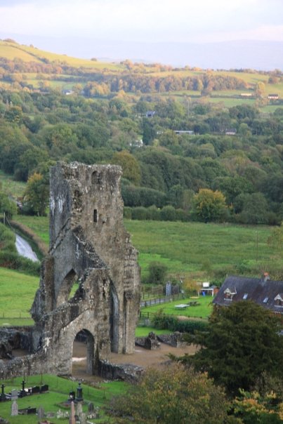
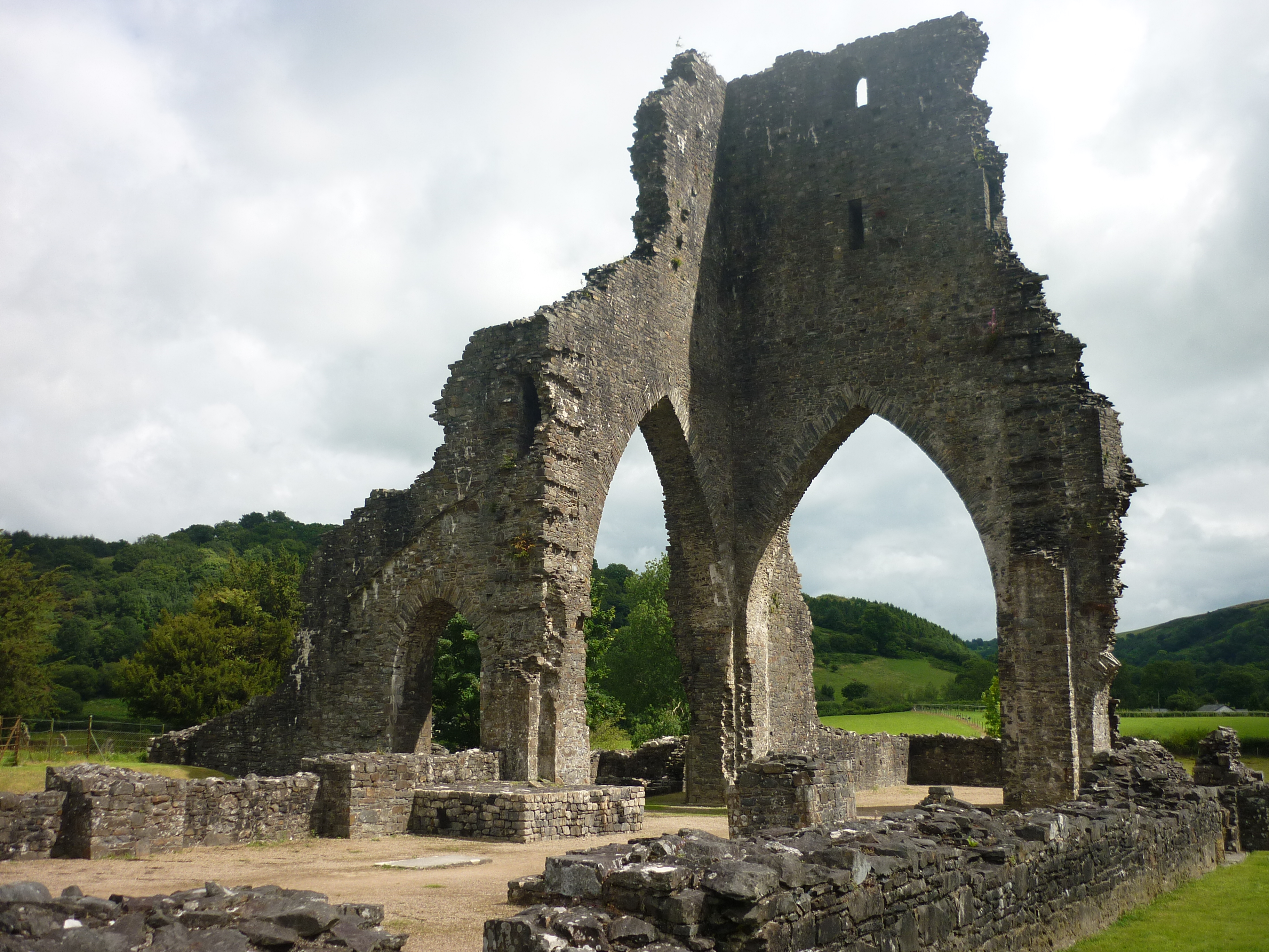
Talley Abbey
Talley Abbey (Welsh: Abaty Talyllychau) is a ruined former monastery of the Premonstratensians ("White Canons") in the village of Talley in Carmarthenshire...
Talley
Talley (Welsh: Talyllychau, historically Tal y Llychau) is a village and community in Carmarthenshire, Wales.The population taken at the 2011 census was...

Talley Lakes
Upper Talley Lake (Welsh: Llyn Talyllychau Uchaf) and Lower Talley Lake (Welsh: Llyn Talyllychau Isaf) are two small lakes immediately north of the village...
Nearby Amenities
Located within 500m of 51.9577,-4.0447407Have you been to Mynydd Figyn?
Leave your review of Mynydd Figyn below (or comments, questions and feedback).