Bàgh Thalmin Beag
Coastal Marsh, Saltings in Sutherland
Scotland
Bàgh Thalmin Beag
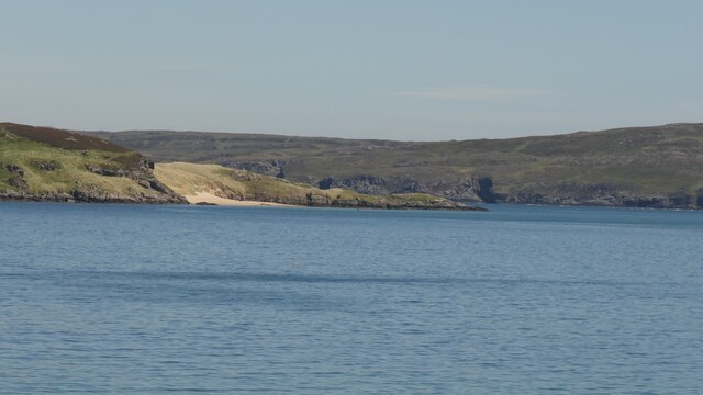
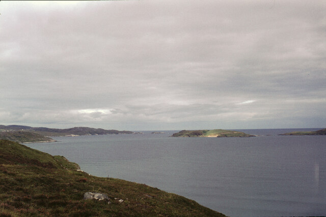
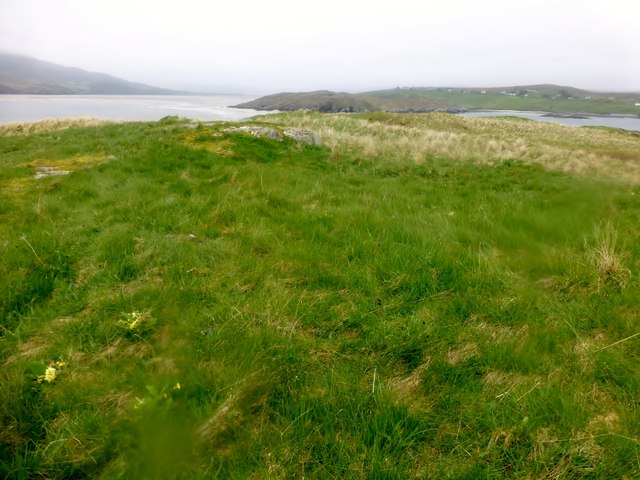
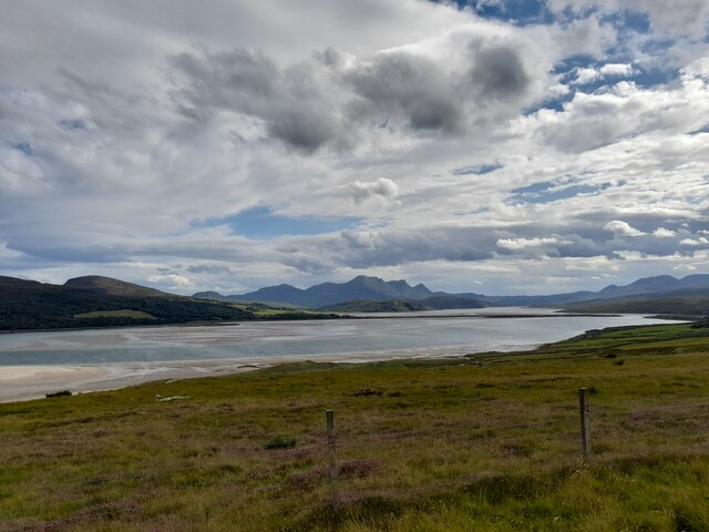
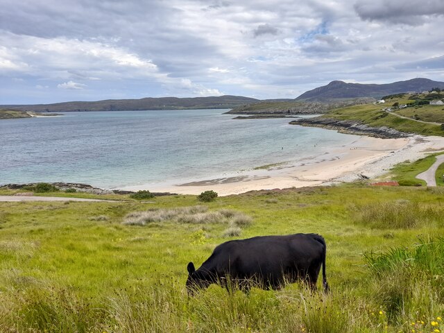
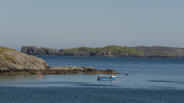
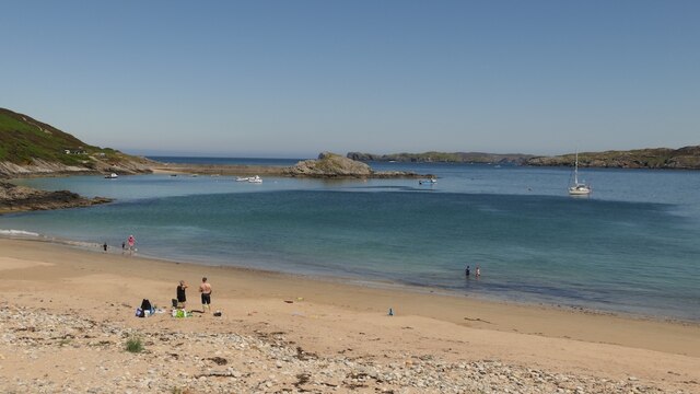
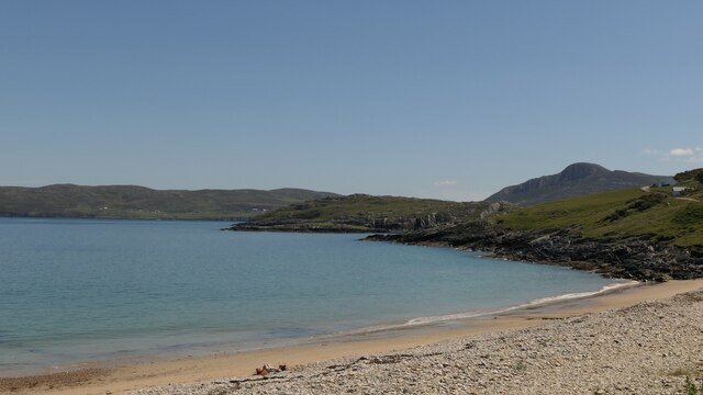
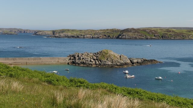
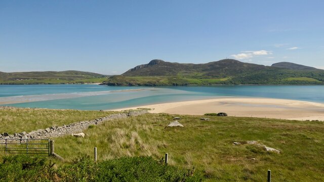
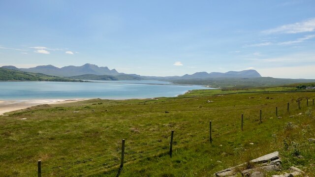
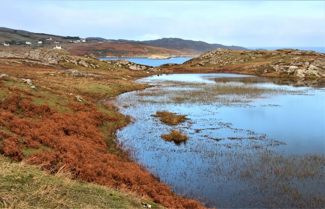
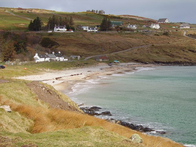
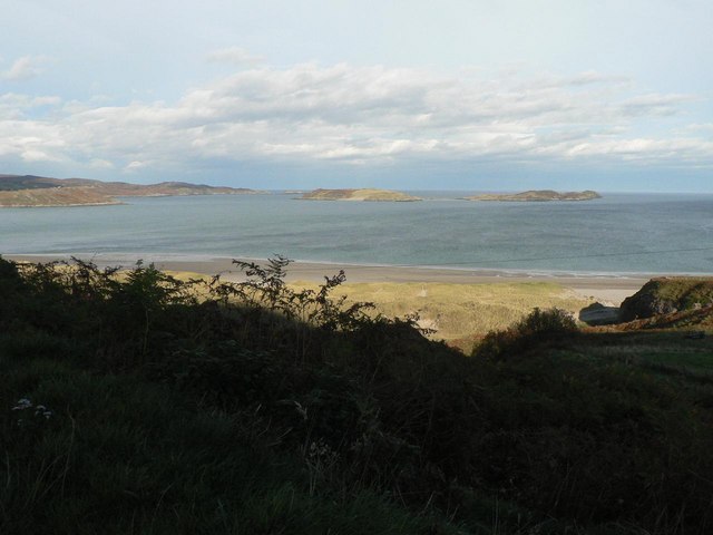
Bàgh Thalmin Beag, also known as the Coastal Marsh or Saltings, is a beautiful natural landscape located in Sutherland, Scotland. It is situated on the northern coast, facing the North Sea. The area is characterized by its vast marshland and saltings, which are salt marshes or tidal flats.
The marshland of Bàgh Thalmin Beag is a haven for a diverse range of plant and animal species. The low-lying wetland is rich in sedges, grasses, and various types of reeds that thrive in the brackish water. These plants provide important habitat and food sources for numerous bird species, such as waders and waterfowl, which can be observed throughout the year.
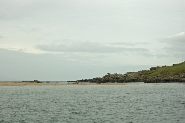
The tidal flats or saltings of Bàgh Thalmin Beag are formed by the ebb and flow of the tides. These flats are covered by a mixture of mud and sand, creating a unique habitat for marine invertebrates, including worms, crabs, and shellfish. This intertidal zone is also an important feeding ground for various bird species, as they can find an abundance of food in the shallow waters.
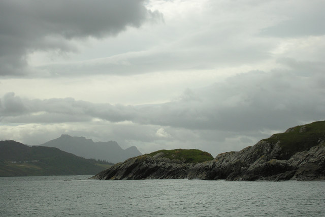
The Coastal Marsh offers breathtaking views of the surrounding coastline, with its rocky cliffs and sandy beaches. It is a popular destination for nature enthusiasts, birdwatchers, and photographers, who can enjoy the tranquility and natural beauty of the area.
Bàgh Thalmin Beag is not only a scenic location but also an essential ecosystem, providing a home for numerous species and contributing to the overall biodiversity of the region. It is a place where visitors can connect with nature and appreciate the wonders of the coastal wetlands.
If you have any feedback on the listing, please let us know in the comments section below.
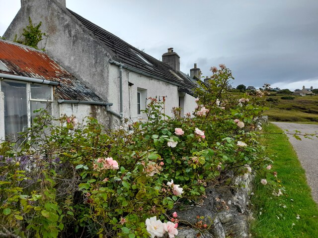
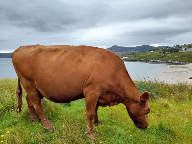
Bàgh Thalmin Beag Images
Images are sourced within 2km of 58.52579/-4.4201542 or Grid Reference NC5962. Thanks to Geograph Open Source API. All images are credited.
Bàgh Thalmin Beag is located at Grid Ref: NC5962 (Lat: 58.52579, Lng: -4.4201542)
Unitary Authority: Highland
Police Authority: Highlands and Islands
What 3 Words
///package.unfit.decrease. Near Altnaharra, Highland
Nearby Locations
Related Wikis
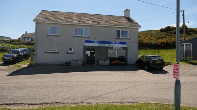
Talmine, Sutherland
Talmine is a crofting and fishing township, overlooking Talmine Bay, an inlet on the western shore of Tongue Bay in northern Sutherland, Scottish Highlands...
Tongue Bay
Tongue Bay (Scottish Gaelic: Tunga from Old Norse: Tunga) is located in northwest Highland, Scotland, in the western part of the former county of Sutherland...

Melness
Melness (Gaelic: Taobh Mhealanais) is a locality, comprising a group of small remote crofting townships, lying to the west of Tongue Bay opposite Coldbackie...

Achnahuaigh
Achnahuaigh or Achinahuaigh (Scottish Gaelic: Achadh na h-Uamha) is a crofting hamlet and neighbourhood in the Melness area of Sutherland in the Highland...
Nearby Amenities
Located within 500m of 58.52579,-4.4201542Have you been to Bàgh Thalmin Beag?
Leave your review of Bàgh Thalmin Beag below (or comments, questions and feedback).