Knocknide Hill
Hill, Mountain in Ayrshire
Scotland
Knocknide Hill
Knocknide Hill is a prominent geographical feature located in Ayrshire, Scotland. This hill is classified as a "Marilyn," which means it has a prominence of at least 150 meters (492 feet). Rising to a height of 288 meters (945 feet), it offers stunning panoramic views of the surrounding landscape.
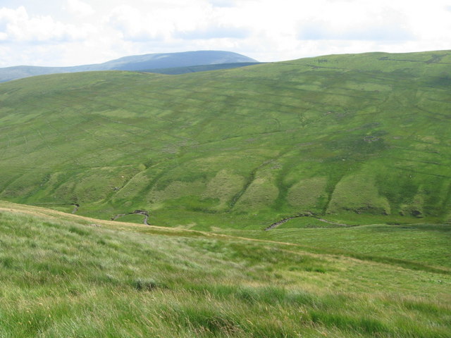
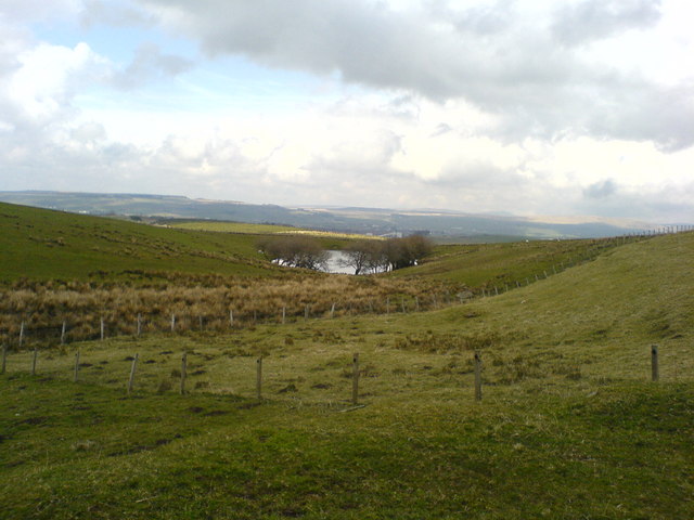
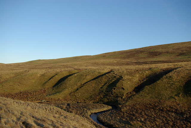
Situated near the village of Barr, Knocknide Hill is part of the Southern Uplands range, which stretches across the southern region of Scotland. The hill is characterized by its gently sloping sides and its rounded summit, making it a relatively easy climb for hikers and outdoor enthusiasts.
The landscape surrounding Knocknide Hill is diverse and picturesque. To the north, the hill overlooks the fertile valley of the River Stinchar, while to the south, the views extend across rolling hills and pastoral farmland. On clear days, it is even possible to catch a glimpse of the Ailsa Craig, a distinctive island located in the Firth of Clyde.
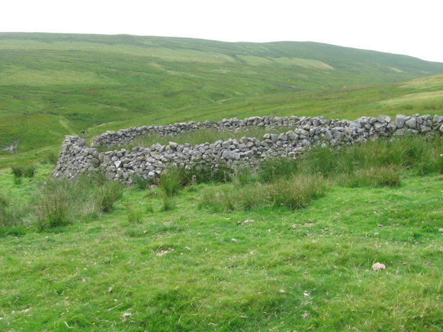
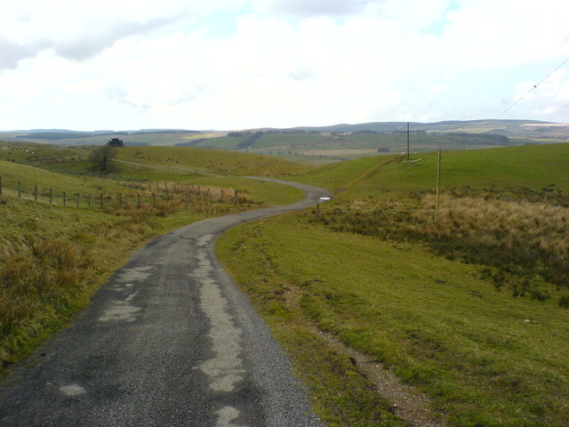
The hill is home to a variety of flora and fauna, including heather, gorse, and a range of bird species. Its accessible location and tranquil atmosphere make it a popular destination for walkers and nature lovers. There are well-defined paths leading to the summit, making it an ideal spot for both leisurely strolls and more challenging hikes.
Overall, Knocknide Hill in Ayrshire offers visitors the opportunity to experience the natural beauty of the Scottish countryside while enjoying breathtaking views of the surrounding area.
If you have any feedback on the listing, please let us know in the comments section below.
Knocknide Hill Images
Images are sourced within 2km of 55.36161/-4.2167395 or Grid Reference NS5909. Thanks to Geograph Open Source API. All images are credited.


Knocknide Hill is located at Grid Ref: NS5909 (Lat: 55.36161, Lng: -4.2167395)
Unitary Authority: East Ayrshire
Police Authority: Ayrshire
What 3 Words
///reshape.foggy.organ. Near New Cumnock, East Ayrshire
Nearby Locations
Related Wikis

Knockshinnoch disaster
The Knockshinnoch disaster was a mining accident that occurred in September 1950 in the village of New Cumnock, Ayrshire, Scotland. A glaciated lake filled...

New Cumnock Town Hall
New Cumnock Town Hall is a municipal building in Castle, New Cumnock, East Ayrshire, Scotland. The structure, which is used as a community events venue...

Connel Burn
Connel Burn is a river in East Ayrshire, Scotland, which rises at Enoch Hill in the Southern Uplands and flows northwards through Laglaf and Connel Park...

New Cumnock
New Cumnock is a village in East Ayrshire, Scotland. It expanded during the coal-mining era from the late 18th century, and mining remained its key industry...
Have you been to Knocknide Hill?
Leave your review of Knocknide Hill below (or comments, questions and feedback).