Bar Hill
Hill, Mountain in Kirkcudbrightshire
Scotland
Bar Hill
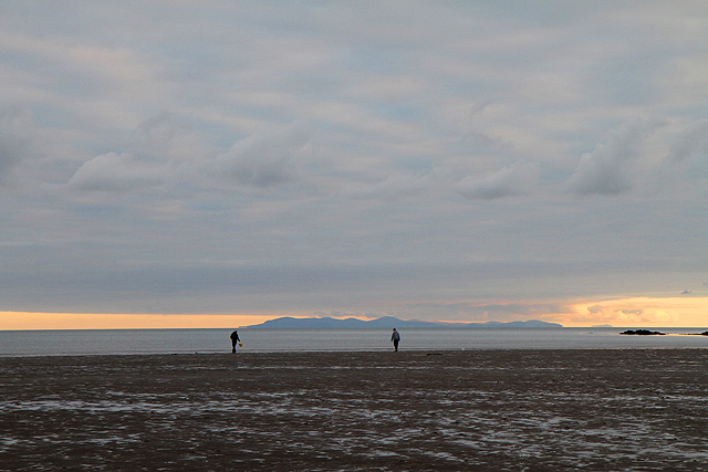
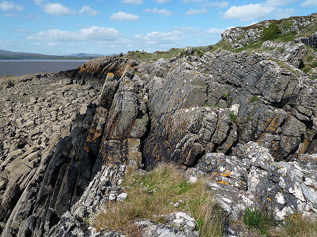
Bar Hill, located in Kirkcudbrightshire, is a prominent hill and a notable landmark in the region. Rising to an elevation of approximately 300 meters (984 feet), this hill offers picturesque views of the surrounding countryside and is a popular destination for hikers and nature enthusiasts.
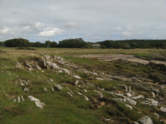
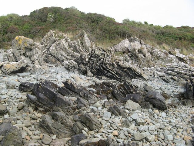
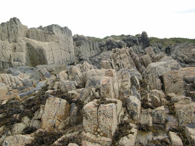
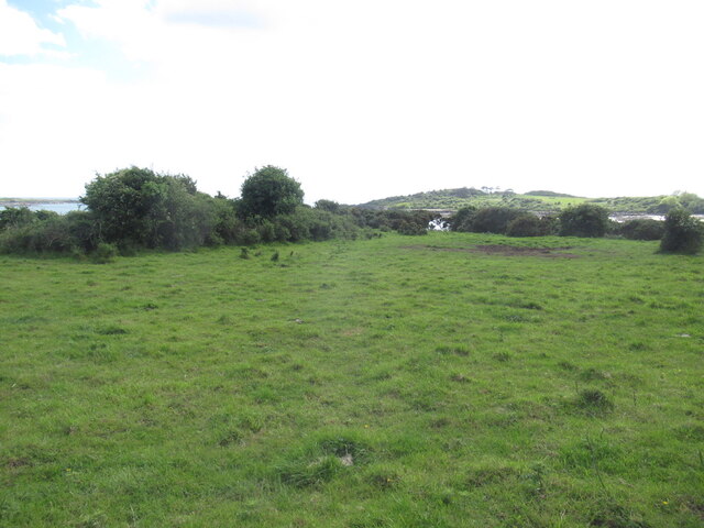
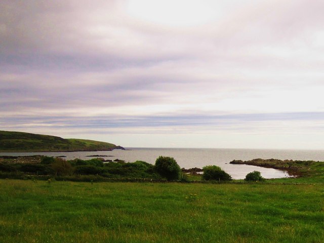
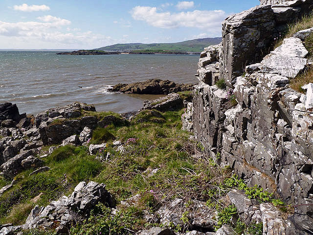
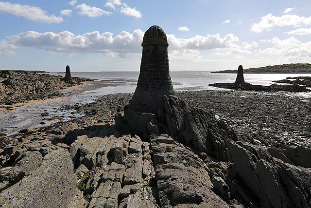
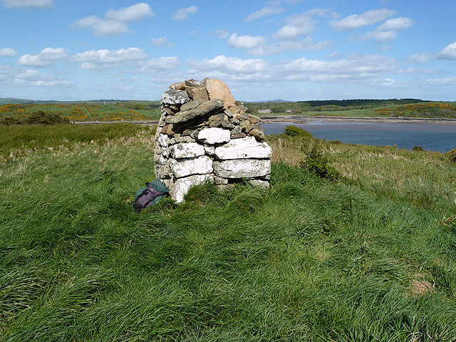
Situated near the village of Gatehouse of Fleet, Bar Hill is easily accessible, making it an ideal spot for outdoor activities. The hill is covered in lush green vegetation, with a variety of plant species and wildlife inhabiting its slopes. It is particularly known for its diverse bird population, attracting birdwatchers from far and wide.
The ascent to the top of Bar Hill is moderately challenging, with a well-marked trail leading to the summit. Along the way, visitors can enjoy the tranquil ambiance of the countryside, as well as the breathtaking vistas of the Galloway Forest Park and the Solway Firth.
At the summit of Bar Hill, on a clear day, one can marvel at panoramic views that stretch for miles, encompassing the rolling hills, farmland, and glimpses of the nearby coastline. The hill offers a sense of tranquility and serenity, providing an escape from the hustle and bustle of everyday life.
Overall, Bar Hill in Kirkcudbrightshire is a natural gem, offering a combination of natural beauty, recreational opportunities, and stunning views. Whether one seeks adventure or simply desires a peaceful retreat in nature, Bar Hill is a destination that caters to all.
If you have any feedback on the listing, please let us know in the comments section below.
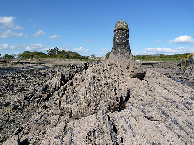
Bar Hill Images
Images are sourced within 2km of 54.817075/-4.2055903 or Grid Reference NX5849. Thanks to Geograph Open Source API. All images are credited.

Bar Hill is located at Grid Ref: NX5849 (Lat: 54.817075, Lng: -4.2055903)
Unitary Authority: Dumfries and Galloway
Police Authority: Dumfries and Galloway
What 3 Words
///drags.shops.amount. Near Kirkcudbright, Dumfries & Galloway
Nearby Locations
Related Wikis

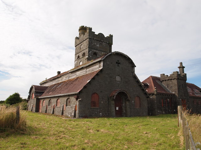
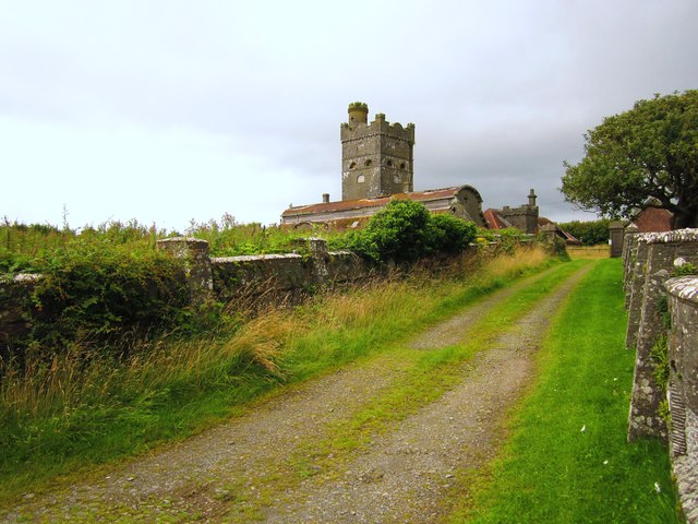
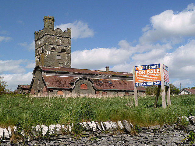
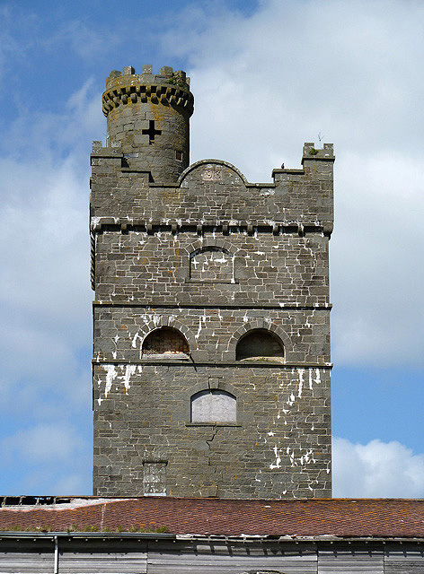
Corseyard Farm
Corseyard Farm, known locally as the Coo Palace and now marketed under that name, is an architecturally unusual dairy farm near Kirkandrews in Scotland...

Kirkandrews, Dumfries and Galloway
Kirkandrews, sometimes written as Kirkanders in older documents, is a coastal hamlet about 9 kilometres (6 mi) west-southwest of Kirkcudbright in Dumfries...

Islands of Fleet
The Islands of Fleet are a group of small islands in Galloway, Scotland. They are in Fleet Bay, which is part of Wigtown Bay, and is in turn part of the...

Plunton Castle
Plunton Castle is a ruined L-plan tower house between Kirkandrews and Gatehouse of Fleet in Dumfries and Galloway, Scotland. Built around 1575 for the...
Nearby Amenities
Located within 500m of 54.817075,-4.2055903Have you been to Bar Hill?
Leave your review of Bar Hill below (or comments, questions and feedback).