Knockbrex Bay
Bay in Kirkcudbrightshire
Scotland
Knockbrex Bay
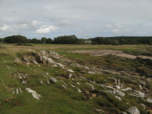
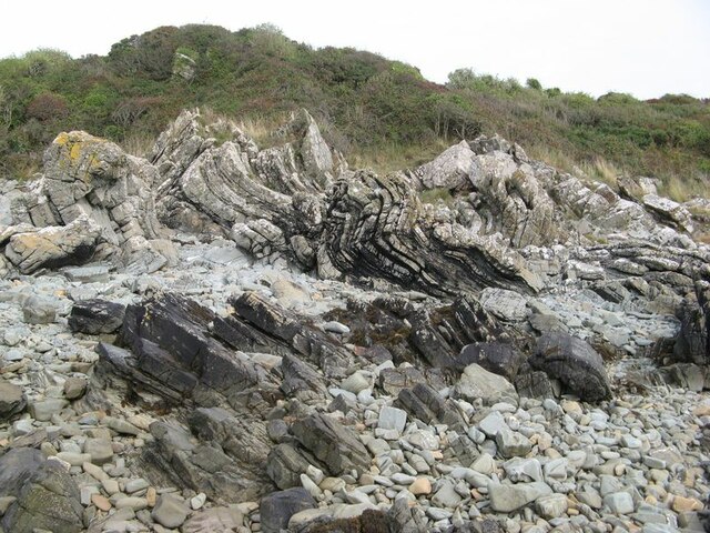
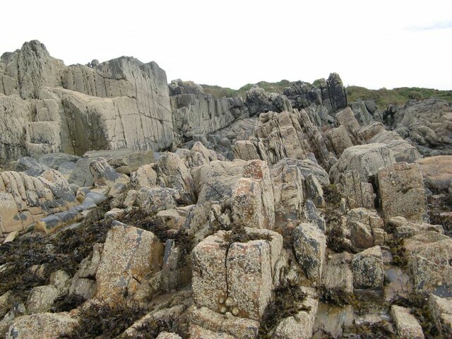
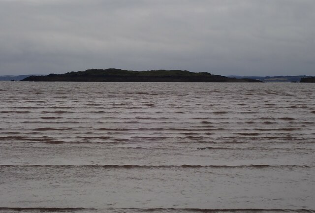
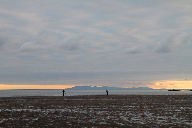
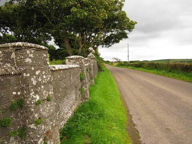
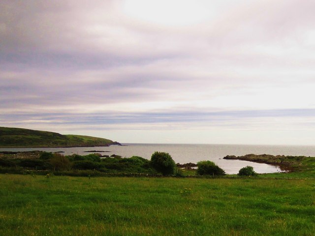
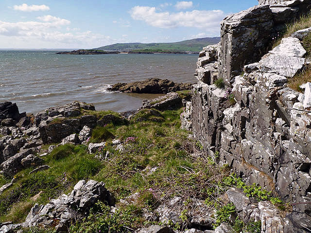
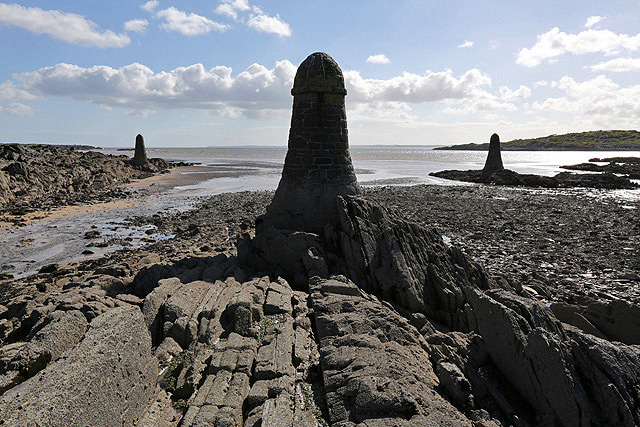
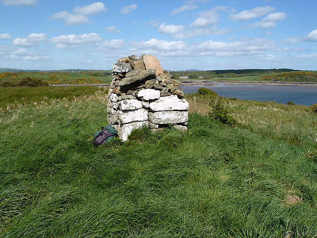
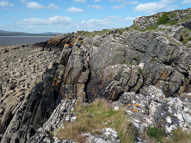
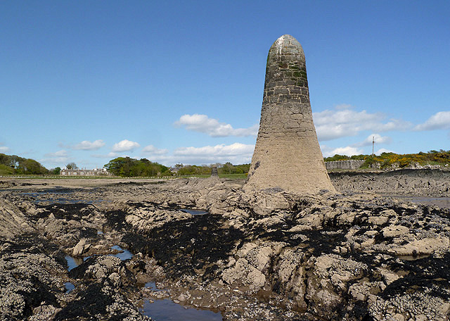
Knockbrex Bay is a picturesque bay located in the region of Kirkcudbrightshire in southwestern Scotland. Situated on the Solway Firth, it offers stunning views of the Irish Sea and the surrounding countryside. The bay is known for its natural beauty, with its pristine sandy beach, rocky outcrops, and calm, clear waters.
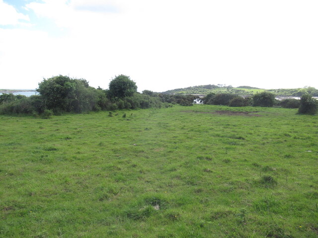
The bay is nestled within a tranquil and secluded area, providing a peaceful retreat for visitors. Its unspoiled landscape and uncommercialized atmosphere make it a popular destination for those seeking a quiet and idyllic coastal experience. The bay is also a haven for wildlife, with various seabirds and marine species frequently spotted in the area.
Knockbrex Bay is easily accessible by car, with a small parking area available for visitors. From there, a short walk down to the beach offers breathtaking panoramic views of the bay and its surroundings. The bay is also a great spot for outdoor activities such as swimming, fishing, and beachcombing.
In addition to its natural beauty, Knockbrex Bay is close to other attractions in the area. The charming town of Kirkcudbright, known for its artistic heritage and historic architecture, is just a short drive away. Visitors can explore art galleries, museums, and enjoy the local cuisine in the town.
Overall, Knockbrex Bay is a hidden gem on the Scottish coast, offering a peaceful and scenic escape for nature lovers and those seeking a tranquil beach experience.
If you have any feedback on the listing, please let us know in the comments section below.
Knockbrex Bay Images
Images are sourced within 2km of 54.820113/-4.2090716 or Grid Reference NX5849. Thanks to Geograph Open Source API. All images are credited.

Knockbrex Bay is located at Grid Ref: NX5849 (Lat: 54.820113, Lng: -4.2090716)
Unitary Authority: Dumfries and Galloway
Police Authority: Dumfries and Galloway
What 3 Words
///chiefs.shows.rewarded. Near Kirkcudbright, Dumfries & Galloway
Nearby Locations
Related Wikis

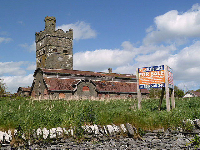
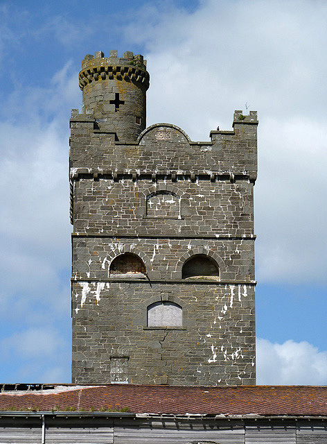
Corseyard Farm
Corseyard Farm, known locally as the Coo Palace and now marketed under that name, is an architecturally unusual dairy farm near Kirkandrews in Scotland...

Islands of Fleet
The Islands of Fleet are a group of small islands in Galloway, Scotland. They are in Fleet Bay, which is part of Wigtown Bay, and is in turn part of the...

Kirkandrews, Dumfries and Galloway
Kirkandrews, sometimes written as Kirkanders in older documents, is a coastal hamlet about 9 kilometres (6 mi) west-southwest of Kirkcudbright in Dumfries...

Plunton Castle
Plunton Castle is a ruined L-plan tower house between Kirkandrews and Gatehouse of Fleet in Dumfries and Galloway, Scotland. Built around 1575 for the...

Water of Fleet
The Water of Fleet is a river in Scotland flowing into Fleet Bay on the Solway Firth. Its two tributaries are the Big Water of Fleet, which begins around...

Girthon Old Parish Church
Girthon Old Parish Church is a ruined ecclesiastical building in Girthon, near Gatehouse of Fleet in Dumfries and Galloway. Built around 1620 on the foundations...

Borgue, Dumfries and Galloway
Borgue (pronounced /ˈbɔrɡ/; Scottish Gaelic: Borgh) is a village and parish in the Stewartry of Kirkcudbright in Dumfries and Galloway, Scotland. It lies...

Ardwall House
Ardwall House is an eighteenth-century mansion near Gatehouse of Fleet in Dumfries and Galloway, Scotland. Built in 1762 for the McCullochs of Ardwall...
Nearby Amenities
Located within 500m of 54.820113,-4.2090716Have you been to Knockbrex Bay?
Leave your review of Knockbrex Bay below (or comments, questions and feedback).