Ynys Llanfihangel-y-traethau
Hill, Mountain in Merionethshire
Wales
Ynys Llanfihangel-y-traethau
Ynys Llanfihangel-y-traethau is a hill located in Merionethshire, Wales. It is situated near the village of Llanfihangel-y-traethau and overlooks the surrounding countryside and coast. The hill is part of the Snowdonia National Park, known for its stunning natural beauty and diverse wildlife.
Ynys Llanfihangel-y-traethau is a popular destination for hikers and nature enthusiasts, offering panoramic views of the Welsh coastline and rolling hills. The hill is covered in lush green vegetation, including grasses, heather, and wildflowers, creating a picturesque landscape for visitors to enjoy.
At the summit of Ynys Llanfihangel-y-traethau, there is a trig point and a bench where hikers can rest and take in the stunning views. On a clear day, it is possible to see as far as the Irish Sea and the mountains of Snowdonia National Park.
Overall, Ynys Llanfihangel-y-traethau is a beautiful and tranquil spot in Merionethshire, offering visitors the chance to immerse themselves in the natural beauty of Wales.
If you have any feedback on the listing, please let us know in the comments section below.
Ynys Llanfihangel-y-traethau Images
Images are sourced within 2km of 52.890906/-4.1062265 or Grid Reference SH5834. Thanks to Geograph Open Source API. All images are credited.


Ynys Llanfihangel-y-traethau is located at Grid Ref: SH5834 (Lat: 52.890906, Lng: -4.1062265)
Unitary Authority: Gwynedd
Police Authority: North Wales
What 3 Words
///volunteered.vineyard.forgives. Near Harlech, Gwynedd
Nearby Locations
Related Wikis

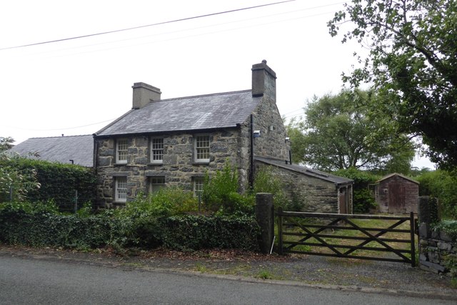
Llanfihangel-y-traethau
Llanfihangel-y-traethau ("St. Michael's on the Beaches") was a parish in Ardudwy, Gwynedd, north-west Wales centred on a church of the same name in the...

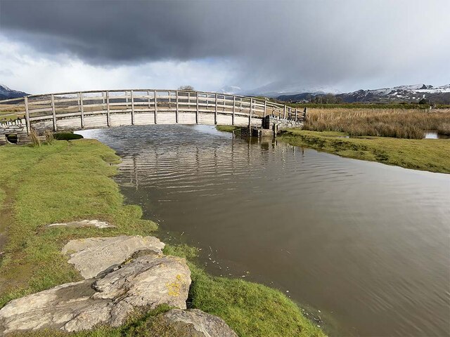
Morfa Harlech National Nature Reserve
Morfa Harlech National Nature Reserve (grid reference SH571337) is a nature reserve in Wales, located north of Harlech. The reserve reaches across expanses...

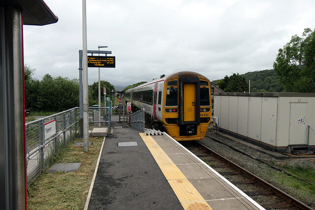
Tygwyn railway station
Tygwyn railway station is located at a level crossing on the A496 between Harlech and Talsarnau near the estuary of the Afon Dwyryd in Gwynedd, Wales....

Ellis Wynne
Ellis Wynne (7 March 1671 – 13 July 1734) was a Welsh clergyman and author. He is remembered mainly for one of the most important and influential pieces...
Nearby Amenities
Located within 500m of 52.890906,-4.1062265Have you been to Ynys Llanfihangel-y-traethau?
Leave your review of Ynys Llanfihangel-y-traethau below (or comments, questions and feedback).