Drumduff Hill
Hill, Mountain in Renfrewshire
Scotland
Drumduff Hill
Drumduff Hill is a prominent hill located in Renfrewshire, Scotland. It is situated approximately 15 miles southwest of Glasgow and can be seen from various vantage points across the surrounding area. With an elevation of approximately 656 feet (200 meters), it is considered a notable landmark in the region.
The hill is part of the larger Clyde Muirshiel Regional Park, which covers an area of over 100 square miles and encompasses several hills, lochs, and forests. Drumduff Hill offers stunning panoramic views of the surrounding countryside, including the nearby towns of Paisley and Johnstone. On clear days, it is even possible to catch a glimpse of the distant hills of the Trossachs National Park.
Drumduff Hill is a popular destination for outdoor enthusiasts and nature lovers. It is crisscrossed by a network of walking paths and trails, allowing visitors to explore its slopes and enjoy the picturesque scenery. The hill is covered in heather and grass, providing a habitat for a variety of wildlife, including birds, rabbits, and deer.
The hill also holds historical significance, as evidence of prehistoric settlements has been discovered in the area. Archaeological sites, such as ancient burial mounds and stone circles, hint at the hill's long-standing importance to the local community.
Overall, Drumduff Hill offers a tranquil escape from urban life, providing visitors with the opportunity to immerse themselves in nature, enjoy breathtaking views, and delve into the rich history of the region.
If you have any feedback on the listing, please let us know in the comments section below.
Drumduff Hill Images
Images are sourced within 2km of 55.68948/-4.2540055 or Grid Reference NS5846. Thanks to Geograph Open Source API. All images are credited.


Drumduff Hill is located at Grid Ref: NS5846 (Lat: 55.68948, Lng: -4.2540055)
Unitary Authority: East Renfrewshire
Police Authority: Greater Glasgow
What 3 Words
///grub.whom.distract. Near Eaglesham, East Renfrewshire
Nearby Locations
Related Wikis

Corse Hill
Corse Hill is a hill located between East Renfrewshire and South Lanarkshire of Scotland. With a height of 376 m (1,234 ft), it is the highest point in...

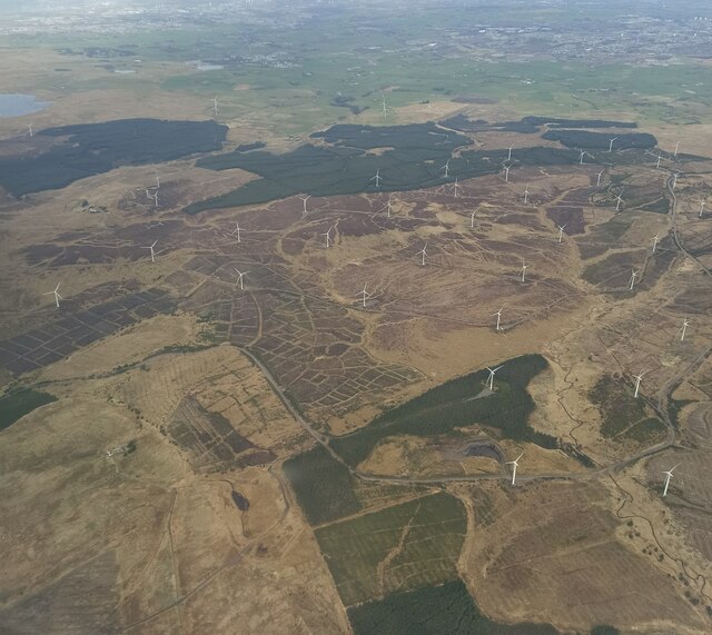
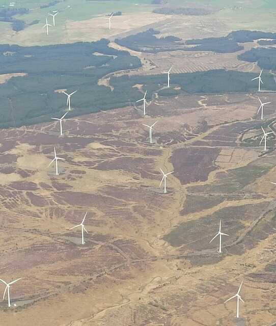
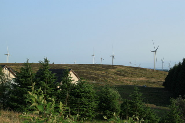
Whitelee Wind Farm
Whitelee Wind Farm is a windfarm on the Eaglesham moor in Scotland. The main visitor centre is located in East Renfrewshire, but the majority of turbines...

Millhall
Millhall is a hamlet in East Renfrewshire, in the Central Lowlands of Scotland. It lies 0.8 miles (1.3 km) southeast of Eaglesham, 8.3 miles (13.4 km)...
Auldhouse, South Lanarkshire
Auldhouse is a hamlet in South Lanarkshire, around 0.5 miles (0.80 km) to the south of the suburban edge of East Kilbride. == History == The first mention...
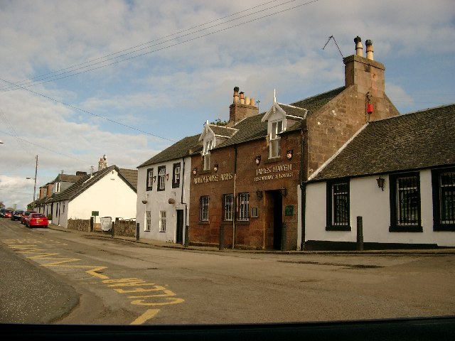
Eaglesham
Eaglesham ( EE-gəl-səm) is a village in East Renfrewshire, Scotland, situated about 10 miles (16 km) south of Glasgow, 3 miles (5 km) southeast of Newton...

Lindsayfield
Lindsayfield is a residential area in the new town of East Kilbride, Scotland. The modern estate was constructed from the 1990s onwards. == Overview... ==

East Kilbride (district)
East Kilbride (Scottish Gaelic: Cille Bhrìghde an Ear, Scots: East Kirkbride) was a local government district in the Strathclyde region of Scotland from...
Jackton
Jackton is a small village lying just on the western periphery of East Kilbride in South Lanarkshire, on the B764 road (otherwise known as the 'Eaglesham...
Nearby Amenities
Located within 500m of 55.68948,-4.2540055Have you been to Drumduff Hill?
Leave your review of Drumduff Hill below (or comments, questions and feedback).