Barcoed Hill
Hill, Mountain in Ayrshire
Scotland
Barcoed Hill
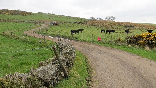
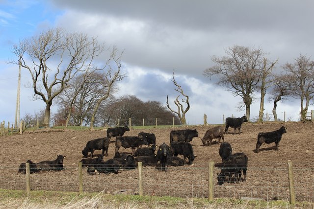
Barcoed Hill is a prominent landmark located in Ayrshire, Scotland. It is classified as a hill rather than a mountain, with an elevation of approximately 240 meters (790 feet). The hill is situated in a rural area, surrounded by fields and farmland, offering breathtaking panoramic views of the surrounding countryside.
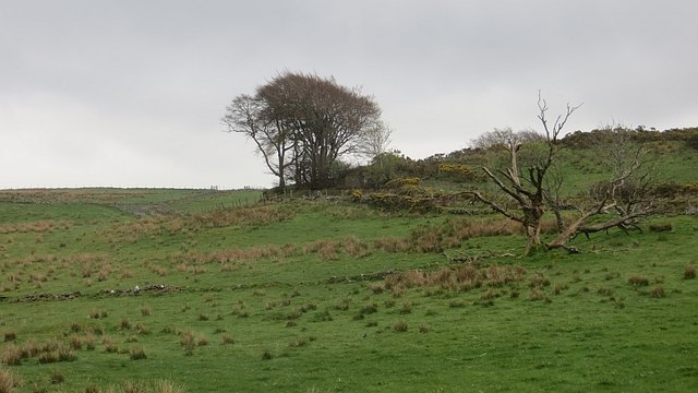
The terrain of Barcoed Hill is characterized by gently rolling slopes, covered with lush green vegetation, including grasses, heather, and scattered shrubs. The hill is predominantly composed of sedimentary rocks, with occasional outcrops adding to its natural beauty.
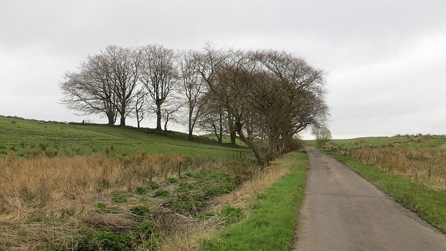
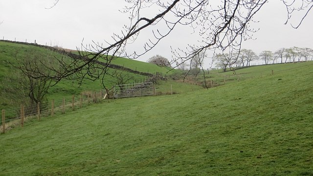
Access to Barcoed Hill is relatively easy, with several footpaths and trails leading to its summit. These paths are well-maintained and suitable for both walkers and hikers. The ascent is not overly challenging, making it accessible to people of various fitness levels.
At the top of Barcoed Hill, visitors are rewarded with stunning views of the Ayrshire landscape. On a clear day, one can see for miles around, taking in the rolling hills, distant mountains, and picturesque villages. The hilltop also provides an ideal vantage point for observing the local wildlife, including birds, rabbits, and occasional deer.
Barcoed Hill offers a tranquil and peaceful escape from the hustle and bustle of everyday life. It is a popular spot for locals and tourists alike, attracting outdoor enthusiasts, nature lovers, and those seeking a serene setting for a leisurely walk or a picnic.
If you have any feedback on the listing, please let us know in the comments section below.
Barcoed Hill Images
Images are sourced within 2km of 55.776162/-4.5662202 or Grid Reference NS3956. Thanks to Geograph Open Source API. All images are credited.


Barcoed Hill is located at Grid Ref: NS3956 (Lat: 55.776162, Lng: -4.5662202)
Unitary Authority: North Ayrshire
Police Authority: Ayrshire
What 3 Words
///sobs.mainly.moss. Near Howwood, Renfrewshire
Nearby Locations
Related Wikis
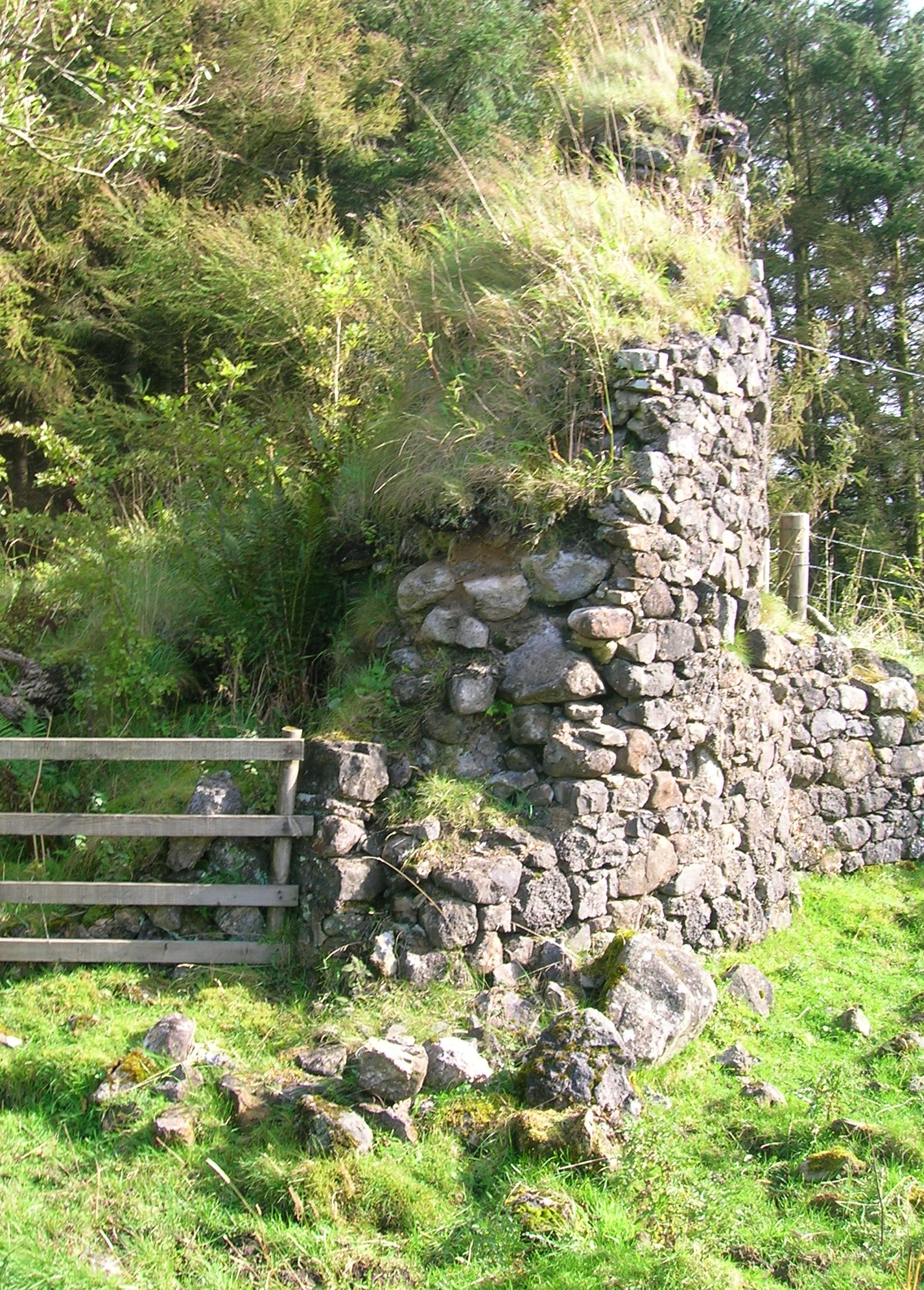
Auchenbathie Tower
Auchenbathie, Auchinbathie Tower or rarely Barcraigs Tower is a ruined fortification, a tower house, once held by the Wallace Clan of Elderslie, situated...
Lands of Threepwood
The lands of Threepwood were located in the Parish of Beith, at the eastern boundary between East Renfrewshire and North Ayrshire, Scotland. The settlements...

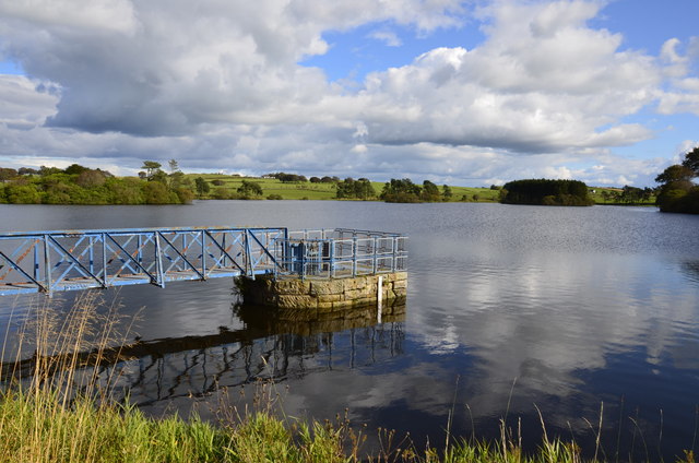
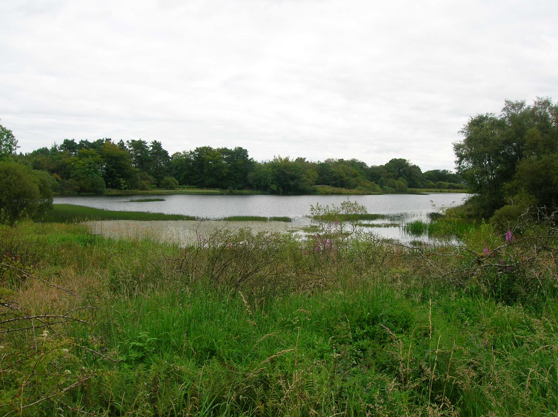
Lowes Loch (Ayrshire)
Lowes Loch, The Lochs (NS 37754 55688) or Loch of Hill is now a small natural freshwater loch in the North Ayrshire Council Areas (KA15 2JR), Scotland...

Lands of Brownmuir
The lands of Brownmuir, Brown Muir (1832) or Brimmer (1821) in Scots were located in the Parish of Beith, at the western boundary between East Renfrewshire...
Nearby Amenities
Located within 500m of 55.776162,-4.5662202Have you been to Barcoed Hill?
Leave your review of Barcoed Hill below (or comments, questions and feedback).