Allt Ddu

Hill, Mountain in Cardiganshire

Wales

Allt Ddu

Farmland near Blaencwrt Farmland near Blaencwrt, Capel Cynon.  Morning mist is hanging in the low-lying valley in the distance.
Farmland near Blaencwrt Credit: Philip Halling

Allt Ddu is a prominent hill located in Cardiganshire, a county in Wales, United Kingdom. It is situated in the southern part of the county, near the village of Pontrhydfendigaid. With an elevation of 601 meters (1,972 feet), it is classified as a mountain rather than a hill according to the criteria set by the British Mountaineering Council.

Allt Ddu is known for its distinctive shape and rugged terrain. The summit of the mountain offers breathtaking panoramic views of the surrounding countryside, including the Cambrian Mountains and the Teifi Valley. The area is rich in natural beauty, with heather-covered moorland, rocky outcrops, and scattered woodlands.

The mountain is a popular destination for outdoor enthusiasts, particularly hikers and hillwalkers. There are various routes to reach the summit, catering to different levels of experience and fitness. The most common starting point is the village of Pontrhydfendigaid, where there is ample parking and facilities.

Allt Ddu is also notable for its historical significance. The mountain is said to have been a site of ancient settlements and activity. Archaeological remains, such as burial cairns and stone circles, can be found in the vicinity, providing a glimpse into the area's past.

Overall, Allt Ddu offers a rewarding and challenging outdoor experience, combining stunning natural scenery with a touch of history. It is a must-visit destination for those seeking to explore the beauty of Cardiganshire's landscape.

If you have any feedback on the listing, please let us know in the comments section below.
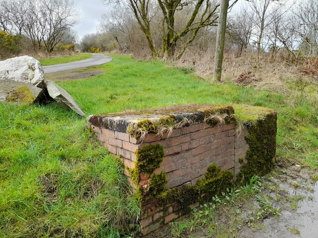
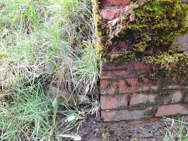
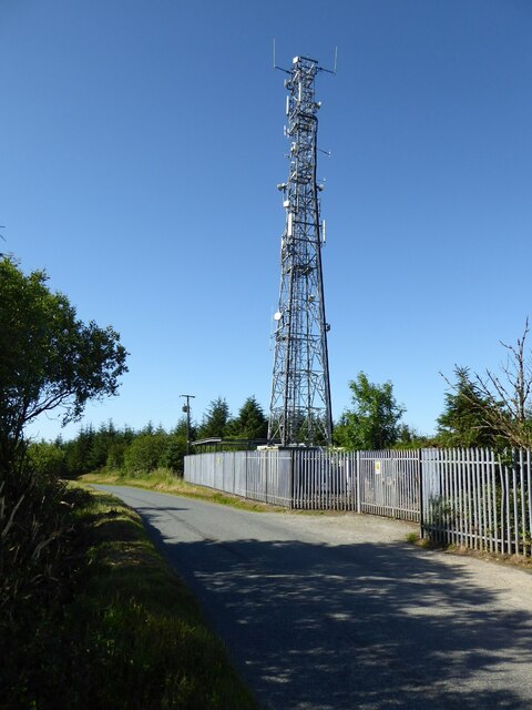
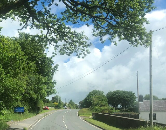
Allt Ddu Images

Images are sourced within 2km of 52.122676/-4.3514288 or Grid Reference SN3949. Thanks to Geograph Open Source API. All images are credited.

Farmland near Blaencwrt Farmland near Blaencwrt, Capel Cynon.  Morning mist is hanging in the low-lying valley in the distance.
Farmland near Blaencwrt
Farmland near Blaencwrt, Capel Cynon. Morning mist is hanging in the low-lying valley in the distance.
Farmland to the east of Capel Cynon
View to Pant Bach View across farmland to the east of Capel Cynon to Pant Bach.
View to Pant Bach
View across farmland to the east of Capel Cynon to Pant Bach.
Churn Stand There is an Ordnance Survey cut mark on the front of the stand. <a title="https://www.geograph.org.uk/photo/7446175" href="https://www.geograph.org.uk/photo/7446175">Link</a>
Churn Stand
There is an Ordnance Survey cut mark on the front of the stand. Link
Ordnance Survey Cut Mark This OS cut mark can be found on the churn stand. It marks a point 276.853m above mean sea level. <a title="https://www.geograph.org.uk/photo/7446174" href="https://www.geograph.org.uk/photo/7446174">Link</a>
Ordnance Survey Cut Mark
This OS cut mark can be found on the churn stand. It marks a point 276.853m above mean sea level. Link
Barn with steps up to the door I couldn't resist photographing this barn at Chapel Farm at Capel Cynon.  I like the way the steps climb up the side to the semi-circular steps giving access to the door.
Barn with steps up to the door
I couldn't resist photographing this barn at Chapel Farm at Capel Cynon. I like the way the steps climb up the side to the semi-circular steps giving access to the door.
St Cynon Church St Cynon Church is hidden away behind Capel Farm.  The church was built in 1820 on the site of an earlier church.
St Cynon Church
St Cynon Church is hidden away behind Capel Farm. The church was built in 1820 on the site of an earlier church.
St Cynon Church St Cynon Church is hidden away behind Capel Farm.  The church was built in 1820 on the site of an earlier church.
St Cynon Church
St Cynon Church is hidden away behind Capel Farm. The church was built in 1820 on the site of an earlier church.
Farmland at Capel Cynon Farmland in a valley around Blaen-Cerdin-fawr at Capel Cynon.
Farmland at Capel Cynon
Farmland in a valley around Blaen-Cerdin-fawr at Capel Cynon.
Valley near Capel Cynon A valley east of Capel Cynon with a tributary of Afon Cerdin flowing through.
Valley near Capel Cynon
A valley east of Capel Cynon with a tributary of Afon Cerdin flowing through.
Country road east of Capel Cynon
Transmitter near Plwmp Transmitter beside a minor road to the south of Plwmp.
Transmitter near Plwmp
Transmitter beside a minor road to the south of Plwmp.
Bridleway sign Bridleway sign beside a country road south of Plwmp.  The Plwmp transmitter can be seen in the distance.
Bridleway sign
Bridleway sign beside a country road south of Plwmp. The Plwmp transmitter can be seen in the distance.
Haymaking field Haymaking field beside a country road south of Plwmp.
Haymaking field
Haymaking field beside a country road south of Plwmp.
Entering Capel Cynon on the A486
Churn Stand There is an Ordnance Survey rivet on the step of the stand. <a title="https://www.geograph.org.uk/photo/7446177" href="https://www.geograph.org.uk/photo/7446177">Link</a>
Churn Stand
There is an Ordnance Survey rivet on the step of the stand. Link
Ordnance Survey Rivet This OS rivet can be found on the step of the churn stand. It marks a point 259.389m above mean sea level. <a title="https://www.geograph.org.uk/photo/7446176" href="https://www.geograph.org.uk/photo/7446176">Link</a>
Ordnance Survey Rivet
This OS rivet can be found on the step of the churn stand. It marks a point 259.389m above mean sea level. Link
Churn Stand There is an Ordnance Survey cut mark on the front of the stand. <a title="https://www.geograph.org.uk/photo/7446179" href="https://www.geograph.org.uk/photo/7446179">Link</a>
Churn Stand
There is an Ordnance Survey cut mark on the front of the stand. Link
Show me another place!

Allt Ddu is located at Grid Ref: SN3949 (Lat: 52.122676, Lng: -4.3514288)

Unitary Authority: Ceredigion

Police Authority: Dyfed Powys

What 3 Words

///join.earlobes.modules. Near Llanllwchaiarn, Ceredigion

Nearby Locations

Allt Ddu

Related Wikis

A486 road

The A486 is an A road in Wales linking New Quay, Ceredigion, with the A484 in Saron (Llangeler), Carmarthenshire. == Route == The road begins in New Quay...

Rhos Llawr Cwrt National Nature Reserve

Rhos Llawr Cwrt National Nature Reserve nestles in the base of the Clettwr valley, some 10 kilometres from the Ceredigion coast, between Ffostrasol and...

Ffostrasol

Ffostrasol is a small village in the south of Ceredigion, Wales. It is located on the A486 between Synod Inn and Llandysul, and it forms part of the parish...

Blaenbedw Fawr

Blaenbedw Fawr is a small village in the community of Llandysiliogogo, Ceredigion, Wales, which is 68.9 miles (110.8 km) from Cardiff and 187 miles (300...

Crugyreryr

Crugyreryr is a hamlet in the community of Llandysiliogogo, Ceredigion, Wales, which is 65.9 miles (106 km) from Cardiff and 183.5 miles (295.3 km) from...

Dolgerdd

Dolgerdd is a hamlet in the community of Llandysiliogogo, Ceredigion, Wales, which is 65.6 miles (105.5 km) from Cardiff and 183.2 miles (294.8 km) from...

Talgarreg

Talgarreg is a small village in the county of Ceredigion, Wales. == Culture, history & amenities == Economically it is sustained by farming, though there...

Pentre-gat

Pentre-gat is a small village in the community of Llangrannog, Ceredigion, Wales, which is 69.6 miles (112 km) from Swansea and 381 miles (302.3 km) from...

Nearby Amenities

Located within 500m of 52.122676,-4.3514288
Allt Ddu
Ele: 306
Natural: peak
Lat/Long: 52.1226107/-4.3513149
The data included in this document is from www.openstreetmap.org. The data is made available under ODbL.

Have you been to Allt Ddu?

Leave your review of Allt Ddu below (or comments, questions and feedback).