Barcoed Wood
Wood, Forest in Ayrshire
Scotland
Barcoed Wood
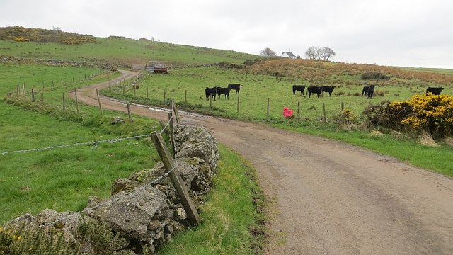
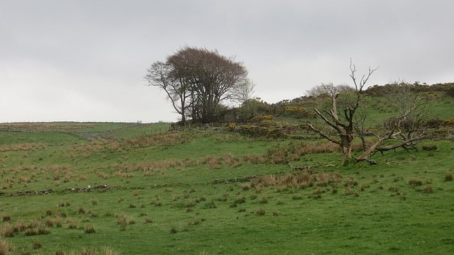
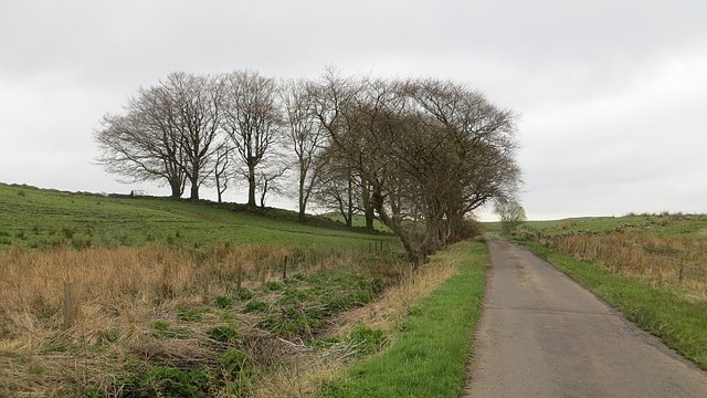
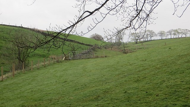
Barcoed Wood, located in Ayrshire, Scotland, is a picturesque forest that covers an area of approximately 20 hectares. The wood is nestled within the stunning countryside, offering visitors a tranquil and serene atmosphere to enjoy nature at its finest.
Barcoed Wood is predominantly made up of deciduous trees, including oak, birch, and beech, which create a beautiful canopy during the summer months. The forest floor is covered with a rich carpet of wildflowers and ferns, adding to the wood's natural charm.
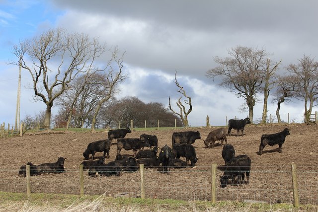
The wood is home to a diverse range of wildlife, making it a popular destination for nature enthusiasts and photographers. Visitors can spot a variety of bird species, such as woodpeckers, nuthatches, and tawny owls, as well as small mammals like red squirrels and roe deer.
There are several well-maintained walking trails throughout Barcoed Wood, providing visitors with the opportunity to explore the forest's beauty at their own pace. These paths wind through the ancient trees and offer stunning views of the surrounding countryside.
Barcoed Wood is also a popular spot for picnicking and family outings. With its peaceful ambiance and ample space, it is an ideal location for enjoying a leisurely afternoon surrounded by nature.
Overall, Barcoed Wood in Ayrshire is a hidden gem, offering visitors a chance to immerse themselves in the tranquility of a beautiful forest. Whether it's for a peaceful walk, wildlife spotting, or a family excursion, this wood is a must-visit destination for those seeking a connection with nature.
If you have any feedback on the listing, please let us know in the comments section below.
Barcoed Wood Images
Images are sourced within 2km of 55.77639/-4.5673515 or Grid Reference NS3956. Thanks to Geograph Open Source API. All images are credited.


Barcoed Wood is located at Grid Ref: NS3956 (Lat: 55.77639, Lng: -4.5673515)
Unitary Authority: North Ayrshire
Police Authority: Ayrshire
What 3 Words
///sheepish.tripling.orchids. Near Howwood, Renfrewshire
Nearby Locations
Related Wikis
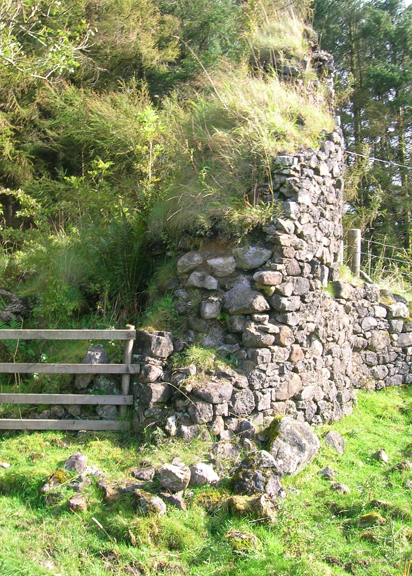
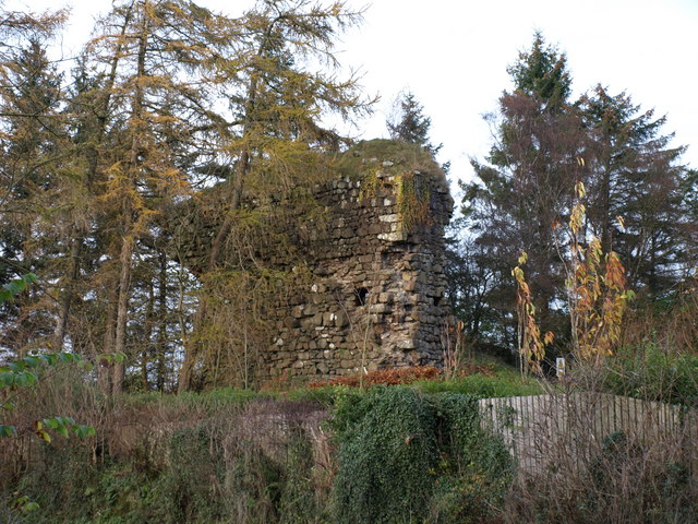
Auchenbathie Tower
Auchenbathie, Auchinbathie Tower or rarely Barcraigs Tower is a ruined fortification, a tower house, once held by the Wallace Clan of Elderslie, situated...
Lands of Threepwood
The lands of Threepwood were located in the Parish of Beith, at the eastern boundary between East Renfrewshire and North Ayrshire, Scotland. The settlements...

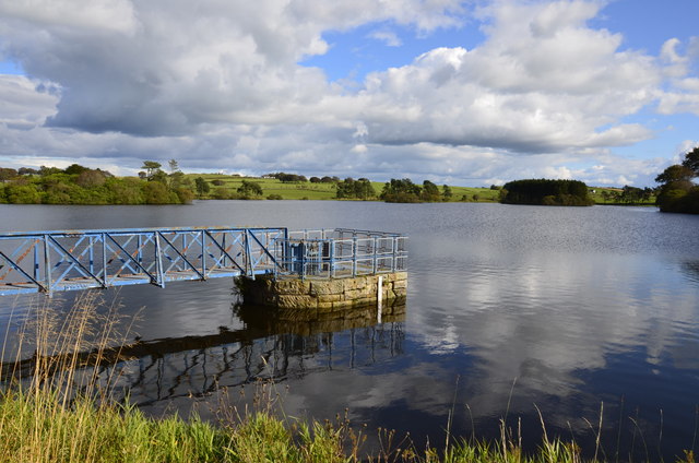
Lowes Loch (Ayrshire)
Lowes Loch, The Lochs (NS 37754 55688) or Loch of Hill is now a small natural freshwater loch in the North Ayrshire Council Areas (KA15 2JR), Scotland...

Lands of Brownmuir
The lands of Brownmuir, Brown Muir (1832) or Brimmer (1821) in Scots were located in the Parish of Beith, at the western boundary between East Renfrewshire...

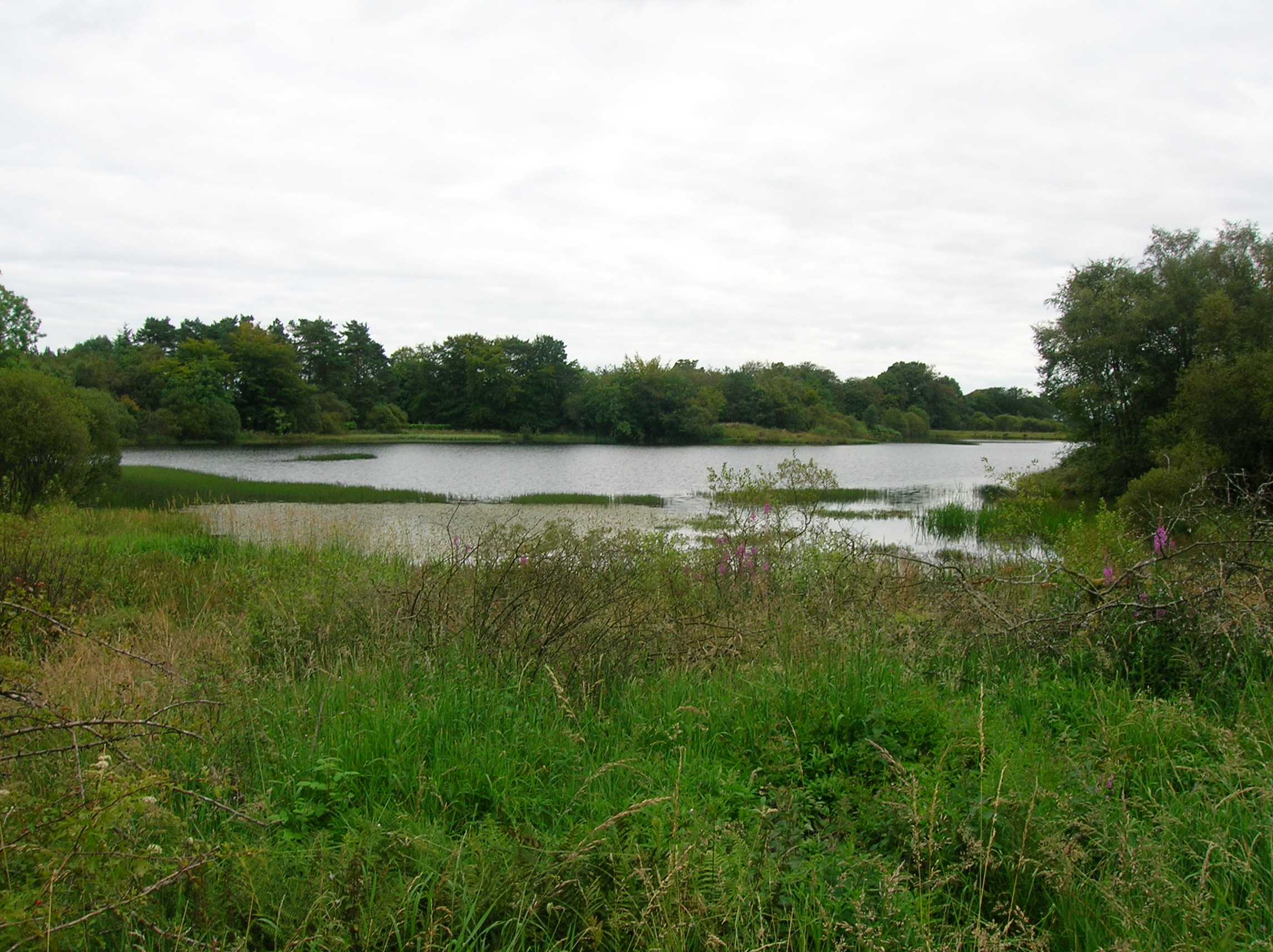
Castle Semple Loch
Castle Semple Loch is a 1.5-mile-long (2.5 km) inland freshwater loch at Lochwinnoch in Renfrewshire, Scotland. Originally part of an estate of the same...

Coldstream Mill
Coldstream Mill, near Beith in North Ayrshire, Scotland, was an early 19th century meal mill powered by the Dusk Water and Whitestone Burn that was enlarged...

Walls Loch
Walls Loch is situated at a height of 560 feet, below the Walls Hill Iron Age fort and to the east of Broadfield Hill on the lands of North Castlewalls...
Lands of Elliston
The lands of Elliston, previously Elliotston or Eliotstoun or Elliestoun in the Parish of Lochwinnoch were part of the holdings of the Barony of Elliston...
Nearby Amenities
Located within 500m of 55.77639,-4.5673515Have you been to Barcoed Wood?
Leave your review of Barcoed Wood below (or comments, questions and feedback).