Cowfauldcraig Wood

Wood, Forest in Renfrewshire

Scotland

Cowfauldcraig Wood

Rough road, Windy Hill One of several dodgy yellow roads around here.
Rough road, Windy Hill Credit: Richard Webb

Cowfauldcraig Wood is a picturesque forest located in Renfrewshire, Scotland. Covering an area of approximately 35 hectares, it is situated near the village of Bridge of Weir. The wood is part of the Clyde Muirshiel Regional Park, which is a popular destination for nature lovers and outdoor enthusiasts.

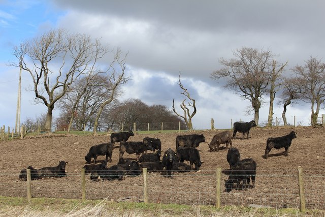
The woodland consists mainly of broadleaf trees, including oak, birch, and beech, which provide a rich habitat for a variety of wildlife. Walking through the wood, visitors can expect to see a diverse range of bird species, such as woodpeckers, tits, and finches, as well as small mammals like red squirrels and badgers. In spring, the forest floor comes alive with a vibrant display of wildflowers, including bluebells, primroses, and violets.

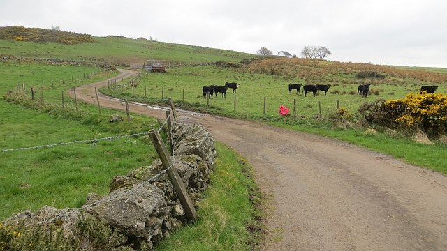
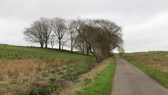
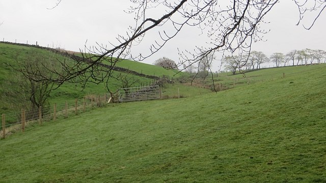
There are several well-maintained trails that wind through Cowfauldcraig Wood, offering visitors the opportunity to explore its natural beauty. These paths cater to different levels of fitness and are suitable for walkers of all ages. Along the trails, there are informative signs that provide interesting facts about the wood and its flora and fauna.

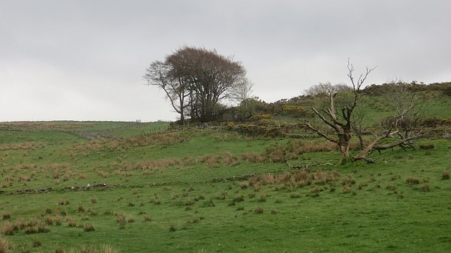
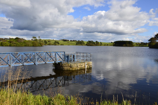
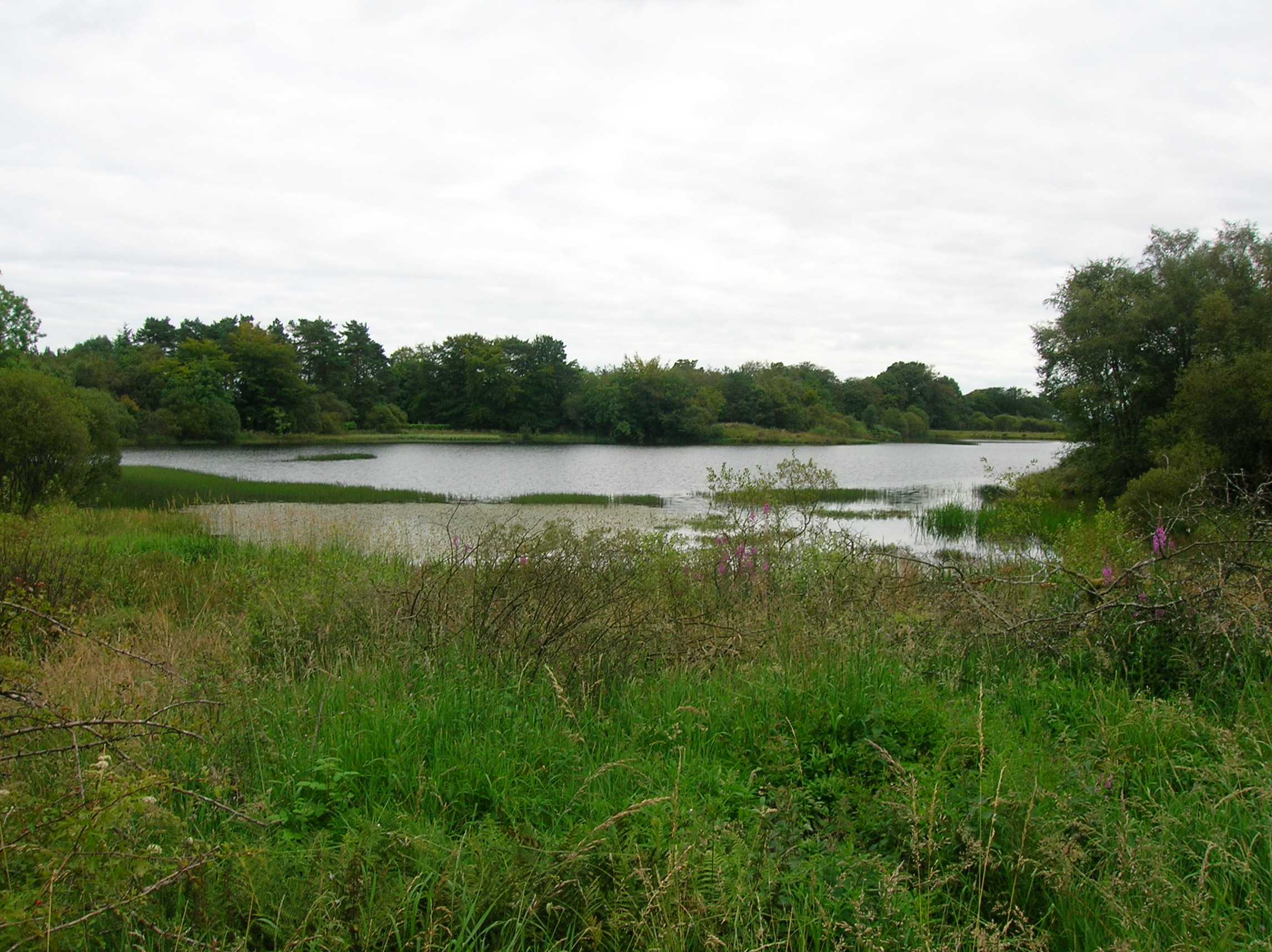
The forest also boasts stunning panoramic views of the surrounding countryside, including the Renfrewshire hills and the River Gryffe. These scenic vistas make it an ideal spot for photography enthusiasts and nature photographers.

Overall, Cowfauldcraig Wood is a tranquil and enchanting forest that offers a peaceful escape from the hustle and bustle of everyday life. It provides a haven for wildlife and a place for visitors to connect with nature and enjoy the beauty of the Scottish countryside.

If you have any feedback on the listing, please let us know in the comments section below.

Cowfauldcraig Wood Images

Images are sourced within 2km of 55.772431/-4.5615101 or Grid Reference NS3956. Thanks to Geograph Open Source API. All images are credited.

Rough road, Windy Hill One of several dodgy yellow roads around here.
Rough road, Windy Hill
One of several dodgy yellow roads around here.
North of Windy Hill Damp pasture on hills made of igneous rock.
North of Windy Hill
Damp pasture on hills made of igneous rock.
Minor road, Windy Hill Hill top road with a poor surface in places.
Minor road, Windy Hill
Hill top road with a poor surface in places.
Grassland, Rigfoot
Grassland, Rigfoot
Cattle at Rigfoot Farm
Rigfoot Farm from the air Caldwell golf club and McLaren's Nursery are also visible.
Rigfoot Farm from the air
Caldwell golf club and McLaren's Nursery are also visible.
Sluice on Barcraigs Reservoir We locals in the 50s and 60s always knew this water as Roebank. Not sure when it changed its name, nor why?
Sluice on Barcraigs Reservoir
We locals in the 50s and 60s always knew this water as Roebank. Not sure when it changed its name, nor why?
Cadgerford Burn Kirkleegreen Bridge on the left carries Threepwood Road over the burn. The burn runs the short distance from Kirkleegreen reservoir to Cuffhill Reservoir.
Cadgerford Burn
Kirkleegreen Bridge on the left carries Threepwood Road over the burn. The burn runs the short distance from Kirkleegreen reservoir to Cuffhill Reservoir.
Barcraigs Reservoir near Lochwinnoch Looking West
Barcraigs Reservoir near Lochwinnoch
Looking West
Barcraigs Reservoir The Dam on the left is the Roebank Dam. The Dam on the right is the Barcraigs Reservoir
Barcraigs Reservoir
The Dam on the left is the Roebank Dam. The Dam on the right is the Barcraigs Reservoir
Barcraigs Reservoir Low tide October 2010
Barcraigs Reservoir
Low tide October 2010
Old sluice gate Roebank Dam
Roebank in the snow
Roebank in the snow
Old Wall by Threepwood Road, Beith The road lies to the left and a new fence runs to the right of the wall.
Old Wall by Threepwood Road, Beith
The road lies to the left and a new fence runs to the right of the wall.
Dam: Barcraigs/Rowbank One of a pair of reservoirs, the dam was built in 1916. One of these places that seems to have alternative names.
Dam: Barcraigs/Rowbank
One of a pair of reservoirs, the dam was built in 1916. One of these places that seems to have alternative names.
Rashy ground, Rowbank Damp grazing near the reservoirs.
Rashy ground, Rowbank
Damp grazing near the reservoirs.
B776, Rowbank A little away from the reservoirs here with a small wood between the road and water.
B776, Rowbank
A little away from the reservoirs here with a small wood between the road and water.
Rowbank/Barcraigs Reservoir The eastern of the pair of reservoirs.
Rowbank/Barcraigs Reservoir
The eastern of the pair of reservoirs.
Show me another place!

Cowfauldcraig Wood is located at Grid Ref: NS3956 (Lat: 55.772431, Lng: -4.5615101)

Unitary Authority: Renfrewshire

Police Authority: Renfrewshire and Inverclyde

What 3 Words

///encrusted.harmless.smelter. Near Howwood, Renfrewshire

Related Wikis

Lands of Threepwood

The lands of Threepwood were located in the Parish of Beith, at the eastern boundary between East Renfrewshire and North Ayrshire, Scotland. The settlements...

Auchenbathie Tower

Auchenbathie, Auchinbathie Tower or rarely Barcraigs Tower is a ruined fortification, a tower house, once held by the Wallace Clan of Elderslie, situated...

Lowes Loch (Ayrshire)

Lowes Loch, The Lochs (NS 37754 55688) or Loch of Hill is now a small natural freshwater loch in the North Ayrshire Council Areas (KA15 2JR), Scotland...

Coldstream Mill

Coldstream Mill, near Beith in North Ayrshire, Scotland, was an early 19th century meal mill powered by the Dusk Water and Whitestone Burn that was enlarged...

Nearby Amenities

Located within 500m of 55.772431,-4.5615101
Townhead of Threepwood
Place: locality
Lat/Long: 55.7689742/-4.5638523
Power: pole
Lat/Long: 55.7680672/-4.5613281
Power: pole
Lat/Long: 55.7682278/-4.5629863
Power: pole
Lat/Long: 55.7683403/-4.564107
Power: pole
Lat/Long: 55.768703/-4.5579793
Power: pole
Lat/Long: 55.7693346/-4.5577918
Power: pole
Lat/Long: 55.7700799/-4.5576023
Power: pole
Lat/Long: 55.7708369/-4.5574002
Power: pole
Lat/Long: 55.7715951/-4.5571877
Power: pole
Lat/Long: 55.7723743/-4.5569919
Power: pole
Lat/Long: 55.7731195/-4.5570106
Power: pole
Lat/Long: 55.7738425/-4.5570169
Power: pole
Lat/Long: 55.7745103/-4.5570315
Power: pole
Lat/Long: 55.7753293/-4.5570419
Power: pole
Lat/Long: 55.7760054/-4.5570565
The data included in this document is from www.openstreetmap.org. The data is made available under ODbL.

Have you been to Cowfauldcraig Wood?

Leave your review of Cowfauldcraig Wood below (or comments, questions and feedback).