Baryerrock Hill
Hill, Mountain in Wigtownshire
Scotland
Baryerrock Hill

Baryerrock Hill is a prominent hill located in Wigtownshire, a historic county in southwestern Scotland. Situated near the village of Kirkcowan, the hill is part of the Galloway Hills range, which is known for its lush green landscapes and stunning natural beauty.
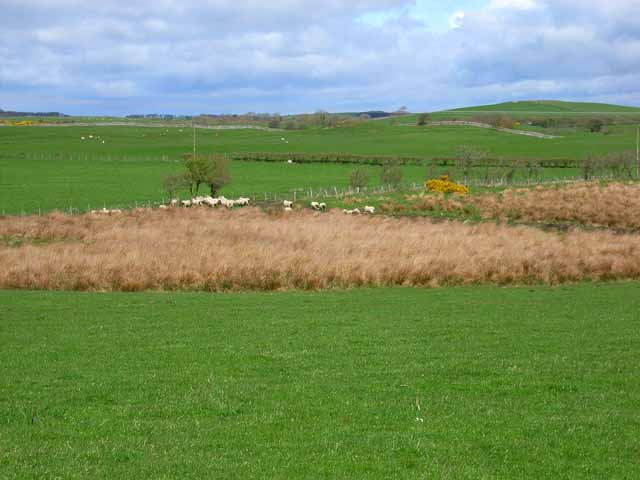
Standing at an elevation of 314 meters (1,030 feet), Baryerrock Hill offers breathtaking panoramic views of the surrounding countryside. The hill is characterized by its gentle slopes and rocky terrain, making it a popular destination for hikers and nature enthusiasts alike. The ascent to the summit is relatively easy, making it accessible to people of all fitness levels.
The hill is covered in a variety of vegetation, including heather, grasses, and scattered trees. This diverse flora provides a habitat for various bird species, making it an excellent spot for birdwatching. Peregrine falcons, red kites, and buzzards are among the birds frequently spotted in the area.
Baryerrock Hill is also home to a number of archaeological sites, including Bronze Age burial cairns and Iron Age hill forts. These ancient structures offer insight into the area's rich history and provide a glimpse into the lives of its early inhabitants.
Overall, Baryerrock Hill is a picturesque destination that offers a combination of natural beauty, recreational opportunities, and historical significance. Whether visitors are seeking an outdoor adventure or a peaceful retreat, this hill in Wigtownshire has something to offer for everyone.
If you have any feedback on the listing, please let us know in the comments section below.
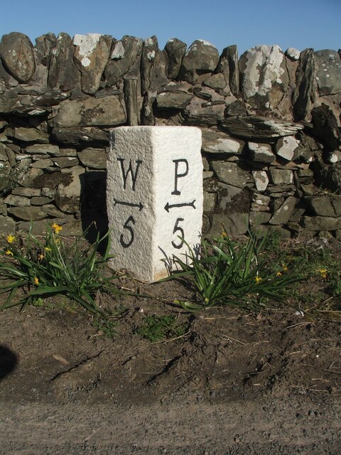
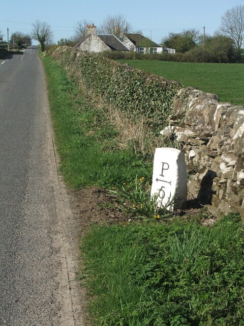
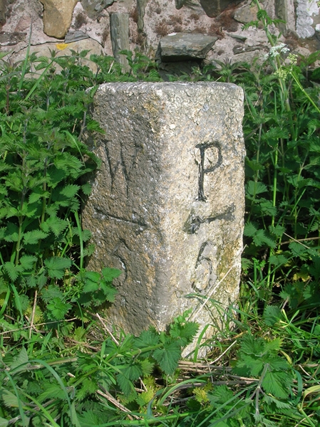
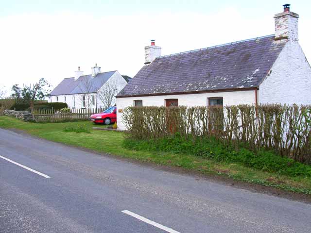
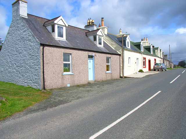
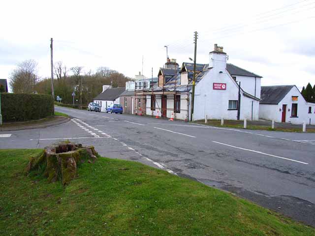
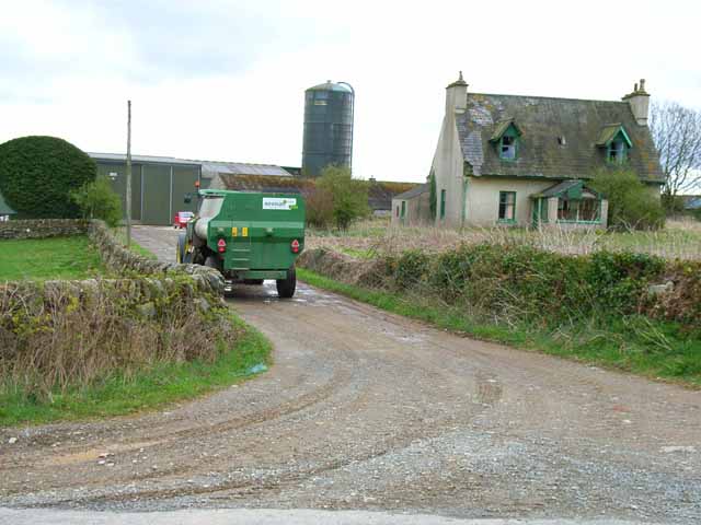
Baryerrock Hill Images
Images are sourced within 2km of 54.822096/-4.5053275 or Grid Reference NX3950. Thanks to Geograph Open Source API. All images are credited.


Baryerrock Hill is located at Grid Ref: NX3950 (Lat: 54.822096, Lng: -4.5053275)
Unitary Authority: Dumfries and Galloway
Police Authority: Dumfries and Galloway
What 3 Words
///unlisted.between.informer. Near Whithorn, Dumfries & Galloway
Nearby Locations
Related Wikis

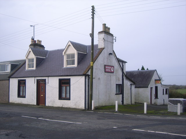
Whauphill railway station
Whauphill (NX 40462 49887) was a railway station on the Wigtownshire Railway branch line, from Newton Stewart to Whithorn, of the Portpatrick and Wigtownshire...

Whauphill
Whauphill is a small village located in the historical county of Wigtownshire in the Machars, Dumfries and Galloway, Scotland.Whauphill is a hub that supports...

Kirkinner railway station
Kirkinner was a railway station on the Wigtownshire Railway branch line, from Newton Stewart to Whithorn, of the Portpatrick and Wigtownshire Joint Railway...
Kirkinner
Kirkinner (Scottish Gaelic: Cille Chainneir, IPA: [ˈkʲʰiʎə ˈxaɲɪɾʲ]) is a village in the Machars, in the historical county of Wigtownshire in Dumfries...
Mochrum
Mochrum () is a coastal civil and Church of Scotland parish situated to the east of Luce Bay on the Machars peninsula and 8 miles (13 km) southwest of...

Bladnoch Distillery and Visitor Centre
Bladnoch distillery is a single malt Scotch whisky distillery in south west Scotland. It is one of six remaining Lowland distilleries, located at Bladnoch...

Bladnoch, Wigtownshire
Bladnoch (Scottish Gaelic: Blaidneach) is a small village on the River Bladnoch in Wigtownshire, Scotland, located just outside the county town of Wigtown...

Sorbie railway station
Sorbie (NX4351447562) was a railway station that was located close to the village of Sorbie on the then Wigtownshire Railway branch line to Whithorn, from...
Nearby Amenities
Located within 500m of 54.822096,-4.5053275Have you been to Baryerrock Hill?
Leave your review of Baryerrock Hill below (or comments, questions and feedback).