Highland Park

Settlement in Stirlingshire

Scotland

Highland Park

Rough grazing on Garrel Hill The going is tough here, and gets worse further up. The mapped paths exist only on older maps, but there is a reasonable one on the ridge.
Rough grazing on Garrel Hill Credit: Richard Webb

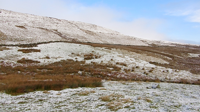
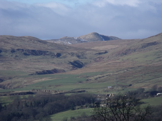
Highland Park is a small village located in Stirlingshire, Scotland. Situated on the eastern edge of Loch Lomond and the Trossachs National Park, this picturesque village offers stunning views of the surrounding mountains and countryside.

With a population of around 1,200 residents, Highland Park is known for its tranquil and peaceful atmosphere. The village is primarily residential, with a few local amenities such as a small grocery store, a post office, and a primary school. Additionally, there are several charming bed and breakfast accommodations available for visitors who wish to explore the area.

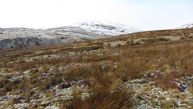
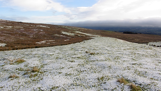
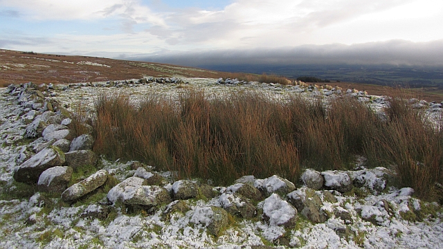
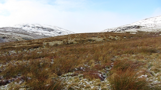
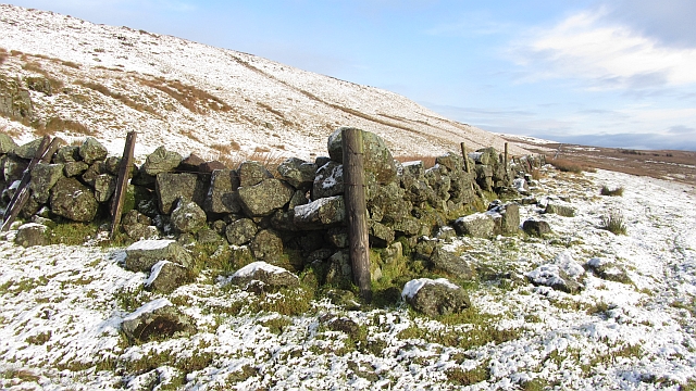
The natural beauty of Highland Park is a major draw for outdoor enthusiasts. The village is surrounded by lush greenery, rolling hills, and idyllic walking trails, making it an ideal destination for hikers and nature lovers. The nearby Loch Lomond offers opportunities for boating, fishing, and water sports.

History buffs will appreciate the village's rich heritage. Highland Park is home to several historical sites, including the ruins of a medieval castle that dates back to the 15th century. The castle offers visitors a glimpse into the region's past and provides a stunning backdrop for photography enthusiasts.

Overall, Highland Park is a charming village that offers a peaceful escape from the hustle and bustle of city life. With its breathtaking scenery, outdoor activities, and historical significance, it is a destination that appeals to a wide range of visitors.

If you have any feedback on the listing, please let us know in the comments section below.

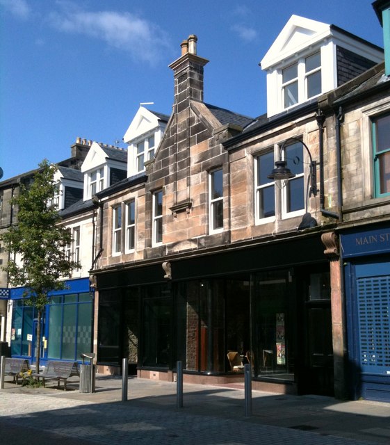
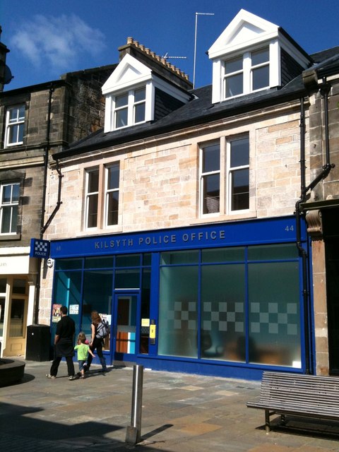
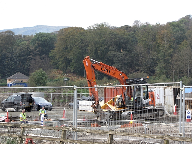
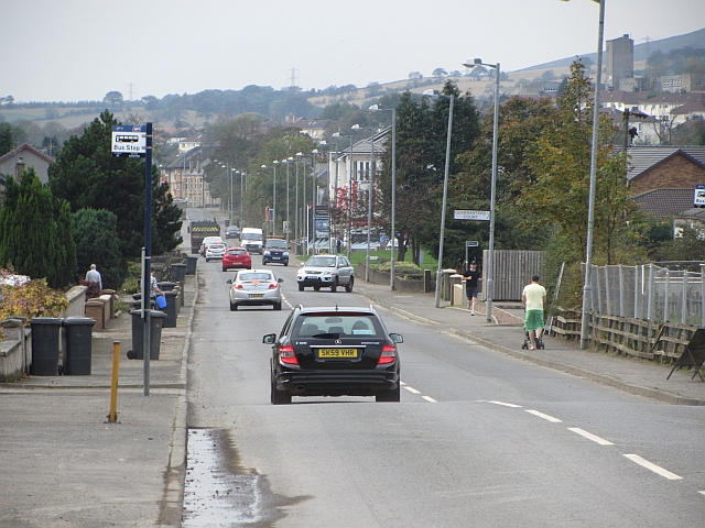
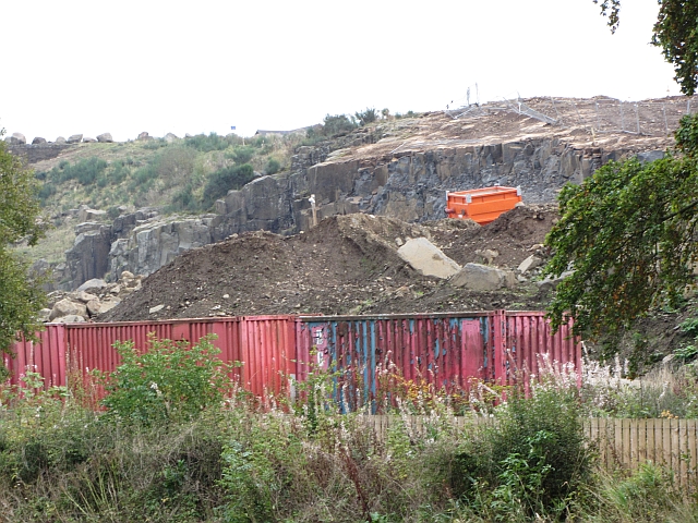
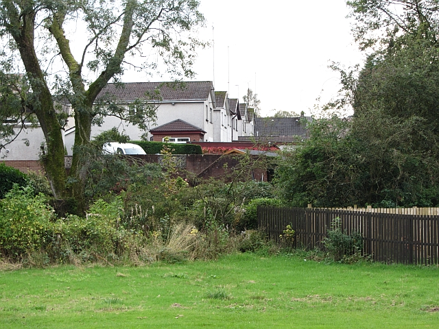
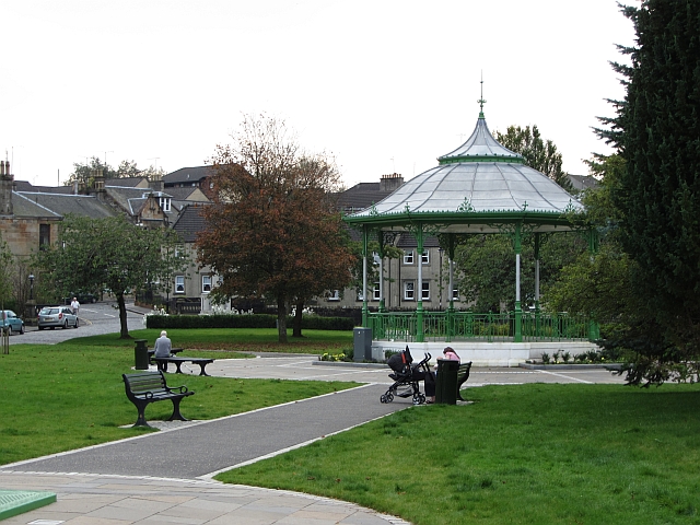
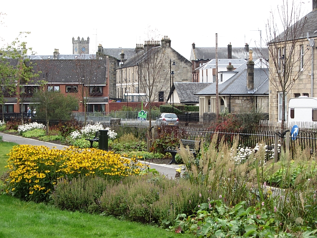
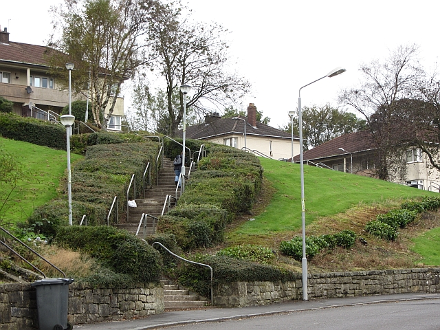
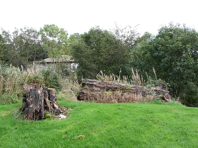
Highland Park Images

Images are sourced within 2km of 55.982738/-4.058205 or Grid Reference NS7178. Thanks to Geograph Open Source API. All images are credited.

Rough grazing on Garrel Hill The going is tough here, and gets worse further up. The mapped paths exist only on older maps, but there is a reasonable one on the ridge.
Rough grazing on Garrel Hill
The going is tough here, and gets worse further up. The mapped paths exist only on older maps, but there is a reasonable one on the ridge.
Rough grazing on Garrel Hill A tongue of raised ground is sufficiently drained to be grassy. All around is wet rashy ground giving abominable going. Paths on the map? The Ordnance Survey have just removed them to reflect their lack of existence on the ground.
Rough grazing on Garrel Hill
A tongue of raised ground is sufficiently drained to be grassy. All around is wet rashy ground giving abominable going. Paths on the map? The Ordnance Survey have just removed them to reflect their lack of existence on the ground.
A ruined enclosure An old fank?
A ruined enclosure
An old fank?
Laird's Hill and the glen of the Garrell Burn Rough grazing on the Kilsyth Hills. The burn runs through the gap between Laird's Hill (left) and Garell Hill.
Laird's Hill and the glen of the Garrell Burn
Rough grazing on the Kilsyth Hills. The burn runs through the gap between Laird's Hill (left) and Garell Hill.
Little Hill Rough grazing above Kilsyth.
Little Hill
Rough grazing above Kilsyth.
Dyke corner A corner of a wall under Little Hill. The path shown here on all but the latest maps does not exist although there is a gate on its course allowing the dyke to be crossed.
Dyke corner
A corner of a wall under Little Hill. The path shown here on all but the latest maps does not exist although there is a gate on its course allowing the dyke to be crossed.
Kilsyth Hills The severe defile of the Garrel burn dominates the centre of picture while Meikle Bin overlooks everything.
Kilsyth Hills
The severe defile of the Garrel burn dominates the centre of picture while Meikle Bin overlooks everything.
Auchinstarry Totem Pole
White House Building, Main Street (July 2011) This old building has recently been redeveloped.

It spent a few years looking like this <a title="www.geograph.org.uk/photo/1719580" href="https://www.geograph.org.uk/photo/1719580">Link</a>
White House Building, Main Street (July 2011)
This old building has recently been redeveloped. It spent a few years looking like this Link
Kilsyth Police Office Kilsyth's new police office.
The old one is currently up for sale.
Kilsyth Police Office
Kilsyth's new police office. The old one is currently up for sale.
Building site, Stirling Road New houses being built in Kilsyth.
Building site, Stirling Road
New houses being built in Kilsyth.
Stirling Road, Kilsyth Westward view.
Stirling Road, Kilsyth
Westward view.
Barrwood Quarry There is a lot of work going on in the quarry right now. Possibly landscaping associated with the neighbouring new housing development.
Barrwood Quarry
There is a lot of work going on in the quarry right now. Possibly landscaping associated with the neighbouring new housing development.
Ebroch Drive The back of houses on Ebroch Drive.
Ebroch Drive
The back of houses on Ebroch Drive.
Bandstand, Burngreen A small park between two burns (one the River Kelvin) in Kilsyth.
Bandstand, Burngreen
A small park between two burns (one the River Kelvin) in Kilsyth.
Burngreen Park in Kilsyth seen on a very hot day.
Burngreen
Park in Kilsyth seen on a very hot day.
Steps, Belmont Street A flight of steps form a short cut towards Kilsyth town centre from a residential area on a hillside.
Steps, Belmont Street
A flight of steps form a short cut towards Kilsyth town centre from a residential area on a hillside.
Park, Westfield A rotting tree in a small open space near the old railway line.
Park, Westfield
A rotting tree in a small open space near the old railway line.
Show me another place!

Highland Park is located at Grid Ref: NS7178 (Lat: 55.982738, Lng: -4.058205)

Unitary Authority: North Lanarkshire

Police Authority: Lanarkshire

What 3 Words

///dinner.snug.clarifies. Near Kilsyth, North Lanarkshire

Related Wikis

Kilsyth

Kilsyth (; Scottish Gaelic Cill Saidhe) is a town and civil parish in North Lanarkshire, roughly halfway between Glasgow and Stirling in Scotland. The...

Kilsyth railway station

Kilsyth Old station served the town of Kilsyth in Scotland. It was the original terminus of the Kelvin Valley Railway. == History == The station opened...

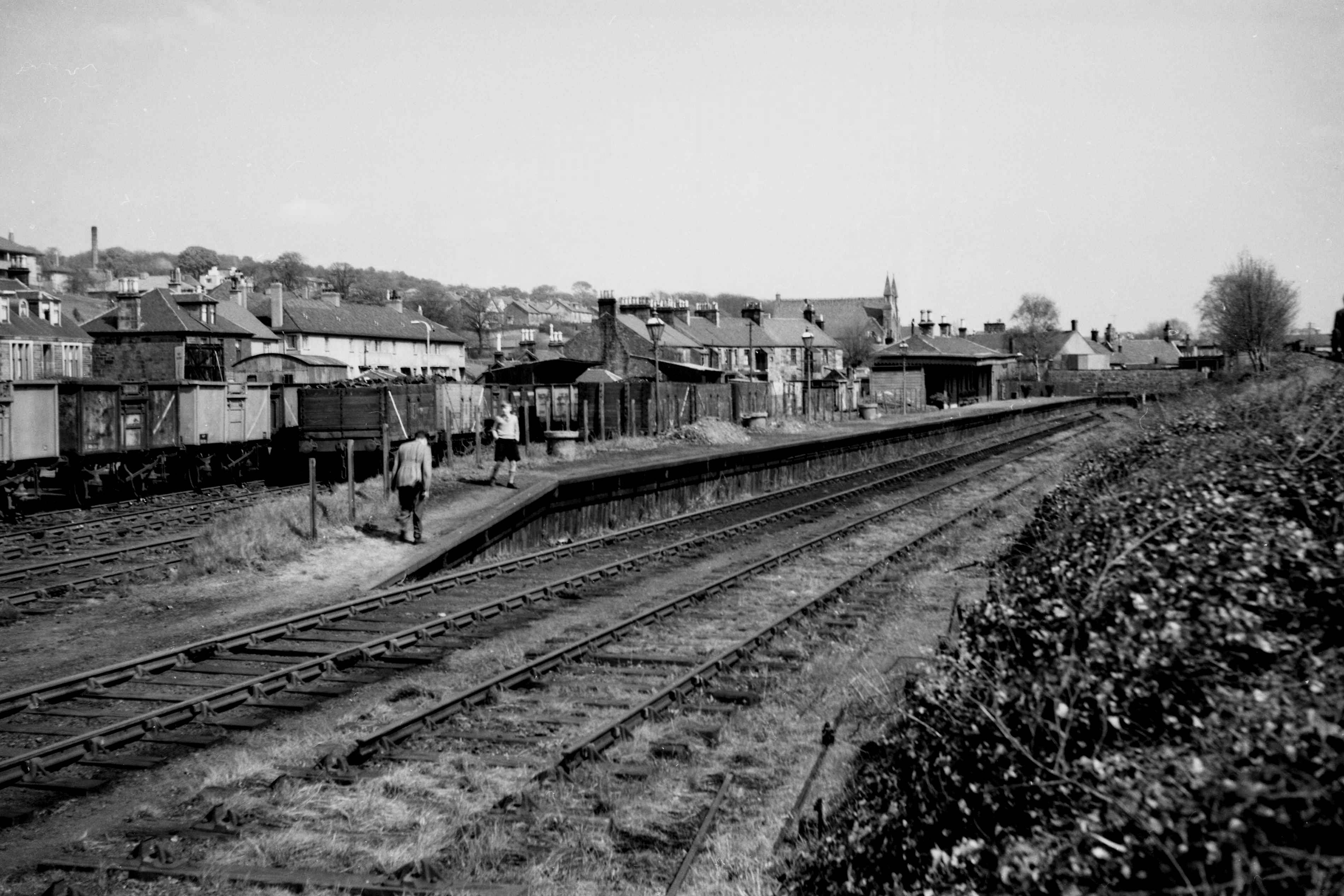
Kilsyth New railway station

Kilsyth New station served the town of Kilsyth in Scotland. The station was on the Kilsyth and Bonnybridge Railway. == History == The station opened on...

Kilsyth Rangers F.C.

Kilsyth Rangers Football Club are a Scottish football club based in the town of Kilsyth, North Lanarkshire. Nicknamed The Wee Gers, they were formed in...

Kilsyth Victoria Cottage Hospital

Kilsyth Victoria Cottage Hospital is a health facility in Glasgow Road, Kilsyth, North Lanarkshire, Scotland. It is managed by NHS Lanarkshire. == History... ==

Colzium

Colzium House and Estate (pronounced Coal-Zee-Um) is about 500 metres to the north-east of Kilsyth, North Lanarkshire, Scotland. The present house dates...

Antonine Wall

The Antonine Wall, known to the Romans as Vallum Antonini, was a turf fortification on stone foundations, built by the Romans across what is now the Central...

Colzium railway station

Colzium railway station served the area of Colzium, North Lanarkshire, Scotland from 1888 to 1917 on the Kilsyth and Bonnybridge Railway. == History... ==

Nearby Amenities

Located within 500m of 55.982738,-4.058205
Crossing
Crossing: traffic_signals
Crossing Island: no
Tactile Paving: yes
Lat/Long: 55.9787704/-4.0548329
Crossing
Crossing: traffic_signals
Crossing Island: no
Lat/Long: 55.9784553/-4.0574485
High Balmalloch
Place: suburb
Lat/Long: 55.9820565/-4.0647422
Post Box
Source: survey
Lat/Long: 55.9791554/-4.0626847
Barrier: cattle_grid
Lat/Long: 55.9843748/-4.0582562
9
Golf: pin
Lat/Long: 55.9834767/-4.0527409
14
Golf: pin
Lat/Long: 55.9848948/-4.0532488
17
Golf: pin
Lat/Long: 55.985525/-4.0543753
18
Golf: pin
Lat/Long: 55.9842346/-4.0537262
Bus Stop
Kilsyth, Livingston Park before Balmalloch Road
Bus: yes
Departures Board: timetable
Naptan AtcoCode: 61601429
Naptan NaptanCode: 65236973
Public Transport: platform
Shelter: yes
Lat/Long: 55.9824415/-4.06571
Bus Stop
Kilsyth, Arden Grove at 10 Arden Grove
Bus: yes
Departures Board: timetable
Naptan AtcoCode: 61601778
Naptan NaptanCode: 65238545
Public Transport: platform
Shelter: no
Lat/Long: 55.983033/-4.0648732
Bus Stop
Kilsyth, Arden Grove at 15 Arden Grove
Bus: yes
Departures Board: timetable
Naptan AtcoCode: 61601777
Naptan NaptanCode: 65238625
Public Transport: platform
Shelter: no
Lat/Long: 55.9831207/-4.064735
Bus Stop
Kilsyth, Arden Grove at 48 Arden Grove
Bus: yes
Departures Board: timetable
Naptan AtcoCode: 61601780
Naptan NaptanCode: 65238725
Public Transport: platform
Shelter: no
Lat/Long: 55.9834225/-4.0614678
Bus Stop
Kilsyth, Arden Grove at 57 Arden Grove
Bus: yes
Departures Board: timetable
Naptan AtcoCode: 61601779
Naptan NaptanCode: 65238636
Public Transport: platform
Shelter: no
Lat/Long: 55.9835095/-4.0611739
Bus Stop
Kilsyth, Arden Grove before Garrell Grove
Bus: yes
Departures Board: timetable
Naptan AtcoCode: 61601782
Naptan NaptanCode: 65238786
Public Transport: platform
Shelter: no
Lat/Long: 55.9825395/-4.0582777
Bus Stop
Kilsyth, Arden Grove before Glen Grove
Bus: yes
Departures Board: timetable
Naptan AtcoCode: 61601781
Naptan NaptanCode: 65238759
Public Transport: platform
Shelter: no
Lat/Long: 55.9825878/-4.0581358
Bus Stop
Kilsyth, Parkburn Road after Arden Grove
Bus: yes
Departures Board: timetable
Naptan AtcoCode: 61601792
Naptan NaptanCode: 65239352
Public Transport: platform
Lat/Long: 55.9819561/-4.0574466
Bus Stop
Kilsyth, Parkburn Road opp Arden Grove
Bus: yes
Departures Board: timetable
Naptan AtcoCode: 61601793
Naptan NaptanCode: 65239264
Public Transport: platform
Lat/Long: 55.9818818/-4.0573827
Bus Stop
Kilsyth, Parkburn Road after Kingston Flats
Bus: yes
Departures Board: timetable
Naptan AtcoCode: 61601775
Naptan NaptanCode: 65238926
Public Transport: platform
Lat/Long: 55.9796705/-4.056935
Bus Stop
Kilsyth, Parkburn Road before Kingston Flats
Bus: yes
Departures Board: timetable
Naptan AtcoCode: 61601776
Naptan NaptanCode: 65238964
Public Transport: platform
Lat/Long: 55.9796479/-4.0568012
Bus Stop
Kilsyth, Kingston Road before Charles Street
Bus: yes
Departures Board: timetable
Naptan AtcoCode: 61601434
Naptan NaptanCode: 65235926
Public Transport: platform
Shelter: yes
Lat/Long: 55.9786743/-4.0551353
Bus Stop
Kilsyth, Kingston Road before Parkburn Road
Bus: yes
Departures Board: timetable
Naptan AtcoCode: 61601433
Naptan NaptanCode: 65234275
Public Transport: platform
Shelter: yes
Lat/Long: 55.9785786/-4.0568888
Bus Stop
Kilsyth, Parkfoot Street after Main Street
Bus: yes
Departures Board: timetable
Naptan AtcoCode: 61601432
Naptan NaptanCode: 65235465
Public Transport: platform
Shelter: yes
Lat/Long: 55.9785414/-4.0590124
Bus Stop
Kilsyth, Parkfoot Street opp Police Station
Bus: yes
Departures Board: timetable
Naptan AtcoCode: 61601431
Naptan NaptanCode: 65235292
Public Transport: platform
Shelter: no
Lat/Long: 55.978673/-4.0590826
Bus Stop
Kilsyth, Kelvin Way at 42 Kelvin Way
Bus: yes
Departures Board: timetable
Naptan AtcoCode: 61601804
Naptan NaptanCode: 65239525
Public Transport: platform
Shelter: no
Lat/Long: 55.97926/-4.0626521
Bus Stop
Kilsyth, Kelvin Way before Belmont Street
Bus: yes
Departures Board: no
Naptan AtcoCode: 61601965
Naptan NaptanCode: 65296496
Public Transport: platform
Shelter: no
Lat/Long: 55.9791885/-4.0626198
Bus Stop
Kilsyth, Kelvin Way opp Elgin Place
Bus: yes
Departures Board: timetable
Naptan AtcoCode: 61601805
Naptan NaptanCode: 65239526
Public Transport: platform
Shelter: no
Lat/Long: 55.9803248/-4.0602772
Bus Stop
Kilsyth, Kelvin Way at Elgin Place
Bus: yes
Departures Board: no
Naptan AtcoCode: 61601966
Naptan NaptanCode: 65296497
Public Transport: platform
Shelter: no
Lat/Long: 55.98026/-4.0602348
Bus Stop
Kilsyth, Kingsway before Belmont Street
Bus: yes
Naptan AtcoCode: 61601806
Naptan NaptanCode: 65239529
Public Transport: platform
Shelter: no
Lat/Long: 55.9803317/-4.0586865
Bus Stop
Kilsyth, Kingsway after Belmont Street
Bus: yes
Naptan AtcoCode: 61601967
Naptan NaptanCode: 65296489
Public Transport: platform
Shelter: no
Lat/Long: 55.9803083/-4.0587941
Give Way
Direction: forward
Lat/Long: 55.9785055/-4.0603991
Give Way
Direction: forward
Lat/Long: 55.9785242/-4.0607773
The data included in this document is from www.openstreetmap.org. The data is made available under ODbL.

Have you been to Highland Park?

Leave your review of Highland Park below (or comments, questions and feedback).