Highland Boath
Settlement in Nairnshire
Scotland
Highland Boath
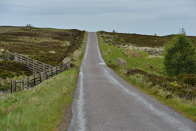
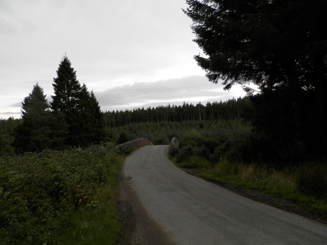
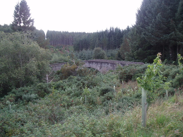
Highland Boath is a picturesque rural village located in the county of Nairnshire, Scotland. Situated on the eastern bank of the River Nairn, it is surrounded by stunning natural beauty and offers a tranquil setting for residents and visitors alike.
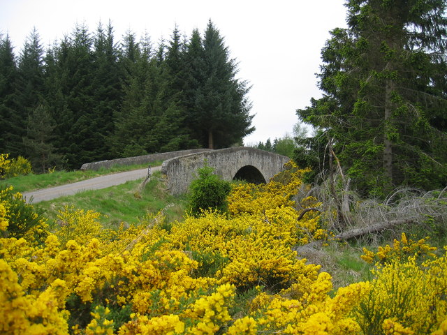
The village is known for its charming stone cottages and traditional Scottish architecture, which adds to its idyllic appeal. Highland Boath is home to a small but close-knit community, fostering a friendly and welcoming atmosphere. The village has basic amenities such as a local store and a post office, providing convenience to its residents.
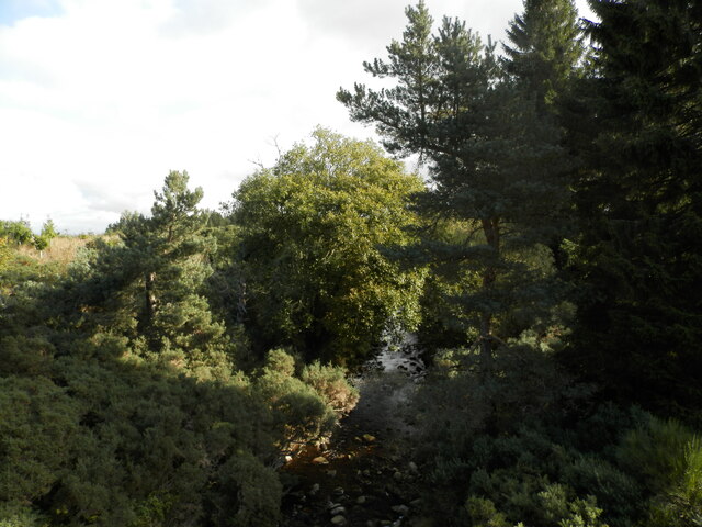
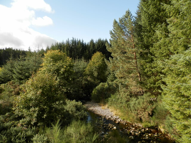
The River Nairn, flowing through the village, offers excellent opportunities for fishing enthusiasts, with trout and salmon being the most sought-after catches. The scenic riverbanks also provide a peaceful environment for leisurely walks and picnics.
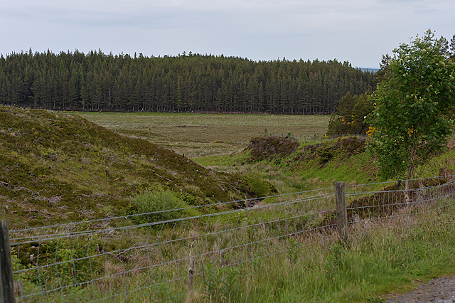
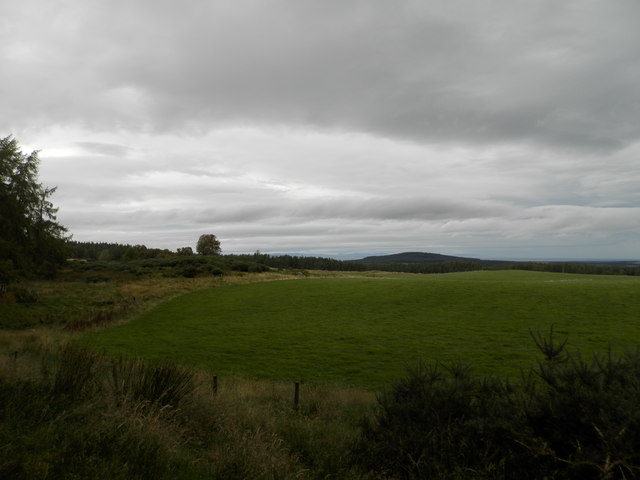
Highland Boath is surrounded by rich agricultural land, and farming has been a significant part of the local economy for generations. The rolling hills and fertile fields create a picturesque backdrop that is appreciated by both locals and tourists.
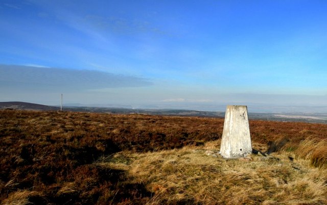
The village's proximity to the Cairngorms National Park makes it an ideal base for exploring the stunning Scottish Highlands. Outdoor enthusiasts can enjoy activities such as hiking, mountain biking, and birdwatching in the nearby park.
With its natural beauty, friendly community, and convenient location, Highland Boath offers a charming escape from the hustle and bustle of city life. Whether you are seeking tranquility, outdoor adventures, or a sense of community, this quaint village has something to offer.
If you have any feedback on the listing, please let us know in the comments section below.
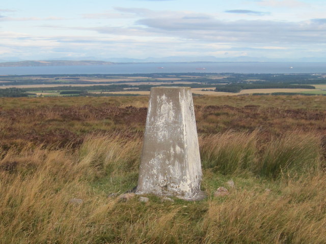
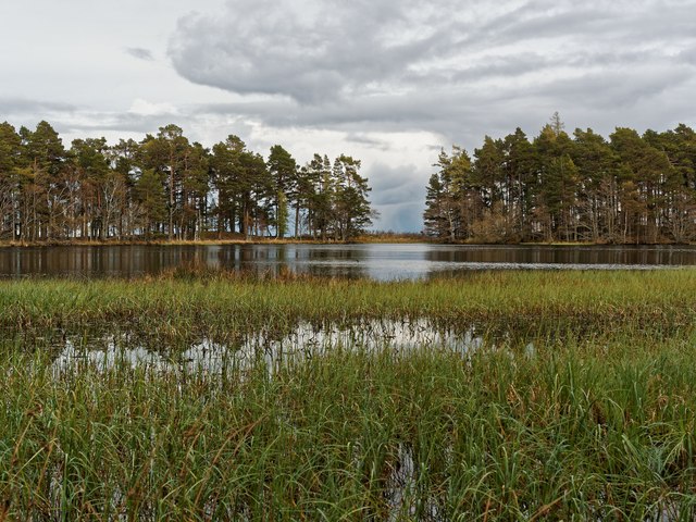
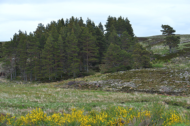
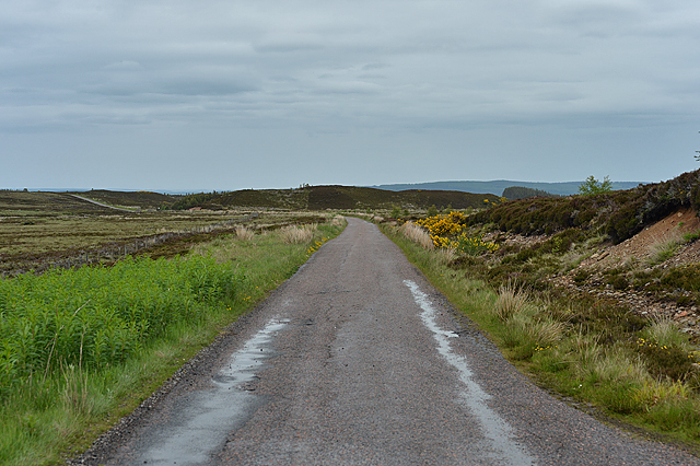
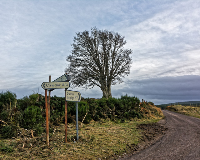
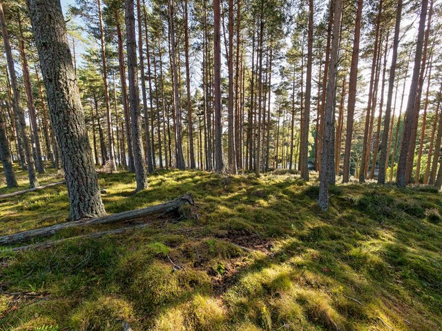
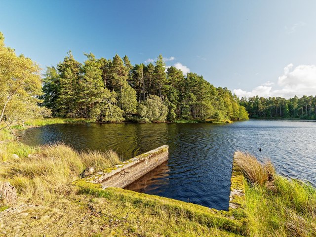
Highland Boath Images
Images are sourced within 2km of 57.472383/-3.869147 or Grid Reference NH8844. Thanks to Geograph Open Source API. All images are credited.
Highland Boath is located at Grid Ref: NH8844 (Lat: 57.472383, Lng: -3.869147)
Unitary Authority: Highland
Police Authority: Highlands and Islands
What 3 Words
///starring.homelands.remix. Near Nairn, Highland
Nearby Locations
Related Wikis

County of Nairn
The County of Nairn (also called Nairnshire) (Scottish Gaelic: Siorrachd Inbhir Narann) is a historic county, registration county and lieutenancy area...

Dunearn
Dunearn is a hill fort located 15 kilometres (9.3 mi) south south east of Nairn in Highland, Scotland. It is situated on a steep-sided hill called Doune...

Cawdor
Cawdor (Scottish Gaelic: Caladair) is a village and parish in the Highland council area, Scotland. The village is 5 miles (8 kilometres) south-southwest...
Dun Evan
Dun Evan or the Doune of Cawdor is a hill fort located 2.5 kilometres (1.6 mi) south west of Cawdor in the Highland area of Scotland. It is situated on...
Culcharry
Culcharry is a small residential settlement, close to the village of Cawdor and the hamlet of Brackla, lying 4 miles southwest of Nairn, in Nairnshire...

Cawdor Castle
Cawdor Castle is a castle in the parish of Cawdor in Nairnshire, Scotland. It is built around a 15th-century tower house, with substantial additions in...
Piperhill
Piperhill is a village, located four miles south of Nairn in Nairnshire, Scottish Highlands and is in the Scottish council area of Highland.

Ardclach
Ardclach (Gaelic: Àird Chlach) is a small crofting hamlet, close to Glenferness in the old county of Nairn, Scotland, within the Scottish council area...
Nearby Amenities
Located within 500m of 57.472383,-3.869147Have you been to Highland Boath?
Leave your review of Highland Boath below (or comments, questions and feedback).