Balmalloch

Settlement in Stirlingshire

Scotland

Balmalloch

Rough grazing on Garrel Hill The going is tough here, and gets worse further up. The mapped paths exist only on older maps, but there is a reasonable one on the ridge.
Rough grazing on Garrel Hill Credit: Richard Webb

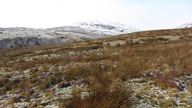
Balmalloch is a small village located in the Stirlingshire region of Scotland. Situated approximately 6 miles northwest of the town of Kilsyth, Balmalloch sits on the eastern slopes of the Kilsyth Hills, offering picturesque views of the surrounding countryside.

The village is known for its peaceful and rural setting, making it an ideal destination for those seeking a tranquil retreat. Balmalloch is characterized by its traditional Scottish architecture, with many of its buildings dating back to the 19th century and earlier. The village is home to a small but close-knit community, known for their friendly and welcoming nature.

The landscape surrounding Balmalloch is dominated by rolling hills, forests, and farmland, making it a haven for outdoor enthusiasts. The area offers numerous walking and hiking trails, including the popular Balmalloch Circuit, which provides stunning views of the surrounding countryside.

Despite its rural setting, Balmalloch enjoys convenient access to nearby amenities. The nearby town of Kilsyth offers a range of shops, restaurants, and services, ensuring residents have easy access to everyday necessities.

Overall, Balmalloch is a charming village that offers a peaceful and idyllic lifestyle for its residents. With its picturesque setting, friendly community, and easy access to amenities, Balmalloch is a hidden gem in the Stirlingshire region of Scotland.

If you have any feedback on the listing, please let us know in the comments section below.
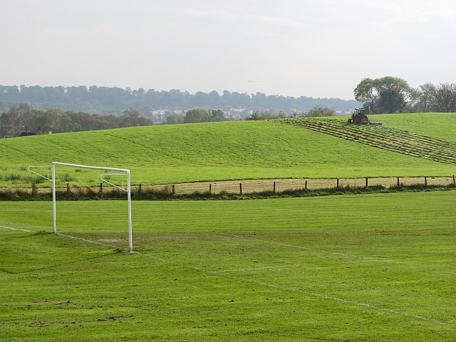
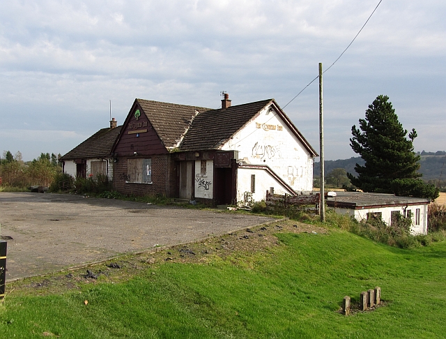
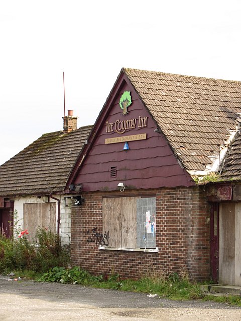
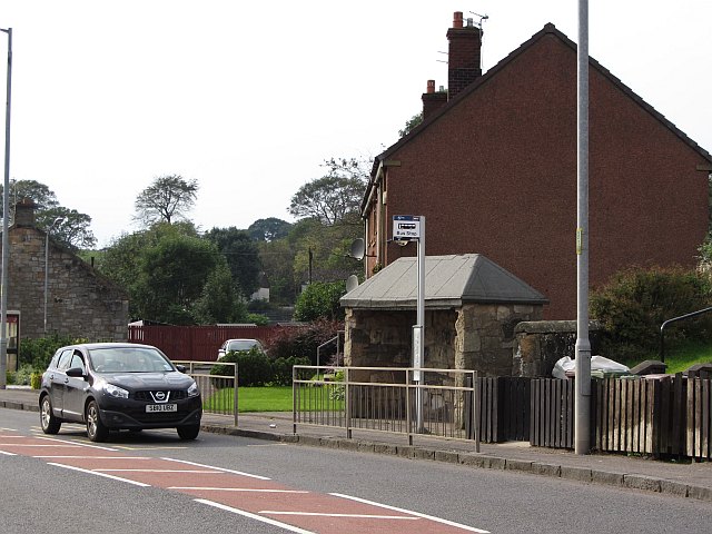
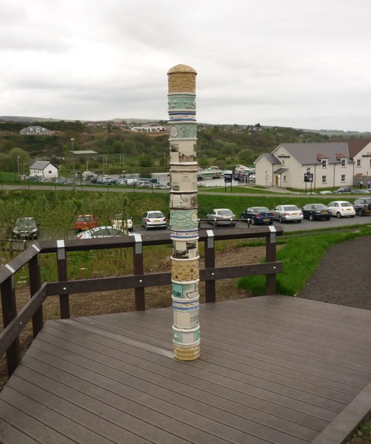
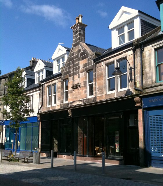
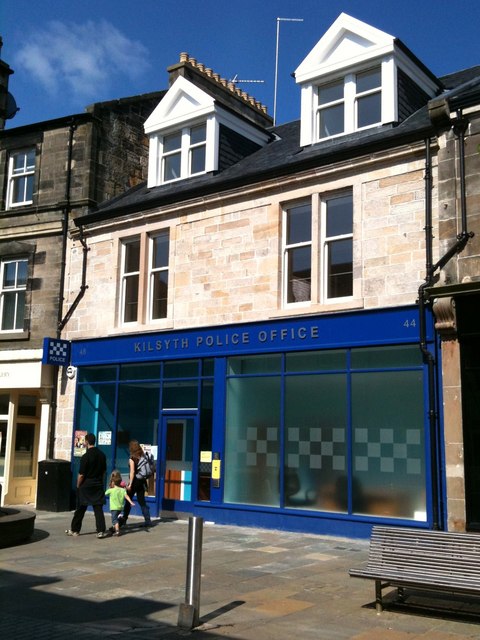
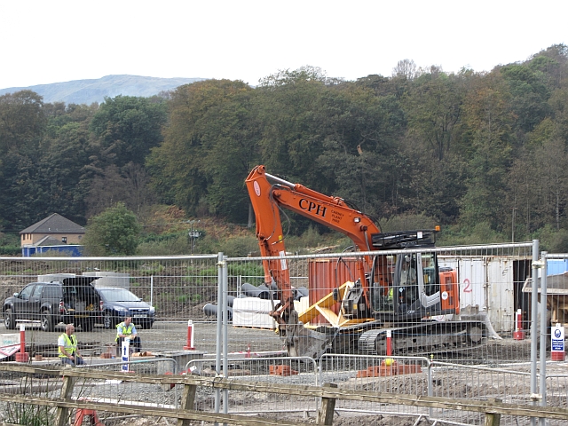
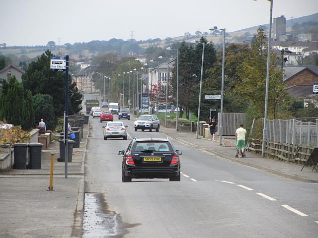
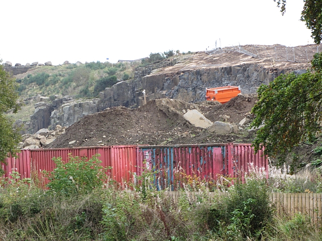
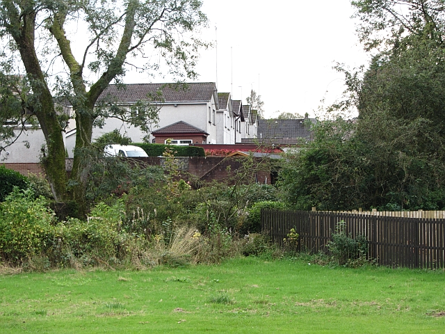
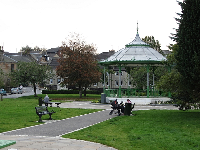
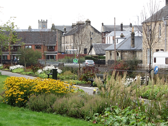
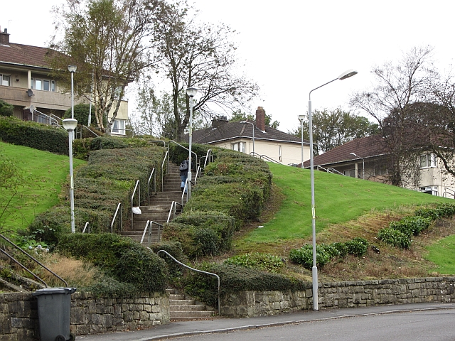
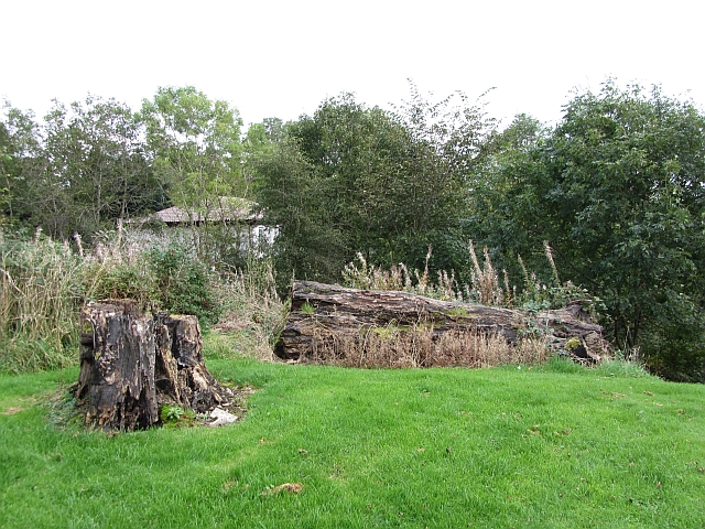
Balmalloch Images

Images are sourced within 2km of 55.97864/-4.064062 or Grid Reference NS7178. Thanks to Geograph Open Source API. All images are credited.

Rough grazing on Garrel Hill The going is tough here, and gets worse further up. The mapped paths exist only on older maps, but there is a reasonable one on the ridge.
Rough grazing on Garrel Hill
The going is tough here, and gets worse further up. The mapped paths exist only on older maps, but there is a reasonable one on the ridge.
Mowing grass Cutting grass for winter fodder, a view over the football park at Queenzieburn.
Mowing grass
Cutting grass for winter fodder, a view over the football park at Queenzieburn.
The Beacon Still derelict, a former public house.
The Beacon
Still derelict, a former public house.
The Beacon Derelict pub, Queenzieburn.
The Beacon
Derelict pub, Queenzieburn.
Bus stop, Queenzieburn A bus stop on Kilsyth Road.
Bus stop, Queenzieburn
A bus stop on Kilsyth Road.
Fields, Balcastle Steep ground above Balcastle Road.
Fields, Balcastle
Steep ground above Balcastle Road.
Auchinstarry Totem Pole
White House Building, Main Street (July 2011) This old building has recently been redeveloped.

It spent a few years looking like this <a title="www.geograph.org.uk/photo/1719580" href="https://www.geograph.org.uk/photo/1719580">Link</a>
White House Building, Main Street (July 2011)
This old building has recently been redeveloped. It spent a few years looking like this Link
Kilsyth Police Office Kilsyth's new police office.
The old one is currently up for sale.
Kilsyth Police Office
Kilsyth's new police office. The old one is currently up for sale.
Building site, Stirling Road New houses being built in Kilsyth.
Building site, Stirling Road
New houses being built in Kilsyth.
Stirling Road, Kilsyth Westward view.
Stirling Road, Kilsyth
Westward view.
Barrwood Quarry There is a lot of work going on in the quarry right now. Possibly landscaping associated with the neighbouring new housing development.
Barrwood Quarry
There is a lot of work going on in the quarry right now. Possibly landscaping associated with the neighbouring new housing development.
Ebroch Drive The back of houses on Ebroch Drive.
Ebroch Drive
The back of houses on Ebroch Drive.
Bandstand, Burngreen A small park between two burns (one the River Kelvin) in Kilsyth.
Bandstand, Burngreen
A small park between two burns (one the River Kelvin) in Kilsyth.
Burngreen Park in Kilsyth seen on a very hot day.
Burngreen
Park in Kilsyth seen on a very hot day.
Steps, Belmont Street A flight of steps form a short cut towards Kilsyth town centre from a residential area on a hillside.
Steps, Belmont Street
A flight of steps form a short cut towards Kilsyth town centre from a residential area on a hillside.
Park, Westfield A rotting tree in a small open space near the old railway line.
Park, Westfield
A rotting tree in a small open space near the old railway line.
Gateside Avenue Residential area above Kilsyth.
Gateside Avenue
Residential area above Kilsyth.
Show me another place!

Balmalloch is located at Grid Ref: NS7178 (Lat: 55.97864, Lng: -4.064062)

Unitary Authority: North Lanarkshire

Police Authority: Lanarkshire

What 3 Words

///limelight.screaming.insiders. Near Kilsyth, North Lanarkshire

Related Wikis

Kilsyth railway station

Kilsyth Old station served the town of Kilsyth in Scotland. It was the original terminus of the Kelvin Valley Railway. == History == The station opened...

Kilsyth Rangers F.C.

Kilsyth Rangers Football Club are a Scottish football club based in the town of Kilsyth, North Lanarkshire. Nicknamed The Wee Gers, they were formed in...

Kilsyth

Kilsyth (; Scottish Gaelic Cill Saidhe) is a town and civil parish in North Lanarkshire, roughly halfway between Glasgow and Stirling in Scotland. The...

Kilsyth Victoria Cottage Hospital

Kilsyth Victoria Cottage Hospital is a health facility in Glasgow Road, Kilsyth, North Lanarkshire, Scotland. It is managed by NHS Lanarkshire. == History... ==

Nearby Amenities

Located within 500m of 55.97864,-4.064062
Mini Roundabout
Direction: clockwise
Lat/Long: 55.9774532/-4.0678347
Fuel
Duncansfield
Addr Postcode: G65 9AE
Brand: Shell
Brand Wikidata: Q110716465
Operator: Eurogarages
Phone: +44 1236 827277
Ref Navads: NVDS353_10019450
Website: https://find.shell.com/gb/fuel/10019450-eg-duncansfield-service-station
Lat/Long: 55.9773325/-4.0670926
Crossing
Crossing: traffic_signals
Lat/Long: 55.9770326/-4.0594509
Crossing
Crossing: traffic_signals
Crossing Island: no
Lat/Long: 55.9784553/-4.0574485
Crossing
Crossing: traffic_signals
Lat/Long: 55.9772457/-4.0686843
Recycling
Recycling Clothes: yes
Source: survey
Lat/Long: 55.9778786/-4.0618066
Balmalloch
Place: suburb
Lat/Long: 55.9793395/-4.0656355
High Balmalloch
Place: suburb
Lat/Long: 55.9820565/-4.0647422
Give Way
Direction: backward
Lat/Long: 55.9775285/-4.0678928
Cafe
Cafe Refresh
Addr City: Kilsyth
Addr Street: Main Street
Internet Access: yes
Source: survey
Lat/Long: 55.9778841/-4.0570909
The Original Factory Shop
Brand Wikidata: Q7755366
Shop: yes
Source: survey
Lat/Long: 55.9774228/-4.0587709
Kilsyth Junction
Historic Railway: junction
Railway: site
Lat/Long: 55.9770019/-4.0661728
Barrier: bollard
Source: survey
Lat/Long: 55.9791561/-4.07182
Post Box
Source: survey
Lat/Long: 55.979548/-4.0700192
Post Box
Source: survey
Lat/Long: 55.9791554/-4.0626847
Crossing
Crossing: traffic_signals
Crossing Island: no
Tactile Paving: yes
Lat/Long: 55.9778608/-4.0649481
Crossing
Crossing: traffic_signals
Lat/Long: 55.9769392/-4.0595144
Man Made: tower
Tower Type: communication
Lat/Long: 55.9774925/-4.0613662
Ladbrokes
Brand: Ladbrokes
Brand Wikidata: Q1799875
Brand Wikipedia: en:Ladbrokes Coral
Shop: bookmaker
Lat/Long: 55.9776485/-4.0578416
Crossing
Crossing: marked
Lat/Long: 55.9764193/-4.0602457
Crossing
Crossing: marked
Lat/Long: 55.9763656/-4.060401
Crossing
Crossing: marked
Lat/Long: 55.9764731/-4.0608065
Crossing
Crossing: marked
Lat/Long: 55.9763702/-4.0606503
Atm
Operator: TSB
Lat/Long: 55.9775487/-4.0580562
Post Box
Lat/Long: 55.978065/-4.0574513
Bank
Lat/Long: 55.977572/-4.0580857
Boots
Brand: Boots
Brand Wikidata: Q6123139
Shop: chemist
Website: https://www.boots.com/stores/856-kilsyth-marketcross-g65-0hl
Lat/Long: 55.977608/-4.0579771
Post Office
Kilsyth Post Office
Addr City: Kilsyth
Addr Country: GB
Addr Housenumber: 2
Addr Postcode: G65 0NH
Addr Street: Backbrae Street
Brand: Post Office
Brand Wikidata: Q1783168
Contact Website: https://www.postoffice.co.uk/branch-finder/2548550/kilsyth
Opening Hours: Mo-Fr 09:00-17:30; Sa 09:00-14:00
Ref Pol Id: 133360
Lat/Long: 55.977482/-4.0572327
Charging Station
Lat/Long: 55.9770865/-4.0577088
Bus Stop
Kilsyth, Glasgow Road opp Ashlea
Bus: yes
Departures Board: timetable
Naptan AtcoCode: 61601410
Naptan NaptanCode: 65236437
Public Transport: platform
Shelter: yes
Lat/Long: 55.9773255/-4.068497
Bus Stop
Kilsyth, Glasgow Road before Victoria Park
Bus: yes
Departures Board: timetable
Naptan AtcoCode: 61601409
Naptan NaptanCode: 65237247
Public Transport: platform
Shelter: no
Lat/Long: 55.9771453/-4.0690426
Kilsyth Old
Historic Railway: station
Railway: site
Wikidata: Q6408220
Wikipedia: en:Kilsyth railway station
Lat/Long: 55.978078/-4.0611897
Bus Stop
Kilsyth Balmalloch Road opp St Andrews Place
Bus: yes
Naptan AtcoCode: 61601783
Naptan NaptanCode: 65238465
Public Transport: platform
Shelter: no
Lat/Long: 55.9809529/-4.0686681
Bus Stop
Kilsyth Balmalloch Road after St Andrews Place
Bus: yes
Departures Board: timetable
Naptan AtcoCode: 61601426
Naptan NaptanCode: 65235763
Public Transport: platform
Shelter: yes
Lat/Long: 55.9810453/-4.0686482
Bus Stop
Kilsyth, Balmalloch Road before Anderson Avenue
Bus: yes
Departures Board: timetable
Naptan AtcoCode: 61601427
Naptan NaptanCode: 65232528
Public Transport: platform
Shelter: yes
Lat/Long: 55.981691/-4.0697402
Bus Stop
Kilsyth, Balmalloch Road before Livingstone Park
Bus: yes
Naptan AtcoCode: 61601784
Naptan NaptanCode: 65238367
Public Transport: platform
Shelter: no
Lat/Long: 55.9817783/-4.0697356
Bus Stop
Kilsyth, Balmalloch Road after Livingstone Park
Bus: yes
Departures Board: timetable
Naptan AtcoCode: 61601430
Naptan NaptanCode: 65236395
Public Transport: platform
Shelter: no
Lat/Long: 55.9822773/-4.0668914
Bus Stop
Kilsyth, Livingston Park before Balmalloch Road
Bus: yes
Departures Board: timetable
Naptan AtcoCode: 61601429
Naptan NaptanCode: 65236973
Public Transport: platform
Shelter: yes
Lat/Long: 55.9824415/-4.06571
Bus Stop
Kilsyth, Arden Grove at 10 Arden Grove
Bus: yes
Departures Board: timetable
Naptan AtcoCode: 61601778
Naptan NaptanCode: 65238545
Public Transport: platform
Shelter: no
Lat/Long: 55.983033/-4.0648732
Bus Stop
Kilsyth, Arden Grove at 15 Arden Grove
Bus: yes
Departures Board: timetable
Naptan AtcoCode: 61601777
Naptan NaptanCode: 65238625
Public Transport: platform
Shelter: no
Lat/Long: 55.9831207/-4.064735
Bus Stop
Kilsyth, Parkburn Road after Kingston Flats
Bus: yes
Departures Board: timetable
Naptan AtcoCode: 61601775
Naptan NaptanCode: 65238926
Public Transport: platform
Lat/Long: 55.9796705/-4.056935
Bus Stop
Kilsyth, Parkburn Road before Kingston Flats
Bus: yes
Departures Board: timetable
Naptan AtcoCode: 61601776
Naptan NaptanCode: 65238964
Public Transport: platform
Lat/Long: 55.9796479/-4.0568012
Bus Stop
Kilsyth, Kingston Road before Parkburn Road
Bus: yes
Departures Board: timetable
Naptan AtcoCode: 61601433
Naptan NaptanCode: 65234275
Public Transport: platform
Shelter: yes
Lat/Long: 55.9785786/-4.0568888
Bus Stop
Kilsyth, Parkfoot Street after Main Street
Bus: yes
Departures Board: timetable
Naptan AtcoCode: 61601432
Naptan NaptanCode: 65235465
Public Transport: platform
Shelter: yes
Lat/Long: 55.9785414/-4.0590124
Bus Stop
Kilsyth, Parkfoot Street opp Police Station
Bus: yes
Departures Board: timetable
Naptan AtcoCode: 61601431
Naptan NaptanCode: 65235292
Public Transport: platform
Shelter: no
Lat/Long: 55.978673/-4.0590826
Bus Stop
Kilsyth, Glasgow Road opp Garrell Vale Community Centre
Bench: yes
Bin: no
Bus: yes
Departures Board: timetable
Naptan AtcoCode: 61601407
Naptan NaptanCode: 65234694
Public Transport: platform
Shelter: yes
Lat/Long: 55.978066/-4.0639792
Bus Stop
Kilsyth, Glasgow Road at Garrell Vale Community Centre
Bench: yes
Bus: yes
Departures Board: timetable
Naptan AtcoCode: 61601408
Naptan NaptanCode: 65235682
Public Transport: platform
Shelter: yes
Lat/Long: 55.977754/-4.0653398
Generator Method: photovoltaic
Generator Output Electricity: yes
Generator Source: solar
Generator Type: solar_photovoltaic_panel
Power: generator
Lat/Long: 55.975717/-4.0580545
Bus Stop
Kilsyth, Airdrie Road opp Kilsyth Swimming Pool
Bus: yes
Departures Board: timetable
Naptan AtcoCode: 61601405
Naptan NaptanCode: 65232783
Public Transport: platform
Shelter: yes
Lat/Long: 55.9779593/-4.0601202
Bus Stop
Kilsyth, Airdrie Road at Kilsyth Swimming Pool
Bus: yes
Departures Board: timetable
Naptan AtcoCode: 61601404
Naptan NaptanCode: 65234256
Public Transport: platform
Shelter: yes
Lat/Long: 55.9777899/-4.0604353
Bus Stop
Kilsyth, Balmalloch Road before Corrie Road
Bus: yes
Departures Board: timetable
Naptan AtcoCode: 61601417
Naptan NaptanCode: 65234642
Public Transport: platform
Shelter: yes
Lat/Long: 55.9785324/-4.0688883
Bus Stop
Kilsyth, Balmalloch Road before Westfield Road
Bus: yes
Departures Board: timetable
Naptan AtcoCode: 61601418
Naptan NaptanCode: 65236359
Public Transport: platform
Shelter: no
Lat/Long: 55.9787622/-4.0694125
Bus Stop
Kilsyth, Corrie Brae after Montrose Gardens
Bus: yes
Departures Board: timetable
Naptan AtcoCode: 61601803
Naptan NaptanCode: 65239524
Public Transport: platform
Shelter: no
Lat/Long: 55.9786045/-4.0670526
Bus Stop
Kilsyth, Kelvin Way at 42 Kelvin Way
Bus: yes
Departures Board: timetable
Naptan AtcoCode: 61601804
Naptan NaptanCode: 65239525
Public Transport: platform
Shelter: no
Lat/Long: 55.97926/-4.0626521
Bus Stop
Kilsyth, Kelvin Way before Belmont Street
Bus: yes
Departures Board: no
Naptan AtcoCode: 61601965
Naptan NaptanCode: 65296496
Public Transport: platform
Shelter: no
Lat/Long: 55.9791885/-4.0626198
Bus Stop
Kilsyth, Kelvin Way opp Elgin Place
Bus: yes
Departures Board: timetable
Naptan AtcoCode: 61601805
Naptan NaptanCode: 65239526
Public Transport: platform
Shelter: no
Lat/Long: 55.9803248/-4.0602772
Bus Stop
Kilsyth, Kelvin Way at Elgin Place
Bus: yes
Departures Board: no
Naptan AtcoCode: 61601966
Naptan NaptanCode: 65296497
Public Transport: platform
Shelter: no
Lat/Long: 55.98026/-4.0602348
Bus Stop
Kilsyth, Kingsway before Belmont Street
Bus: yes
Naptan AtcoCode: 61601806
Naptan NaptanCode: 65239529
Public Transport: platform
Shelter: no
Lat/Long: 55.9803317/-4.0586865
Bus Stop
Kilsyth, Kingsway after Belmont Street
Bus: yes
Naptan AtcoCode: 61601967
Naptan NaptanCode: 65296489
Public Transport: platform
Shelter: no
Lat/Long: 55.9803083/-4.0587941
Give Way
Direction: forward
Lat/Long: 55.9774042/-4.0679436
Give Way
Direction: backward
Lat/Long: 55.9774565/-4.0676659
Give Way
Direction: forward
Lat/Long: 55.9785055/-4.0603991
Give Way
Direction: forward
Lat/Long: 55.9785242/-4.0607773
Give Way
Direction: forward
Lat/Long: 55.9783239/-4.0606177
The data included in this document is from www.openstreetmap.org. The data is made available under ODbL.

Have you been to Balmalloch?

Leave your review of Balmalloch below (or comments, questions and feedback).