Balmalcolm

Settlement in Fife

Scotland

Balmalcolm

The Pitlessie Road The Pitlessie Road heading west towards Ladybank near The Common.
The Pitlessie Road Credit: Scott Cormie

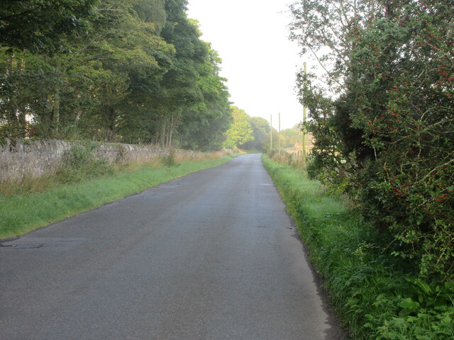
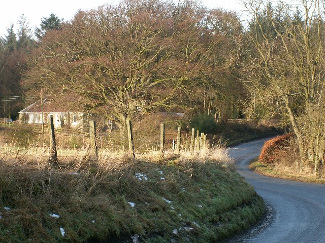
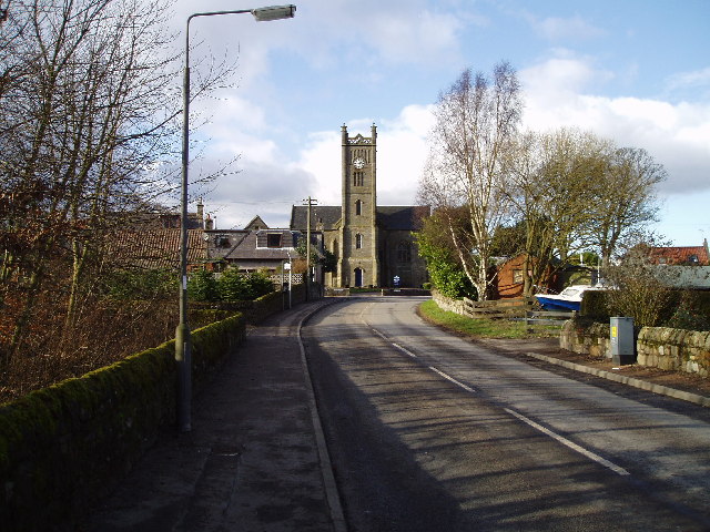
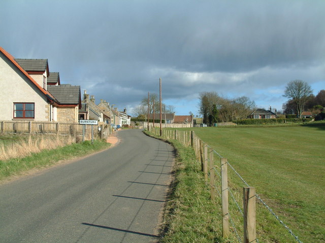
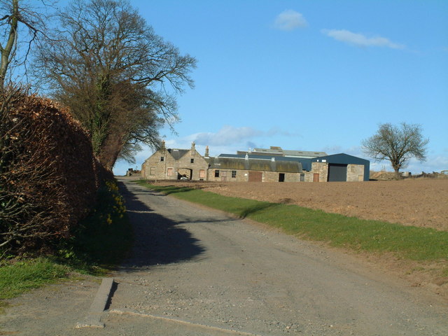
Balmalcolm is a small village located in the county of Fife, Scotland. Situated approximately 5 miles northwest of Cupar, it is surrounded by picturesque countryside and rolling hills. The village is part of the parish of Dunbog and lies just off the A91 road, providing easy access to nearby towns and cities.

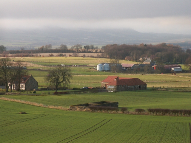
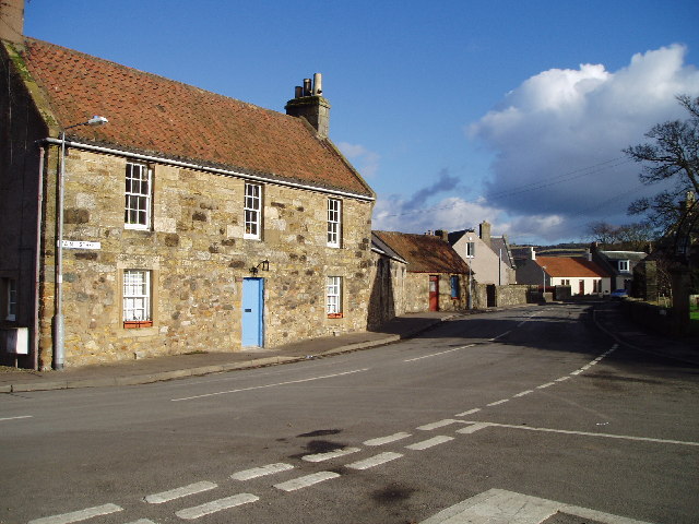
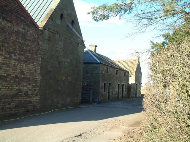
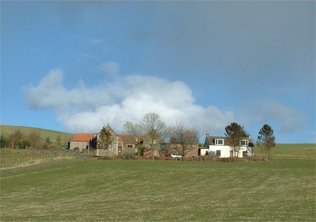
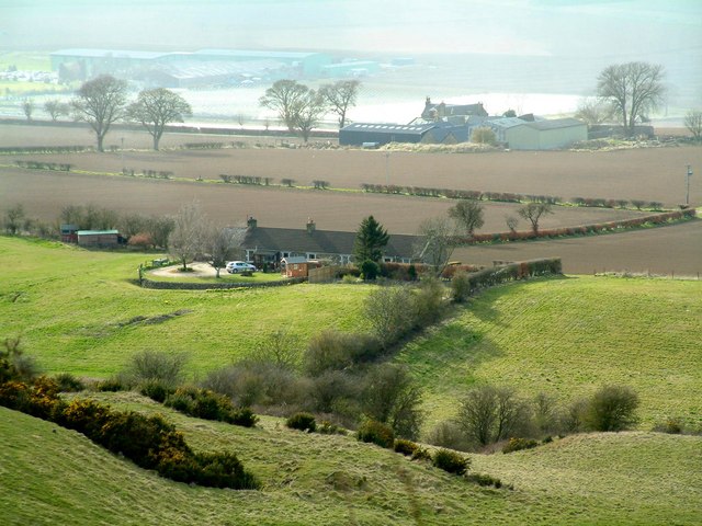
With a population of around 200 residents, Balmalcolm is a close-knit community that offers a peaceful and tranquil lifestyle. The village is characterized by its charming rural setting, featuring traditional stone-built cottages and farmhouses. The surrounding landscape is predominantly agricultural, with fields of crops and grazing livestock dotting the countryside.

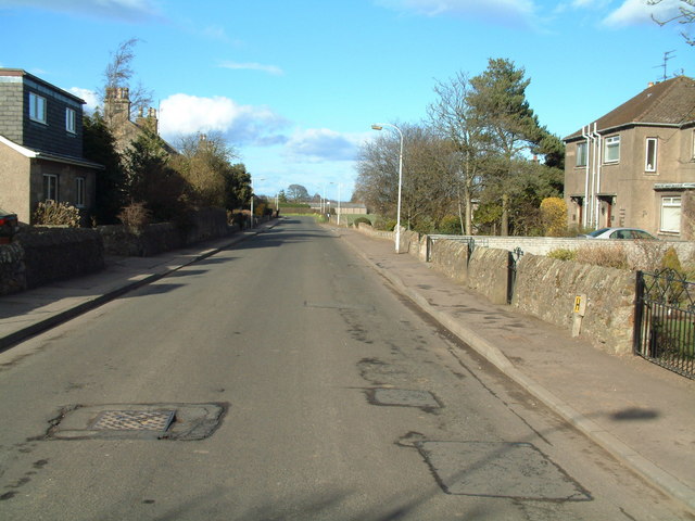
Balmalcolm is well-connected to the larger towns and cities in the area. The nearby town of Cupar provides a range of amenities, including shops, supermarkets, schools, and healthcare facilities. The village also benefits from good transport links, with regular bus services connecting it to surrounding areas.

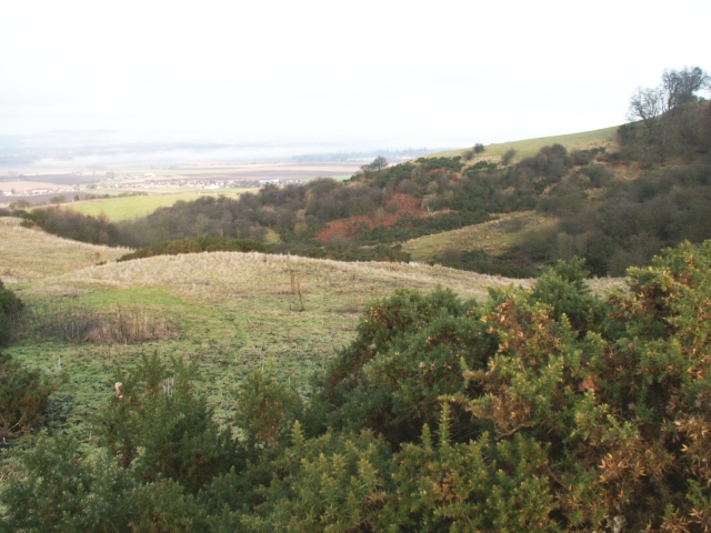
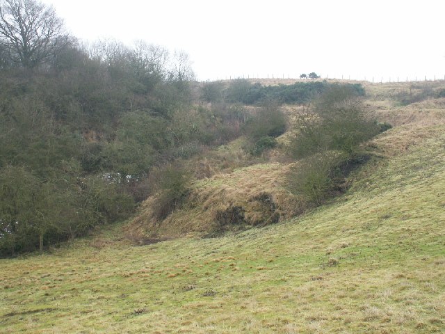
Outdoor enthusiasts will find plenty to enjoy in Balmalcolm, with numerous walking and cycling routes in the vicinity. The village is also within easy reach of the Lomond Hills Regional Park, offering opportunities for hiking, wildlife spotting, and enjoying panoramic views of the surrounding countryside.

In summary, Balmalcolm is a quaint and idyllic village located in the heart of Fife. Its peaceful charm, rural setting, and convenient location make it an attractive place to live for those seeking a tranquil lifestyle within easy reach of amenities and natural beauty.

If you have any feedback on the listing, please let us know in the comments section below.

Balmalcolm Images

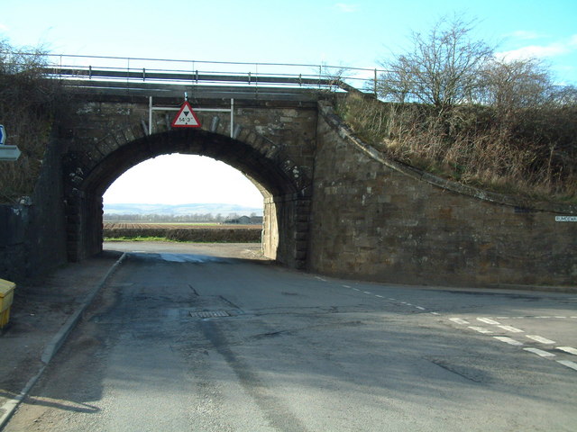
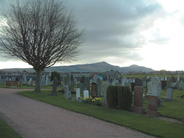
Images are sourced within 2km of 56.263317/-3.100507 or Grid Reference NO3108. Thanks to Geograph Open Source API. All images are credited.

The Pitlessie Road The Pitlessie Road heading west towards Ladybank near The Common.
The Pitlessie Road
The Pitlessie Road heading west towards Ladybank near The Common.
Former maltings at Pitlessie The buildings have now been converted into residential property
Former maltings at Pitlessie
The buildings have now been converted into residential property
Kettlehill Farm Looking out SW across the square. The mist covered Lomonds in the background.
Kettlehill Farm
Looking out SW across the square. The mist covered Lomonds in the background.
Burnside by Burnturk A steep hillside cut by this small burn. Looking North towards Pitlessie.
Burnside by Burnturk
A steep hillside cut by this small burn. Looking North towards Pitlessie.
Old workings by a burn High up on the burnside these old workings of some sort are grown over. An old road line can be seen above.
Old workings by a burn
High up on the burnside these old workings of some sort are grown over. An old road line can be seen above.
By Middlefield Midway between Rameldry Farm and Middlefield cross roads
By Middlefield
Midway between Rameldry Farm and Middlefield cross roads
Howe of Fife Parish Church, Kingskettle View west along main road towards the church which stands on the western edge of this grid square, The church was built in 1853 and is a very fine and attractive building which can be seen from afar and which lies within a very attractive small village.
Howe of Fife Parish Church, Kingskettle
View west along main road towards the church which stands on the western edge of this grid square, The church was built in 1853 and is a very fine and attractive building which can be seen from afar and which lies within a very attractive small village.
Kingskettle An attractive village in Fife locally known as Kettle which developed in an area which once belonged to the Crown and where an unrecorded battle or Cathel took place, this is how the name Kingskettle came about. The village developed in the 19th century with the opening of the turnpike road and with the development of mining and weaving.
Kingskettle
An attractive village in Fife locally known as Kettle which developed in an area which once belonged to the Crown and where an unrecorded battle or Cathel took place, this is how the name Kingskettle came about. The village developed in the 19th century with the opening of the turnpike road and with the development of mining and weaving.
Ladybank, Fife Ladybank developed in the late 19th century around a railway junction which is still in use today.
Ladybank, Fife
Ladybank developed in the late 19th century around a railway junction which is still in use today.
Kettlebridge Main street (Rumdewan) in the village of Kettlebridge
Kettlebridge
Main street (Rumdewan) in the village of Kettlebridge
Kettlebridge railway bridge The main line between the Forth Rail Bridge and Tay Rail bridge also crosses this little bridge in Kettlebridge
Kettlebridge railway bridge
The main line between the Forth Rail Bridge and Tay Rail bridge also crosses this little bridge in Kettlebridge
Kingskettle Cemetery The Lomond Hills form the background skyline
Kingskettle Cemetery
The Lomond Hills form the background skyline
Coaltown of Burnturk There are many Fife villages known as 'Coaltown' of this or that. They were originally mining villages, but none of the pits or mines now remain active.
Coaltown of Burnturk
There are many Fife villages known as 'Coaltown' of this or that. They were originally mining villages, but none of the pits or mines now remain active.
Burnturk Farm From the corner of the farm road
Burnturk Farm
From the corner of the farm road
Mill buildings The working part of Ramornie Mill
Mill buildings
The working part of Ramornie Mill
Fronthill Farm Situated a little up Cults Hill from Burnturk
Fronthill Farm
Situated a little up Cults Hill from Burnturk
Burnturk Cottages Situated behind (south-east of) Burnturk Farm, seen in the background
Burnturk Cottages
Situated behind (south-east of) Burnturk Farm, seen in the background
Muirside Wood and fields Farmland between Ladybank and Ramornie Mains
Muirside Wood and fields
Farmland between Ladybank and Ramornie Mains
Show me another place!

Balmalcolm is located at Grid Ref: NO3108 (Lat: 56.263317, Lng: -3.100507)

Unitary Authority: Fife

Police Authority: Fife

What 3 Words

///tunes.boards.fires. Near Kingskettle, Fife

Nearby Locations

Balmalcolm

Related Wikis

Balmalcolm

Balmalcolm is a small village in the Kettle parish of Fife, Scotland. Encompassed by the low-lying Howe of Fife, the village is roughly 5+1⁄2 miles (9...

Kingskettle

Kingskettle or often simply Kettle is a village and parish in Fife, Scotland. Encompassed by the Howe of Fife, the village is approximately 5.5 miles...

Kingskettle railway station

Kingskettle railway station served the village of Kingskettle, Fife, Scotland, from 1847 to 1967 on the Edinburgh and Northern Railway. == History == The...

Ladybank railway station

Ladybank railway station serves the town of Ladybank in Fife, Scotland. == History == The station was opened in 1847 by the Edinburgh and Northern Railway...

Nearby Amenities

Located within 500m of 56.263317,-3.100507
Balmalcolm
Place: hamlet
Lat/Long: 56.2629458/-3.0997561
Power: substation
Substation: minor_distribution
Lat/Long: 56.264788/-3.1011258
Bus Stop
Balmalcolm (Southbound)
Bench: yes
Bin: yes
Bus: yes
Departures Board: timetable
Naptan AtcoCode: 6500N0488
Naptan Bearing: SW
Naptan CommonName: Main Road
Naptan Indicator: SW Bound
Naptan NaptanCode: 34342525
Naptan Street: Cupar Road
Operator: Fife Council
Public Transport: platform
Ref: 34342525
Shelter: yes
Tactile Paving: no
Lat/Long: 56.2630779/-3.0989733
Location: indoor
Power: substation
Substation: minor_distribution
Lat/Long: 56.2654532/-3.0949262
Defibrillator
Booth: KX100
Covered: booth
Defibrillator Location: Back wall of 80s telephone box.
Disused Amenity: telephone
Emergency: defibrillator
Indoor: no
Man Made: telephone_box
Lat/Long: 56.2622549/-3.1005242
Power: pole
Lat/Long: 56.2619725/-3.0982389
Power: pole
Lat/Long: 56.2611038/-3.0977489
Power: pole
Lat/Long: 56.2610212/-3.0977029
Power: pole
Lat/Long: 56.2610419/-3.0964233
Power: pole
Lat/Long: 56.2612958/-3.0954148
Power: pole
Lat/Long: 56.2614513/-3.0948133
Power: pole
Lat/Long: 56.261947/-3.0941505
Power: pole
Lat/Long: 56.2624621/-3.0934549
Power: pole
Lat/Long: 56.2630732/-3.0926433
Power: pole
Lat/Long: 56.2603603/-3.0987814
Power: pole
Lat/Long: 56.2601452/-3.0998423
Power: pole
Lat/Long: 56.2599107/-3.1009732
Material: wood
Power: pole
Lat/Long: 56.2596034/-3.1021829
Material: wood
Power: pole
Lat/Long: 56.2596301/-3.1036988
Bus Stop
Balmalcolm (Northbound)
Bench: no
Bin: no
Bus: yes
Departures Board: timetable
Naptan AtcoCode: 6500N0489
Naptan Bearing: NE
Naptan CommonName: Main Road
Naptan Indicator: NE bound
Naptan NaptanCode: 34342526
Naptan Street: A92
Operator: Fife Council
Public Transport: platform
Ref: 34342526
Shelter: no
Tactile Paving: no
Lat/Long: 56.2624946/-3.1003468
Balmalcolm Borehole
Man Made: water_works
Operator: Scottish Water
Lat/Long: 56.265489/-3.0948422
Post Box
Collection Times: Mo-Fr 09:00; Sa 07:00
Operator: Royal Mail
Post Box Design: LB3426
Post Box Mounting: pier
Post Box Type: lamp
Ref: KY15 304D
Royal Cypher: scottish_crown
Source: survey
Lat/Long: 56.2621867/-3.1006414
The data included in this document is from www.openstreetmap.org. The data is made available under ODbL.

Have you been to Balmalcolm?

Leave your review of Balmalcolm below (or comments, questions and feedback).