Kilsyth
Settlement in Stirlingshire
Scotland
Kilsyth
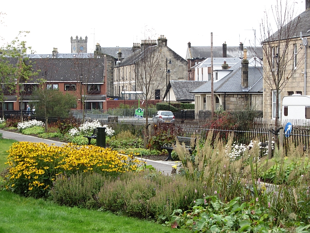
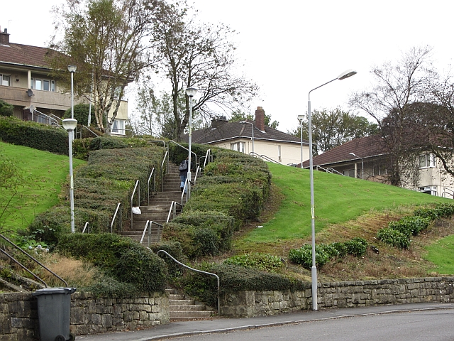
Kilsyth is a historic town located in the county of Stirlingshire, Scotland. Situated at the foot of the Kilsyth Hills, the town is approximately 12 miles northeast of Glasgow and 7 miles southwest of Falkirk. With a population of around 10,000 residents, Kilsyth is known for its picturesque setting and rich history.
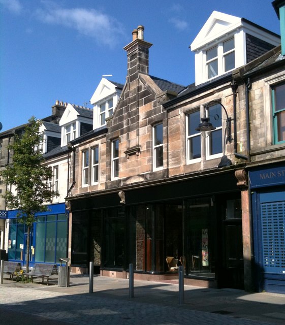
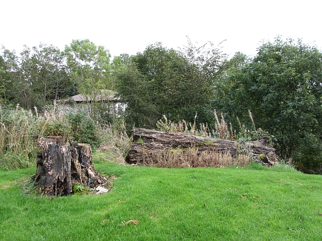
The town's origins date back to the 17th century when it was primarily a coal mining and weaving community. Today, Kilsyth retains much of its traditional charm, with many well-preserved buildings and landmarks showcasing its past. One notable example is the Colzium Lennox Estate, a beautiful country park that was once the home of the Lennox family and now offers scenic walks, gardens, and a visitor center.
Kilsyth is also renowned for its annual festivals and events, such as the Kilsyth International Carnival, which attracts visitors from far and wide. Sports play a prominent role in the town, with various facilities and clubs catering to activities like football, golf, and bowling. The local leisure center offers a range of amenities, including a swimming pool and fitness classes.
In terms of amenities, Kilsyth boasts a variety of shops, restaurants, and pubs, providing residents and visitors with a range of options. The town's location offers easy access to both the stunning countryside and nearby urban centers, making it an attractive place to live for those seeking a mix of rural tranquility and urban convenience.
Overall, Kilsyth is a welcoming town that combines historic charm with modern amenities, making it an appealing destination for both residents and tourists alike.
If you have any feedback on the listing, please let us know in the comments section below.
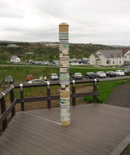
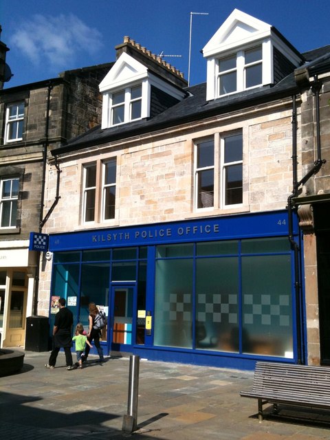
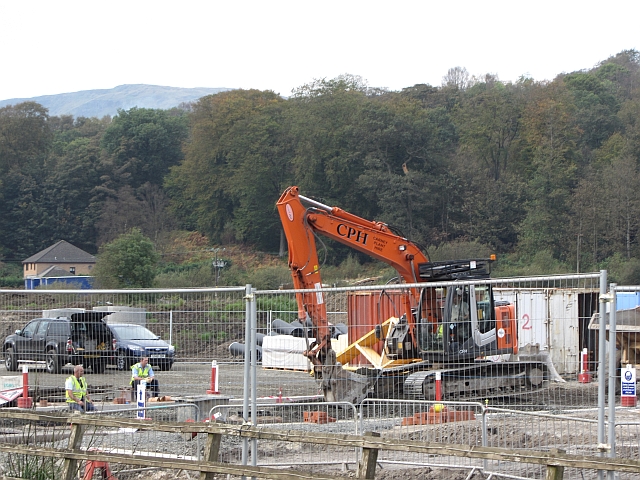
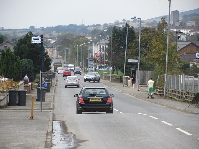
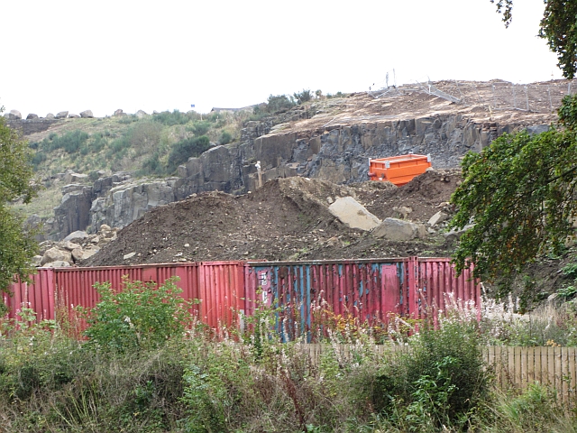
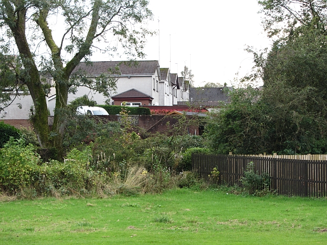
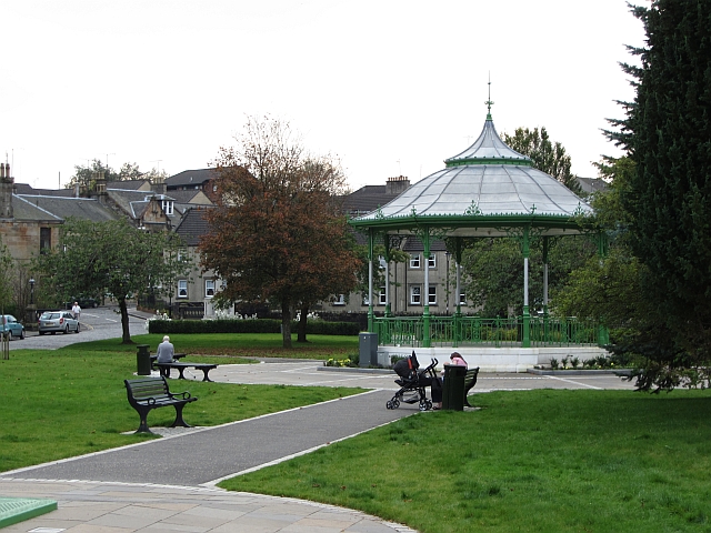
Kilsyth Images
Images are sourced within 2km of 55.978455/-4.057962 or Grid Reference NS7178. Thanks to Geograph Open Source API. All images are credited.


Kilsyth is located at Grid Ref: NS7178 (Lat: 55.978455, Lng: -4.057962)
Unitary Authority: North Lanarkshire
Police Authority: Lanarkshire
What 3 Words
///escape.users.reseller. Near Kilsyth, North Lanarkshire
Nearby Locations
Related Wikis

Kilsyth railway station
Kilsyth Old station served the town of Kilsyth in Scotland. It was the original terminus of the Kelvin Valley Railway. == History == The station opened...

Kilsyth
Kilsyth (; Scottish Gaelic Cill Saidhe) is a town and civil parish in North Lanarkshire, roughly halfway between Glasgow and Stirling in Scotland. The...
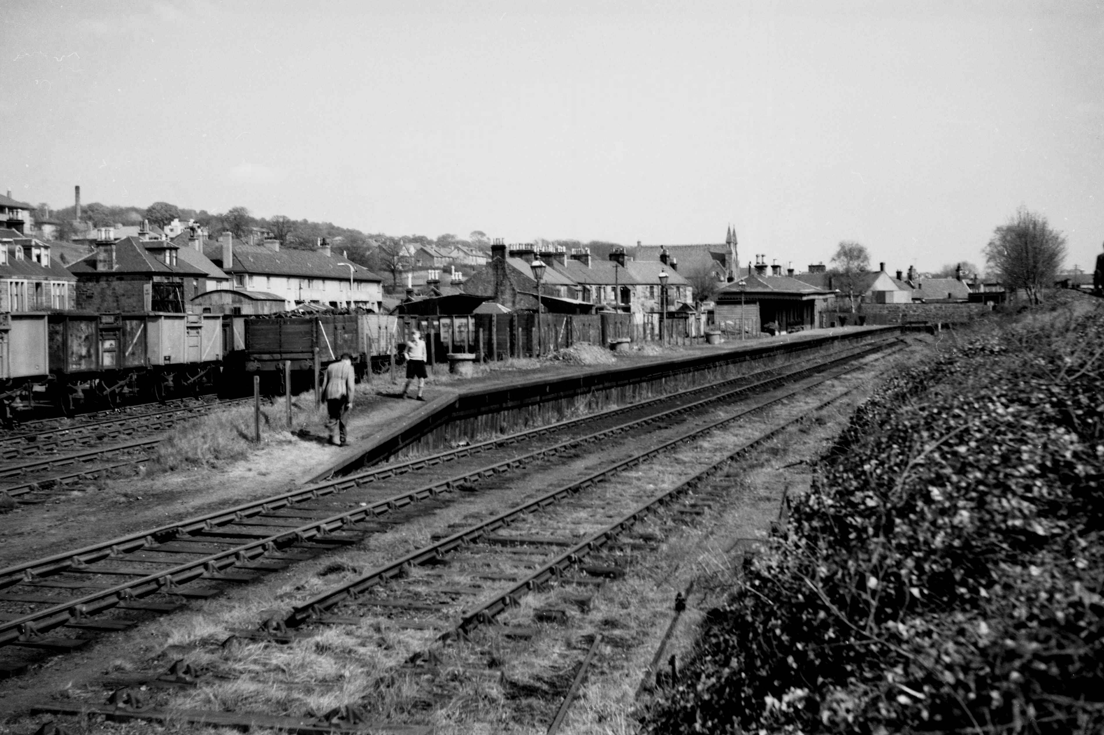
Kilsyth New railway station
Kilsyth New station served the town of Kilsyth in Scotland. The station was on the Kilsyth and Bonnybridge Railway. == History == The station opened on...
Kilsyth Rangers F.C.
Kilsyth Rangers Football Club are a Scottish football club based in the town of Kilsyth, North Lanarkshire. Nicknamed The Wee Gers, they were formed in...
Nearby Amenities
Located within 500m of 55.978455,-4.057962Have you been to Kilsyth?
Leave your review of Kilsyth below (or comments, questions and feedback).