A' Chrannag
Hill, Mountain in Argyllshire
Scotland
A' Chrannag
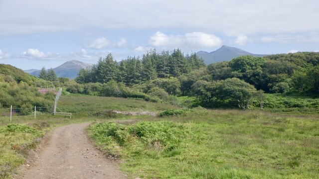
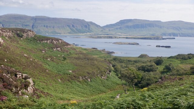
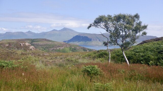
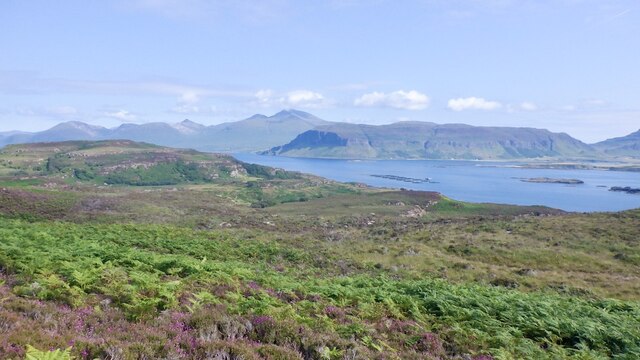
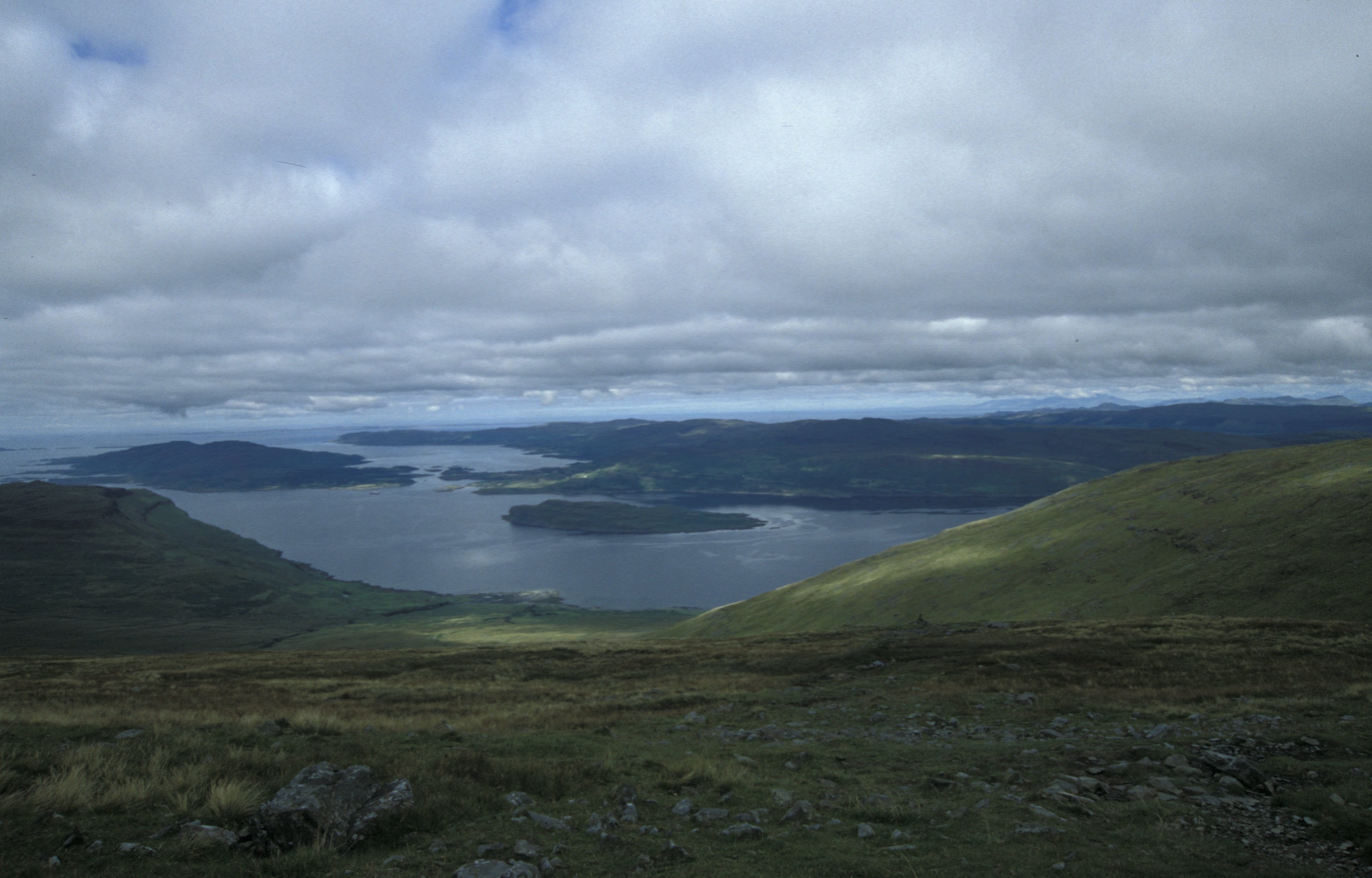
A' Chrannag is a prominent hill located in Argyllshire, Scotland. Standing at an impressive height of 860 meters (2,822 feet), it is considered one of the highest peaks in the region. Situated in the southern part of Argyllshire, A' Chrannag is surrounded by breathtaking natural beauty, offering stunning panoramic views of the surrounding landscape.
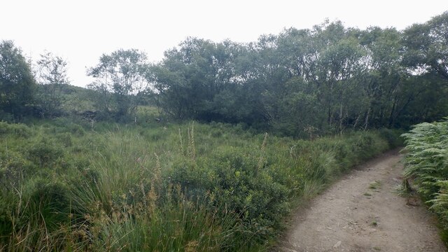
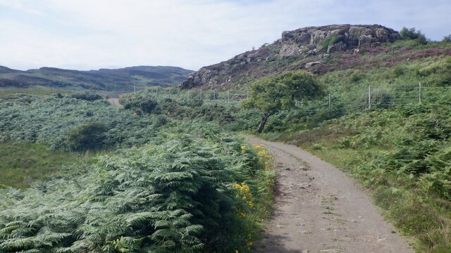
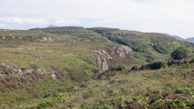
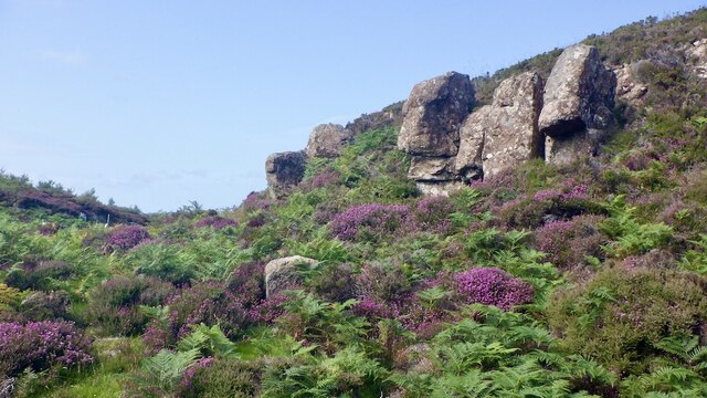
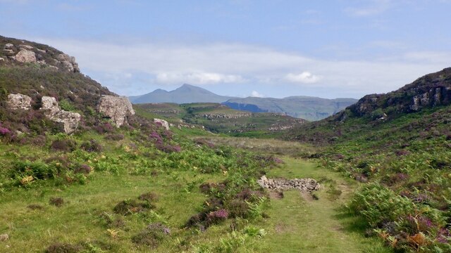
The hill is characterized by its rugged and rocky terrain, with steep slopes that challenge even experienced hikers and climbers. Its summit is adorned with a collection of large boulders, providing a unique and picturesque landscape. The hill is part of an extensive mountain range that stretches across Argyllshire, offering plenty of outdoor activities for nature enthusiasts.
A' Chrannag is a popular destination for hikers, who are drawn to its challenging trails and the opportunity to witness the spectacular vistas from its summit. The ascent can be demanding, but the reward is worth the effort, as on a clear day, one can see the neighboring hills, lochs, and vast stretches of lush greenery.
The hill is also home to a diverse range of flora and fauna. Its slopes are covered in heather and grasses, while its crags provide a habitat for various bird species. It is not uncommon to spot golden eagles soaring overhead or red deer grazing in the surrounding valleys.
Overall, A' Chrannag offers a thrilling and awe-inspiring experience for outdoor enthusiasts, showcasing the raw beauty of the Scottish Highlands.
If you have any feedback on the listing, please let us know in the comments section below.
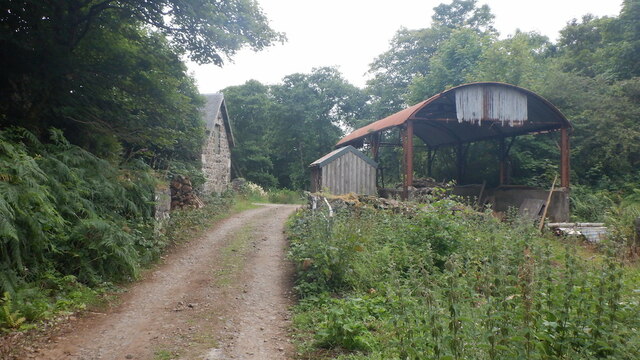
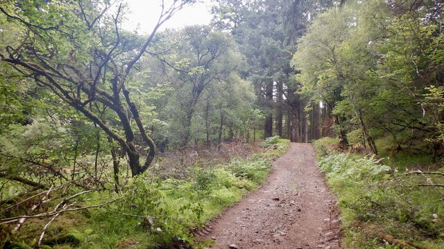
A' Chrannag Images
Images are sourced within 2km of 56.469468/-6.1688003 or Grid Reference NM4338. Thanks to Geograph Open Source API. All images are credited.
A' Chrannag is located at Grid Ref: NM4338 (Lat: 56.469468, Lng: -6.1688003)
Unitary Authority: Argyll and Bute
Police Authority: Argyll and West Dunbartonshire
What 3 Words
///reef.thighs.rugs. Near Dervaig, Argyll & Bute
Nearby Locations
Related Wikis

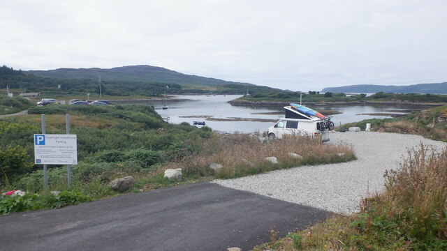
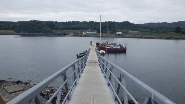
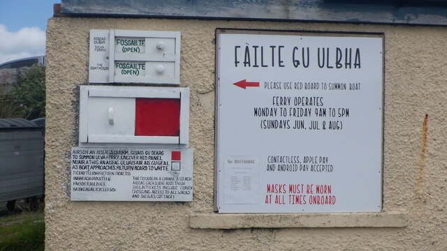
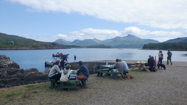
Ulva Ferry
Ulva Ferry (Scottish Gaelic: Caolas Ulbha) is a hamlet on the Hebridean island of Mull, on its west coast. Ulva Ferry is on the shore of Ulva Sound (Caolas...

Ulva
Ulva (; Scottish Gaelic: Ulbha) is a small island in the Inner Hebrides of Scotland, off the west coast of Mull. It is separated from Mull by a narrow...

Samalan Island
Samalan Island is a small island, just off the Isle of Mull at the mouth of Loch na Keal in the Inner Hebrides, Scotland. To its south west is the island...

Inch Kenneth
Inch Kenneth (Scottish Gaelic: Innis Choinnich) is a small grassy island off the west coast of the Isle of Mull, in Scotland. It is at the entrance of...

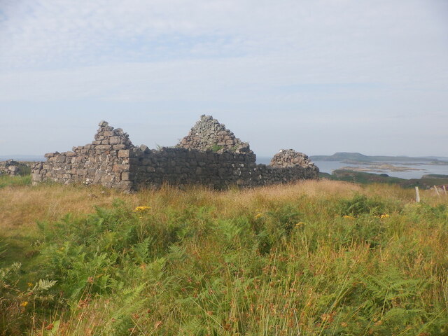
St Kenneth's Chapel
St. Kenneth's Chapel is a ruined chapel on Inch Kenneth Island, Parish of Kilfinichen and Kilvickeon, Isle of Mull, Argyll and Bute, Scotland. It dates...

Loch Tuath
Loch Tuath (Scottish Gaelic: Loch-a-Tuath) is a sea loch in the Inner Hebrides, Scotland that separates the Isle of Mull and the island of Ulva. Loch Tuath...

Eorsa
Eorsa is an uninhabited island in the Inner Hebrides of Scotland. == Geography == Eorsa lies in Loch na Keal on the west coast of the Isle of Mull, to...
Loch na Keal
Loch na Keal (Scottish Gaelic: Loch na Caol), meaning Loch of the Kyle, or Narrows, also Loch of the Cliffs, is the principal sea loch on the western,...
Nearby Amenities
Located within 500m of 56.469468,-6.1688003Have you been to A' Chrannag?
Leave your review of A' Chrannag below (or comments, questions and feedback).