Beinn Tuath
Hill, Mountain in Inverness-shire
Scotland
Beinn Tuath

Beinn Tuath, situated in Inverness-shire, Scotland, is a prominent hill/mountain that stands at an elevation of 907 meters (2,976 feet) above sea level. It is part of the Monadliath Mountains, located approximately 18 kilometers southeast of Inverness, the administrative center of the Scottish Highlands.
Beinn Tuath is characterized by its imposing presence and rugged terrain, comprising steep slopes, craggy cliffs, and rocky outcrops. Its distinctive peak offers breathtaking panoramic views of the surrounding landscape, including the stunning Cairngorms National Park to the southeast.
The hill/mountain is renowned for its rich biodiversity and serves as a home to a variety of flora and fauna. Its slopes are covered with heather and grasses, while the higher altitudes feature sparse vegetation and rocky patches. Wildlife enthusiasts may spot red deer, mountain hares, and ptarmigan inhabiting the area.
Beinn Tuath attracts outdoor enthusiasts and hikers due to its challenging trails and rewarding vistas. Several routes are available for ascending the mountain, catering to different difficulty levels. The most popular route starts from the nearby village of Tomatin, taking hikers through a mixture of woodland, open moorland, and eventually reaching the summit.
While Beinn Tuath offers a thrilling experience for adventure seekers, it is essential to be well-prepared when venturing into the hill/mountain. Weather conditions can change rapidly, and navigational skills are crucial, especially in misty conditions. It is advisable to carry appropriate equipment, including sturdy footwear, warm clothing, maps, compasses, and provisions for an extended hike.
Overall, Beinn Tuath stands as a captivating natural landmark, providing an opportunity for outdoor enthusiasts to immerse themselves in the scenic beauty and challenging terrain of the Scottish Highlands.
If you have any feedback on the listing, please let us know in the comments section below.
Beinn Tuath Images
Images are sourced within 2km of 57.495987/-6.2852809 or Grid Reference NG4353. Thanks to Geograph Open Source API. All images are credited.


Beinn Tuath is located at Grid Ref: NG4353 (Lat: 57.495987, Lng: -6.2852809)
Unitary Authority: Highland
Police Authority: Highlands and Islands
What 3 Words
///tasty.nets.congested. Near Portree, Highland
Nearby Locations
Related Wikis
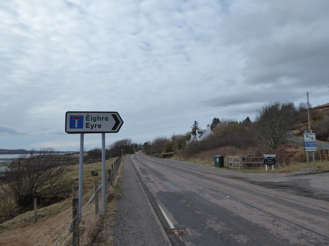
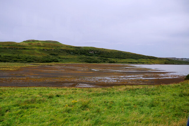
Eyre, Skye
Eyre (Scottish Gaelic: Eighre) is a settlement on the eastern shore of Loch Snizort Beag on the northern coast of Skye in Scotland.The two Eyre standing...
Kensaleyre
Kensaleyre (Scottish Gaelic: Ceann Sàil Eighre) is a scattered crofting township, part of a group of settlements clustered around the A87 road on the shore...

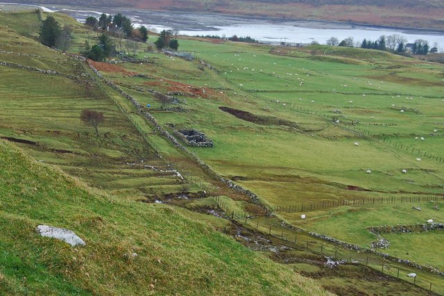
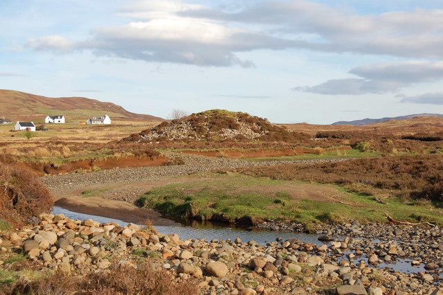
Dun Cruinn
Dun Cruinn is a prehistoric site about 10 kilometres (6.2 mi) north-west of Portree, on the Isle of Skye, Scotland. It is on the Skerinish Peninsula, between...

Bernisdale
Bernisdale (Scottish Gaelic: Beàrnasdal) is a small township, near the head of Loch Snizort Beag, Isle of Skye in the Highlands and Islands and is in the...
Nearby Amenities
Located within 500m of 57.495987,-6.2852809Have you been to Beinn Tuath?
Leave your review of Beinn Tuath below (or comments, questions and feedback).