Coille na Creige Duibhe
Wood, Forest in Argyllshire
Scotland
Coille na Creige Duibhe
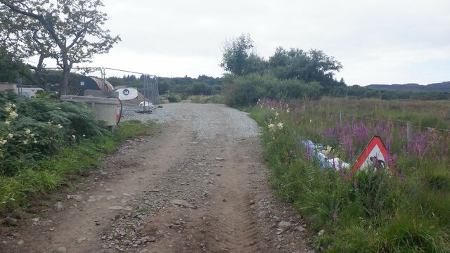
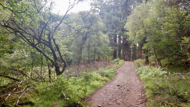
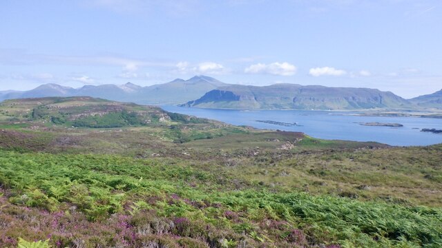
Coille na Creige Duibhe, located in Argyllshire, Scotland, is a stunning wood and forest area that offers visitors a captivating and diverse natural landscape. The name itself translates to "Wood of the Black Rock," which perfectly captures the essence of this enchanting location.
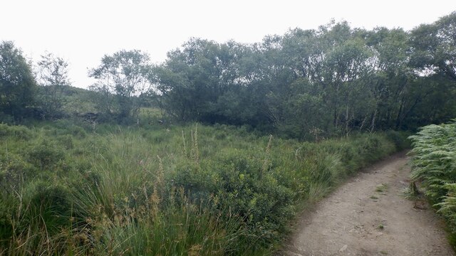
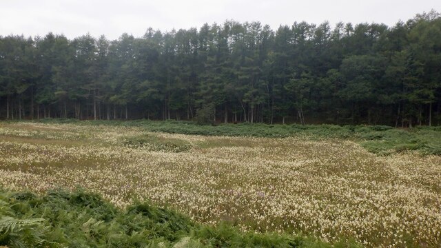
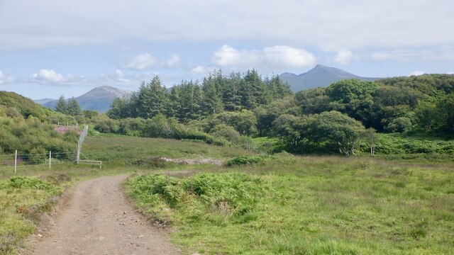
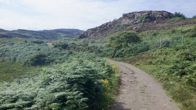
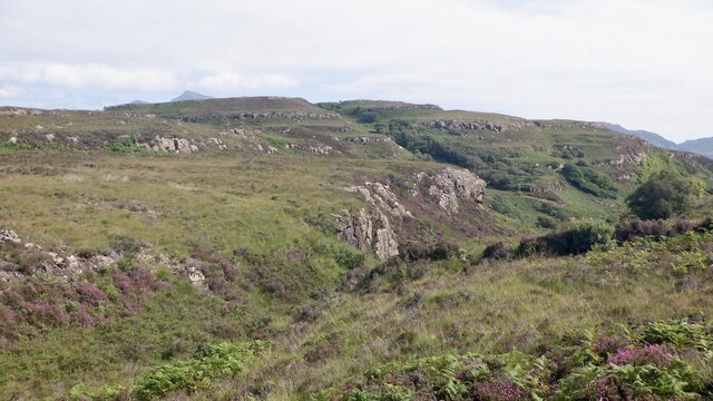
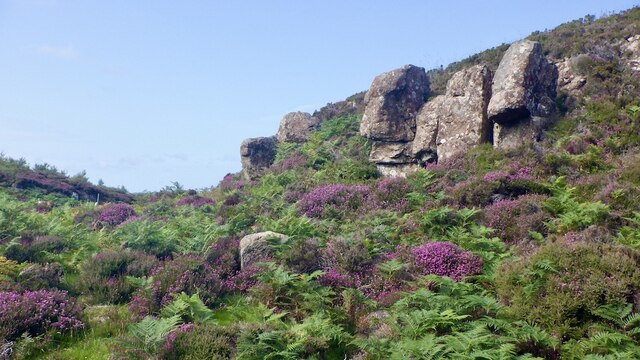
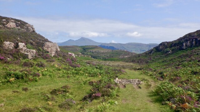
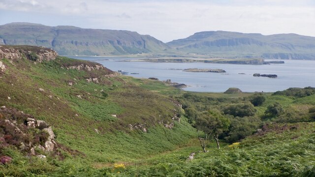
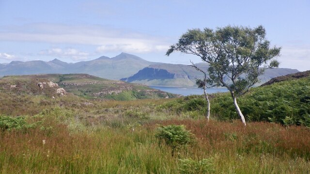
The forest is nestled in the picturesque countryside of Argyllshire, surrounded by rolling hills and breathtaking views. It covers a vast expanse of approximately 500 acres, providing ample space for exploration and discovery. Coille na Creige Duibhe boasts a rich and diverse ecosystem, comprising a variety of tree species, including oak, birch, and pine, among others. The forest floor is carpeted with an array of wildflowers and ferns, creating a vibrant and colorful tapestry.
Numerous walking trails wind their way through the forest, offering visitors the opportunity to immerse themselves in nature. These paths lead to hidden gems, such as secluded waterfalls and tranquil ponds, where wildlife thrives. The forest is home to a diverse range of animal species, including red deer, foxes, and a plethora of birdlife.
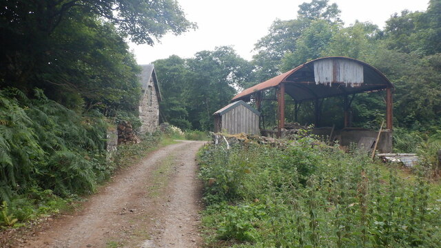
Coille na Creige Duibhe is not only a haven for nature enthusiasts but also a place of historical significance. Ruins of ancient settlements and standing stones can be found within the forest, providing a glimpse into the area's rich past.
Whether you are seeking a peaceful retreat, a chance to reconnect with nature, or an exploration of history, Coille na Creige Duibhe offers it all. Its beauty and tranquility make it a must-visit destination for outdoor enthusiasts and those seeking to escape the hustle and bustle of everyday life.
If you have any feedback on the listing, please let us know in the comments section below.
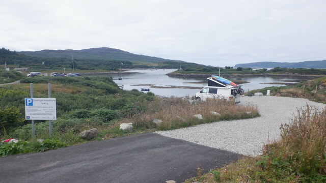
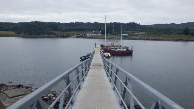
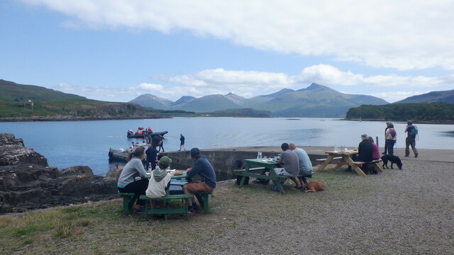
Coille na Creige Duibhe Images
Images are sourced within 2km of 56.471724/-6.1597376 or Grid Reference NM4338. Thanks to Geograph Open Source API. All images are credited.

Coille na Creige Duibhe is located at Grid Ref: NM4338 (Lat: 56.471724, Lng: -6.1597376)
Unitary Authority: Argyll and Bute
Police Authority: Argyll and West Dunbartonshire
What 3 Words
///attracts.witty.popped. Near Dervaig, Argyll & Bute
Nearby Locations
Related Wikis

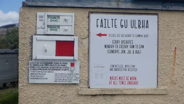
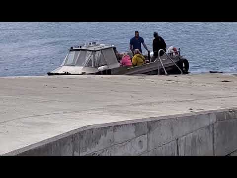
Ulva Ferry
Ulva Ferry (Scottish Gaelic: Caolas Ulbha) is a hamlet on the Hebridean island of Mull, on its west coast. Ulva Ferry is on the shore of Ulva Sound (Caolas...

Samalan Island
Samalan Island is a small island, just off the Isle of Mull at the mouth of Loch na Keal in the Inner Hebrides, Scotland. To its south west is the island...

Ulva
Ulva (; Scottish Gaelic: Ulbha) is a small island in the Inner Hebrides of Scotland, off the west coast of Mull. It is separated from Mull by a narrow...

Inch Kenneth
Inch Kenneth (Scottish Gaelic: Innis Choinnich) is a small grassy island off the west coast of the Isle of Mull, in Scotland. It is at the entrance of...

St Kenneth's Chapel
St. Kenneth's Chapel is a ruined chapel on Inch Kenneth Island, Parish of Kilfinichen and Kilvickeon, Isle of Mull, Argyll and Bute, Scotland. It dates...

Loch Tuath
Loch Tuath (Scottish Gaelic: Loch-a-Tuath) is a sea loch in the Inner Hebrides, Scotland that separates the Isle of Mull and the island of Ulva. Loch Tuath...

Eorsa
Eorsa is an uninhabited island in the Inner Hebrides of Scotland. == Geography == Eorsa lies in Loch na Keal on the west coast of the Isle of Mull, to...
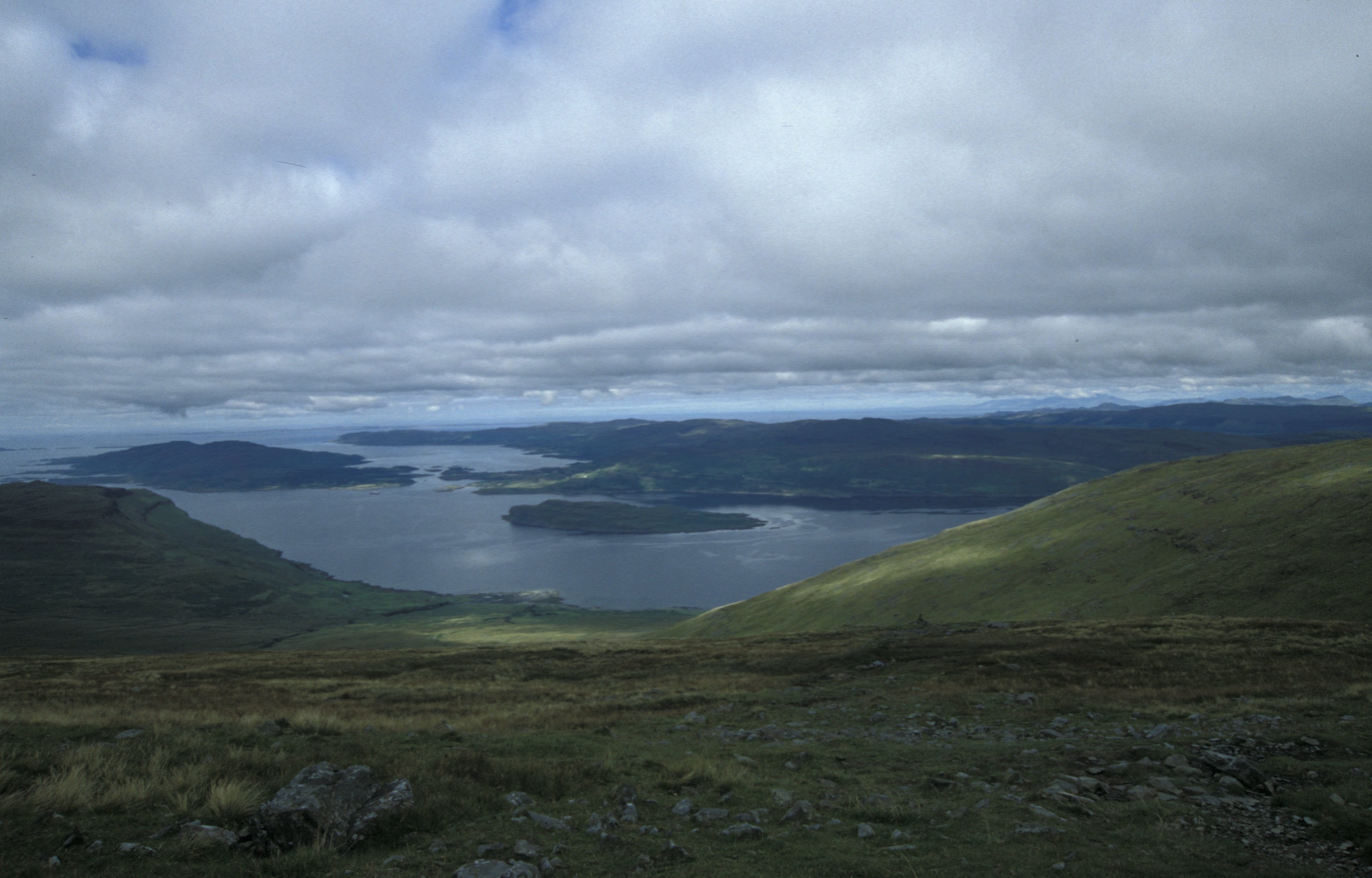
Loch na Keal
Loch na Keal (Scottish Gaelic: Loch na Caol), meaning Loch of the Kyle, or Narrows, also Loch of the Cliffs, is the principal sea loch on the western,...
Related Videos

Staffa - Scotland
awesome trip across to Scaffa, with no Puffins but instead lots of Dolphins and Minke Whales.
Ulva Ferry Crossing - Scottish Bank Holiday Monday
waiting for Mull Charters cruise to hopefully see Sea Eagles. fascinating to watch the Ulva Ferry. Super fast without people- and ...

Dolphins, puffins and monastics. A day pilgrimage to St Kenneth's Island.
Come with us on a day pilgrimage to St Kenneth's Isle off the coasts of Mull to celebrate the Saint's Feast Day. --- I C O N S ...

Chapel Inch Kenneth Island On History Visit Off The West Coast Of The Isle of Mull Scotland
Tour Scotland short travel clip with Scottish music, of a ruined chapel on Inch Kenneth, Scottish Gaelic: Innis Choinnich, a small ...
Nearby Amenities
Located within 500m of 56.471724,-6.1597376Have you been to Coille na Creige Duibhe?
Leave your review of Coille na Creige Duibhe below (or comments, questions and feedback).