Glac nan Ràmh
Corrie (Glacial Valley) in Argyllshire
Scotland
Glac nan Ràmh
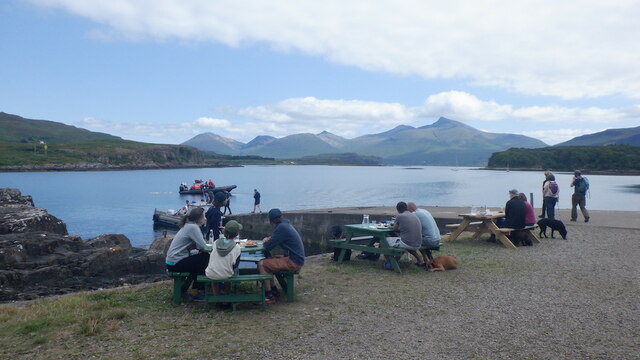
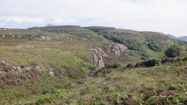
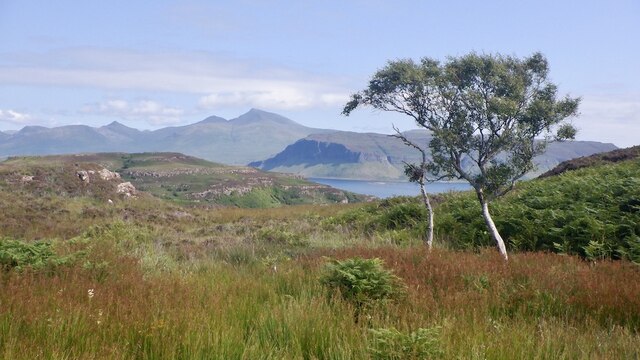
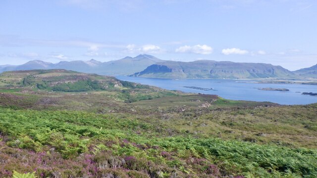
Glac nan Ràmh, also known as Corrie, is a glacial valley located in Argyllshire, Scotland. This stunning natural feature is situated within the Arrochar Alps, a range of mountains in the southern Highlands. Glac nan Ràmh is nestled between the towering peaks of Beinn Narnain and Beinn Ime, providing a dramatic backdrop to the valley.
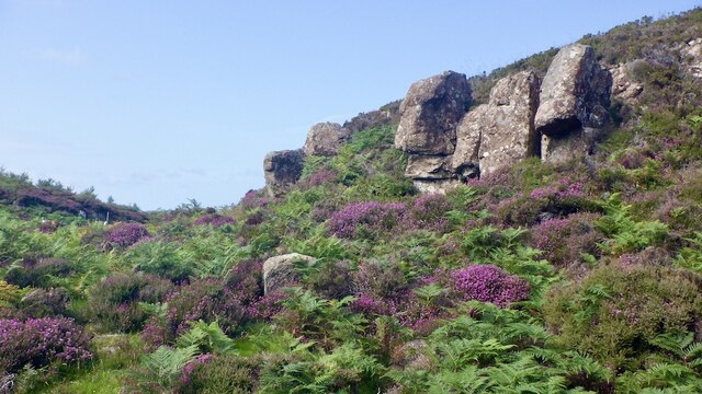
The name Glac nan Ràmh translates to "Hollow of the Oars," which references the valley's shape resembling a boat's hull. This unique topography was formed thousands of years ago during the last Ice Age when glaciers carved out the landscape. The valley is characterized by steep, rocky sides and a flat, U-shaped floor, typical of glacial features.
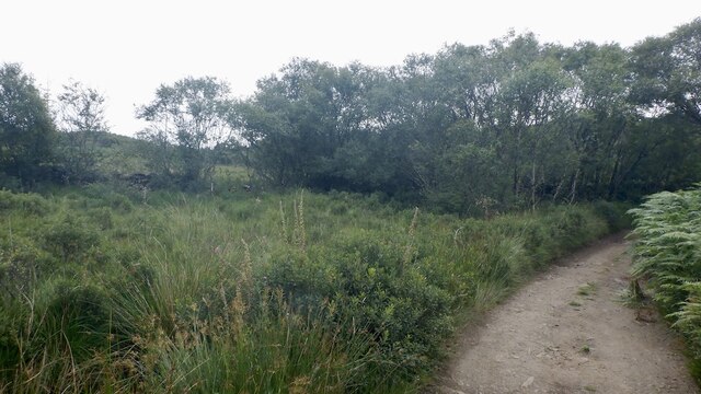
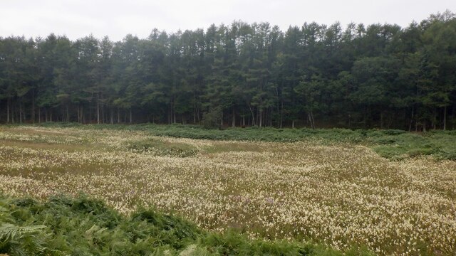
The floor of Glac nan Ràmh is covered in a thick layer of moraine, a mixture of rocks, sand, and clay left behind by the retreating glaciers. This fertile soil supports a diverse range of plant life, including heather, mosses, and various types of grasses. The valley is also home to a small stream that meanders through the landscape, adding to its picturesque charm.
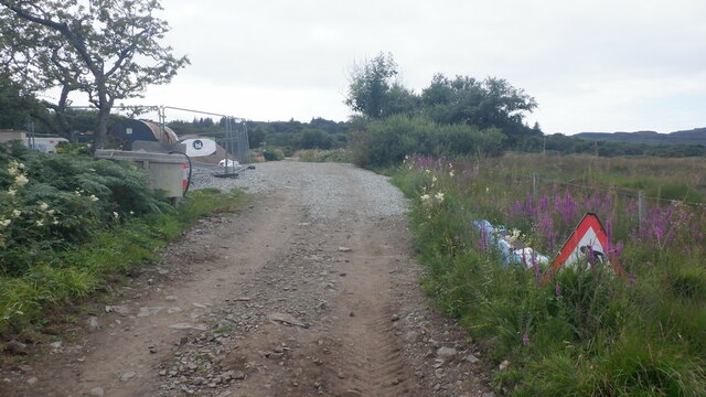
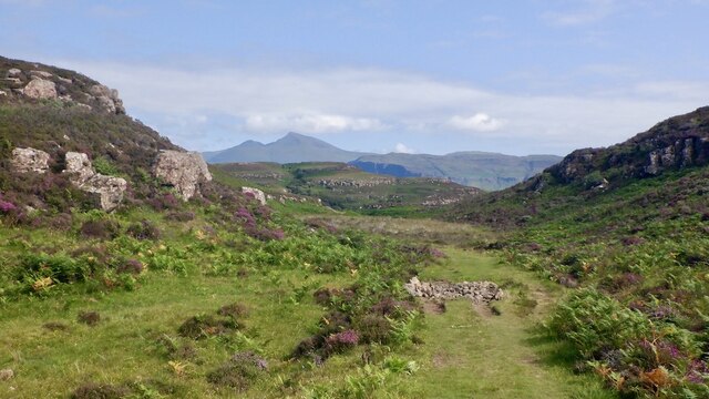
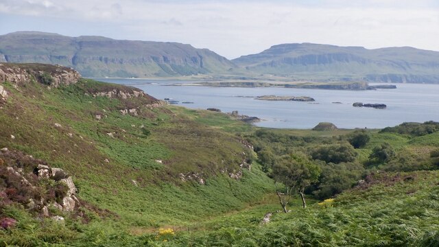
Glac nan Ràmh attracts outdoor enthusiasts and nature lovers who come to explore its stunning beauty. Hiking and walking trails provide access to the valley, offering breathtaking vistas of the surrounding mountains and the opportunity to spot wildlife such as deer and birds of prey.
Overall, Glac nan Ràmh in Argyllshire is a captivating glacial valley that showcases the remarkable geological history of the region. Its picturesque setting and abundance of natural beauty make it a must-visit destination for those seeking a tranquil escape in the Scottish Highlands.
If you have any feedback on the listing, please let us know in the comments section below.
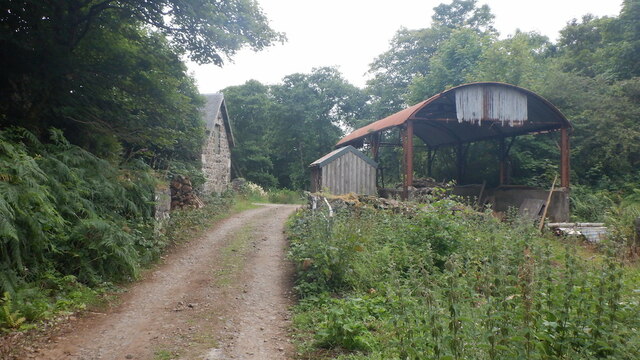
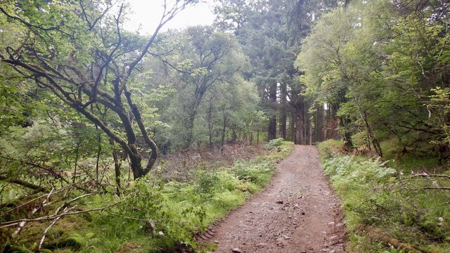
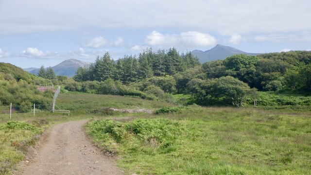
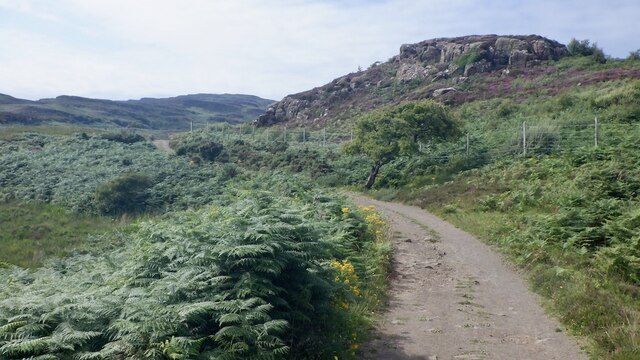
Glac nan Ràmh Images
Images are sourced within 2km of 56.472683/-6.1684058 or Grid Reference NM4338. Thanks to Geograph Open Source API. All images are credited.
Glac nan Ràmh is located at Grid Ref: NM4338 (Lat: 56.472683, Lng: -6.1684058)
Unitary Authority: Argyll and Bute
Police Authority: Argyll and West Dunbartonshire
What 3 Words
///exporters.marine.ignites. Near Dervaig, Argyll & Bute
Nearby Locations
Related Wikis

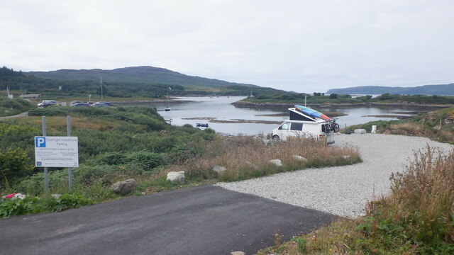
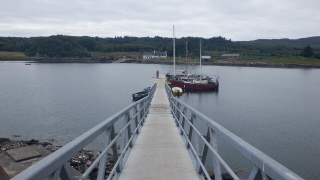
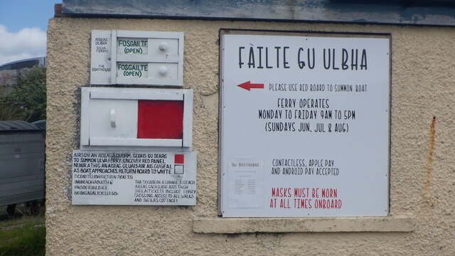
Ulva Ferry
Ulva Ferry (Scottish Gaelic: Caolas Ulbha) is a hamlet on the Hebridean island of Mull, on its west coast. Ulva Ferry is on the shore of Ulva Sound (Caolas...

Ulva
Ulva (; Scottish Gaelic: Ulbha) is a small island in the Inner Hebrides of Scotland, off the west coast of Mull. It is separated from Mull by a narrow...

Samalan Island
Samalan Island is a small island, just off the Isle of Mull at the mouth of Loch na Keal in the Inner Hebrides, Scotland. To its south west is the island...

Inch Kenneth
Inch Kenneth (Scottish Gaelic: Innis Choinnich) is a small grassy island off the west coast of the Isle of Mull, in Scotland. It is at the entrance of...

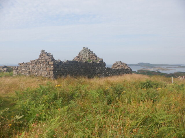
St Kenneth's Chapel
St. Kenneth's Chapel is a ruined chapel on Inch Kenneth Island, Parish of Kilfinichen and Kilvickeon, Isle of Mull, Argyll and Bute, Scotland. It dates...

Loch Tuath
Loch Tuath (Scottish Gaelic: Loch-a-Tuath) is a sea loch in the Inner Hebrides, Scotland that separates the Isle of Mull and the island of Ulva. Loch Tuath...

Eorsa
Eorsa is an uninhabited island in the Inner Hebrides of Scotland. == Geography == Eorsa lies in Loch na Keal on the west coast of the Isle of Mull, to...
Loch na Keal
Loch na Keal (Scottish Gaelic: Loch na Caol), meaning Loch of the Kyle, or Narrows, also Loch of the Cliffs, is the principal sea loch on the western,...
Nearby Amenities
Located within 500m of 56.472683,-6.1684058Have you been to Glac nan Ràmh?
Leave your review of Glac nan Ràmh below (or comments, questions and feedback).