Cnoc a' Phrionnsa

Hill, Mountain in Ross-shire

Scotland

Cnoc a' Phrionnsa

Croft near Breasclete
Croft near Breasclete Credit: David Dixon

Cnoc a' Phrionnsa, also known as Prince's Hill, is a prominent hill located in Ross-shire, Scotland. Situated near the village of Rogart, it is part of the stunning Scottish Highlands. The hill stands at an elevation of approximately 423 meters (1,388 feet) above sea level, offering breathtaking panoramic views of the surrounding landscapes.

Cnoc a' Phrionnsa is characterized by its gentle slopes covered in heather and grass, making it a perfect destination for hiking and nature enthusiasts. The hill's terrain is relatively easy to navigate, making it accessible to both experienced hikers and beginners. Its well-defined paths and trails provide ample opportunities to explore the area's natural beauty.

The summit of Cnoc a' Phrionnsa provides stunning vistas of the nearby Loch Fleet and the Dornoch Firth, along with the rolling hills and mountains that stretch across the landscape. On clear days, it is possible to catch sight of the iconic Ben Wyvis in the distance.

The hill is also home to a diverse array of flora and fauna, including various species of birds, wildflowers, and small mammals. During spring and summer, the hillside comes alive with vibrant colors as the wildflowers bloom.

Cnoc a' Phrionnsa offers a peaceful and serene setting, making it an idyllic spot for nature lovers seeking tranquility. Visitors can immerse themselves in the beauty of the Scottish Highlands, experience the wonders of the local wildlife, and enjoy the breathtaking views that this hill has to offer.

If you have any feedback on the listing, please let us know in the comments section below.

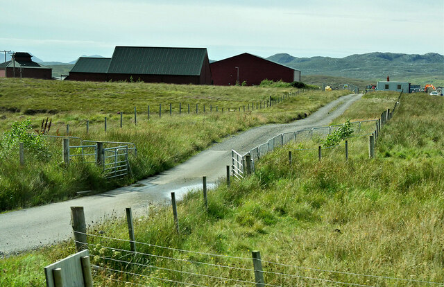
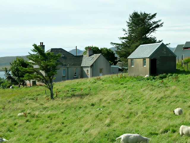
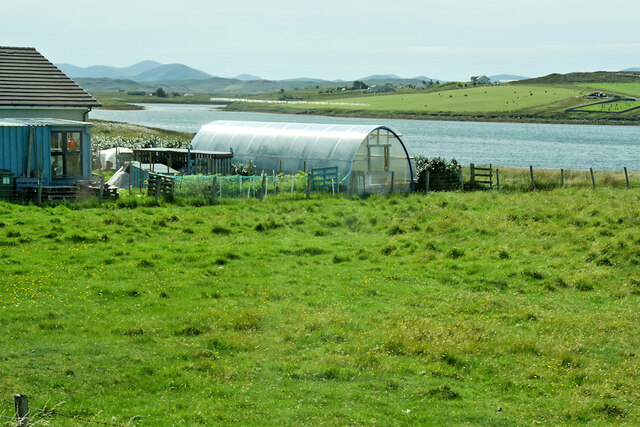
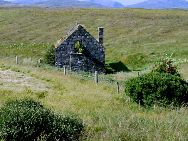
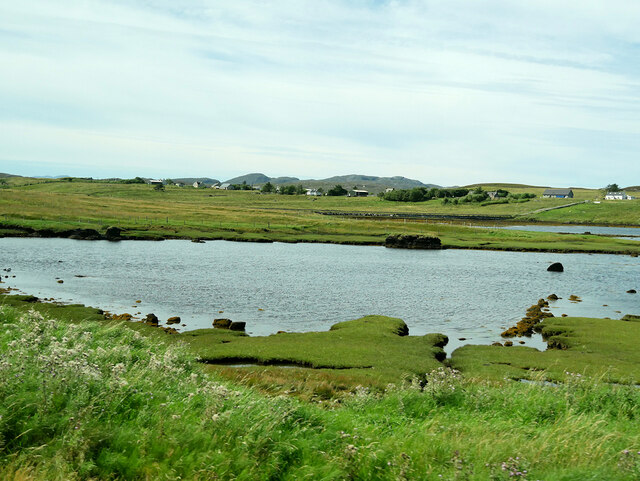
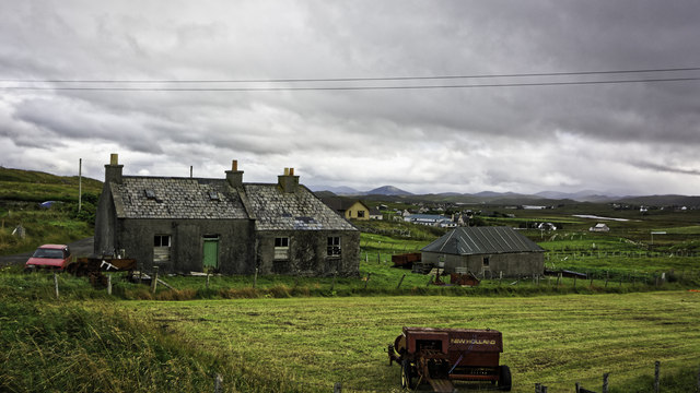
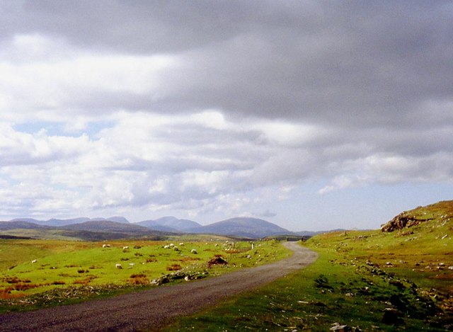
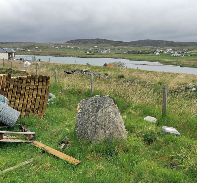
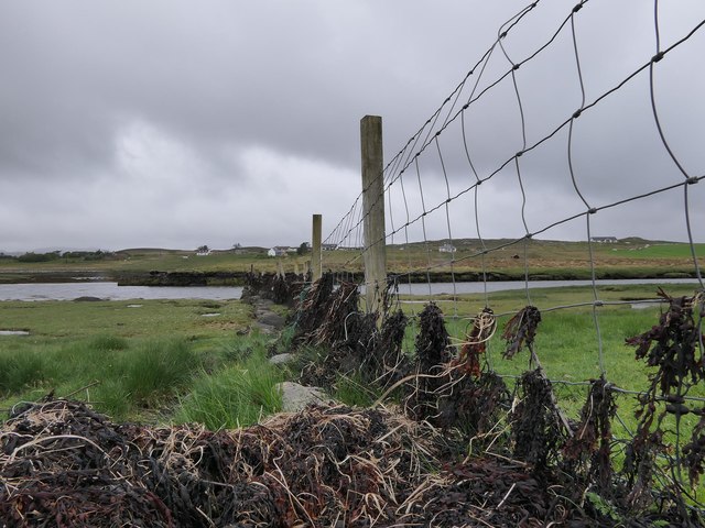
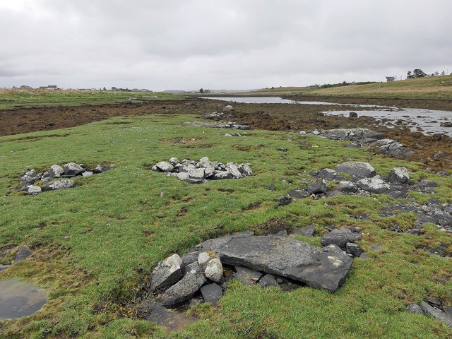
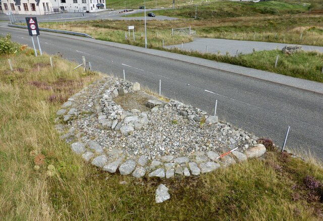
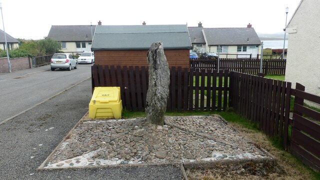
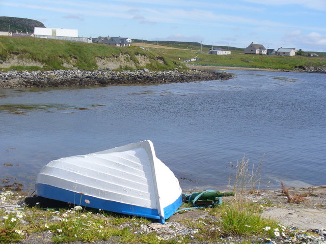
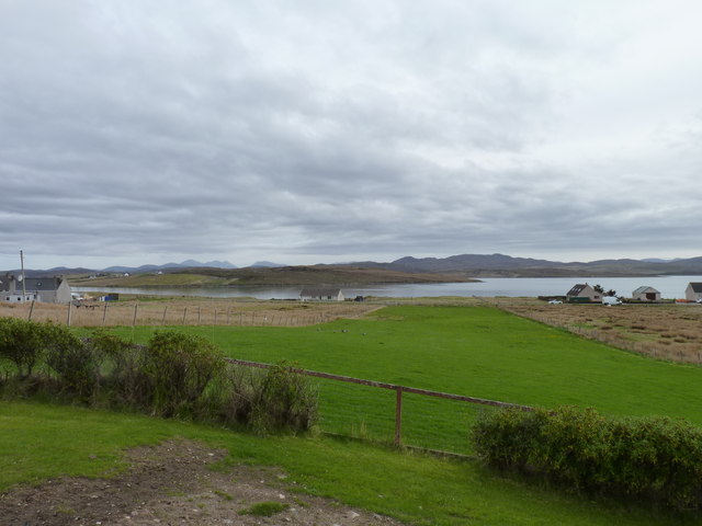
Cnoc a' Phrionnsa Images

Images are sourced within 2km of 58.219647/-6.752595 or Grid Reference NB2135. Thanks to Geograph Open Source API. All images are credited.

Croft near Breasclete
House on a hill near Breasclete
Farm Track at Breascleit
Sheep grazing at Breascleit
Polythene tunnel greenhouse on the shore of Loch Ròg an Ear
Derelict Mill near Breasclete
View towards Loch Gealava
Loch Gealava
Loch Gealava
Croftland, Circebost, Great Bernera Looking across Loch Ròg an Ear (East Loch Roag) towards Eilean Chearstaigh.
Croftland, Circebost, Great Bernera
Looking across Loch Ròg an Ear (East Loch Roag) towards Eilean Chearstaigh.
Abandoned Croft at Breascleit
Pentland Road Better grazing as the road nears Breasclete.
Pentland Road
Better grazing as the road nears Breasclete.
Calanais/Callanish XVI, Calanais, Isle of Lewis From Discovery and Excavation in Scotland, 1976: "A standing stone approx. 0.95m high x 0.30m x 0.98m surrounded by packing stones. It stands approx.
800m due N of the centre of Callanish I."
Calanais/Callanish XVI, Calanais, Isle of Lewis
From Discovery and Excavation in Scotland, 1976: "A standing stone approx. 0.95m high x 0.30m x 0.98m surrounded by packing stones. It stands approx. 800m due N of the centre of Callanish I."
Fence by Loch Gealavat, Isle of Lewis Looking across Loch Gealavat and Tòb na Faodhail towards houses to the north of Calanais/Callanish village.
Fence by Loch Gealavat, Isle of Lewis
Looking across Loch Gealavat and Tòb na Faodhail towards houses to the north of Calanais/Callanish village.
Calanais/Callanish XIII, Calanais, Isle of Lewis This stone setting lies on a small island in Tòb na Faodhail and is described in the 1976 edition of Discovery and Excavation in Scotland as, "Four low piles of rounded stones; a hollow between them; a prostrate slab lying on the NW pile; all within an area 4m square. The rectangular slab, 1.30m x 0.55m x 0.09m (average), appears to have been worked".
Calanais/Callanish XIII, Calanais, Isle of Lewis
This stone setting lies on a small island in Tòb na Faodhail and is described in the 1976 edition of Discovery and Excavation in Scotland as, "Four low piles of rounded stones; a hollow between them; a prostrate slab lying on the NW pile; all within an area 4m square. The rectangular slab, 1.30m x 0.55m x 0.09m (average), appears to have been worked".
Breasclete Park cairn A cairn found, excavated and partly removed during road improvement works. <span class="nowrap"><a title="https://canmore.org.uk/site/110238/lewis-callanish-olcote-breasclete-park" rel="nofollow ugc noopener" href="https://canmore.org.uk/site/110238/lewis-callanish-olcote-breasclete-park">Link</a><img style="margin-left:2px;" alt="External link" title="External link - shift click to open in new window" src="https://s1.geograph.org.uk/img/external.png" width="10" height="10"/></span>
Breasclete Park cairn
A cairn found, excavated and partly removed during road improvement works. LinkExternal link
Stonefield standing stone Despite appearances this standing stone is in its original position and was found following peat cutting in this area around 1923.  The stone is also known as Callanish XII. <span class="nowrap"><a title="https://canmore.org.uk/site/4171/lewis-stonefield" rel="nofollow ugc noopener" href="https://canmore.org.uk/site/4171/lewis-stonefield">Link</a><img style="margin-left:2px;" alt="External link" title="External link - shift click to open in new window" src="https://s1.geograph.org.uk/img/external.png" width="10" height="10"/></span>
Stonefield standing stone
Despite appearances this standing stone is in its original position and was found following peat cutting in this area around 1923. The stone is also known as Callanish XII. LinkExternal link
Boat at Rubha Arspaig Upturned boat by the fish oil factory at Tob Bhreascleit, an inlet off the sea loch, Loch Rog an Ear.
Boat at Rubha Arspaig
Upturned boat by the fish oil factory at Tob Bhreascleit, an inlet off the sea loch, Loch Rog an Ear.
Crofting strip Lush grass, much favoured by migrating geese, on a crofting strip in the village of Breascleit. The water in the distance is Loch Roag.
Crofting strip
Lush grass, much favoured by migrating geese, on a crofting strip in the village of Breascleit. The water in the distance is Loch Roag.
Show me another place!

Cnoc a' Phrionnsa is located at Grid Ref: NB2135 (Lat: 58.219647, Lng: -6.752595)

Unitary Authority: Na h-Eileanan an Iar

Police Authority: Highlands and Islands

What 3 Words

///screen.mental.even. Near Carloway, Na h-Eileanan Siar

Related Wikis

Breasclete

Breasclete (Scottish Gaelic: Brèascleit) is a village and community on the west side of the Isle of Lewis, in the Outer Hebrides, Scotland. Breasclete...

Ceabhaigh

Ceabhaigh is a small island in an arm of Loch Ròg on the west coast of Lewis in the Outer Hebrides of Scotland. It is about 25 hectares (62 acres) in extent...

Callanish

Callanish (Scottish Gaelic: Calanais) is a village (township) on the west side of the Isle of Lewis, in the Outer Hebrides (Western Isles), Scotland. Callanish...

Eilean Chearstaidh

Eilean Kearstay (Scottish Gaelic: Eilean Chearstaigh) is an uninhabited island in Loch Roag in the Outer Hebrides of Scotland. It lies south east of Great...

Related Videos

DOCUMENTARY | Callanish Stones The Minor Sites | Neolithic | History of Scotland | Before Caledonia

'Before Caledonia' A Journey Through Scotland's Ancient Sites. ---------- FACEBOOK share photos, articles, review books and ...

Calanais Standing Stones

Video from Outdoors For You, Calanais Standing Stones, Isle of Lewis _, Scotland.

Nearby Amenities

Located within 500m of 58.219647,-6.752595
Breasclete
Naptan AtcoCode: 6010731572
Naptan Bearing: S
Naptan BusStopType: CUS
Naptan CommonName: Breasclete
Naptan Indicator: Village Road
Naptan Landmark: Main road junction
Naptan NaptanCode: 94723895
Naptan Street: Village Road
Naptan Verified: no
Source: naptan_import
Lat/Long: 58.2184179/-6.7496191
Brèascleit
Name En: Breasclete
Name Gd: Brèascleit
Place: village
Source: OS7
Website: http://www.breasclete.com
Lat/Long: 58.2206854/-6.7458316
Crossing
Crossing: marked
Lat/Long: 58.2169585/-6.7553234
Source: Bing
Lat/Long: 58.2165734/-6.7480925
Source: Bing
Lat/Long: 58.2165041/-6.7481776
Source: Bing
Lat/Long: 58.2164325/-6.7479695
Source: Bing
Lat/Long: 58.2165024/-6.7478838
Source: Bing
Lat/Long: 58.2162892/-6.748003
Source: Bing
Lat/Long: 58.2163639/-6.7479076
Source: Bing
Lat/Long: 58.2163288/-6.7478085
Source: Bing
Lat/Long: 58.2162541/-6.7479039
Source: Bing
Lat/Long: 58.2163456/-6.7474342
Source: Bing
Lat/Long: 58.2162258/-6.7475577
Source: Bing
Lat/Long: 58.2161877/-6.7474246
Source: Bing
Lat/Long: 58.2163076/-6.747301
Turning Circle
Lat/Long: 58.2168752/-6.7495699
Crossing
Crossing: marked
Lat/Long: 58.2171716/-6.7553193
Crossing
Crossing: marked
Lat/Long: 58.2168912/-6.7557988
Turning Circle
Lat/Long: 58.217531/-6.7580965
Passing Place
Lat/Long: 58.2186042/-6.7558004
Passing Place
Lat/Long: 58.2192747/-6.7550252
Telephone
Booth: KX100
Covered: booth
Lat/Long: 58.2174148/-6.750582
Passing Place
Lat/Long: 58.2179988/-6.7455812
Power: pole
Lat/Long: 58.2186587/-6.7448211
Power: pole
Lat/Long: 58.2191454/-6.7456393
Power: pole
Lat/Long: 58.2196718/-6.7465378
Power: pole
Lat/Long: 58.2199268/-6.7472336
Power: pole
Lat/Long: 58.2203447/-6.7482651
Power: pole
Lat/Long: 58.2207613/-6.7494036
Power: pole
Lat/Long: 58.2211403/-6.7503943
Power: pole
Lat/Long: 58.2214535/-6.7513123
Power: pole
Lat/Long: 58.2216694/-6.7520217
Power: pole
Lat/Long: 58.2219621/-6.7531639
Power: pole
Lat/Long: 58.2221863/-6.7540047
Power: pole
Lat/Long: 58.2227016/-6.7546282
Power: pole
Lat/Long: 58.2233518/-6.7554365
Power: pole
Lat/Long: 58.2237463/-6.7558998
Power: pole
Lat/Long: 58.2176034/-6.7553428
Power: pole
Lat/Long: 58.2177605/-6.7552517
Power: pole
Lat/Long: 58.2179331/-6.7551753
Power: pole
Lat/Long: 58.2184471/-6.7549338
Power: pole
Lat/Long: 58.2188456/-6.7547588
Power: pole
Lat/Long: 58.2196053/-6.7543126
Power: pole
Lat/Long: 58.2203265/-6.7539973
Power: pole
Lat/Long: 58.2209326/-6.7536917
Power: pole
Lat/Long: 58.2214125/-6.7534149
Power: pole
Lat/Long: 58.2195149/-6.7477467
Power: pole
Lat/Long: 58.2189665/-6.7483349
Power: pole
Lat/Long: 58.2184731/-6.7489206
Power: pole
Lat/Long: 58.2179674/-6.7494007
Power: pole
Lat/Long: 58.2183796/-6.7509242
Power: pole
Lat/Long: 58.2182485/-6.7504264
Power: pole
Lat/Long: 58.2181252/-6.7499532
Power: pole
Lat/Long: 58.2176099/-6.7488081
Power: pole
Lat/Long: 58.2174477/-6.7484327
Power: pole
Lat/Long: 58.2171225/-6.7486138
Power: pole
Lat/Long: 58.2168688/-6.7487383
Power: pole
Lat/Long: 58.2167156/-6.7483267
Power: pole
Lat/Long: 58.2179448/-6.7461038
Power: pole
Lat/Long: 58.2178106/-6.746994
Power: pole
Lat/Long: 58.2176817/-6.7479349
Power: pole
Lat/Long: 58.2175287/-6.7495161
Power: pole
Lat/Long: 58.2174452/-6.7504062
Power: pole
Lat/Long: 58.2172693/-6.7518134
Power: pole
Lat/Long: 58.2171906/-6.7524821
Power: pole
Lat/Long: 58.218149/-6.7453628
Power: pole
Lat/Long: 58.2229934/-6.7564727
Power: pole
Lat/Long: 58.2226295/-6.7576955
Power: pole
Lat/Long: 58.2224721/-6.7582553
Power: pole
Lat/Long: 58.2223595/-6.7586379
Power: pole
Lat/Long: 58.2209507/-6.756453
Power: pole
Lat/Long: 58.2212585/-6.7566016
Power: pole
Lat/Long: 58.2215616/-6.7567548
Power: pole
Lat/Long: 58.2218359/-6.7571591
Power: pole
Lat/Long: 58.2221461/-6.7576643
Power: pole
Lat/Long: 58.2227761/-6.7584808
Power: pole
Lat/Long: 58.2201964/-6.7462484
Power: pole
Lat/Long: 58.2205037/-6.7451126
Power: pole
Lat/Long: 58.2208673/-6.7462319
Power: pole
Lat/Long: 58.2210071/-6.7466441
Power: pole
Lat/Long: 58.2210596/-6.7475695
Power: pole
Lat/Long: 58.2210815/-6.7480275
Power: pole
Lat/Long: 58.2212084/-6.7486091
Power: pole
Lat/Long: 58.2213693/-6.7492063
Power: pole
Lat/Long: 58.2214181/-6.7498091
Power: pole
Lat/Long: 58.2214704/-6.7506454
Power: pole
Lat/Long: 58.2216392/-6.7511845
Barrier: cattle_grid
Lat/Long: 58.218051/-6.7455515
Barrier: cattle_grid
Lat/Long: 58.2180567/-6.7447133
Passing Place
Lat/Long: 58.2212852/-6.7489586
Barrier: cattle_grid
Lat/Long: 58.2212859/-6.7498794
Barrier: cattle_grid
Lat/Long: 58.221548/-6.7567168
Generator Method: photovoltaic
Generator Output Electricity: small_installation
Generator Source: solar
Generator Type: solar_photovoltaic_panel
Power: generator
Lat/Long: 58.2208329/-6.7540553
Passing Place
Lat/Long: 58.2213832/-6.7523137
Post Box
Post Box Type: lamp
Royal Cypher: scottish_crown
Lat/Long: 58.2174142/-6.7506848
Generator Method: photovoltaic
Generator Output Electricity: small_installation
Generator Source: solar
Generator Type: solar_photovoltaic_panel
Power: generator
Lat/Long: 58.2167088/-6.7466415
The data included in this document is from www.openstreetmap.org. The data is made available under ODbL.

Have you been to Cnoc a' Phrionnsa?

Leave your review of Cnoc a' Phrionnsa below (or comments, questions and feedback).