Tòdun

Hill, Mountain in Inverness-shire

Scotland

Tòdun

North Harris Roads
North Harris Roads Credit: Ralph Greig

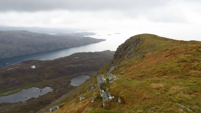
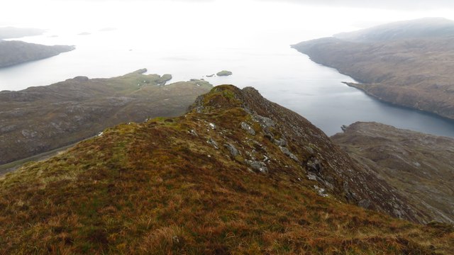
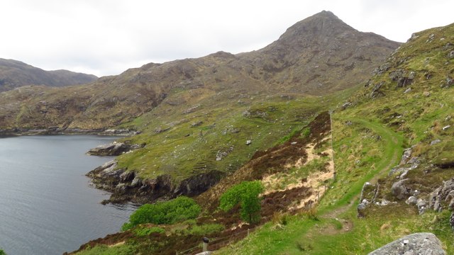
Tòdun is a prominent hill located in Inverness-shire, Scotland. Rising to an elevation of approximately 663 meters (2,175 feet), it is a popular destination for hikers, nature enthusiasts, and outdoor adventurers. The hill is positioned in the eastern part of Inverness-shire, near the village of Newtonmore.

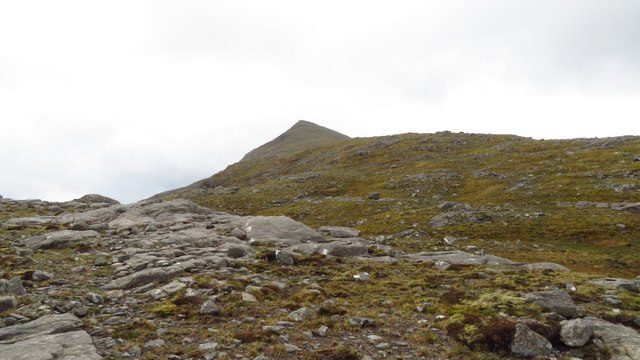
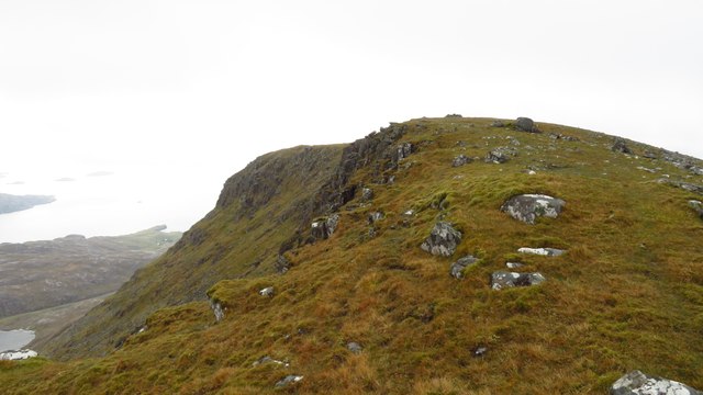
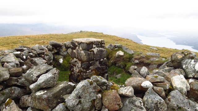
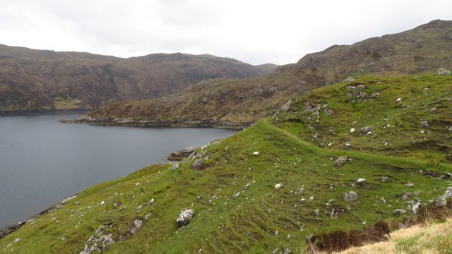
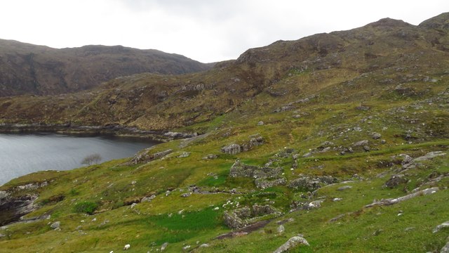
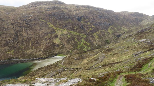
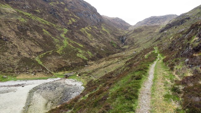
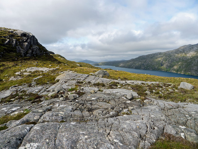
Tòdun is characterized by its rugged terrain, with steep slopes and rocky outcrops, providing a challenging yet rewarding climb for those who venture to its summit. From the top, visitors are treated to breathtaking panoramic views of the surrounding landscapes, including the stunning Cairngorms National Park.

The hill is covered in a mix of heather, grasses, and scattered patches of woodland, creating a diverse habitat for various plant and animal species. Hiking trails wind their way through the hill, offering opportunities to explore its natural beauty and observe wildlife such as red deer, mountain hares, and numerous bird species.

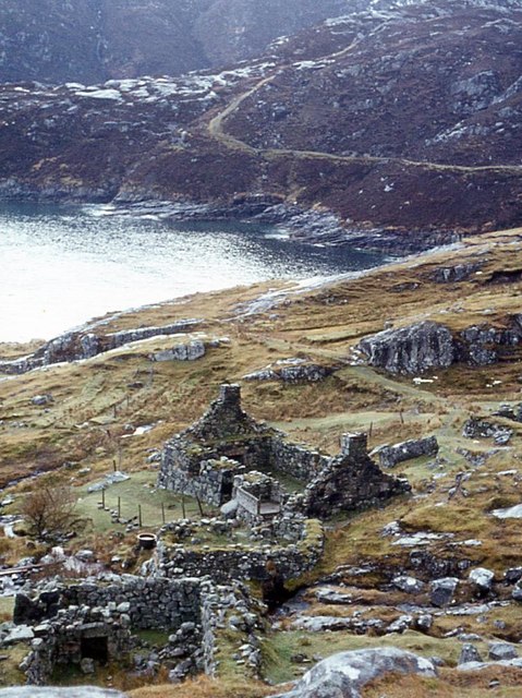
Tòdun also holds historical significance, with ancient remains and artifacts dating back to prehistoric times discovered in the surrounding area. The hill's cultural heritage adds an extra layer of intrigue and fascination to its appeal.

Due to its accessibility and captivating scenery, Tòdun attracts a steady stream of outdoor enthusiasts throughout the year. Whether it be for a challenging hike, a peaceful stroll, or simply to admire the breathtaking views, Tòdun offers a memorable experience for all who visit.

If you have any feedback on the listing, please let us know in the comments section below.
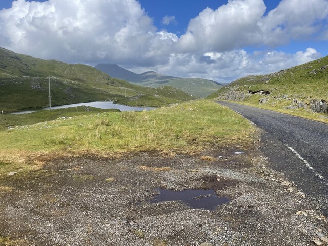
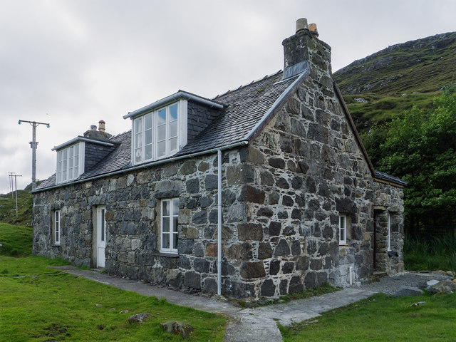
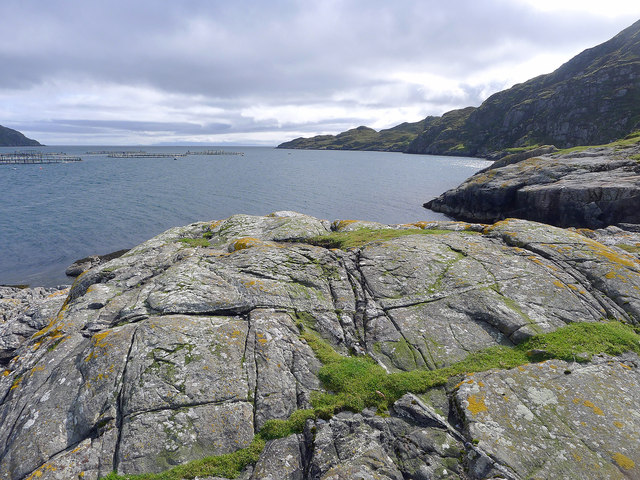
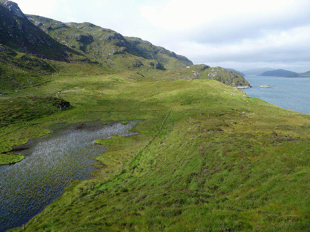
Tòdun Images

Images are sourced within 2km of 57.928385/-6.7140782 or Grid Reference NB2102. Thanks to Geograph Open Source API. All images are credited.

North Harris Roads
North Harris Roads
Ascending across Cadhan Dubha towards Todun
View south along Todun ridge
Trig point enclosed in wall on summit of Todun
Todun ridge & view towards sea entrance of Loch Seaforth
South eastern ridge from Todun To descend from this narrow ridge it is easiest to pick your way down the  eastern side to gain the road at the outflow from Loch Beag as there is a ravine downstream from this point.
South eastern ridge from Todun
To descend from this narrow ridge it is easiest to pick your way down the eastern side to gain the road at the outflow from Loch Beag as there is a ravine downstream from this point.
Junction with Postman's Path, west of Rhenigidale
Postman's Path between Rhenigidale to Gearraidh Lotaigear
On the Postman's Path near Gearraidh Lotaigear
Abandoned settlement at Gearraidh Lotaigear
On the Postman's Path descending towards the head of Loch Trolamaraig This is a good engineered path leading west from Rhenigidale. Note the zigzag path ascending the far hillside.
On the Postman's Path descending towards the head of Loch Trolamaraig
This is a good engineered path leading west from Rhenigidale. Note the zigzag path ascending the far hillside.
Postman's Path at the foot of Gleann Trolamaraig This is a good engineered path leading west from Rhenigidale. Note the zigzag path ascending the far hillside.
Postman's Path at the foot of Gleann Trolamaraig
This is a good engineered path leading west from Rhenigidale. Note the zigzag path ascending the far hillside.
On the Postman's Path west of Loch Trolamaraig
Gearraidh Mhurchaidh A well restored cottage that may be accessed by a minor path from Rhenigidale or by boat to a small pier far below the cottage.  A "railway"connects the pier to the lawn beside the house allowing supplies to be easily taken up to the house.
Gearraidh Mhurchaidh
A well restored cottage that may be accessed by a minor path from Rhenigidale or by boat to a small pier far below the cottage. A "railway"connects the pier to the lawn beside the house allowing supplies to be easily taken up to the house.
Outlook from Creag Mhurchaidh Looking towards the open sea with a salmon farm in the middle of Loch Seaforth. In the far distance is part of the Isle of Skye.
Outlook from Creag Mhurchaidh
Looking towards the open sea with a salmon farm in the middle of Loch Seaforth. In the far distance is part of the Isle of Skye.
The fields at Nostar I gather that no one has lived at Nostar for a very long time but the fields were worked by a crofter until recently. Nostar is an area of green thanks to grass and bog-loving plants.
The fields at Nostar
I gather that no one has lived at Nostar for a very long time but the fields were worked by a crofter until recently. Nostar is an area of green thanks to grass and bog-loving plants.
Mountain terrain above Loch Seaforth The rock outcrops made for easier walking than the heather of the hillside. The east side of Loch Seaforth is seen as being excessively steep.
Mountain terrain above Loch Seaforth
The rock outcrops made for easier walking than the heather of the hillside. The east side of Loch Seaforth is seen as being excessively steep.
Ruins of Gearraidh Lotaigear The postman's path rounds the headland beyond on the way to Tarbert.
Ruins of Gearraidh Lotaigear
The postman's path rounds the headland beyond on the way to Tarbert.
Show me another place!

Tòdun is located at Grid Ref: NB2102 (Lat: 57.928385, Lng: -6.7140782)

Unitary Authority: Na h-Eileanan an Iar

Police Authority: Highlands and Islands

What 3 Words

///employers.composes.flags. Near Tarbert, Na h-Eileanan Siar

Nearby Locations

Loch Beag Tòdun

Related Wikis

Rèinigeadal

Rèinigeadal (or Rhenigidale) is a small settlement in Harris, in the Western Isles in Scotland. It is situated on the east coast of Harris 8 kilometres...

Loch Seaforth

Loch Seaforth (Scottish Gaelic: Loch Shiphoirt or Shìophoirt) is a sea loch in the Outer Hebrides of Scotland. It consists of three distinct sections;...

Sgeotasaigh

Scotasay (Scottish Gaelic: Sgeotasaigh) is small island in the Outer Hebrides of Scotland. It lies 1 kilometre (0.6 miles) off the east coast of Harris...

Harris distillery

Harris distillery is a Scotch whisky and Gin distillery in Tarbert on the Isle of Harris, Scotland. The distillery was the first legal distillery ever...

Nearby Amenities

Located within 500m of 57.928385,-6.7140782
Tòdun
Corbett: no
Ele: 528
Graham: no
Marilyn: yes
Munro: no
Name En: Toddun
Name Gd: Tòdun
Natural: peak
Prominence: 390
Source: OS7
Lat/Long: 57.9284794/-6.7145545
Man Made: survey_point
Lat/Long: 57.9283833/-6.7140889
The data included in this document is from www.openstreetmap.org. The data is made available under ODbL.

Have you been to Tòdun?

Leave your review of Tòdun below (or comments, questions and feedback).