Cnoc Buaile Dhonnachaidh

Hill, Mountain in Ross-shire

Scotland

Cnoc Buaile Dhonnachaidh

Loch na Muilne
Loch na Muilne Credit: David Dixon

Cnoc Buaile Dhonnachaidh is a hill located in Ross-shire, Scotland. It is part of the Scottish Highlands and is situated near the village of Garve. The hill has an elevation of 526 meters (1,726 feet) and offers stunning panoramic views of the surrounding landscape.

Cnoc Buaile Dhonnachaidh is covered in heather and grass, providing a picturesque setting for hikers and nature enthusiasts. The terrain is relatively steep in some areas, but there are well-defined paths and trails that make it accessible for visitors of different fitness levels.

The hill is also abundant in wildlife, with various species of birds, including golden eagles and peregrine falcons, often seen soaring above. Red deer and mountain hares are common sightings on the slopes, adding to the natural beauty of the area.

At the summit of Cnoc Buaile Dhonnachaidh, on a clear day, one can enjoy breathtaking views of the nearby Loch Garve and the surrounding mountains, such as Ben Wyvis and the Torridon Hills. The peaceful and serene atmosphere at the top makes it a perfect spot for picnics or simply taking in the beauty of the Scottish Highlands.

Cnoc Buaile Dhonnachaidh is a popular destination for hillwalkers and climbers who seek to challenge themselves and explore the rugged beauty of the Scottish countryside. Whether you are an experienced hiker or a beginner looking for a scenic adventure, Cnoc Buaile Dhonnachaidh offers an unforgettable experience in the heart of Ross-shire.

If you have any feedback on the listing, please let us know in the comments section below.

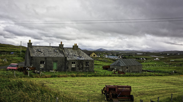
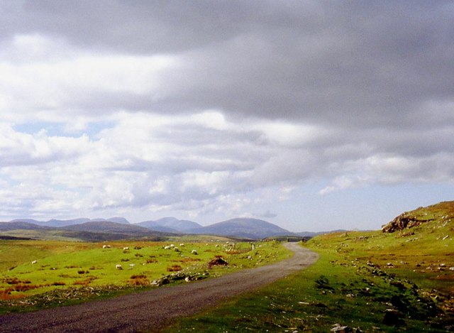
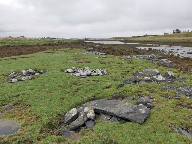
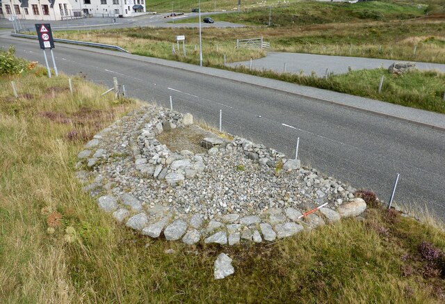
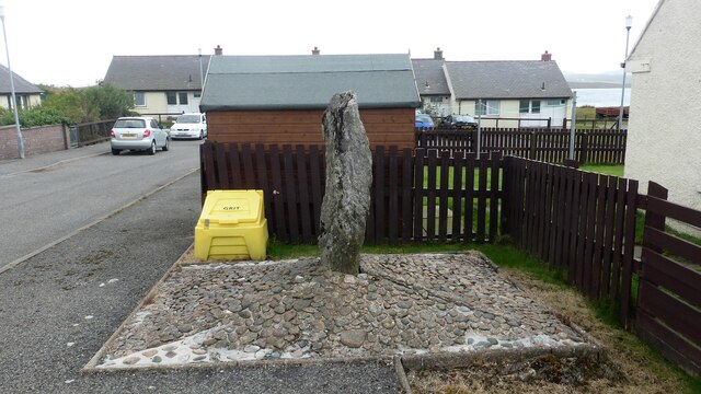
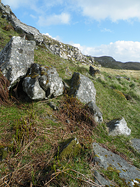
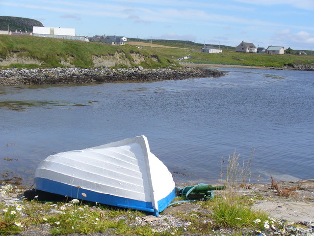
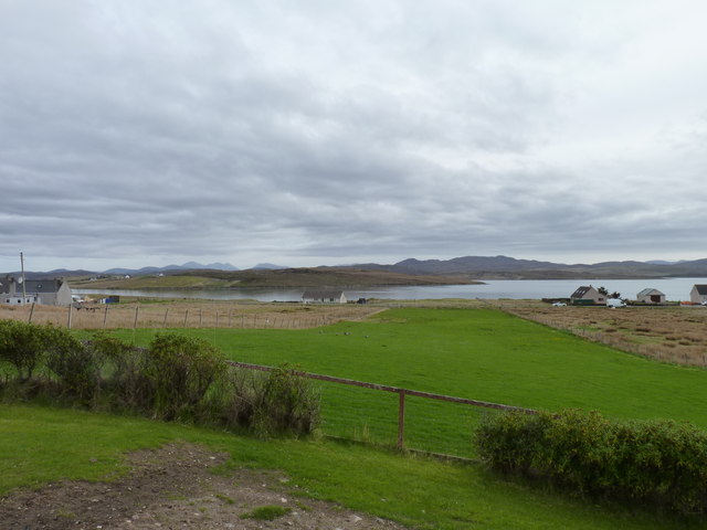
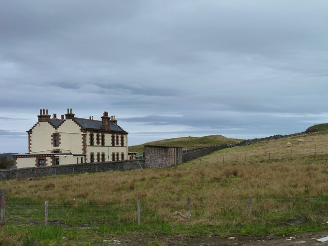
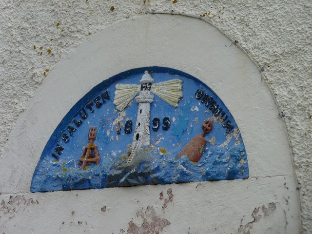
Cnoc Buaile Dhonnachaidh Images

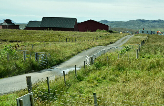
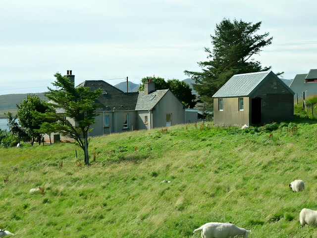
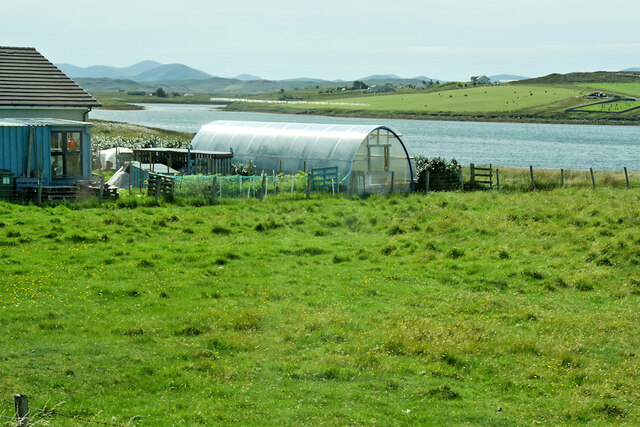
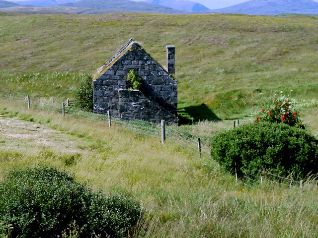
Images are sourced within 2km of 58.223223/-6.7459473 or Grid Reference NB2135. Thanks to Geograph Open Source API. All images are credited.

Loch na Muilne
Loch na Muilne
Croft near Breasclete
House on a hill near Breasclete
Farm Track at Breascleit
Sheep grazing at Breascleit
Polythene tunnel greenhouse on the shore of Loch Ròg an Ear
Derelict Mill near Breasclete
View towards Loch Gealava
Abandoned Croft at Breascleit
Pentland Road Better grazing as the road nears Breasclete.
Pentland Road
Better grazing as the road nears Breasclete.
Calanais/Callanish XIII, Calanais, Isle of Lewis This stone setting lies on a small island in Tòb na Faodhail and is described in the 1976 edition of Discovery and Excavation in Scotland as, "Four low piles of rounded stones; a hollow between them; a prostrate slab lying on the NW pile; all within an area 4m square. The rectangular slab, 1.30m x 0.55m x 0.09m (average), appears to have been worked".
Calanais/Callanish XIII, Calanais, Isle of Lewis
This stone setting lies on a small island in Tòb na Faodhail and is described in the 1976 edition of Discovery and Excavation in Scotland as, "Four low piles of rounded stones; a hollow between them; a prostrate slab lying on the NW pile; all within an area 4m square. The rectangular slab, 1.30m x 0.55m x 0.09m (average), appears to have been worked".
Breasclete Park cairn A cairn found, excavated and partly removed during road improvement works. <span class="nowrap"><a title="https://canmore.org.uk/site/110238/lewis-callanish-olcote-breasclete-park" rel="nofollow ugc noopener" href="https://canmore.org.uk/site/110238/lewis-callanish-olcote-breasclete-park">Link</a><img style="margin-left:2px;" alt="External link" title="External link - shift click to open in new window" src="https://s1.geograph.org.uk/img/external.png" width="10" height="10"/></span>
Breasclete Park cairn
A cairn found, excavated and partly removed during road improvement works. LinkExternal link
Stonefield standing stone Despite appearances this standing stone is in its original position and was found following peat cutting in this area around 1923.  The stone is also known as Callanish XII. <span class="nowrap"><a title="https://canmore.org.uk/site/4171/lewis-stonefield" rel="nofollow ugc noopener" href="https://canmore.org.uk/site/4171/lewis-stonefield">Link</a><img style="margin-left:2px;" alt="External link" title="External link - shift click to open in new window" src="https://s1.geograph.org.uk/img/external.png" width="10" height="10"/></span>
Stonefield standing stone
Despite appearances this standing stone is in its original position and was found following peat cutting in this area around 1923. The stone is also known as Callanish XII. LinkExternal link
Beannan Beag The low hill to the left here is composed of distinctive and unusual rocks known (ungrammatically) as the Cleitichean Beag dykes. They belong to the Palaeoproterozoic Younger Basic suite which was intruded into the Lewisian gneiss about 2800 to 2700 million years ago.
Beannan Beag
The low hill to the left here is composed of distinctive and unusual rocks known (ungrammatically) as the Cleitichean Beag dykes. They belong to the Palaeoproterozoic Younger Basic suite which was intruded into the Lewisian gneiss about 2800 to 2700 million years ago.
Boat at Rubha Arspaig Upturned boat by the fish oil factory at Tob Bhreascleit, an inlet off the sea loch, Loch Rog an Ear.
Boat at Rubha Arspaig
Upturned boat by the fish oil factory at Tob Bhreascleit, an inlet off the sea loch, Loch Rog an Ear.
Crofting strip Lush grass, much favoured by migrating geese, on a crofting strip in the village of Breascleit. The water in the distance is Loch Roag.
Crofting strip
Lush grass, much favoured by migrating geese, on a crofting strip in the village of Breascleit. The water in the distance is Loch Roag.
Largest house in Breascleit Architecturally a complete contrast to the other houses in the small village of Breascleit, this building has a history. Currently it forms flats owned by the local council but it was originally built in 1895 for the Northern Lighthouse Board as residences for families of the keepers working on the Flannan Isles lighthouse (NA7247) about 25 miles offshore from Breascleit. It must have been a sad place just five years after it was built when in December 1900 all three keepers vanished without trace from the island. Many are the rumours that have grown up concerning their mysterious disappearance (including some involving sea monsters and abduction by aliens) but it seems most probable that they were swept to their deaths by a huge Atlantic wave. Two of them left widows who lived in this house, one with four and the other with two young children.
Largest house in Breascleit
Architecturally a complete contrast to the other houses in the small village of Breascleit, this building has a history. Currently it forms flats owned by the local council but it was originally built in 1895 for the Northern Lighthouse Board as residences for families of the keepers working on the Flannan Isles lighthouse (NA7247) about 25 miles offshore from Breascleit. It must have been a sad place just five years after it was built when in December 1900 all three keepers vanished without trace from the island. Many are the rumours that have grown up concerning their mysterious disappearance (including some involving sea monsters and abduction by aliens) but it seems most probable that they were swept to their deaths by a huge Atlantic wave. Two of them left widows who lived in this house, one with four and the other with two young children.
Lighthouse crest This Northern Lighthouse Board crest is still above the front door of the house shown in<a href="https://www.geograph.org.uk/photo/3488562">NB2135 : Largest house in Breascleit</a>.
Lighthouse crest
This Northern Lighthouse Board crest is still above the front door of the house shown inNB2135 : Largest house in Breascleit.
Show me another place!

Cnoc Buaile Dhonnachaidh is located at Grid Ref: NB2135 (Lat: 58.223223, Lng: -6.7459473)

Unitary Authority: Na h-Eileanan an Iar

Police Authority: Highlands and Islands

What 3 Words

///tailwind.slept.visitors. Near Carloway, Na h-Eileanan Siar

Related Wikis

Breasclete

Breasclete (Scottish Gaelic: Brèascleit) is a village and community on the west side of the Isle of Lewis, in the Outer Hebrides, Scotland. Breasclete...

Ceabhaigh

Ceabhaigh is a small island in an arm of Loch Ròg on the west coast of Lewis in the Outer Hebrides of Scotland. It is about 25 hectares (62 acres) in extent...

Callanish

Callanish (Scottish Gaelic: Calanais) is a village (township) on the west side of the Isle of Lewis, in the Outer Hebrides (Western Isles), Scotland. Callanish...

Callanish X

The Callanish X stone circle (or "Na Dromannan", "Druim Nan Eun") is one of many megalithic structures around the more well-known and larger Calanais I...

Related Videos

Diogenes MacElephant and other Gaelic names

An excerpt from a talk given by Bill Lawson to Comann Eachdraidh Loch Rog an Ear on January 30th 2002. Video digitized with ...

East Loch Roag Remembrance

A video celebrating those from Breasclete, Callanish, and Garynahine who served. Gus Am Bris An Latha/We Will Remember ...

Nearby Amenities

Located within 500m of 58.223223,-6.7459473
Brèascleit
Name En: Breasclete
Name Gd: Brèascleit
Place: village
Source: OS7
Website: http://www.breasclete.com
Lat/Long: 58.2206854/-6.7458316
Passing Place
Lat/Long: 58.2205021/-6.7436007
Power: pole
Lat/Long: 58.2191454/-6.7456393
Power: pole
Lat/Long: 58.2196718/-6.7465378
Power: pole
Lat/Long: 58.2199268/-6.7472336
Power: pole
Lat/Long: 58.2203447/-6.7482651
Power: pole
Lat/Long: 58.2207613/-6.7494036
Power: pole
Lat/Long: 58.2211403/-6.7503943
Power: pole
Lat/Long: 58.2214535/-6.7513123
Power: pole
Lat/Long: 58.2216694/-6.7520217
Power: pole
Lat/Long: 58.2219621/-6.7531639
Power: pole
Lat/Long: 58.2221863/-6.7540047
Power: pole
Lat/Long: 58.2214125/-6.7534149
Power: pole
Lat/Long: 58.2195149/-6.7477467
Power: pole
Lat/Long: 58.2189665/-6.7483349
Power: pole
Lat/Long: 58.2201964/-6.7462484
Power: pole
Lat/Long: 58.2205037/-6.7451126
Power: pole
Lat/Long: 58.2204701/-6.7441839
Power: pole
Lat/Long: 58.2204151/-6.7434817
Power: pole
Lat/Long: 58.2204011/-6.7427175
Power: pole
Lat/Long: 58.2204129/-6.7418236
Power: pole
Lat/Long: 58.2204129/-6.7410197
Power: pole
Lat/Long: 58.2201179/-6.7404556
Power: pole
Lat/Long: 58.2199643/-6.7401122
Power: pole
Lat/Long: 58.2207706/-6.7413478
Power: pole
Lat/Long: 58.22051/-6.7420608
Power: pole
Lat/Long: 58.2204978/-6.7402503
Power: pole
Lat/Long: 58.2208673/-6.7462319
Power: pole
Lat/Long: 58.2210071/-6.7466441
Power: pole
Lat/Long: 58.2210596/-6.7475695
Power: pole
Lat/Long: 58.2210815/-6.7480275
Power: pole
Lat/Long: 58.2212084/-6.7486091
Power: pole
Lat/Long: 58.2213693/-6.7492063
Power: pole
Lat/Long: 58.2214181/-6.7498091
Power: pole
Lat/Long: 58.2214704/-6.7506454
Power: pole
Lat/Long: 58.2216392/-6.7511845
Barrier: cattle_grid
Lat/Long: 58.2204088/-6.7436881
Passing Place
Lat/Long: 58.2212852/-6.7489586
Barrier: cattle_grid
Lat/Long: 58.2212859/-6.7498794
Passing Place
Lat/Long: 58.2213832/-6.7523137
The data included in this document is from www.openstreetmap.org. The data is made available under ODbL.

Have you been to Cnoc Buaile Dhonnachaidh?

Leave your review of Cnoc Buaile Dhonnachaidh below (or comments, questions and feedback).