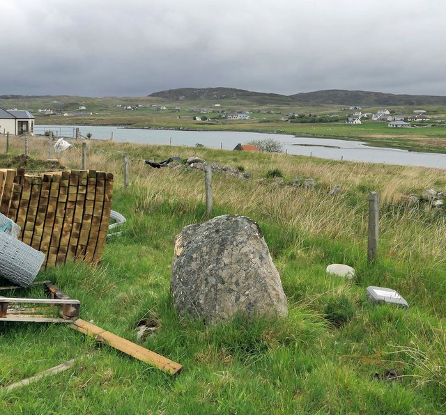
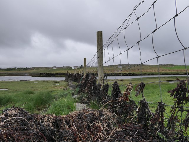
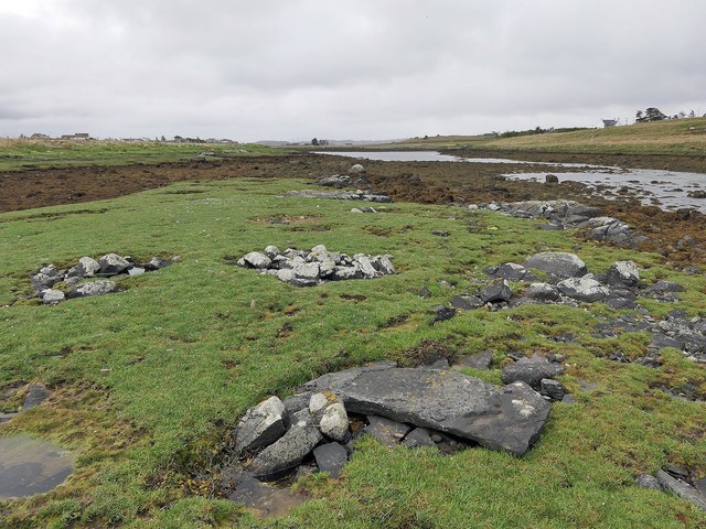
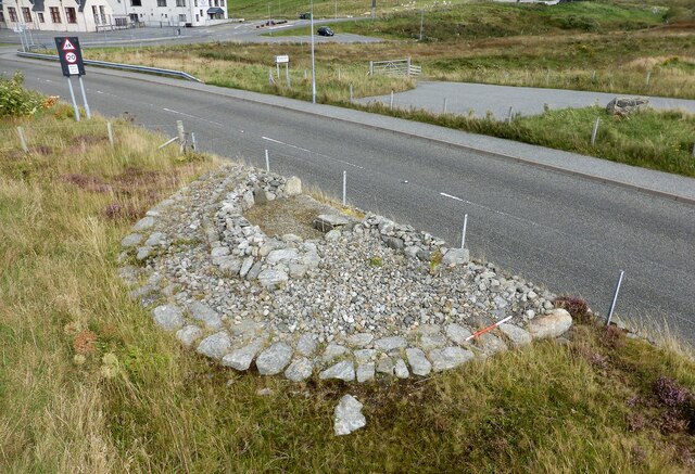
Mol Isteam

Beach in Ross-shire

Scotland

Mol Isteam

Croft near Breasclete
Croft near Breasclete Credit: David Dixon

The requested URL returned error: 429 Too Many Requests

If you have any feedback on the listing, please let us know in the comments section below.

Mol Isteam Images

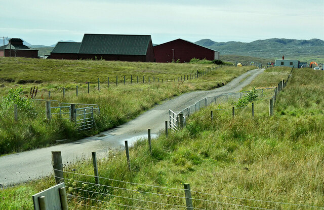
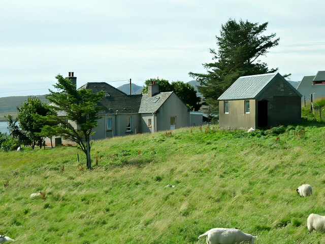
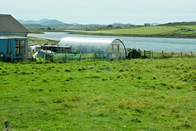
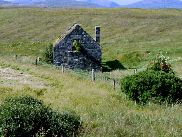
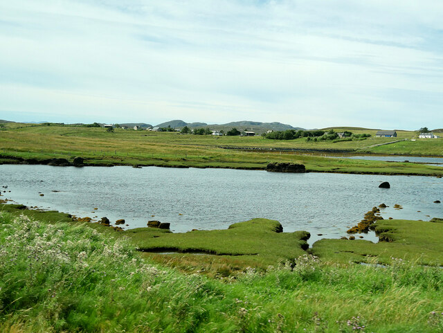
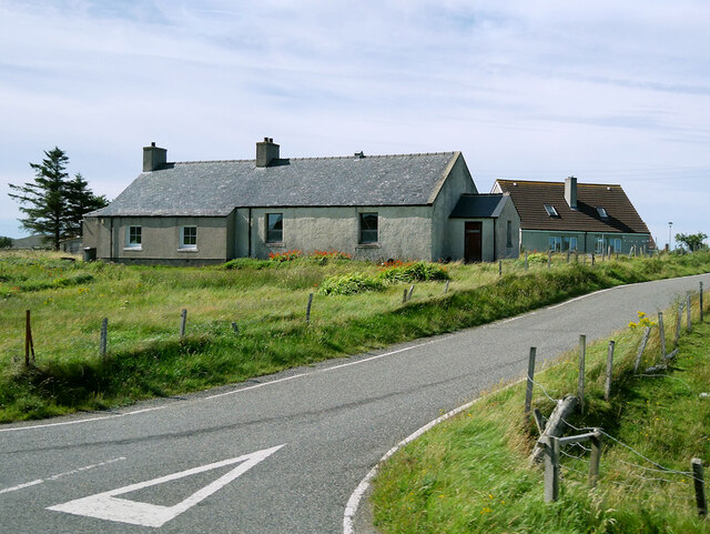
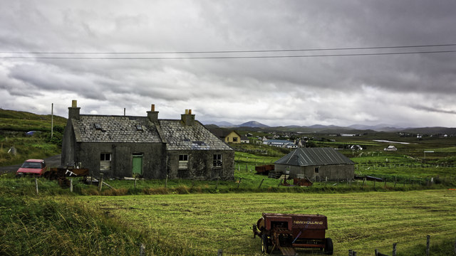
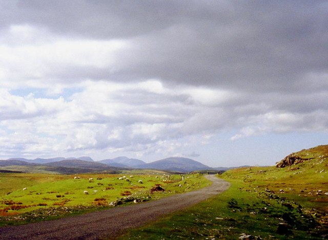
Images are sourced within 2km of 58.216259/-6.7496183 or Grid Reference NB2135. Thanks to Geograph Open Source API. All images are credited.

Croft near Breasclete
House on a hill near Breasclete
Farm Track at Breascleit
Sheep grazing at Breascleit
Polythene tunnel greenhouse on the shore of Loch Ròg an Ear
Derelict Mill near Breasclete
View towards Loch Gealava
Loch Gealava
Loch Gealava
Road to Callanish Callanish (Scottish Gaelic: Calanais) is a village (township) on the west side of the Isle of Lewis, alongside the A858, between Breasclete and Garynahine.
Road to Callanish
Callanish (Scottish Gaelic: Calanais) is a village (township) on the west side of the Isle of Lewis, alongside the A858, between Breasclete and Garynahine.
Abandoned Croft at Breascleit
Ruined house at Callanish The last house before one reaches the stones from the north. The roof is odd, with a normal gable at the near end, but one more like that used in blackhouse construction at the other. In Google Earth imagery from 2009 the roof was still intact, with thatch.
Ruined house at Callanish
The last house before one reaches the stones from the north. The roof is odd, with a normal gable at the near end, but one more like that used in blackhouse construction at the other. In Google Earth imagery from 2009 the roof was still intact, with thatch.
Pentland Road Better grazing as the road nears Breasclete.
Pentland Road
Better grazing as the road nears Breasclete.
Callanish village Seen from the Stones.
Callanish village
Seen from the Stones.
Calanais Village Just north of the stones.
Calanais Village
Just north of the stones.
Calanais/Callanish XVI, Calanais, Isle of Lewis From Discovery and Excavation in Scotland, 1976: "A standing stone approx. 0.95m high x 0.30m x 0.98m surrounded by packing stones. It stands approx.
800m due N of the centre of Callanish I."
Calanais/Callanish XVI, Calanais, Isle of Lewis
From Discovery and Excavation in Scotland, 1976: "A standing stone approx. 0.95m high x 0.30m x 0.98m surrounded by packing stones. It stands approx. 800m due N of the centre of Callanish I."
Fence by Loch Gealavat, Isle of Lewis Looking across Loch Gealavat and Tòb na Faodhail towards houses to the north of Calanais/Callanish village.
Fence by Loch Gealavat, Isle of Lewis
Looking across Loch Gealavat and Tòb na Faodhail towards houses to the north of Calanais/Callanish village.
Calanais/Callanish XIII, Calanais, Isle of Lewis This stone setting lies on a small island in Tòb na Faodhail and is described in the 1976 edition of Discovery and Excavation in Scotland as, "Four low piles of rounded stones; a hollow between them; a prostrate slab lying on the NW pile; all within an area 4m square. The rectangular slab, 1.30m x 0.55m x 0.09m (average), appears to have been worked".
Calanais/Callanish XIII, Calanais, Isle of Lewis
This stone setting lies on a small island in Tòb na Faodhail and is described in the 1976 edition of Discovery and Excavation in Scotland as, "Four low piles of rounded stones; a hollow between them; a prostrate slab lying on the NW pile; all within an area 4m square. The rectangular slab, 1.30m x 0.55m x 0.09m (average), appears to have been worked".
Breasclete Park cairn A cairn found, excavated and partly removed during road improvement works. <span class="nowrap"><a title="https://canmore.org.uk/site/110238/lewis-callanish-olcote-breasclete-park" rel="nofollow ugc noopener" href="https://canmore.org.uk/site/110238/lewis-callanish-olcote-breasclete-park">Link</a><img style="margin-left:2px;" alt="External link" title="External link - shift click to open in new window" src="https://s1.geograph.org.uk/img/external.png" width="10" height="10"/></span>
Breasclete Park cairn
A cairn found, excavated and partly removed during road improvement works. LinkExternal link
Show me another place!

Mol Isteam is located at Grid Ref: NB2135 (Lat: 58.216259, Lng: -6.7496183)

Unitary Authority: Na h-Eileanan an Iar

Police Authority: Highlands and Islands

What 3 Words

///chiefs.verdict.forgives. Near Carloway, Na h-Eileanan Siar

Related Wikis

Breasclete

Breasclete (Scottish Gaelic: Brèascleit) is a village and community on the west side of the Isle of Lewis, in the Outer Hebrides, Scotland. Breasclete...

Ceabhaigh

Ceabhaigh is a small island in an arm of Loch Ròg on the west coast of Lewis in the Outer Hebrides of Scotland. It is about 25 hectares (62 acres) in extent...

Callanish

Callanish (Scottish Gaelic: Calanais) is a village (township) on the west side of the Isle of Lewis, in the Outer Hebrides (Western Isles), Scotland. Callanish...

Eilean Chearstaidh

Eilean Kearstay (Scottish Gaelic: Eilean Chearstaigh) is an uninhabited island in Loch Roag in the Outer Hebrides of Scotland. It lies south east of Great...

Nearby Amenities

Located within 500m of 58.216259,-6.7496183
Breasclete
Naptan AtcoCode: 6010731572
Naptan Bearing: S
Naptan BusStopType: CUS
Naptan CommonName: Breasclete
Naptan Indicator: Village Road
Naptan Landmark: Main road junction
Naptan NaptanCode: 94723895
Naptan Street: Village Road
Naptan Verified: no
Source: naptan_import
Lat/Long: 58.2184179/-6.7496191
Crossing
Crossing: marked
Lat/Long: 58.2169585/-6.7553234
Source: Bing
Lat/Long: 58.2165734/-6.7480925
Source: Bing
Lat/Long: 58.2165041/-6.7481776
Source: Bing
Lat/Long: 58.2164325/-6.7479695
Source: Bing
Lat/Long: 58.2165024/-6.7478838
Source: Bing
Lat/Long: 58.2162892/-6.748003
Source: Bing
Lat/Long: 58.2163639/-6.7479076
Source: Bing
Lat/Long: 58.2163288/-6.7478085
Source: Bing
Lat/Long: 58.2162541/-6.7479039
Source: Bing
Lat/Long: 58.2163456/-6.7474342
Source: Bing
Lat/Long: 58.2162258/-6.7475577
Source: Bing
Lat/Long: 58.2161877/-6.7474246
Source: Bing
Lat/Long: 58.2163076/-6.747301
Source: Bing
Lat/Long: 58.2157618/-6.7460167
Source: Bing
Lat/Long: 58.2157673/-6.7461913
Source: Bing
Lat/Long: 58.215874/-6.7460447
Source: Bing
Lat/Long: 58.2157933/-6.7458331
Source: Bing
Lat/Long: 58.2163843/-6.7442962
Source: Bing
Lat/Long: 58.2163569/-6.7443293
Source: Bing
Lat/Long: 58.2164113/-6.7444916
Source: Bing
Lat/Long: 58.2164493/-6.7444457
Source: Bing
Lat/Long: 58.2164205/-6.7443599
Source: Bing
Lat/Long: 58.2164427/-6.744333
Source: Bing
Lat/Long: 58.2164092/-6.744233
Source: Bing
Lat/Long: 58.2163764/-6.7442727
Source: Bing
Lat/Long: 58.2162012/-6.7440229
Source: Bing
Lat/Long: 58.2162361/-6.7441274
Source: Bing
Lat/Long: 58.2162982/-6.7440526
Source: Bing
Lat/Long: 58.2162632/-6.7439481
Source: Bing
Lat/Long: 58.2160385/-6.7442567
Source: Bing
Lat/Long: 58.2161572/-6.7441273
Source: Bing
Lat/Long: 58.2161199/-6.7440036
Source: Bing
Lat/Long: 58.2160011/-6.744133
Source: Bing
Lat/Long: 58.2158503/-6.7432645
Source: Bing
Lat/Long: 58.2158278/-6.7431882
Source: Bing
Lat/Long: 58.215702/-6.7432566
Source: Bing
Lat/Long: 58.2157392/-6.7433826
Turning Circle
Lat/Long: 58.2168752/-6.7495699
Crossing
Crossing: marked
Lat/Long: 58.2171716/-6.7553193
Crossing
Crossing: marked
Lat/Long: 58.2168912/-6.7557988
Passing Place
Lat/Long: 58.2186042/-6.7558004
Passing Place
Lat/Long: 58.2192747/-6.7550252
Telephone
Booth: KX100
Covered: booth
Lat/Long: 58.2174148/-6.750582
Passing Place
Lat/Long: 58.2179988/-6.7455812
Power: pole
Lat/Long: 58.2167565/-6.7415859
Power: pole
Lat/Long: 58.2170264/-6.7420676
Power: pole
Lat/Long: 58.2175528/-6.742937
Power: pole
Lat/Long: 58.2180558/-6.7437842
Power: pole
Lat/Long: 58.2186587/-6.7448211
Power: pole
Lat/Long: 58.2191454/-6.7456393
Power: pole
Lat/Long: 58.2196718/-6.7465378
Power: pole
Lat/Long: 58.2199268/-6.7472336
Power: pole
Lat/Long: 58.2203447/-6.7482651
Power: pole
Lat/Long: 58.2175356/-6.7444224
Power: pole
Lat/Long: 58.2170315/-6.7444763
Power: pole
Lat/Long: 58.2165248/-6.7444653
Power: pole
Lat/Long: 58.2156806/-6.7444566
Power: pole
Lat/Long: 58.2163054/-6.7438637
Power: pole
Lat/Long: 58.2168947/-6.7434349
Power: pole
Lat/Long: 58.2179629/-6.7423771
Power: pole
Lat/Long: 58.2176034/-6.7553428
Power: pole
Lat/Long: 58.2177605/-6.7552517
Power: pole
Lat/Long: 58.2179331/-6.7551753
Power: pole
Lat/Long: 58.2184471/-6.7549338
Power: pole
Lat/Long: 58.2188456/-6.7547588
Power: pole
Lat/Long: 58.2196053/-6.7543126
Power: pole
Lat/Long: 58.2195149/-6.7477467
Power: pole
Lat/Long: 58.2189665/-6.7483349
Power: pole
Lat/Long: 58.2184731/-6.7489206
Power: pole
Lat/Long: 58.2179674/-6.7494007
Power: pole
Lat/Long: 58.2183796/-6.7509242
Power: pole
Lat/Long: 58.2182485/-6.7504264
Power: pole
Lat/Long: 58.2181252/-6.7499532
Power: pole
Lat/Long: 58.2176099/-6.7488081
Power: pole
Lat/Long: 58.2174477/-6.7484327
Power: pole
Lat/Long: 58.2171225/-6.7486138
Power: pole
Lat/Long: 58.2168688/-6.7487383
Power: pole
Lat/Long: 58.2167156/-6.7483267
Power: pole
Lat/Long: 58.2179448/-6.7461038
Power: pole
Lat/Long: 58.2178106/-6.746994
Power: pole
Lat/Long: 58.2176817/-6.7479349
Power: pole
Lat/Long: 58.2175287/-6.7495161
Power: pole
Lat/Long: 58.2174452/-6.7504062
Power: pole
Lat/Long: 58.2172693/-6.7518134
Power: pole
Lat/Long: 58.2171906/-6.7524821
Power: pole
Lat/Long: 58.218149/-6.7453628
Power: pole
Lat/Long: 58.2201964/-6.7462484
Barrier: cattle_grid
Lat/Long: 58.218051/-6.7455515
Barrier: cattle_grid
Lat/Long: 58.2180567/-6.7447133
Barrier: cattle_grid
Lat/Long: 58.2181021/-6.7440514
Barrier: cattle_grid
Lat/Long: 58.2159608/-6.7457264
Post Box
Post Box Type: lamp
Royal Cypher: scottish_crown
Lat/Long: 58.2174142/-6.7506848
Generator Method: photovoltaic
Generator Output Electricity: small_installation
Generator Source: solar
Generator Type: solar_photovoltaic_panel
Power: generator
Lat/Long: 58.2167088/-6.7466415
The data included in this document is from www.openstreetmap.org. The data is made available under ODbL.

Have you been to Mol Isteam?

Leave your review of Mol Isteam below (or comments, questions and feedback).