Cnoc Borasdale
Hill, Mountain in Ross-shire
Scotland
Cnoc Borasdale

Cnoc Borasdale, located in Ross-shire, Scotland, is a prominent hill/mountain that offers breathtaking views and a range of outdoor activities. With an elevation of approximately 458 meters (1,503 feet), it is a popular destination for hikers, nature enthusiasts, and adventurers.
The hill/mountain is situated within the stunning Wester Ross region, known for its dramatic landscapes and rugged beauty. Cnoc Borasdale is part of the larger Torridon Hills, which are renowned for their distinctive, rocky peaks and imposing terrain.
The ascent of Cnoc Borasdale is relatively moderate, making it accessible to individuals of varying fitness levels. As visitors make their way up the hill/mountain, they are rewarded with panoramic vistas of the surrounding countryside, including picturesque lochs, ancient forests, and the awe-inspiring Torridon mountain range.
For those seeking more adventure, Cnoc Borasdale is also a popular spot for rock climbing. Its steep slopes and craggy ridges offer a challenging experience for climbers, with routes available for both beginners and experienced climbers.
Wildlife enthusiasts will be delighted by the diverse flora and fauna that call Cnoc Borasdale home. The hill/mountain is home to a variety of bird species, including golden eagles, and it is not uncommon to spot red deer and mountain hares in the area.
Overall, Cnoc Borasdale in Ross-shire provides a fantastic opportunity for outdoor exploration, whether it be hiking, climbing, or simply immersing oneself in the natural beauty of the Scottish Highlands.
If you have any feedback on the listing, please let us know in the comments section below.
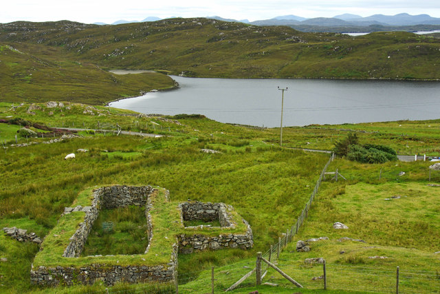
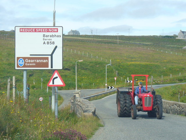
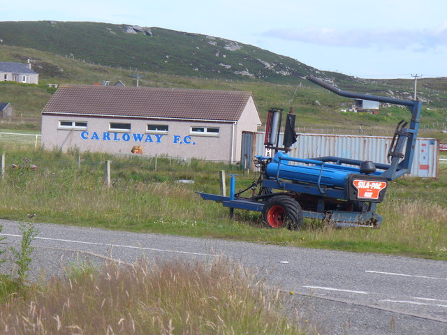
Cnoc Borasdale Images
Images are sourced within 2km of 58.270176/-6.7592895 or Grid Reference NB2141. Thanks to Geograph Open Source API. All images are credited.


Cnoc Borasdale is located at Grid Ref: NB2141 (Lat: 58.270176, Lng: -6.7592895)
Unitary Authority: Na h-Eileanan an Iar
Police Authority: Highlands and Islands
What 3 Words
///fixed.ounce.simulator. Near Carloway, Na h-Eileanan Siar
Nearby Locations
Related Wikis

Carloway
Carloway (Scottish Gaelic: Càrlabhagh [ˈkʰaːɾɫ̪ə.ɤː]) is a crofting township and a district on the west coast of the Isle of Lewis, in the Outer Hebrides...

Dun Carloway
Dun Carloway (Scottish Gaelic: Dùn Chàrlabhaigh) is a broch situated in the district of Carloway, on the west coast of the Isle of Lewis, Scotland (grid...

Borrowston, Lewis
Borrowston (Scottish Gaelic: Borghastan), with a population of about 50, is a crofting township situated on the Isle of Lewis, on the Outer Hebrides of...

Garenin
Garenin (Scottish Gaelic: Na Gearrannan) is a crofting township on the west coast of the Isle of Lewis in the Outer Hebrides of Scotland. Garenin is in...

Tolsta Chaolais
Tolsta Chaolais (also Tolastadh Chaolais, Tolstadh a' Chaolais) is a village on the Isle of Lewis, Scotland. It consists of about forty houses, clustered...

Breasclete
Breasclete (Scottish Gaelic: Brèascleit) is a village and community on the west side of the Isle of Lewis, in the Outer Hebrides, Scotland. Breasclete...

Lewis and Harris
Lewis and Harris (Scottish Gaelic: Leòdhas agus Na Hearadh, Scots: Lewis an Harris), or Lewis with Harris, is a single Scottish island in the Outer Hebrides...

Ceabhaigh
Ceabhaigh is a small island in an arm of Loch Ròg on the west coast of Lewis in the Outer Hebrides of Scotland. It is about 25 hectares (62 acres) in extent...
Nearby Amenities
Located within 500m of 58.270176,-6.7592895Have you been to Cnoc Borasdale?
Leave your review of Cnoc Borasdale below (or comments, questions and feedback).