Sìdhean an Fhas Uillt
Hill, Mountain in Ross-shire
Scotland
Sìdhean an Fhas Uillt

Sìdhean an Fhas Uillt is a prominent hill located in Ross-shire, Scotland. It is part of the larger Fannichs mountain range, which is known for its stunning natural beauty and rugged landscape. Standing at an elevation of 1,059 meters (3,474 feet), Sìdhean an Fhas Uillt offers breathtaking panoramic views of the surrounding area.
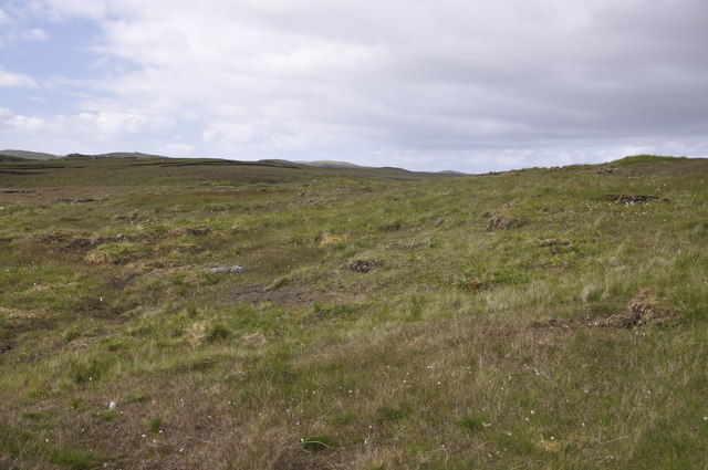
The name Sìdhean an Fhas Uillt translates to "hill of the green wilderness" in Gaelic, which aptly describes the lush vegetation and unspoiled wilderness that characterizes this mountain. The hill is covered with a mix of heather, grasses, and mosses, creating a vibrant and diverse ecosystem.
Hiking enthusiasts are drawn to Sìdhean an Fhas Uillt for its challenging yet rewarding trails. The most popular route to the summit starts from the A832 road near Achnasheen and follows a well-defined path. The ascent can be demanding, with steep sections and rocky terrain, but the effort is well worth it once you reach the top.
From the summit, one can enjoy breathtaking views of Loch Fannich, Loch a' Bhraoin, and the surrounding mountains. On a clear day, it is even possible to see as far as Ben Wyvis and the Cuillin Hills on the Isle of Skye.
Sìdhean an Fhas Uillt is a haven for wildlife, with various bird species, including golden eagles and ptarmigans, frequently spotted in the area. Red deer and mountain hares are also common sights for those exploring the hill.
Overall, Sìdhean an Fhas Uillt is a must-visit destination for outdoor enthusiasts seeking a challenging hike and stunning natural beauty in the heart of the Scottish Highlands.
If you have any feedback on the listing, please let us know in the comments section below.
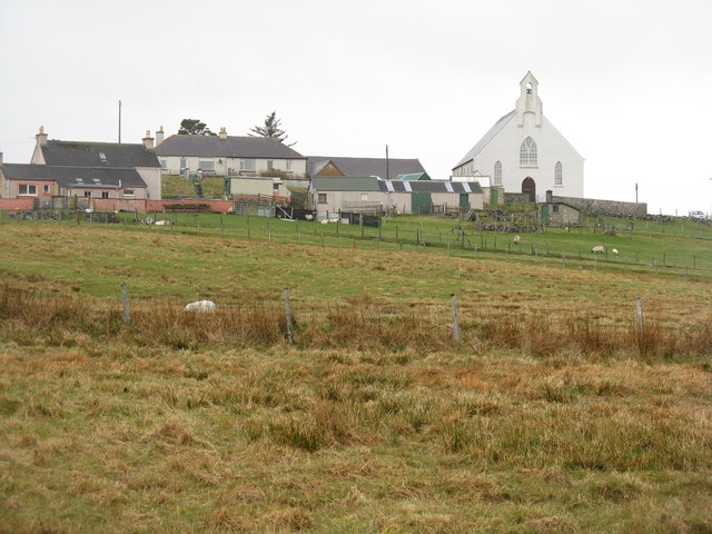
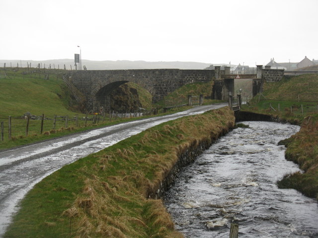
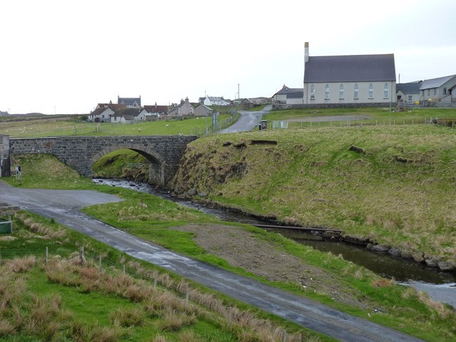
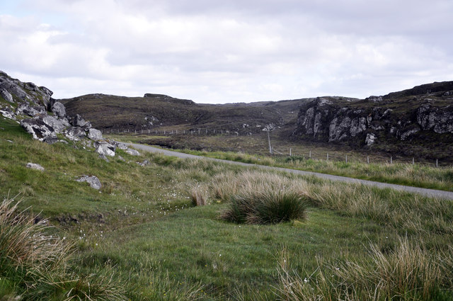
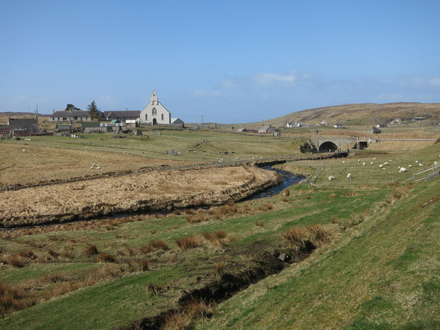
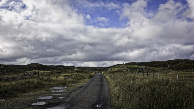
Sìdhean an Fhas Uillt Images
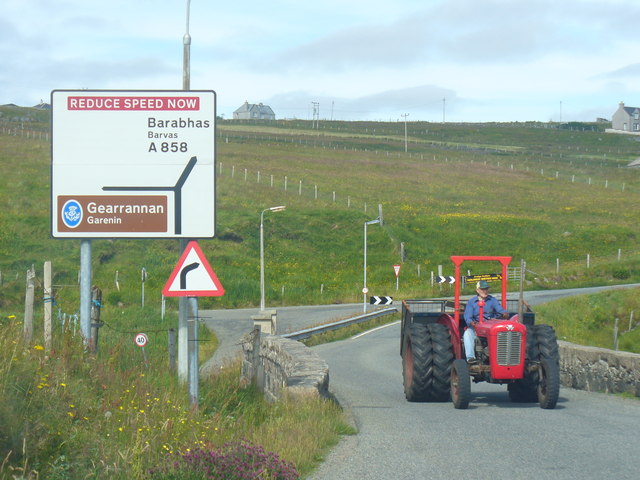
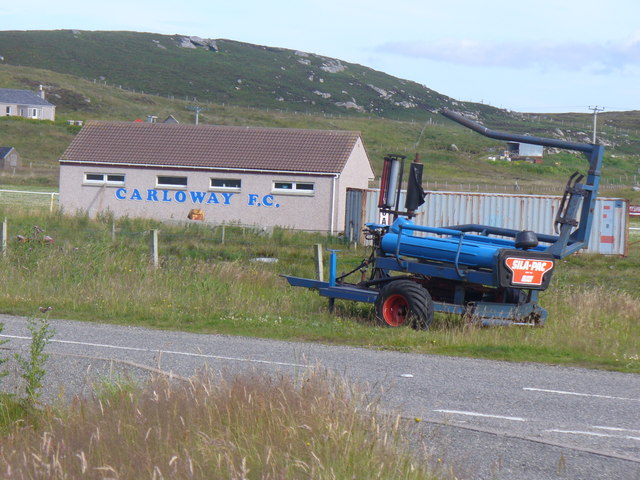
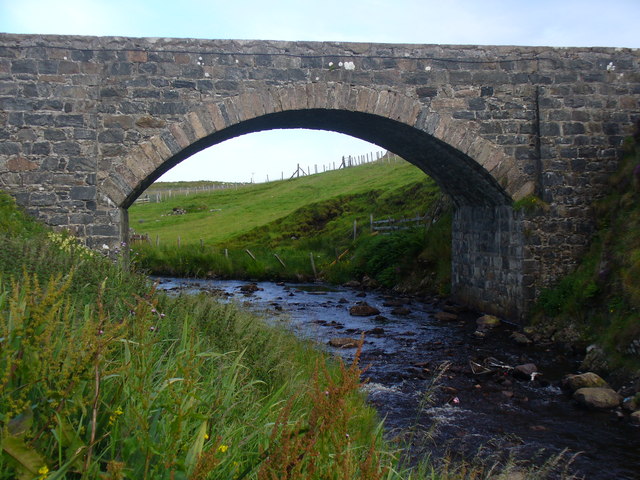
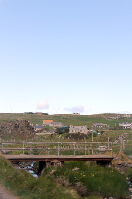
Images are sourced within 2km of 58.270433/-6.7536048 or Grid Reference NB2141. Thanks to Geograph Open Source API. All images are credited.


Sìdhean an Fhas Uillt is located at Grid Ref: NB2141 (Lat: 58.270433, Lng: -6.7536048)
Unitary Authority: Na h-Eileanan an Iar
Police Authority: Highlands and Islands
What 3 Words
///woods.cleanser.yards. Near Carloway, Na h-Eileanan Siar
Nearby Locations
Related Wikis

Carloway
Carloway (Scottish Gaelic: Càrlabhagh [ˈkʰaːɾɫ̪ə.ɤː]) is a crofting township and a district on the west coast of the Isle of Lewis, in the Outer Hebrides...

Dun Carloway
Dun Carloway (Scottish Gaelic: Dùn Chàrlabhaigh) is a broch situated in the district of Carloway, on the west coast of the Isle of Lewis, Scotland (grid...

Borrowston, Lewis
Borrowston (Scottish Gaelic: Borghastan), with a population of about 50, is a crofting township situated on the Isle of Lewis, on the Outer Hebrides of...

Garenin
Garenin (Scottish Gaelic: Na Gearrannan) is a crofting township on the west coast of the Isle of Lewis in the Outer Hebrides of Scotland. Garenin is in...

Tolsta Chaolais
Tolsta Chaolais (also Tolastadh Chaolais, Tolstadh a' Chaolais) is a village on the Isle of Lewis, Scotland. It consists of about forty houses, clustered...

Lewis and Harris
Lewis and Harris (Scottish Gaelic: Leòdhas agus Na Hearadh, Scots: Lewis an Harris), or Lewis with Harris, is a single Scottish island in the Outer Hebrides...

Breasclete
Breasclete (Scottish Gaelic: Brèascleit) is a village and community on the west side of the Isle of Lewis, in the Outer Hebrides, Scotland. Breasclete...

Ceabhaigh
Ceabhaigh is a small island in an arm of Loch Ròg on the west coast of Lewis in the Outer Hebrides of Scotland. It is about 25 hectares (62 acres) in extent...
Nearby Amenities
Located within 500m of 58.270433,-6.7536048Have you been to Sìdhean an Fhas Uillt?
Leave your review of Sìdhean an Fhas Uillt below (or comments, questions and feedback).