Cnoc Breac
Hill, Mountain in Ross-shire
Scotland
Cnoc Breac

Cnoc Breac is a prominent hill located in the county of Ross-shire, Scotland. It is situated near the small village of Achnasheen, in the Northwest Highlands. With an elevation of approximately 718 meters (2,356 feet), Cnoc Breac is not classified as a mountain but is often referred to as such due to its impressive stature.
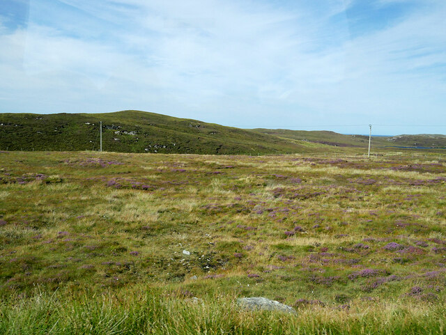
The hill is characterized by its rugged and rocky terrain, offering a challenging climb for outdoor enthusiasts. Its slopes are covered in heather and grasses, providing a beautiful display of colors during the summer months. Cnoc Breac is part of the larger mountain range known as the Torridon Hills, which boasts some of the most breathtaking landscapes in Scotland.
From the summit of Cnoc Breac, visitors are rewarded with panoramic views of the surrounding countryside, including the picturesque Loch Maree and the nearby hills and mountains. On a clear day, it is even possible to see the Isle of Skye in the distance.
The hill is a popular destination for hikers and climbers, with various routes available to suit different levels of experience and fitness. It is advisable to come prepared with appropriate clothing and equipment, as the weather conditions in this region can change rapidly.
Overall, Cnoc Breac is a stunning natural landmark in Ross-shire, offering outdoor enthusiasts the opportunity to experience the beauty and serenity of the Scottish Highlands.
If you have any feedback on the listing, please let us know in the comments section below.
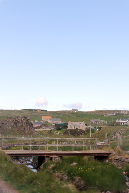
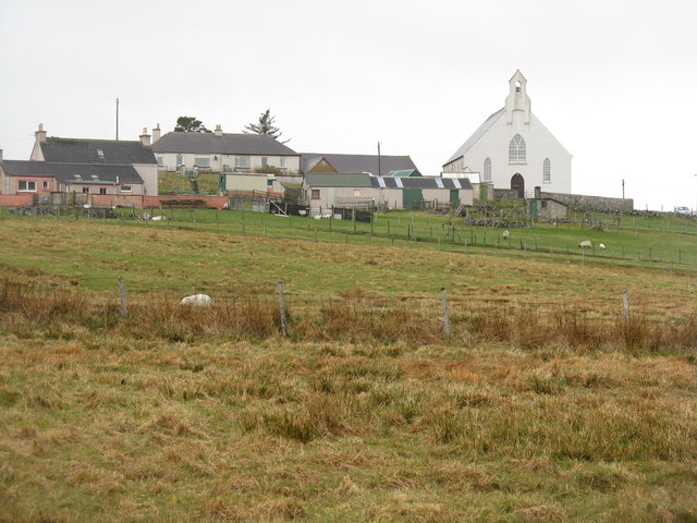
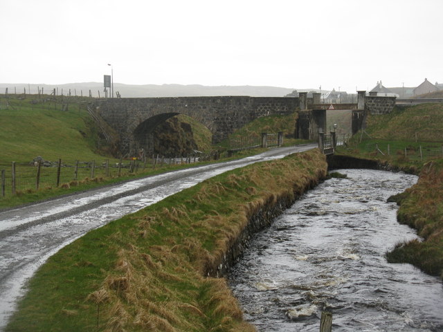
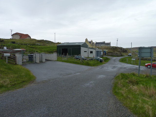
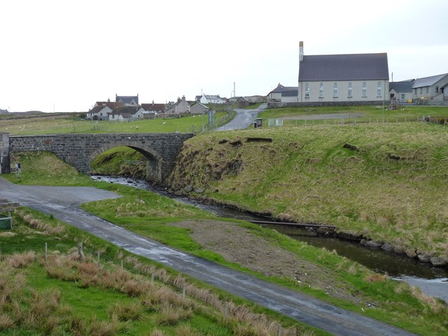
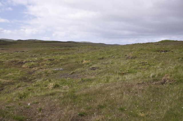
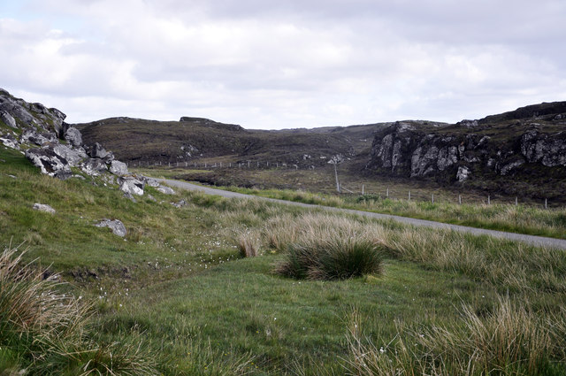
Cnoc Breac Images
Images are sourced within 2km of 58.276326/-6.7499565 or Grid Reference NB2141. Thanks to Geograph Open Source API. All images are credited.


Cnoc Breac is located at Grid Ref: NB2141 (Lat: 58.276326, Lng: -6.7499565)
Unitary Authority: Na h-Eileanan an Iar
Police Authority: Highlands and Islands
What 3 Words
///bulky.slider.polished. Near Carloway, Na h-Eileanan Siar
Related Wikis

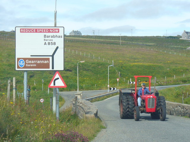
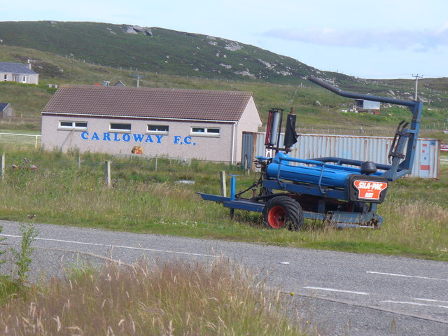
Carloway
Carloway (Scottish Gaelic: Càrlabhagh [ˈkʰaːɾɫ̪ə.ɤː]) is a crofting township and a district on the west coast of the Isle of Lewis, in the Outer Hebrides...

Borrowston, Lewis
Borrowston (Scottish Gaelic: Borghastan), with a population of about 50, is a crofting township situated on the Isle of Lewis, on the Outer Hebrides of...

Dun Carloway
Dun Carloway (Scottish Gaelic: Dùn Chàrlabhaigh) is a broch situated in the district of Carloway, on the west coast of the Isle of Lewis, Scotland (grid...

Garenin
Garenin (Scottish Gaelic: Na Gearrannan) is a crofting township on the west coast of the Isle of Lewis in the Outer Hebrides of Scotland. Garenin is in...
Nearby Amenities
Located within 500m of 58.276326,-6.7499565Have you been to Cnoc Breac?
Leave your review of Cnoc Breac below (or comments, questions and feedback).