Cnoc na Buaile

Hill, Mountain in Argyllshire

Scotland

Cnoc na Buaile
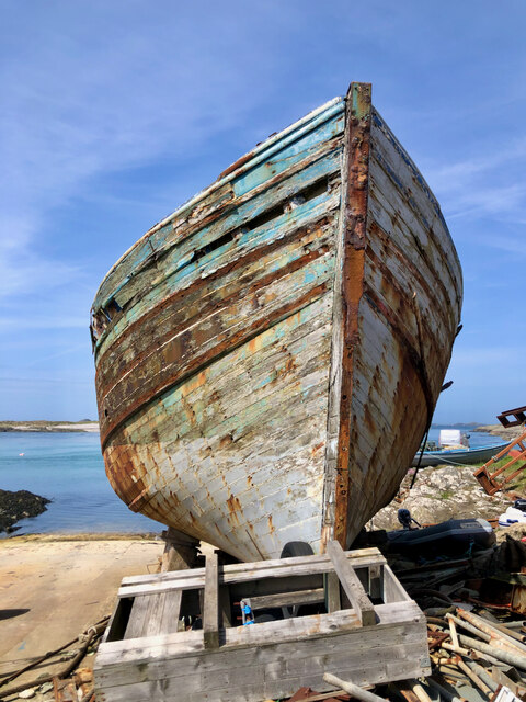
Boat under repair
Boat under repair Credit: Mick Garratt

Cnoc na Buaile, also known as Cnoc na Boille, is a hill located in Argyllshire, Scotland. Situated in the southern part of Argyll and Bute, it is part of the wider mountainous region known as the Scottish Highlands. Cnoc na Buaile stands at an elevation of approximately 416 meters (1,365 feet) above sea level.

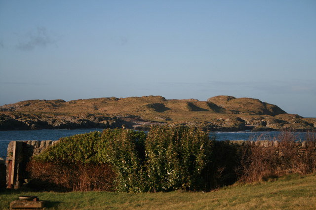
The hill is characterized by its rugged and rocky terrain, typical of the Scottish Highlands. It is covered in heather and grasses, providing a habitat for various wildlife species. The summit of Cnoc na Buaile offers panoramic views of the surrounding landscape, including nearby mountains, lochs, and the picturesque countryside.

Hikers and outdoor enthusiasts are drawn to Cnoc na Buaile for its scenic beauty and the opportunity to explore the Scottish wilderness. There are several walking trails and paths that lead to the summit, catering to different levels of difficulty and fitness.

The hill is easily accessible from nearby towns and villages, with parking and designated starting points available for hikers. Along the way, visitors may encounter remnants of ancient settlements or archaeological sites, adding an element of historical interest to the experience.

Cnoc na Buaile provides a peaceful and tranquil environment, ideal for those seeking solitude and a connection with nature. Whether it's for a challenging hike or a leisurely stroll, this hill in Argyllshire offers an authentic Scottish Highlands experience.

If you have any feedback on the listing, please let us know in the comments section below.

Cnoc na Buaile Images

Images are sourced within 2km of 55.677047/-6.4905269 or Grid Reference NR1751. Thanks to Geograph Open Source API. All images are credited.

Boat under repair
Boat under repair
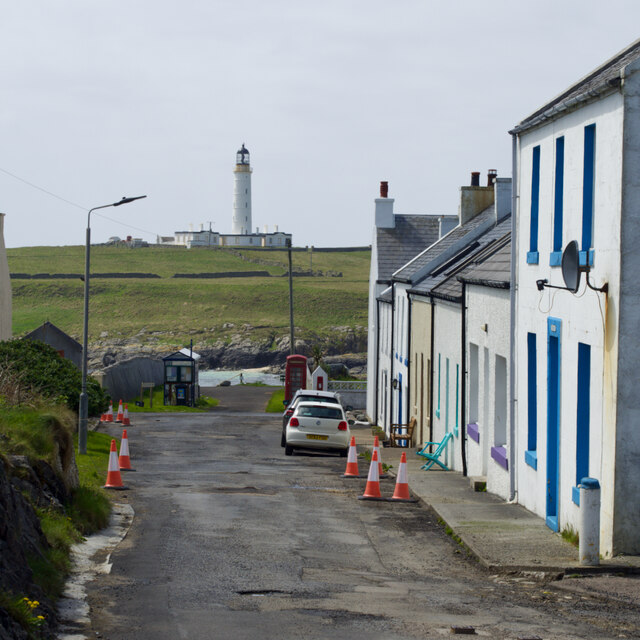
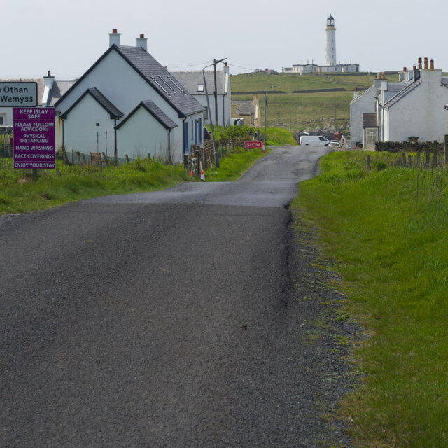
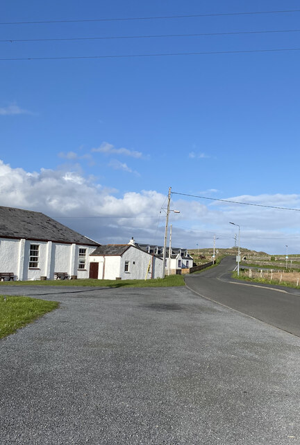
Main Street, Port Wemyss/Bun Othan
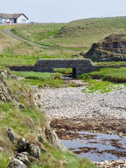
Caolas na Cor-sgeire
Main Street, Port Wemyss/Bun Othan
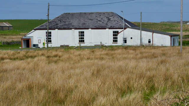
Village Hall
Village Hall
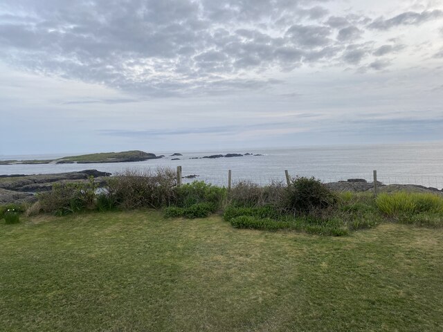
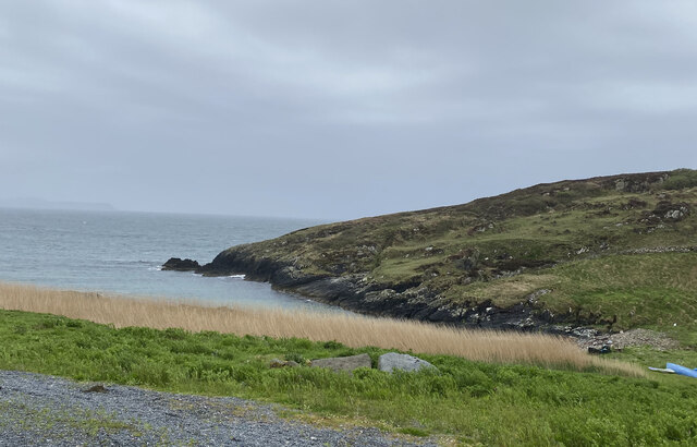
Coastal views from holiday cottage
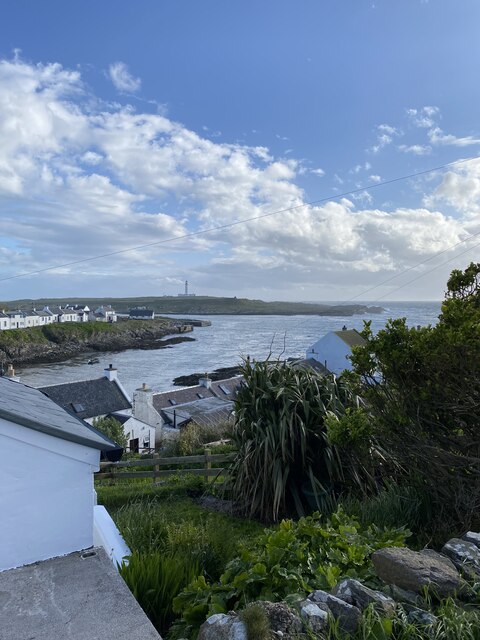
Portnahaven
Portnahaven
Views out to sea Portnahaven
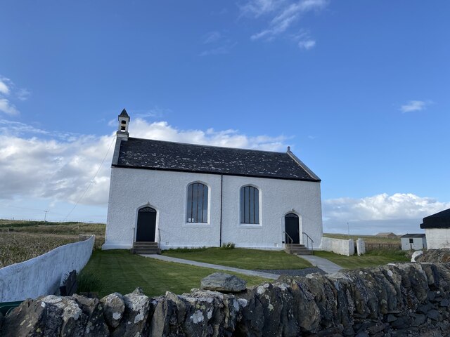
Portnahaven, Parish Church
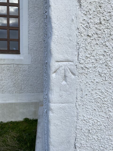
OS Cut Mark - Portnahaven, Parish Church <span class="nowrap"><a title="https://www.bench-marks.org.uk/bm58120" rel="nofollow ugc noopener" href="https://www.bench-marks.org.uk/bm58120">Link</a><img style="margin-left:2px;" alt="External link" title="External link - shift click to open in new window" src="https://s1.geograph.org.uk/img/external.png" width="10" height="10"/></span>
OS Cut Mark - Portnahaven, Parish Church
View to Orsay from Port Wemyss
Port Ellister
Port Ellister
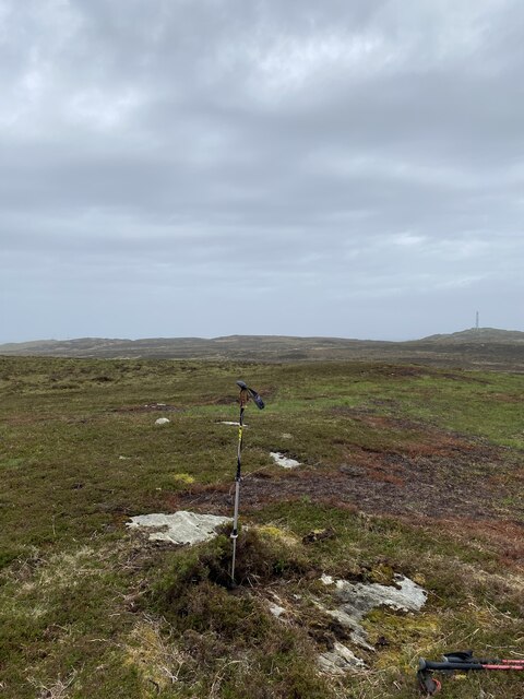
Location of Cnoc Undail OS Pipe <span class="nowrap"><a title="http://trigpointing.uk/trig/9482" rel="nofollow ugc noopener" href="http://trigpointing.uk/trig/9482">Link</a><img style="margin-left:2px;" alt="External link" title="External link - shift click to open in new window" src="https://s1.geograph.org.uk/img/external.png" width="10" height="10"/></span>
Location of Cnoc Undail OS Pipe
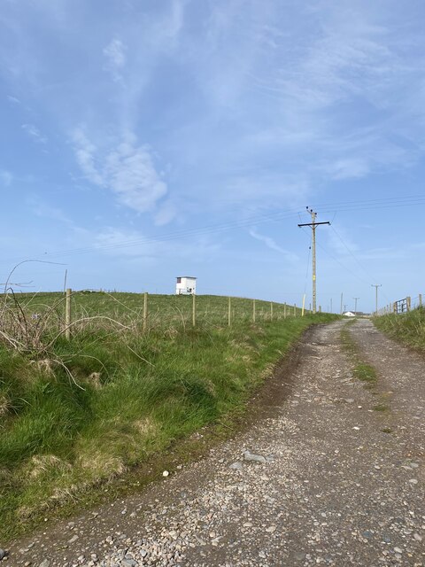
Former Portnahaven Coast Guard Lookout
Portnahaven
Portnahaven
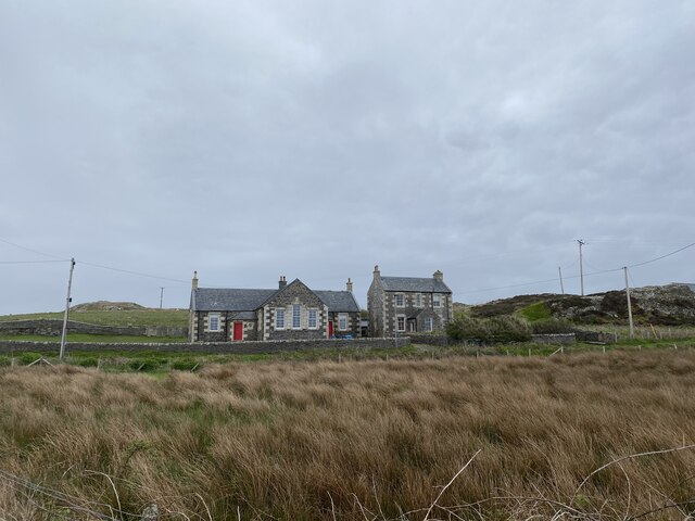
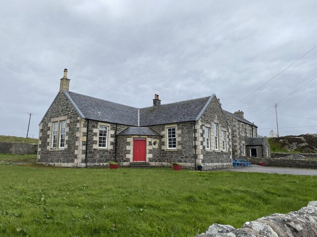
Former school, Portnahaven Now a holiday let.
Former school, Portnahaven
Now a holiday let.
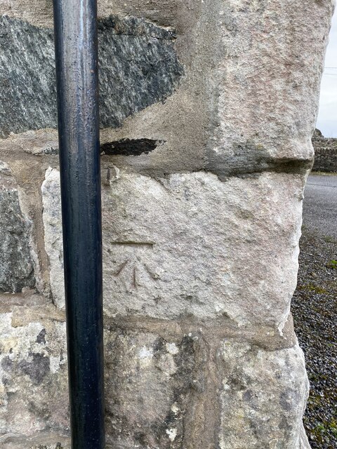
OS Cut Mark - Portnahaven, Old School <span class="nowrap"><a title="https://www.bench-marks.org.uk/bm58122" rel="nofollow ugc noopener" href="https://www.bench-marks.org.uk/bm58122">Link</a><img style="margin-left:2px;" alt="External link" title="External link - shift click to open in new window" src="https://s1.geograph.org.uk/img/external.png" width="10" height="10"/></span>
OS Cut Mark - Portnahaven, Old School
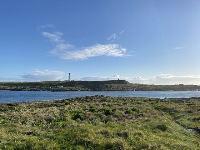
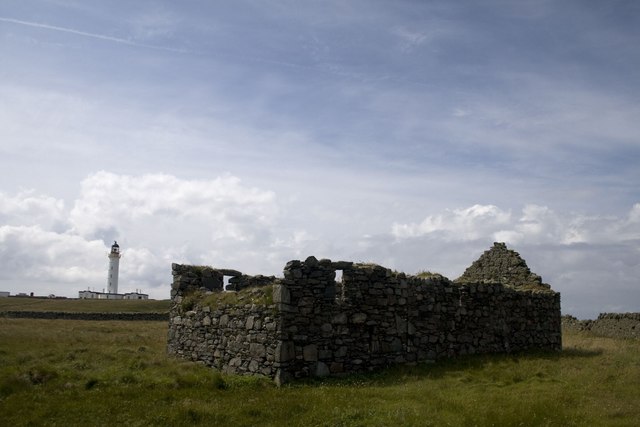
Orsay Chapel and Lighthouse, Islay Orsay is a tiny island situated off the Rhinns peninsula on Islay's west coast. It is uninhabited now, but once was home to the lighthouse keeper and his family and, before that, presumably to a religious community.
Orsay Chapel and Lighthouse, Islay
Orsay is a tiny island situated off the Rhinns peninsula on Islay's west coast. It is uninhabited now, but once was home to the lighthouse keeper and his family and, before that, presumably to a religious community.
Show me another place!

Cnoc na Buaile is located at Grid Ref: NR1751 (Lat: 55.677047, Lng: -6.4905269)

Unitary Authority: Argyll and Bute

Police Authority: Argyll and West Dunbartonshire

What 3 Words

///jousting.unafraid.surround. Near Portnahaven, Argyll & Bute

Related Wikis

Portnahaven

Portnahaven (Scottish Gaelic: Port na h-Abhainne, meaning river port) is a village on Islay in the Inner Hebrides, Scotland. The village is within the...

Orsay, Inner Hebrides

Orsay (Scottish Gaelic: Orasaigh) is a small island in the Inner Hebrides of Scotland. It lies a short distance off the west coast of the island of Islay...

Eilean Mhic Coinnich

Eilean Mhic Coinnich, also known as Mackenzie Island (although recorded on the Land Register as McKenseys Island), is an uninhabited island of 17.3 hectares...

Islay LIMPET

Islay LIMPET was the world's first commercial wave power device and was connected to the United Kingdom's National Grid. == History == Islay LIMPET (Land...

Nearby Amenities

Located within 500m of 55.677047,-6.4905269
Power: pole
Lat/Long: 55.6811929/-6.4890364
Power: pole
Lat/Long: 55.6806999/-6.4889337
Power: pole
Lat/Long: 55.680775/-6.4875651
Power: pole
Lat/Long: 55.680486/-6.4928341
Passing Place
Lat/Long: 55.6808578/-6.4925176
Material: wood
Power: pole
Lat/Long: 55.6803541/-6.4949869
Material: wood
Power: pole
Lat/Long: 55.6804188/-6.4939717
Power: pole
Lat/Long: 55.6805609/-6.4915332
Power: pole
Lat/Long: 55.6806238/-6.4903476
Power: pole
Lat/Long: 55.6808255/-6.4867057
The data included in this document is from www.openstreetmap.org. The data is made available under ODbL.

Have you been to Cnoc na Buaile?

Leave your review of Cnoc na Buaile below (or comments, questions and feedback).