Geodha Gorm
Coastal Feature, Headland, Point in Argyllshire
Scotland
Geodha Gorm

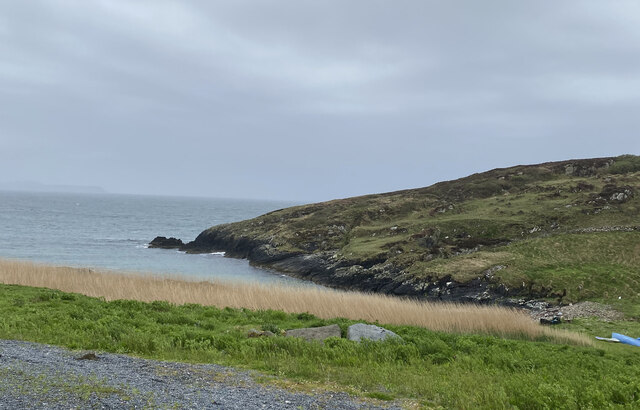
Geodha Gorm is a picturesque coastal feature located in Argyllshire, Scotland. This stunning headland, also referred to as a point, is renowned for its breathtaking views and rugged beauty. Geodha Gorm is situated on the western coast of Scotland, offering visitors a mesmerizing vista of the Atlantic Ocean.
The headland is characterized by its towering cliffs, which provide a dramatic backdrop to the crashing waves below. The cliffs are composed of ancient rock formations, showcasing layers of sedimentary rock that have been shaped by the relentless forces of nature over millions of years.
Geodha Gorm is also home to a diverse range of flora and fauna. The headland provides a habitat for various seabird species, including puffins, guillemots, and razorbills. Visitors can often witness these magnificent creatures soaring above the cliffs or nesting in the rocky crevices.
The coastal path leading to Geodha Gorm offers a thrilling hiking experience, attracting outdoor enthusiasts from all over the world. The trail meanders along the cliff edge, providing panoramic views of the surrounding coastline and the vast expanse of the Atlantic Ocean.
During low tide, visitors can explore the rocky shoreline, uncovering an array of marine life such as crabs, starfish, and colorful seaweed. The headland also offers opportunities for fishing and sea kayaking, allowing visitors to immerse themselves in the natural beauty and tranquility of this coastal gem.
Geodha Gorm is a must-visit destination for nature lovers, photographers, and those seeking a peaceful retreat amidst the awe-inspiring Scottish scenery.
If you have any feedback on the listing, please let us know in the comments section below.
Geodha Gorm Images
Images are sourced within 2km of 55.672038/-6.4887741 or Grid Reference NR1751. Thanks to Geograph Open Source API. All images are credited.


Geodha Gorm is located at Grid Ref: NR1751 (Lat: 55.672038, Lng: -6.4887741)
Unitary Authority: Argyll and Bute
Police Authority: Argyll and West Dunbartonshire
What 3 Words
///trades.quote.tensions. Near Portnahaven, Argyll & Bute
Related Wikis

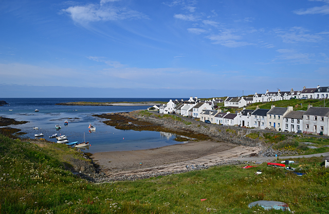
Portnahaven
Portnahaven (Scottish Gaelic: Port na h-Abhainne, meaning river port) is a village on Islay in the Inner Hebrides, Scotland. The village is within the...

Orsay, Inner Hebrides
Orsay (Scottish Gaelic: Orasaigh) is a small island in the Inner Hebrides of Scotland. It lies a short distance off the west coast of the island of Islay...

Eilean Mhic Coinnich
Eilean Mhic Coinnich, also known as Mackenzie Island (although recorded on the Land Register as McKenseys Island), is an uninhabited island of 17.3 hectares...

Islay LIMPET
Islay LIMPET was the world's first commercial wave power device and was connected to the United Kingdom's National Grid. == History == Islay LIMPET (Land...
Nearby Amenities
Located within 500m of 55.672038,-6.4887741Have you been to Geodha Gorm?
Leave your review of Geodha Gorm below (or comments, questions and feedback).