Cnoc an Tobair
Hill, Mountain in Argyllshire
Scotland
Cnoc an Tobair
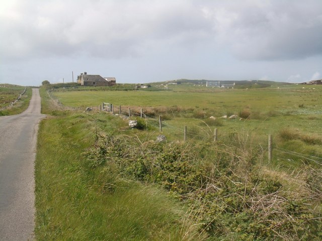
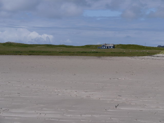
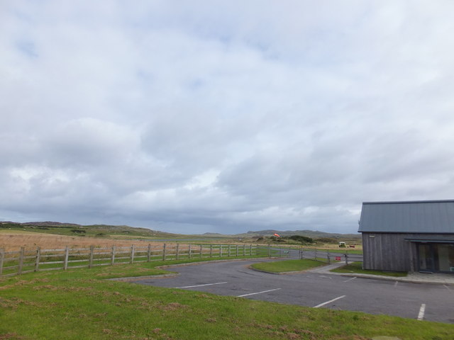
Cnoc an Tobair, located in Argyllshire, Scotland, is a prominent hill/mountain that stands at an elevation of approximately 252 meters (827 feet). It is situated in a rural area, surrounded by breathtaking landscapes and scenic beauty.
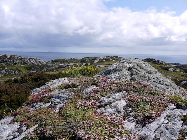
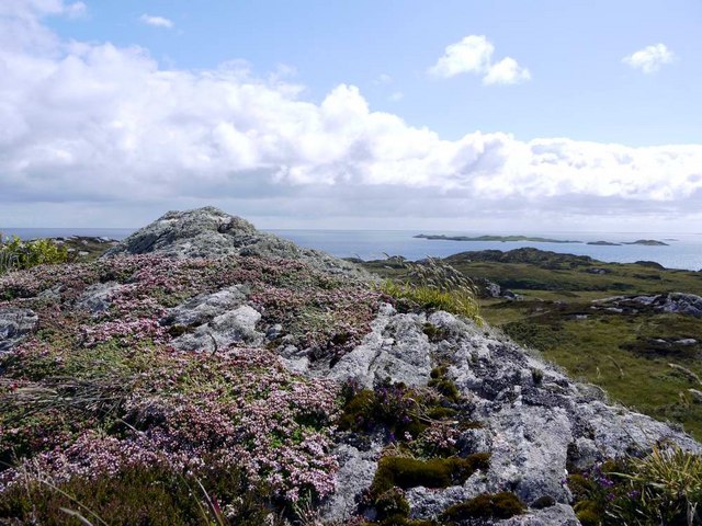
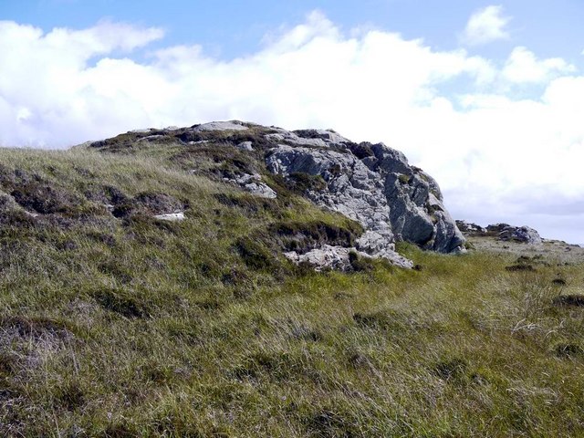
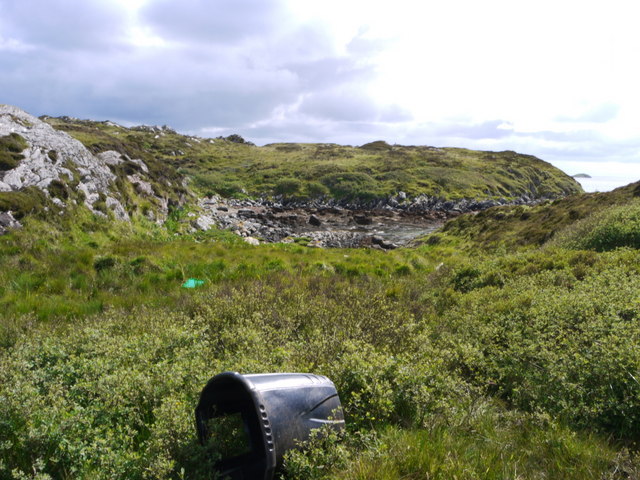
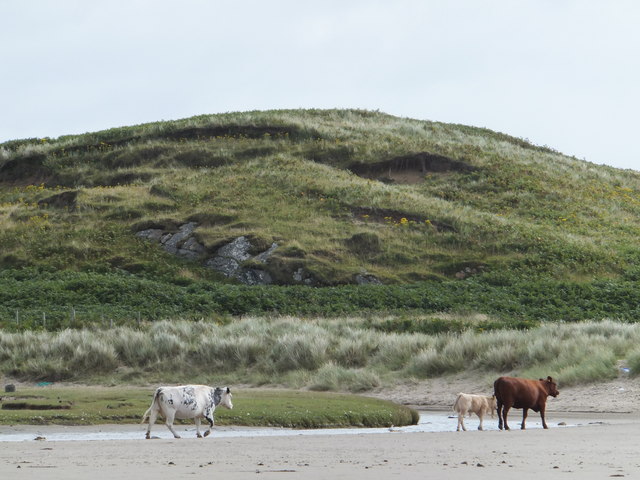
The hill/mountain is characterized by its steep and rugged terrain, with rocky outcrops and slopes covered in heather and grasses. It offers a challenging but rewarding hiking experience for outdoor enthusiasts, providing panoramic views of the surrounding countryside and nearby lochs.
Cnoc an Tobair is known for its rich historical and cultural significance. The area is steeped in ancient folklore and legends, with tales of hidden treasures and mythical creatures associated with the hill/mountain. It is believed to have served as a gathering place for local communities in ancient times.
Nature enthusiasts visiting Cnoc an Tobair can expect to encounter a variety of flora and fauna. The hill/mountain is home to a diverse range of plant species, including wildflowers, mosses, and ferns. Birdwatchers may spot several species of birds, such as golden eagles, buzzards, and peregrine falcons, soaring above the hill/mountain.
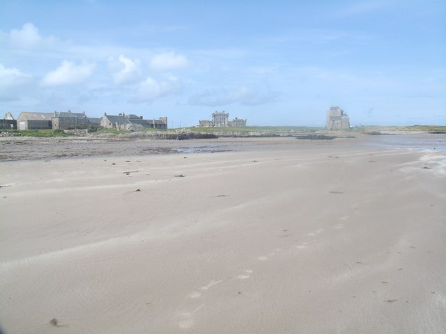
The summit of Cnoc an Tobair offers breathtaking views of the surrounding landscape, including nearby lochs, rolling hills, and distant mountains. On a clear day, visitors can even catch a glimpse of the stunning coastline and the nearby islands.
Overall, Cnoc an Tobair is a picturesque and historically significant hill/mountain that provides visitors with an opportunity to immerse themselves in the natural beauty and cultural heritage of Argyllshire.
If you have any feedback on the listing, please let us know in the comments section below.
Cnoc an Tobair Images
Images are sourced within 2km of 56.587616/-6.5981759 or Grid Reference NM1753. Thanks to Geograph Open Source API. All images are credited.

Cnoc an Tobair is located at Grid Ref: NM1753 (Lat: 56.587616, Lng: -6.5981759)
Unitary Authority: Argyll and Bute
Police Authority: Argyll and West Dunbartonshire
What 3 Words
///late.following.toned. Near Arinagour, Argyll & Bute
Nearby Locations
Related Wikis

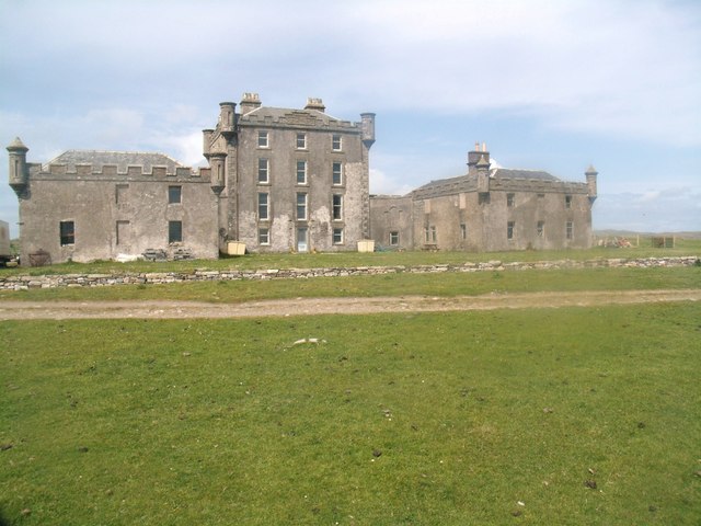
Dùn an Achaidh
Dùn an Achaidh, sometimes Anglicised as Dun Acha, is a dun located near the village of Acha on the Inner Hebridean island of Coll. It is considered the...

Acha, Coll
Acha (Scottish Gaelic: An t-Achadh, tranlsating to "The Field") is a small hamlet on the Scottish island of Coll. == References == == See also == Dùn an...

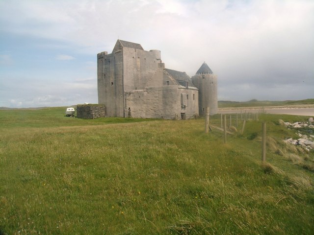
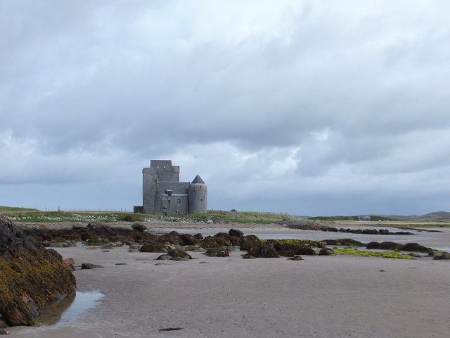
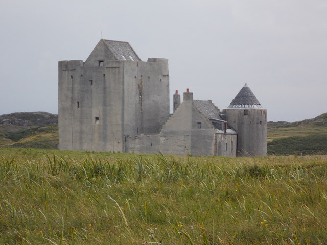
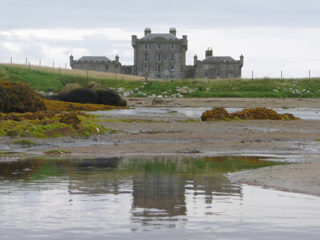
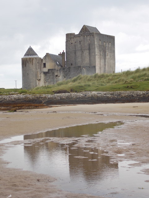
Breachacha Castle
Breachacha Castle (also spelled Breacachadh) is either of two structures on the shore of Loch Breachacha, on the Inner Hebridean island of Coll, Scotland...

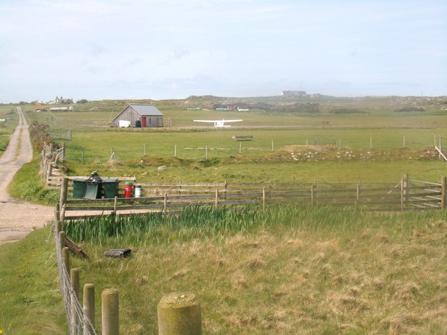
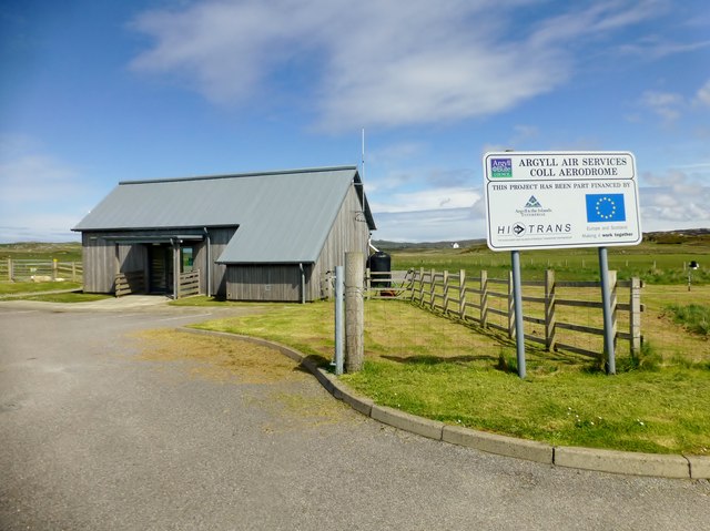
Coll Airport
Coll Island Airport (IATA: COL, ICAO: EGEL) (Scottish Gaelic: Port-adhair Cholla) is located 5 NM (9.3 km; 5.8 mi) west southwest of Arinagour on the island...
Nearby Amenities
Located within 500m of 56.587616,-6.5981759Have you been to Cnoc an Tobair?
Leave your review of Cnoc an Tobair below (or comments, questions and feedback).