Cnoc Mòr

Hill, Mountain in Argyllshire

Scotland

Cnoc Mòr

Isle of Coll airport
Isle of Coll airport Credit: Euan Nelson

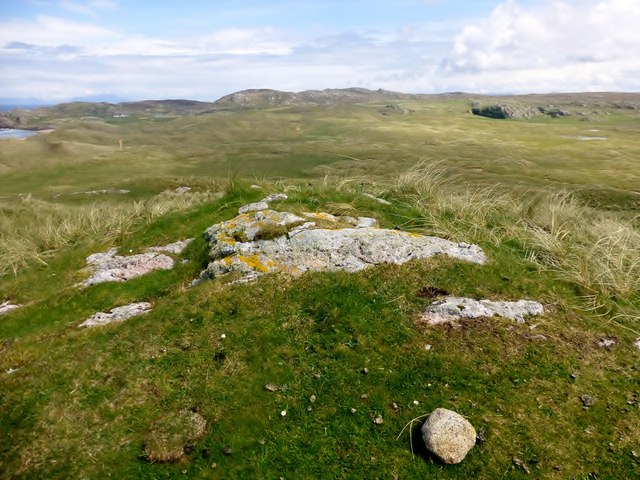
Cnoc Mòr is a prominent hill located in Argyllshire, Scotland. It stands at an impressive elevation of 310 meters (1017 feet) above sea level, making it a notable landmark in the region. Situated in a picturesque countryside, Cnoc Mòr offers stunning panoramic views of the surrounding landscape.

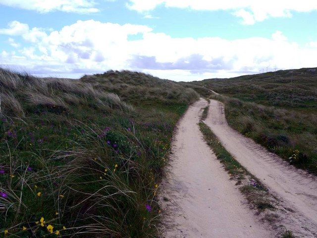
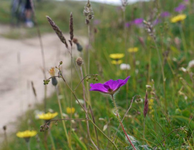
This hill is characterized by its distinctive shape and composition. Its summit is relatively flat, with a gently sloping incline leading up to it. The terrain is primarily covered in heather and grass, providing a rich green carpet that changes colors with the seasons. Walking trails have been established on Cnoc Mòr, allowing visitors to explore its natural beauty and enjoy invigorating hikes.

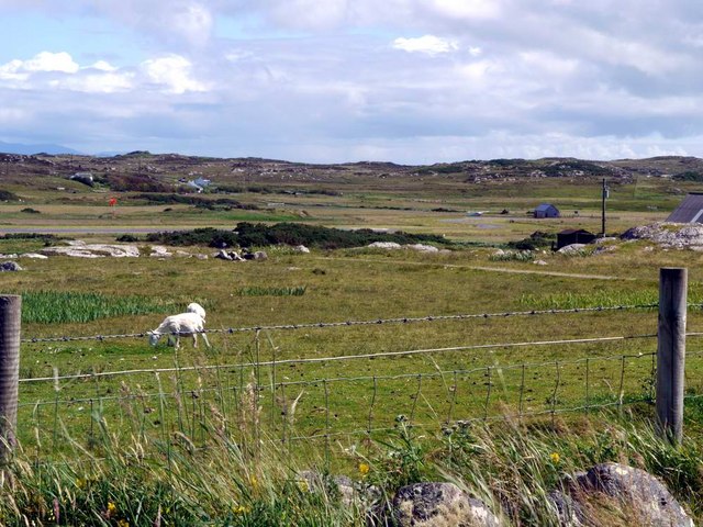
Cnoc Mòr is a popular destination for outdoor enthusiasts and nature lovers. Its strategic location provides breathtaking vistas of the nearby lochs, glens, and rolling hills. On a clear day, one can see as far as the distant mountains of the Scottish Highlands.

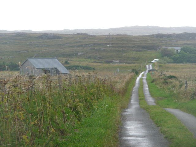
The hill is easily accessible by foot or by car, with a car park available at the base. It is a relatively moderate climb, suitable for all levels of fitness. Cnoc Mòr offers a tranquil escape from the hustle and bustle of everyday life, providing a peaceful retreat in the heart of Argyllshire.

Overall, Cnoc Mòr is a captivating hill that showcases the natural beauty of Argyllshire. Its imposing presence, scenic views, and accessibility make it a must-visit destination for those seeking to immerse themselves in the breathtaking Scottish countryside.

If you have any feedback on the listing, please let us know in the comments section below.
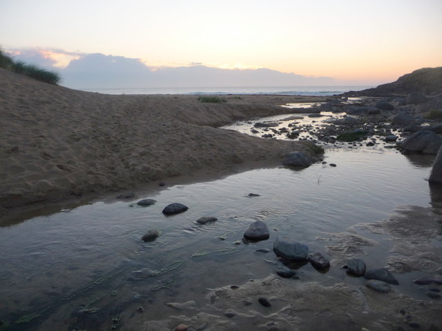
Cnoc Mòr Images

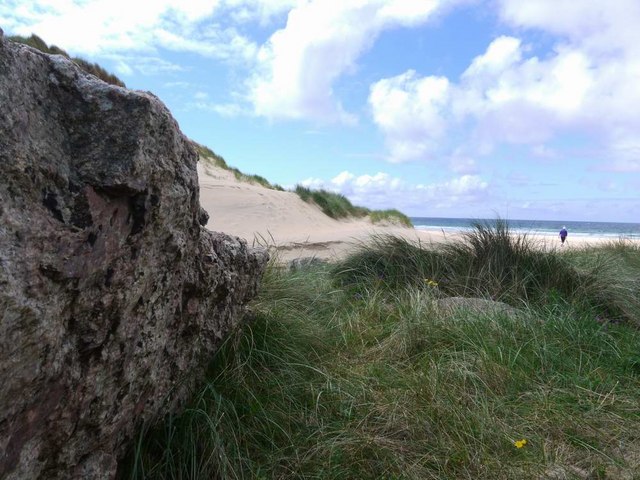
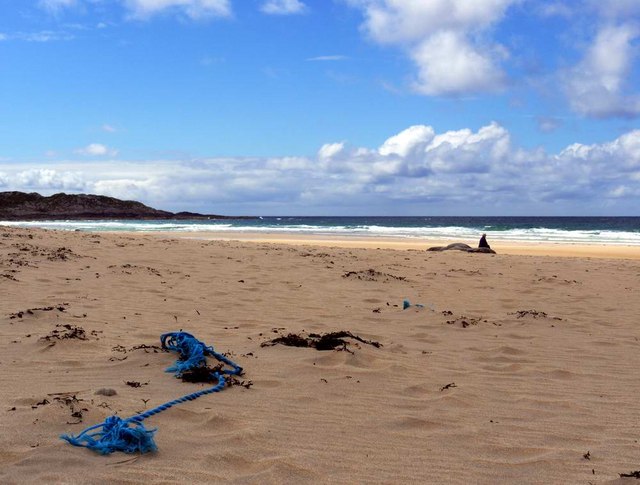
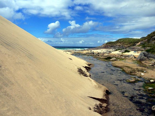
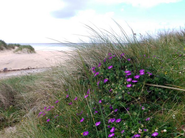
Images are sourced within 2km of 56.615558/-6.6206339 or Grid Reference NM1656. Thanks to Geograph Open Source API. All images are credited.

Isle of Coll airport
Isle of Coll airport A photograph of the airstrip serving Coll.
Isle of Coll airport
A photograph of the airstrip serving Coll.
Traigh Hogh
Traigh Hogh
Hogh Bay
Hogh Bay
Traigh Hogh In the distance a herd of cows can be seen on the beach.
Traigh Hogh
In the distance a herd of cows can be seen on the beach.
The approach to Hogh Bay Yet another of Coll's glorious beaches.
The approach to Hogh Bay
Yet another of Coll's glorious beaches.
The glorious beach at Traigh Hogh Sadly, the flotsam of modern plastic-ridden life is always with us.
The glorious beach at Traigh Hogh
Sadly, the flotsam of modern plastic-ridden life is always with us.
Burn and dune at Traigh Hogh Set on Coll's west coast, Traigh Hogh (Hogh Shore/Beach) is just one of the many beautiful, deserted beaches on this island.
Burn and dune at Traigh Hogh
Set on Coll's west coast, Traigh Hogh (Hogh Shore/Beach) is just one of the many beautiful, deserted beaches on this island.
Bloody cranesbill at Traigh Hogh This beautiful relative of the geranium family blooms widely on the Coll machair in June - whole banks are stained purple with the flowers.
Bloody cranesbill at Traigh Hogh
This beautiful relative of the geranium family blooms widely on the Coll machair in June - whole banks are stained purple with the flowers.
The track from Ballyhaugh to Totronald The purple blossoms of bloody cranesbill in banks by the track.
The track from Ballyhaugh to Totronald
The purple blossoms of bloody cranesbill in banks by the track.
Flowers of the Coll machair The purple of bloody cranesbill to the fore.
Flowers of the Coll machair
The purple of bloody cranesbill to the fore.
The runway at Coll Aerodrome The terminal building can be seen to the right, with a small private plane parked nearby.
The runway at Coll Aerodrome
The terminal building can be seen to the right, with a small private plane parked nearby.
Parking, Coll Aerodrome It may not be an international hub, but Coll has its own airport.
Parking, Coll Aerodrome
It may not be an international hub, but Coll has its own airport.
Argyll Air Services Coll Aerodrome Argyll and Bute Council operates Oban Airport, Coll, Colonsay and Glenforsa Aerodromes.
Argyll Air Services Coll Aerodrome
Argyll and Bute Council operates Oban Airport, Coll, Colonsay and Glenforsa Aerodromes.
Cnoc Mor A short walk on short sheep pasture to a lovely summit view with Iain Brown and Martin Richardson.
Name: Cnoc Mor
Hill number: 10504
Height: 57m / 187ft
Parent (Ma/M): none
Area: 17F: Coll and Tiree
Class: 0
Grid ref: NM 16633 56618
Summit feature: grassy outcrop
Drop: 44m
Col: 13m  NM170567
Cnoc Mor
A short walk on short sheep pasture to a lovely summit view with Iain Brown and Martin Richardson. Name: Cnoc Mor Hill number: 10504 Height: 57m / 187ft Parent (Ma/M): none Area: 17F: Coll and Tiree Class: 0 Grid ref: NM 16633 56618 Summit feature: grassy outcrop Drop: 44m Col: 13m NM170567
Isle of Coll: the B8070 passes the airfield Typical of the few roads on Coll, the B8070 is a single-track road with passing places and, as here, they often have grass down the middle. The airfield's terminal building is on the left.
Isle of Coll: the B8070 passes the airfield
Typical of the few roads on Coll, the B8070 is a single-track road with passing places and, as here, they often have grass down the middle. The airfield's terminal building is on the left.
Isle of Coll: postbox № PA78 113 This postbox serves the southwestern part of the island and may appear to be out of use at first glance, as it is missing its collection plate and appears to have a blocked slot.

It is in use, however; the blockage is an appropriately shaped bag of straw wedged into the slot to keep out undesirables such as snails and rain. It can be removed easily to post a letter and equally easily replaced.

Although there is no collection plate present, it probably has the same collection times as the other two boxes on the island: early morning on Mondays, Wednesdays, Fridays and Saturdays - the ferry timetable on Tuesdays and Thursdays presumably do not permit collections that will go anywhere that day.
Isle of Coll: postbox № PA78 113
This postbox serves the southwestern part of the island and may appear to be out of use at first glance, as it is missing its collection plate and appears to have a blocked slot. It is in use, however; the blockage is an appropriately shaped bag of straw wedged into the slot to keep out undesirables such as snails and rain. It can be removed easily to post a letter and equally easily replaced. Although there is no collection plate present, it probably has the same collection times as the other two boxes on the island: early morning on Mondays, Wednesdays, Fridays and Saturdays - the ferry timetable on Tuesdays and Thursdays presumably do not permit collections that will go anywhere that day.
Isle of Coll: stepping stones to Hogh Bay The wonderful beach is accessed by crossing an unnamed stream, this being probably the easiest crossing place.
Isle of Coll: stepping stones to Hogh Bay
The wonderful beach is accessed by crossing an unnamed stream, this being probably the easiest crossing place.
Show me another place!

Cnoc Mòr is located at Grid Ref: NM1656 (Lat: 56.615558, Lng: -6.6206339)

Unitary Authority: Argyll and Bute

Police Authority: Argyll and West Dunbartonshire

What 3 Words

///surprises.euphoric.cries. Near Arinagour, Argyll & Bute

Related Wikis

Totamore dun

Totamore Dun is a dun located at grid reference NM17625713; near the settlement of Totamore, on the Inner Hebridean island of Coll. It occupies the summit...

Dùn Beic

Dùn Beic is a dun located on the Inner Hebridean island of Coll. It is located at grid reference NM15495644 and is thought to date to between 1000 BCE...
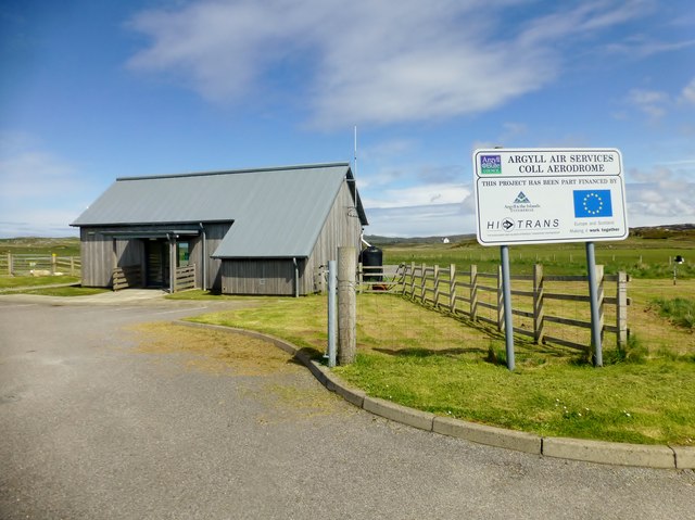
Coll Airport

Coll Island Airport (IATA: COL, ICAO: EGEL) (Scottish Gaelic: Port-adhair Cholla) is located 5 NM (9.3 km; 5.8 mi) west southwest of Arinagour on the island...

An Caisteal (Coll)

An Caisteal (English: The Castle) is a hill fort located on the island of Coll. This island is one of the islands which make up the Inner Hebrides located...

Nearby Amenities

Located within 500m of 56.615558,-6.6206339
Power: pole
Lat/Long: 56.611447/-6.6208857
Power: pole
Lat/Long: 56.6120935/-6.6203063
Power: pole
Lat/Long: 56.6127105/-6.6197458
Power: pole
Lat/Long: 56.6134322/-6.6190832
Power: pole
Lat/Long: 56.6141186/-6.6184529
Power: pole
Lat/Long: 56.6146012/-6.6181686
Power: pole
Lat/Long: 56.6150115/-6.6179433
Power: pole
Lat/Long: 56.6156565/-6.6175732
Power: pole
Lat/Long: 56.6164003/-6.6171494
Power: pole
Lat/Long: 56.6171604/-6.6167095
Power: pole
Lat/Long: 56.617947/-6.6162589
Power: pole
Lat/Long: 56.6187188/-6.6158217
Totronald
Name Gd: Tobhta Raonaill
Place: isolated_dwelling
Lat/Long: 56.6118917/-6.617927
Power: pole
Lat/Long: 56.6114961/-6.6182147
Power: pole
Lat/Long: 56.6117506/-6.6176762
Power: pole
Lat/Long: 56.6119039/-6.6168442
The data included in this document is from www.openstreetmap.org. The data is made available under ODbL.

Have you been to Cnoc Mòr?

Leave your review of Cnoc Mòr below (or comments, questions and feedback).