Cnocan Loisgte

Coastal Feature, Headland, Point in Argyllshire

Scotland

Cnocan Loisgte

Traigh Hogh
Traigh Hogh Credit: Euan Nelson

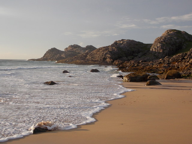
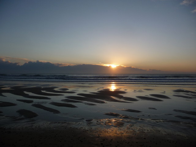
Cnocan Loisgte is a prominent coastal feature located in Argyllshire, Scotland. It is a headland that extends into the Atlantic Ocean, forming a point on the coastline. The name "Cnocan Loisgte" translates to "burnt hill" in English, which may refer to its appearance or historical significance.

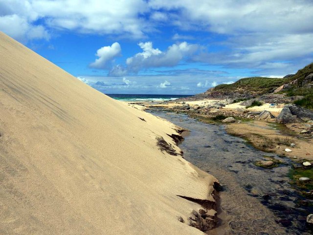
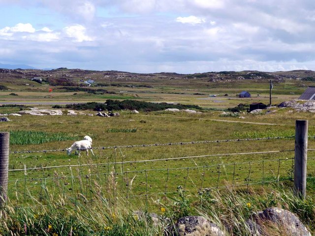
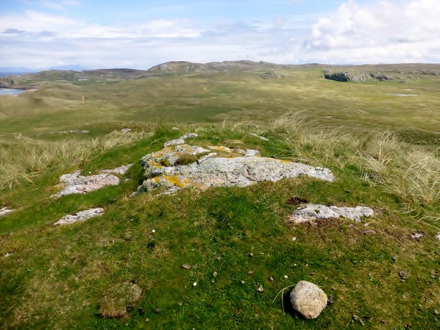
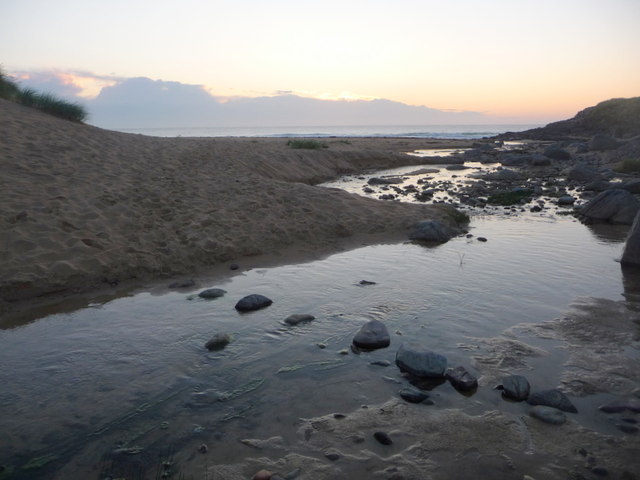
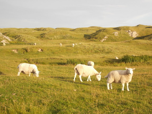
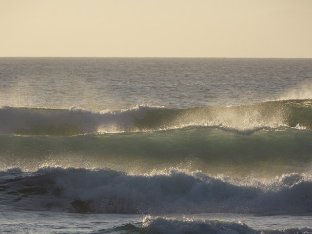
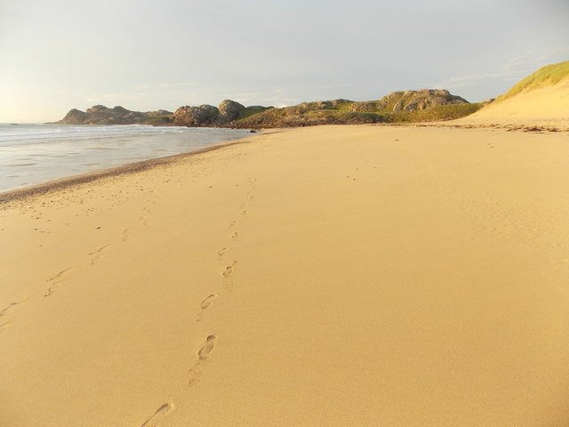
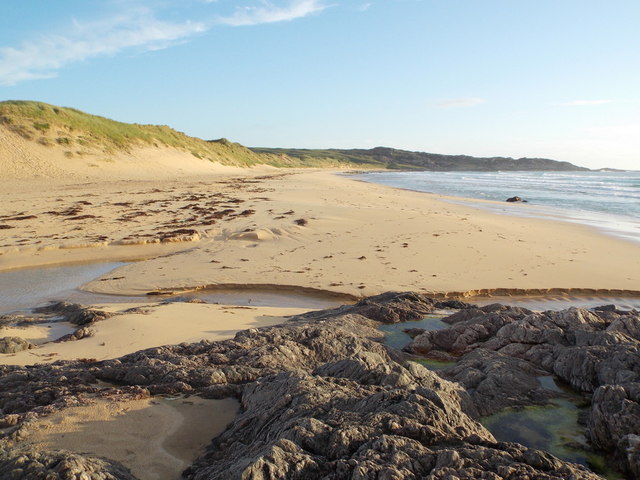
The headland is characterized by its rugged and rocky terrain, with cliffs that rise steeply from the sea. These cliffs provide stunning panoramic views of the surrounding area, including the vast expanse of the ocean and the picturesque landscape of Argyllshire. The point also offers a vantage point for observing local wildlife, such as seabirds and marine mammals that inhabit the area.

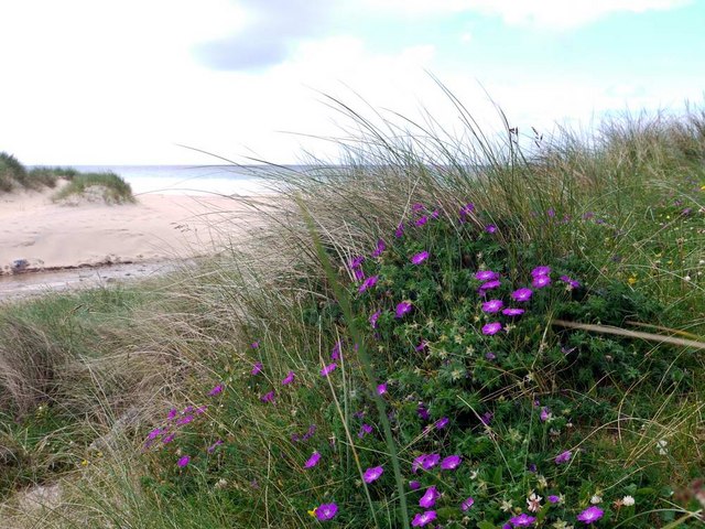
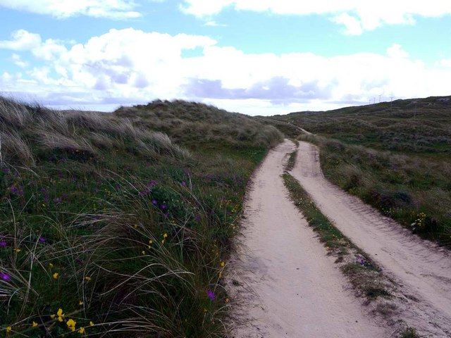
Cnocan Loisgte is a popular destination for outdoor enthusiasts and nature lovers. It offers opportunities for hiking and walking along its coastal paths, allowing visitors to explore the diverse flora and fauna that thrive in this coastal ecosystem. The headland is also known for its rich marine life, with opportunities for fishing and boat trips available in the nearby waters.

The area surrounding Cnocan Loisgte is steeped in history and folklore. It is believed to have been inhabited by ancient communities, evidenced by the presence of archaeological sites and ruins nearby. These historical landmarks add to the cultural significance of the headland, attracting history enthusiasts and those interested in Scotland's past.

In summary, Cnocan Loisgte is a captivating headland and point located in Argyllshire, Scotland. Its rugged beauty, diverse wildlife, and historical significance make it a captivating destination for visitors from around the world.

If you have any feedback on the listing, please let us know in the comments section below.

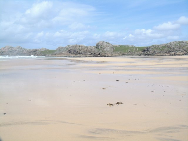
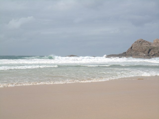
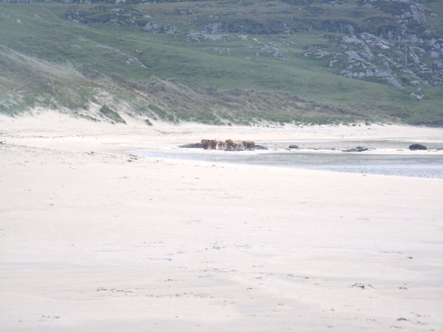
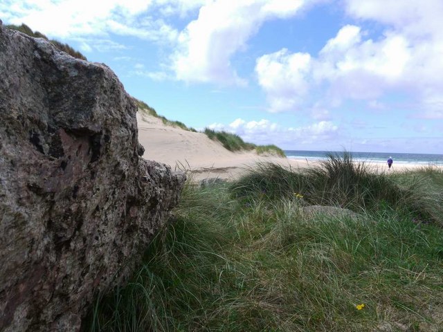
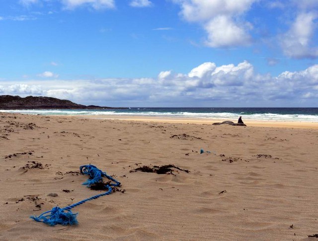
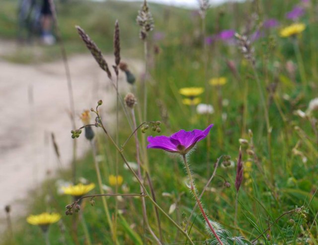
Cnocan Loisgte Images

Images are sourced within 2km of 56.617154/-6.6263274 or Grid Reference NM1656. Thanks to Geograph Open Source API. All images are credited.

Traigh Hogh
Traigh Hogh
Hogh Bay
Hogh Bay
Traigh Hogh In the distance a herd of cows can be seen on the beach.
Traigh Hogh
In the distance a herd of cows can be seen on the beach.
The approach to Hogh Bay Yet another of Coll's glorious beaches.
The approach to Hogh Bay
Yet another of Coll's glorious beaches.
The glorious beach at Traigh Hogh Sadly, the flotsam of modern plastic-ridden life is always with us.
The glorious beach at Traigh Hogh
Sadly, the flotsam of modern plastic-ridden life is always with us.
Burn and dune at Traigh Hogh Set on Coll's west coast, Traigh Hogh (Hogh Shore/Beach) is just one of the many beautiful, deserted beaches on this island.
Burn and dune at Traigh Hogh
Set on Coll's west coast, Traigh Hogh (Hogh Shore/Beach) is just one of the many beautiful, deserted beaches on this island.
Bloody cranesbill at Traigh Hogh This beautiful relative of the geranium family blooms widely on the Coll machair in June - whole banks are stained purple with the flowers.
Bloody cranesbill at Traigh Hogh
This beautiful relative of the geranium family blooms widely on the Coll machair in June - whole banks are stained purple with the flowers.
The track from Ballyhaugh to Totronald The purple blossoms of bloody cranesbill in banks by the track.
The track from Ballyhaugh to Totronald
The purple blossoms of bloody cranesbill in banks by the track.
Flowers of the Coll machair The purple of bloody cranesbill to the fore.
Flowers of the Coll machair
The purple of bloody cranesbill to the fore.
The runway at Coll Aerodrome The terminal building can be seen to the right, with a small private plane parked nearby.
The runway at Coll Aerodrome
The terminal building can be seen to the right, with a small private plane parked nearby.
Cnoc Mor A short walk on short sheep pasture to a lovely summit view with Iain Brown and Martin Richardson.
Name: Cnoc Mor
Hill number: 10504
Height: 57m / 187ft
Parent (Ma/M): none
Area: 17F: Coll and Tiree
Class: 0
Grid ref: NM 16633 56618
Summit feature: grassy outcrop
Drop: 44m
Col: 13m  NM170567
Cnoc Mor
A short walk on short sheep pasture to a lovely summit view with Iain Brown and Martin Richardson. Name: Cnoc Mor Hill number: 10504 Height: 57m / 187ft Parent (Ma/M): none Area: 17F: Coll and Tiree Class: 0 Grid ref: NM 16633 56618 Summit feature: grassy outcrop Drop: 44m Col: 13m NM170567
Isle of Coll: stepping stones to Hogh Bay The wonderful beach is accessed by crossing an unnamed stream, this being probably the easiest crossing place.
Isle of Coll: stepping stones to Hogh Bay
The wonderful beach is accessed by crossing an unnamed stream, this being probably the easiest crossing place.
Isle of Coll: sheep and dunes near Hogh Bay Sheep and dunes are typical features of the Isle of Coll, although this patch of dunes is a bit more separated from the coast than the majority, which back the sandy beaches of the island.
Isle of Coll: sheep and dunes near Hogh Bay
Sheep and dunes are typical features of the Isle of Coll, although this patch of dunes is a bit more separated from the coast than the majority, which back the sandy beaches of the island.
Isle of Coll: waves at Hogh Bay Big waves come in on Hogh Bay beach, but deceptively far off - the beach itself includes a wide flattish section which was barely underwater at this evening's low tide.
Isle of Coll: waves at Hogh Bay
Big waves come in on Hogh Bay beach, but deceptively far off - the beach itself includes a wide flattish section which was barely underwater at this evening's low tide.
Isle of Coll: Tràigh Hogh Looking along the northeast part of this wonderful sandy beach on Hogh Bay, on a splendidly sunny evening.
Isle of Coll: Tràigh Hogh
Looking along the northeast part of this wonderful sandy beach on Hogh Bay, on a splendidly sunny evening.
Isle of Coll: Hogh Bay from the northeast Looking along the beach from the rocks at the northeast end of the bay, across the foreground stream which flows into the sea here.
Isle of Coll: Hogh Bay from the northeast
Looking along the beach from the rocks at the northeast end of the bay, across the foreground stream which flows into the sea here.
Isle of Coll: rocks to the north of Hogh Bay Looking along the shoreline as a gentle wave breaks on the beach.
Isle of Coll: rocks to the north of Hogh Bay
Looking along the shoreline as a gentle wave breaks on the beach.
Isle of Coll: sunset over Hogh Bay One can appreciate from here that the beach goes out a fair distance on a very flat basis, forming sandy islets at this stage of the tide.
Isle of Coll: sunset over Hogh Bay
One can appreciate from here that the beach goes out a fair distance on a very flat basis, forming sandy islets at this stage of the tide.
Show me another place!

Cnocan Loisgte is located at Grid Ref: NM1656 (Lat: 56.617154, Lng: -6.6263274)

Unitary Authority: Argyll and Bute

Police Authority: Argyll and West Dunbartonshire

What 3 Words

///screening.retire.surfaces. Near Arinagour, Argyll & Bute

Related Wikis

Dùn Beic

Dùn Beic is a dun located on the Inner Hebridean island of Coll. It is located at grid reference NM15495644 and is thought to date to between 1000 BCE...

Totamore dun

Totamore Dun is a dun located at grid reference NM17625713; near the settlement of Totamore, on the Inner Hebridean island of Coll. It occupies the summit...

An Caisteal (Coll)

An Caisteal (English: The Castle) is a hill fort located on the island of Coll. This island is one of the islands which make up the Inner Hebrides located...

Coll Airport

Coll Island Airport (IATA: COL, ICAO: EGEL) (Scottish Gaelic: Port-adhair Cholla) is located 5 NM (9.3 km; 5.8 mi) west southwest of Arinagour on the island...

Nearby Amenities

Located within 500m of 56.617154,-6.6263274
Cnoc na Mòine
Natural: peak
Lat/Long: 56.6131799/-6.6278079
Sloc Sturrach
Natural: bay
Lat/Long: 56.6195666/-6.6332022
The data included in this document is from www.openstreetmap.org. The data is made available under ODbL.

Have you been to Cnocan Loisgte?

Leave your review of Cnocan Loisgte below (or comments, questions and feedback).