Cnoc na Mòine
Hill, Mountain in Argyllshire
Scotland
Cnoc na Mòine
Cnoc na Mòine, also known as Hill of the Moss, is a prominent peak located in Argyllshire, Scotland. Situated in the stunning landscape of the Scottish Highlands, this hill/mountain stands at an impressive height of 706 meters (2,316 feet). It is part of the larger mountain range known as the Grampian Mountains and is a popular destination for hikers and outdoor enthusiasts.
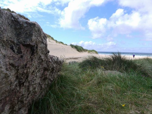
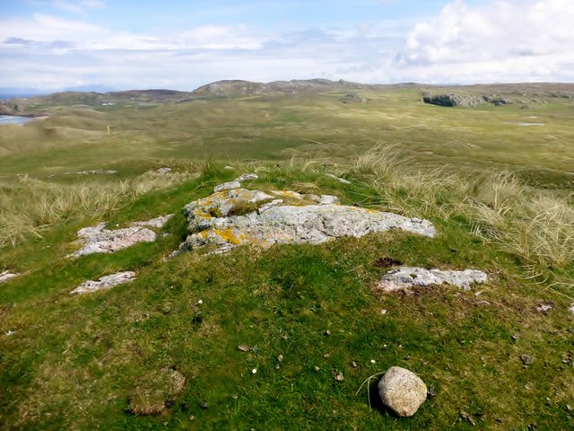
The ascent to the summit of Cnoc na Mòine offers breathtaking panoramic views of the surrounding area. On a clear day, visitors can admire the vast stretches of rolling green hills, deep valleys, and shimmering lochs dotting the landscape. The rugged terrain and challenging trails provide an exhilarating experience for those seeking adventure and a connection with nature.
The hill/mountain is predominantly composed of granite and boasts a variety of flora and fauna. The lower slopes are covered in heather, while mosses and lichens can be found higher up. The diverse wildlife includes mountain hares, red deer, and various bird species.
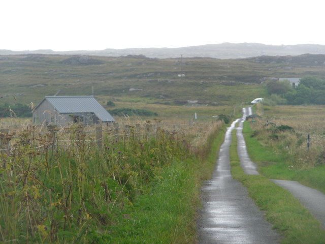
To reach Cnoc na Mòine, there are a few different routes available, each offering its own unique challenges and rewards. The most popular starting point is from the nearby village of Tyndrum, where hikers can follow well-marked paths and trails to the summit.
Cnoc na Mòine is not only a natural treasure but also holds historical significance. The area is rich in ancient ruins, including standing stones and burial cairns, providing a glimpse into the region's past.
Overall, Cnoc na Mòine is a must-visit destination for outdoor enthusiasts and nature lovers, offering stunning views, challenging hikes, and a connection to the natural and historical heritage of Argyllshire.
If you have any feedback on the listing, please let us know in the comments section below.
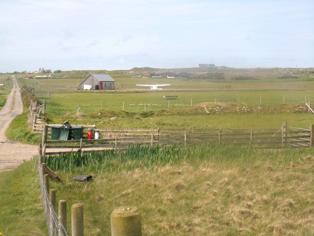
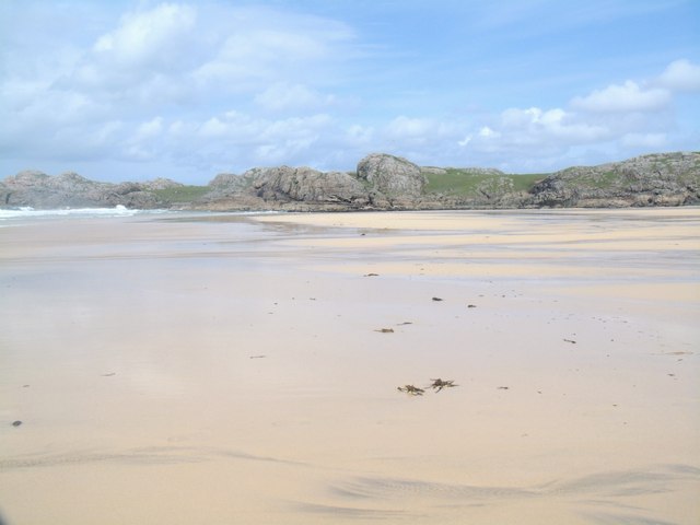
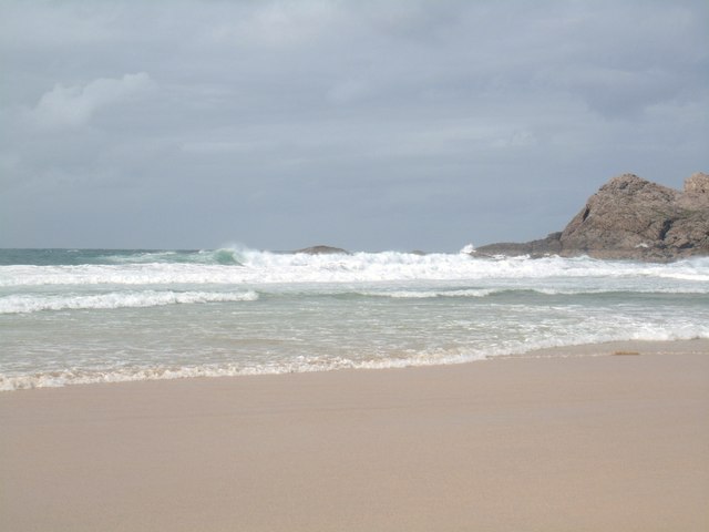
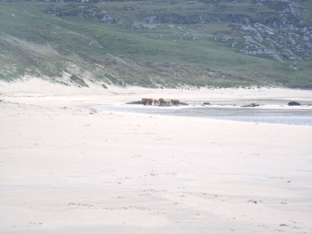
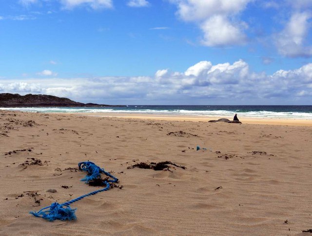
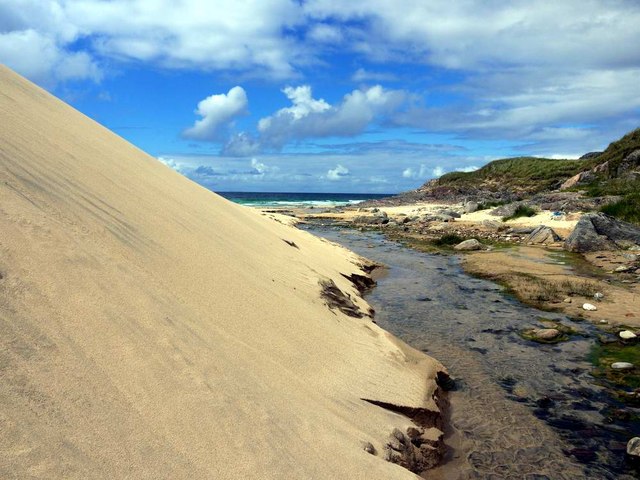
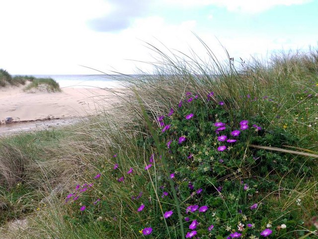
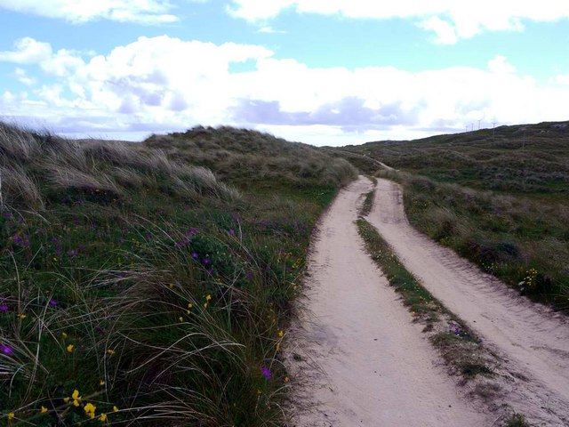
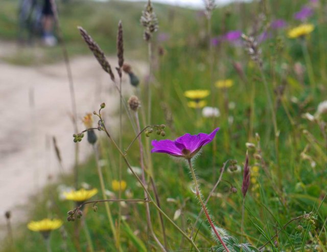
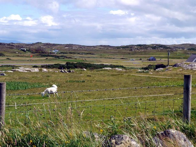
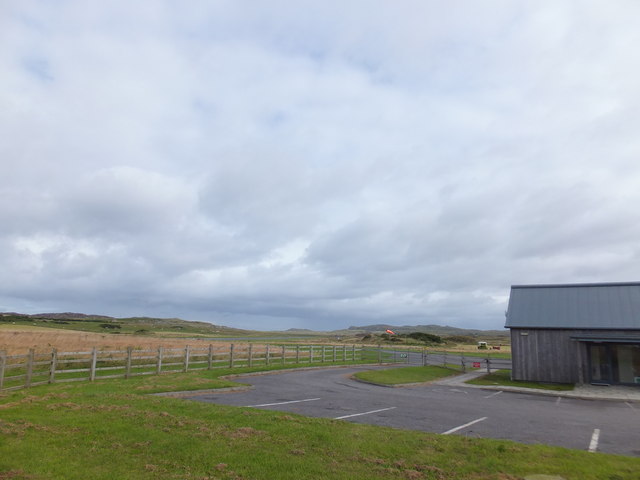
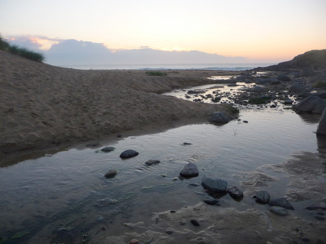
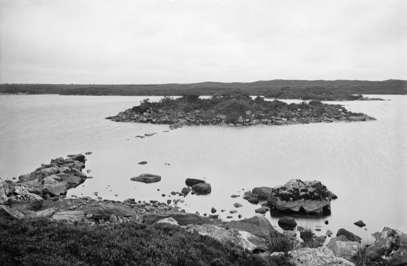
Cnoc na Mòine Images
Images are sourced within 2km of 56.612315/-6.6253592 or Grid Reference NM1656. Thanks to Geograph Open Source API. All images are credited.

Cnoc na Mòine is located at Grid Ref: NM1656 (Lat: 56.612315, Lng: -6.6253592)
Unitary Authority: Argyll and Bute
Police Authority: Argyll and West Dunbartonshire
What 3 Words
///alive.torso.flannel. Near Arinagour, Argyll & Bute
Nearby Locations
Related Wikis

Dùn Beic
Dùn Beic is a dun located on the Inner Hebridean island of Coll. It is located at grid reference NM15495644 and is thought to date to between 1000 BCE...

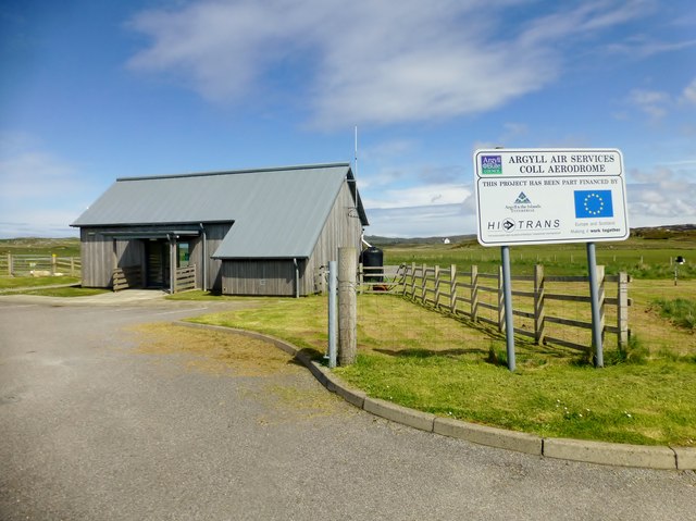
Coll Airport
Coll Island Airport (IATA: COL, ICAO: EGEL) (Scottish Gaelic: Port-adhair Cholla) is located 5 NM (9.3 km; 5.8 mi) west southwest of Arinagour on the island...

Totamore dun
Totamore Dun is a dun located at grid reference NM17625713; near the settlement of Totamore, on the Inner Hebridean island of Coll. It occupies the summit...

An Caisteal (Coll)
An Caisteal (English: The Castle) is a hill fort located on the island of Coll. This island is one of the islands which make up the Inner Hebrides located...

Breachacha Castle
Breachacha Castle (also spelled Breacachadh) is either of two structures on the shore of Loch Breachacha, on the Inner Hebridean island of Coll, Scotland...
Dùn Anlaimh
Dùn Anlaimh, also known as Dùn Amhlaidh, and Eilean nan Cinneachan, is a crannog (an artificial island), located within Loch nan Cinneachan on the Inner...

Dùn an Achaidh
Dùn an Achaidh, sometimes Anglicised as Dun Acha, is a dun located near the village of Acha on the Inner Hebridean island of Coll. It is considered the...

Acha, Coll
Acha (Gaelic: An t-Achadh, tranlsating to "The Field") is a small hamlet on the Scottish island of Coll. == References == == See also == Dùn an Achaidh...
Nearby Amenities
Located within 500m of 56.612315,-6.6253592Have you been to Cnoc na Mòine?
Leave your review of Cnoc na Mòine below (or comments, questions and feedback).