Cnoc Satran

Hill, Mountain in Inverness-shire

Scotland

Cnoc Satran

Glendale Water Mill An 18th century corn mill <span class="nowrap"><a title="https://canmore.org.uk/site/173200/skye-glendale-glendale-mill-and-kiln" rel="nofollow ugc noopener" href="https://canmore.org.uk/site/173200/skye-glendale-glendale-mill-and-kiln">Link</a><img style="margin-left:2px;" alt="External link" title="External link - shift click to open in new window" src="https://s1.geograph.org.uk/img/external.png" width="10" height="10"/></span>
Glendale Water Mill Credit: Sandy Gerrard

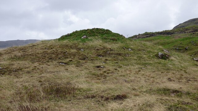
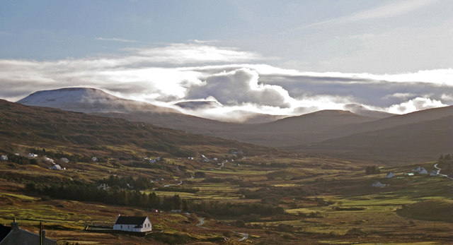
Cnoc Satran is a prominent hill located in Inverness-shire, Scotland. It is situated approximately 10 miles south of the town of Inverness, near the village of Farr. With an elevation of 263 meters (863 feet), it offers stunning panoramic views of the surrounding countryside.

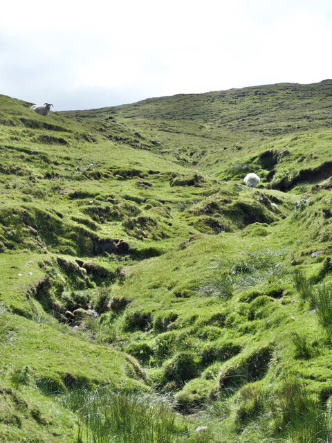
The hill is known for its distinctive shape, featuring a rounded summit that provides a relatively easy ascent for hikers and outdoor enthusiasts. The terrain is predominantly covered in heather, grass, and scattered rocky outcrops, which adds to the natural beauty of the area. The hill is also home to a variety of wildlife, including birds such as buzzards and ptarmigans, as well as deer and other small mammals.

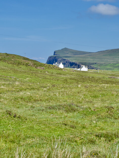
Cnoc Satran is a popular destination for outdoor activities, including hillwalking, hiking, and photography. Its accessibility and relatively gentle slopes make it suitable for people of different fitness levels, allowing for a pleasant and enjoyable experience. The hill offers breathtaking views of the surrounding landscape, including the picturesque Farr Bay, the Caledonian Canal, and the distant peaks of the Scottish Highlands.

Visitors to Cnoc Satran can easily access the hill via a well-defined path that starts from the village of Farr. The ascent takes approximately 1-2 hours, depending on the pace, and there are no significant technical challenges or obstacles along the way. The hill is a favorite spot for locals and visitors alike, who come to immerse themselves in the natural beauty and tranquility of the Scottish Highlands.

If you have any feedback on the listing, please let us know in the comments section below.
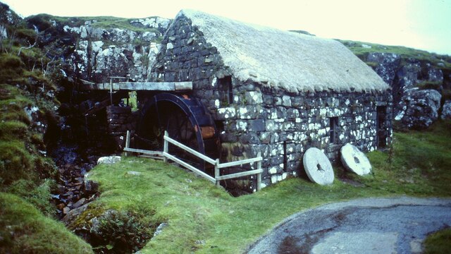
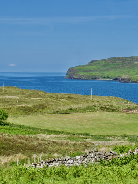
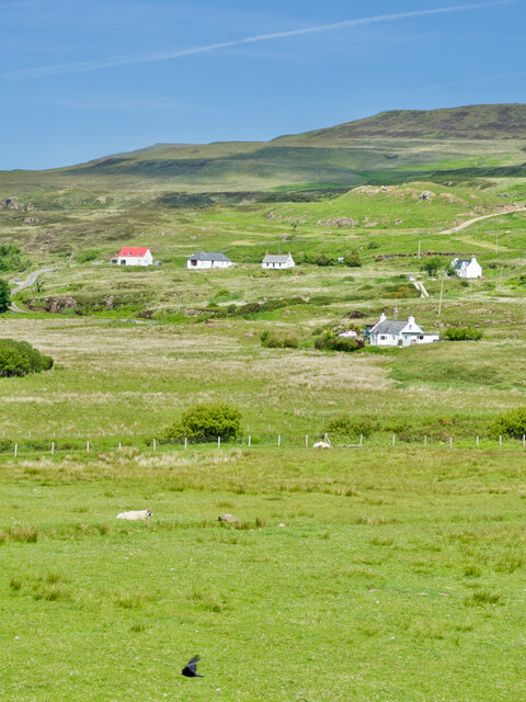
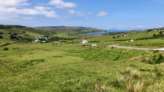
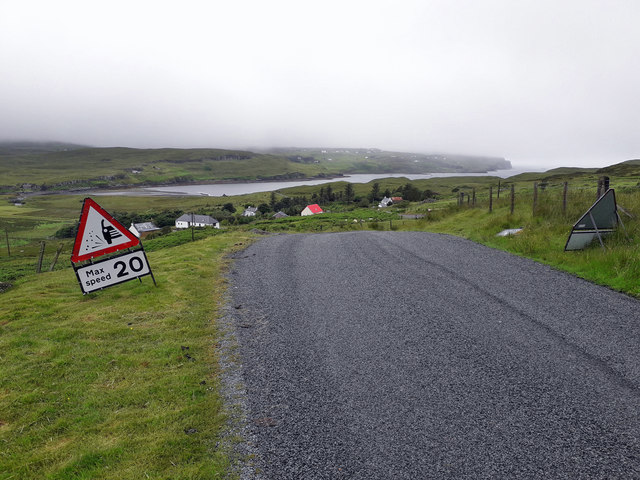
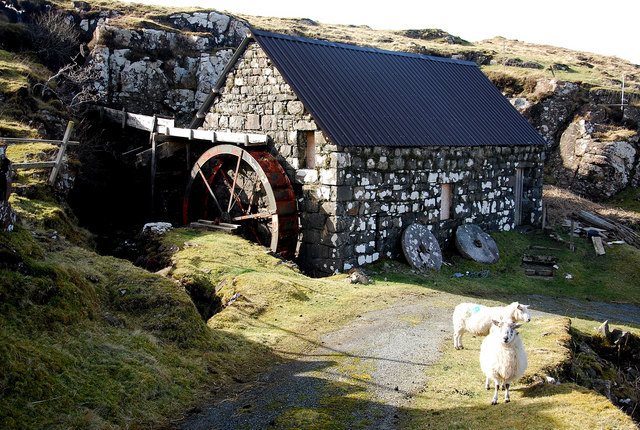
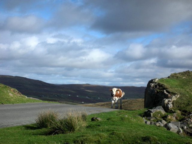
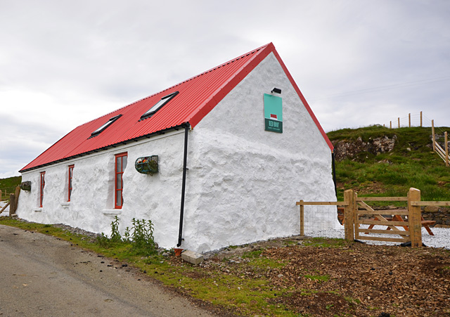
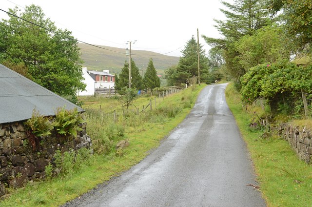
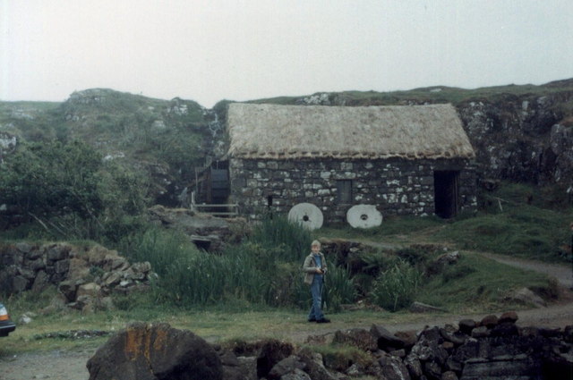
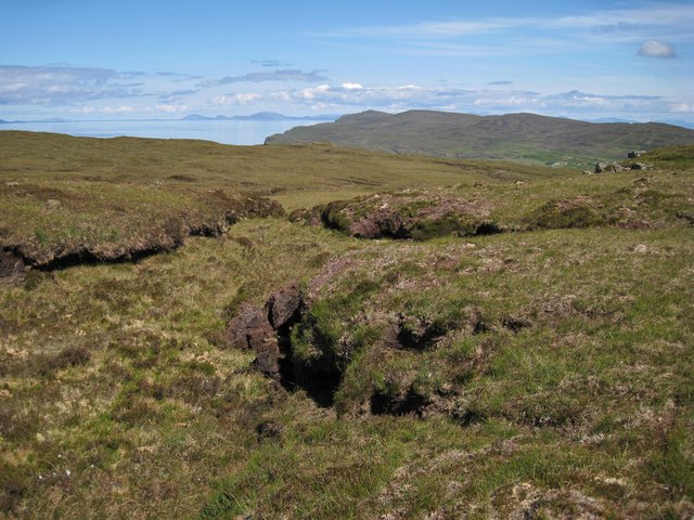
Cnoc Satran Images

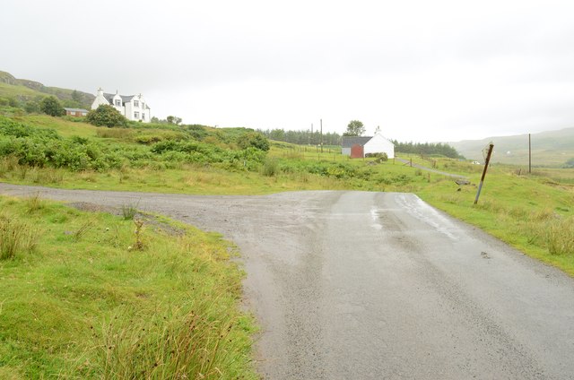
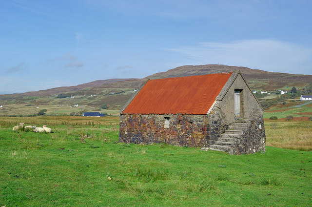
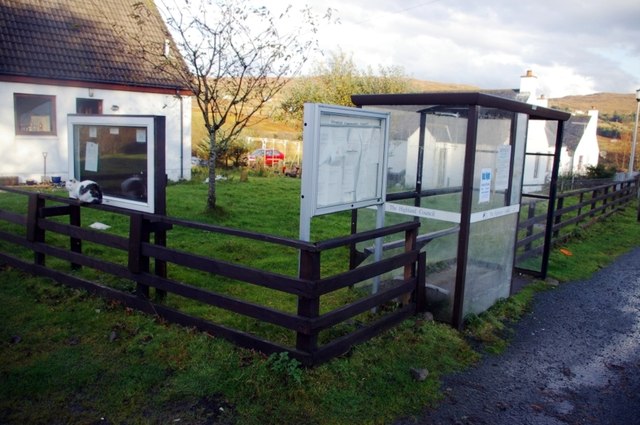
Images are sourced within 2km of 57.437892/-6.7240499 or Grid Reference NG1648. Thanks to Geograph Open Source API. All images are credited.

Glendale Water Mill An 18th century corn mill <span class="nowrap"><a title="https://canmore.org.uk/site/173200/skye-glendale-glendale-mill-and-kiln" rel="nofollow ugc noopener" href="https://canmore.org.uk/site/173200/skye-glendale-glendale-mill-and-kiln">Link</a><img style="margin-left:2px;" alt="External link" title="External link - shift click to open in new window" src="https://s1.geograph.org.uk/img/external.png" width="10" height="10"/></span>
Glendale Water Mill
An 18th century corn mill LinkExternal link
Prehistoric cairn at Glendale <span class="nowrap"><a title="https://canmore.org.uk/site/10580/skye-hamaramore" rel="nofollow ugc noopener" href="https://canmore.org.uk/site/10580/skye-hamaramore">Link</a><img style="margin-left:2px;" alt="External link" title="External link - shift click to open in new window" src="https://s1.geograph.org.uk/img/external.png" width="10" height="10"/></span>
Prehistoric cairn at Glendale
Ben Forsan's stream and contented grazing sheep
A sunny day in Mìolabhvaig—Rough pasture, white houses and coastal cliffs
Awe-inspiring—A mown field near Hamaramore in all its glory
A' Glas Pheighinn—A hillside harmony of white houses with a splash of red
Scenic serenity—Glendale township and Loch Pooltiel in the distance
Recently resurfaced road The condition of nearly all of the roads in Glendale had become very poor in the last year or so. The council have recently resurfaced some of the roads, and topped them with a generous coating of small stone chippings.
Recently resurfaced road
The condition of nearly all of the roads in Glendale had become very poor in the last year or so. The council have recently resurfaced some of the roads, and topped them with a generous coating of small stone chippings.
Glendale Water Mill This old feature situated where the Hamara River enters Loch Pooltiel is being maintained by the Glendale Estate and is worth a visit.  It is an attractive spot lying in an attractive corner of Skye called Duirinish.
Glendale Water Mill
This old feature situated where the Hamara River enters Loch Pooltiel is being maintained by the Glendale Estate and is worth a visit. It is an attractive spot lying in an attractive corner of Skye called Duirinish.
Cow Pass? A large herd of cattle are resident on the road to Neist point where they appear to have the right of way!
Cow Pass?
A large herd of cattle are resident on the road to Neist point where they appear to have the right of way!
Red Roof Cafe | Gallery A year and a half since Richard Dorrell's <a href="https://www.geograph.org.uk/photo/1571272">NG1848 : Challenging restoration</a>, the building has opened for business as an art gallery and cafe.
Red Roof Cafe | Gallery
A year and a half since Richard Dorrell's NG1848 : Challenging restoration, the building has opened for business as an art gallery and cafe.
Minor road at Glendale (1)
Minor road at Glendale (2)
Barn in Holmisdale The barn has changed little since it was photographed almost two years earlier by Richard Dorrell <a href="https://www.geograph.org.uk/photo/1571212">NG1849 : Two-storey barn</a>.  The main evidence of decay is the loss of the lower part of the skew to the right side of the corrugated roof.
Barn in Holmisdale
The barn has changed little since it was photographed almost two years earlier by Richard Dorrell NG1849 : Two-storey barn. The main evidence of decay is the loss of the lower part of the skew to the right side of the corrugated roof.
Glendale bus shelter and notice boards A burst of late October sunshine highlights the village communication facilities opposite the Post Office.
Glendale bus shelter and notice boards
A burst of late October sunshine highlights the village communication facilities opposite the Post Office.
Glendale, Isle of Skye Gloriously lit by low winter sunshine, with mist swirling round MacLeod's Tables in the background. The white building nearest the camera is the Free Presbyterian Church of Scotland, pictured here: <a href="https://www.geograph.org.uk/photo/952130">NG1849 : Free Presbyterian Church of Scotland, Glendale</a>. The township on the left is Fasach.
Glendale, Isle of Skye
Gloriously lit by low winter sunshine, with mist swirling round MacLeod's Tables in the background. The white building nearest the camera is the Free Presbyterian Church of Scotland, pictured here: NG1849 : Free Presbyterian Church of Scotland, Glendale. The township on the left is Fasach.
Glendale Water Mill
Glendale Water Mill
Summit plateau of Beinn nan Corrafidheag Being clad in a thick layer of peat, and exposed to the blasts of wind and rain from the south west, the flattish tops of most of the hills here are usually soggy and riven with often impassible bogs between the peat hags. Just now, all is dry, as there has been no worthwhile rain on Skye for a couple of months. This view is north, with Biod an Athair being the high point in the distance, and the Outer Hebridean Isle of Harris on the horizon.
Summit plateau of Beinn nan Corrafidheag
Being clad in a thick layer of peat, and exposed to the blasts of wind and rain from the south west, the flattish tops of most of the hills here are usually soggy and riven with often impassible bogs between the peat hags. Just now, all is dry, as there has been no worthwhile rain on Skye for a couple of months. This view is north, with Biod an Athair being the high point in the distance, and the Outer Hebridean Isle of Harris on the horizon.
Show me another place!

Cnoc Satran is located at Grid Ref: NG1648 (Lat: 57.437892, Lng: -6.7240499)

Unitary Authority: Highland

Police Authority: Highlands and Islands

What 3 Words

///spouting.mouths.leaflet. Near Glendale, Highland

Nearby Locations

Borrodale Cnoc Satran

Related Wikis

Borrodale

Borrodale (Scottish Gaelic: Borodail) is small hamlet on the Isle of Skye, in the Inner Hebrides of Scotland. Borrodale is part of Glendale and the Glendale...

Glendale, Skye

Glendale (Scottish Gaelic: Gleann Dail) is a community-owned estate on the north-western coastline of the Duirinish peninsula on the island of Skye and...

Milovaig

Milovaig (Scottish Gaelic: Mìolabhaig), comprises two small scattered, mixed crofting and residential townships, consisting of Lower Milovaig to the North...

Feriniquarrie

Feriniquarrie (Scottish Gaelic: Fearann MhicGuaire) is a remote scattered crofting township, situated close to Glendale, on the Duirinish peninsula, in...

Have you been to Cnoc Satran?

Leave your review of Cnoc Satran below (or comments, questions and feedback).