Bambridge Green
Downs, Moorland in Norfolk South Norfolk
England
Bambridge Green
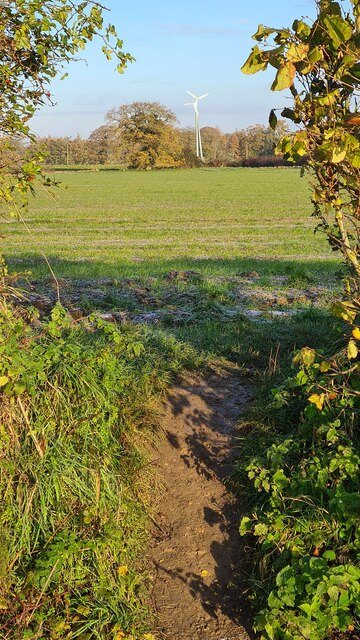
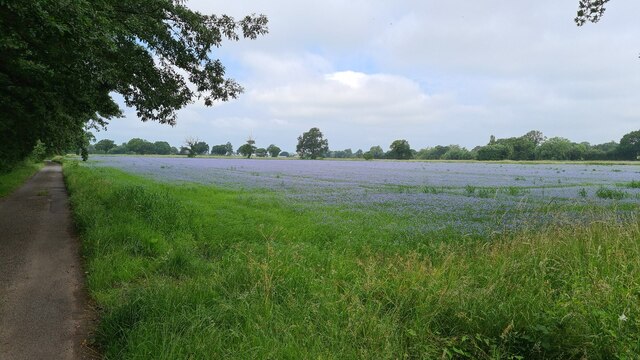
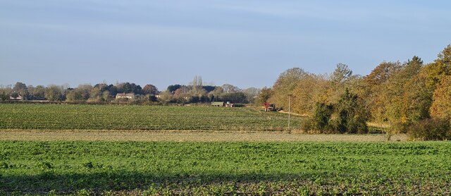
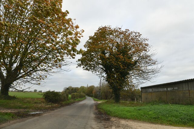
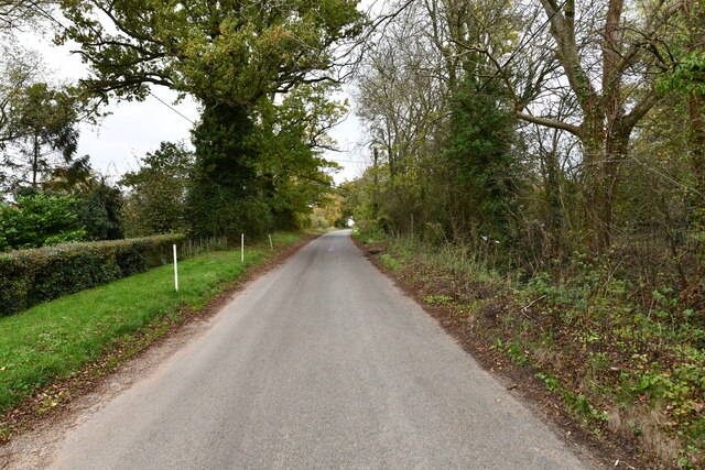
Bambridge Green, located in Norfolk, England, is a picturesque area known for its natural beauty and diverse landscapes. Situated between the Downs and Moorland regions, it offers a unique blend of both rolling hills and marshy lowlands.
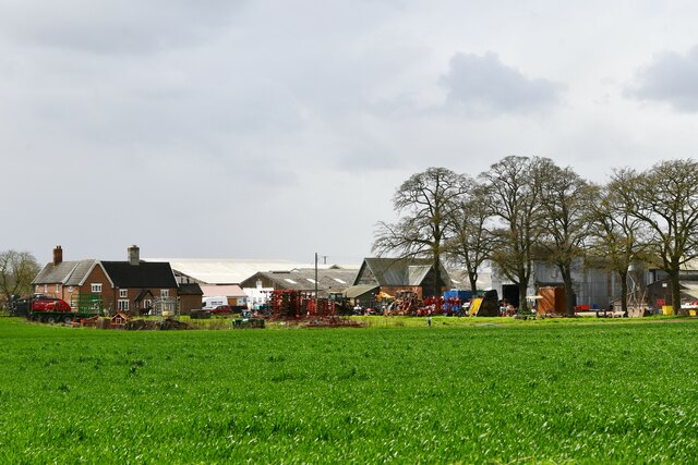
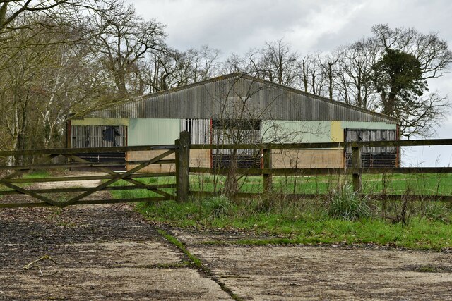
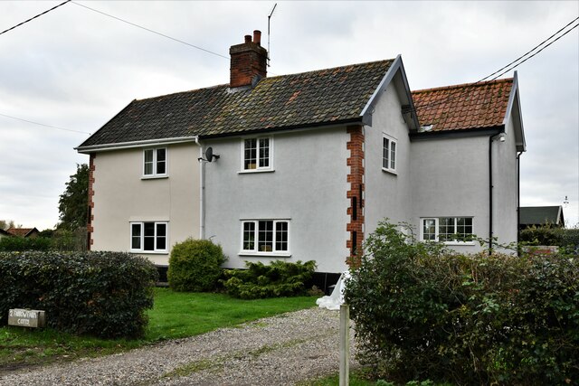
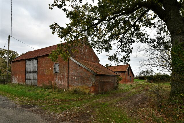
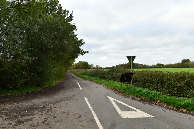
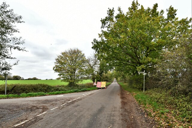
The area is characterized by its lush green fields, dotted with traditional Norfolk cottages and charming farmhouses. The Downs section of Bambridge Green is known for its gently sloping hills, providing breathtaking views of the surrounding countryside. These hills are often used for grazing livestock, with sheep and cattle frequently seen roaming the landscape.
On the other hand, the Moorland part of Bambridge Green offers a stark contrast to the Downs. Here, visitors can explore vast expanses of marshland, where a variety of wetland plants and wildlife thrive. The marshes are home to numerous species of birds, making it an ideal spot for birdwatching enthusiasts.
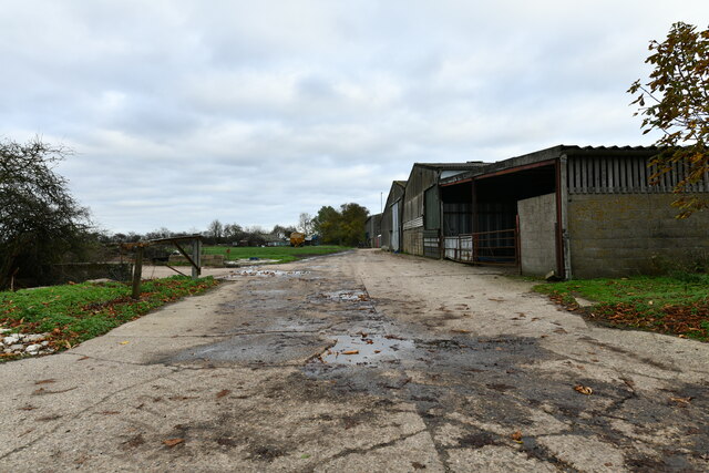
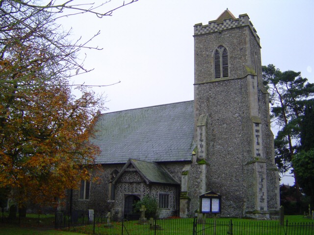
Aside from its natural beauty, Bambridge Green is also steeped in history. The area has a rich agricultural heritage, with evidence of traditional farming practices still visible today. Visitors can explore historic buildings and landmarks, such as the old village church, which dates back several centuries.
Bambridge Green, Norfolk, offers a tranquil and idyllic setting for nature lovers and those seeking a peaceful retreat. With its diverse landscapes, rich wildlife, and historical charm, it is a place where visitors can truly immerse themselves in the beauty of the English countryside.
If you have any feedback on the listing, please let us know in the comments section below.
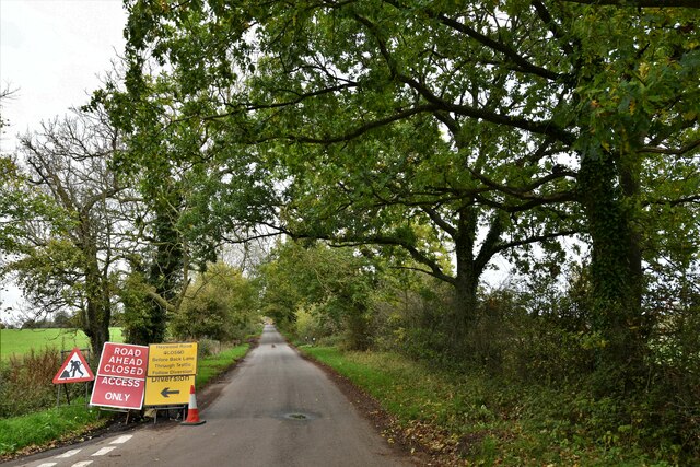
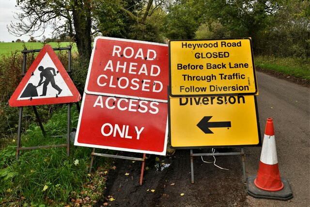
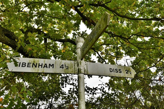
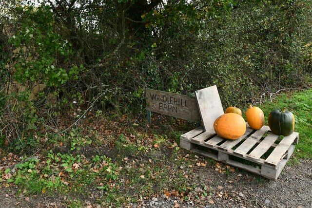
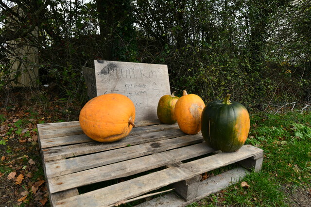
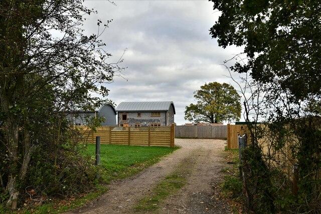
Bambridge Green Images
Images are sourced within 2km of 52.409993/1.0986623 or Grid Reference TM1083. Thanks to Geograph Open Source API. All images are credited.
Bambridge Green is located at Grid Ref: TM1083 (Lat: 52.409993, Lng: 1.0986623)
Administrative County: Norfolk
District: South Norfolk
Police Authority: Norfolk
What 3 Words
///incoming.shippers.connected. Near Diss, Norfolk
Nearby Locations
Related Wikis
Shelfanger
Shelfanger is a village situated about 3 miles from the town of Diss in Norfolk, England. There is a church and a village hall in the village. It covers...

Shelfanger Meadows
Shelfanger Meadows is a 10.3-hectare (25-acre) biological Site of Special Scientific Interest north of Diss in Norfolk.This site in the valley of a tributary...

Heywood, Norfolk
Heywood is a civil parish in the English county of Norfolk. It was formed in 2003 from a part of the parish of Diss. It covers an area of 9.56 km2 (3.69...

Winfarthing
Winfarthing is a village and civil parish in the English county of Norfolk. It is located 6 km north of the town of Diss, 20 km east of the town of Thetford...

Burston Strike School
The Burston Strike School was founded as a consequence of a school strike and became the centre of the longest running strike in British history, that...

RAF Fersfield
Royal Air Force Fersfield or more simply RAF Fersfield (originally known as RAF Winfarthing) is a former Royal Air Force station located 16 miles (26 km...
Diss Town F.C.
Diss Town Football Club is a football club based in Diss, Norfolk, England. Affiliated to the Norfolk County FA they are currently members of the Eastern...

Diss, Norfolk
Diss is a market town and electoral ward in South Norfolk, England, near the boundary with Suffolk, with a population of 7,572 in 2011. Diss railway station...
Nearby Amenities
Located within 500m of 52.409993,1.0986623Have you been to Bambridge Green?
Leave your review of Bambridge Green below (or comments, questions and feedback).