Stable Plantation
Wood, Forest in Norfolk South Norfolk
England
Stable Plantation
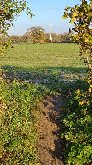
Stable Plantation, located in Norfolk, is a wood and forest area known for its stability and natural beauty. Spanning over acres of land, this plantation is home to a diverse range of trees, plants, and wildlife, making it an ideal destination for nature lovers and outdoor enthusiasts.
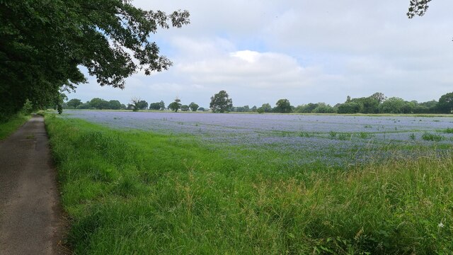
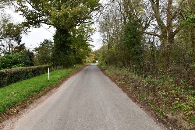
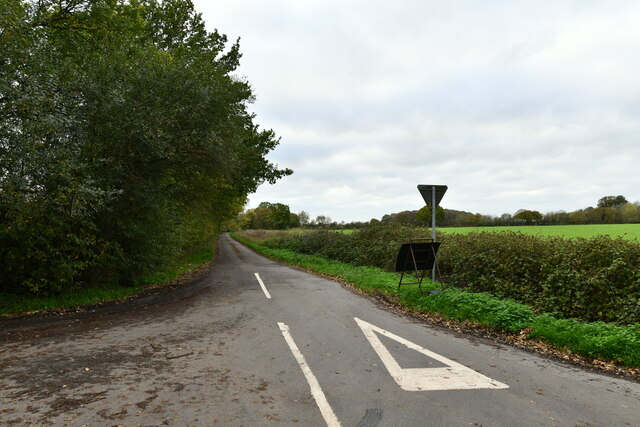
The woodland in Stable Plantation is characterized by its dense canopy cover, providing a cool and tranquil environment even during the hottest summer months. The dominant tree species found here include oak, beech, and pine, offering a picturesque landscape with their towering heights and vibrant foliage. The forest floor is adorned with an array of wildflowers, ferns, and mosses, adding to the visual appeal of the plantation.
Stable Plantation is a haven for various species of animals, making it a popular spot for birdwatching and wildlife observation. Bird species such as woodpeckers, owls, and thrushes can be spotted throughout the year, while larger mammals like deer, foxes, and badgers roam the forest. The plantation is also home to smaller creatures like squirrels, rabbits, and hedgehogs, adding to the biodiversity of the area.
Visitors to Stable Plantation can enjoy a range of outdoor activities, including hiking, cycling, and picnicking. The well-maintained trails and paths allow for easy exploration of the woodland, allowing visitors to immerse themselves in the serene atmosphere and appreciate the natural wonders that the plantation has to offer.
Overall, Stable Plantation in Norfolk is a captivating wood and forest area that provides a stable and harmonious habitat for numerous plant and animal species. Its picturesque scenery and tranquil ambiance make it a must-visit destination for nature enthusiasts and those seeking an escape from the hustle and bustle of city life.
If you have any feedback on the listing, please let us know in the comments section below.
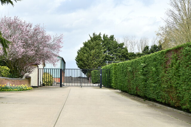
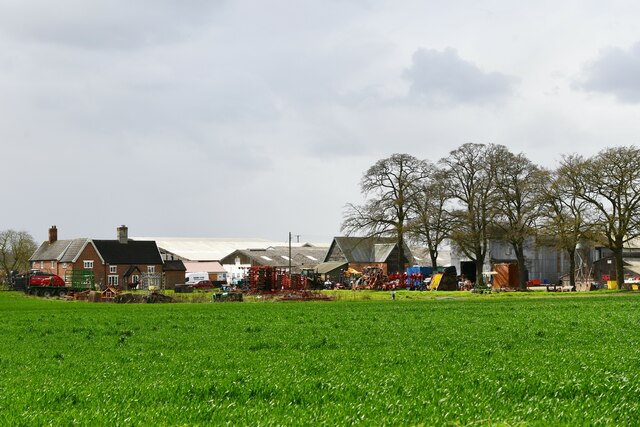
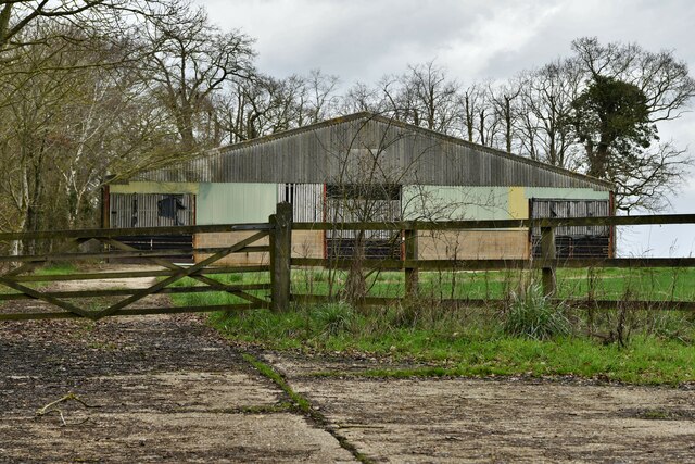
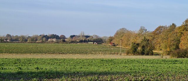
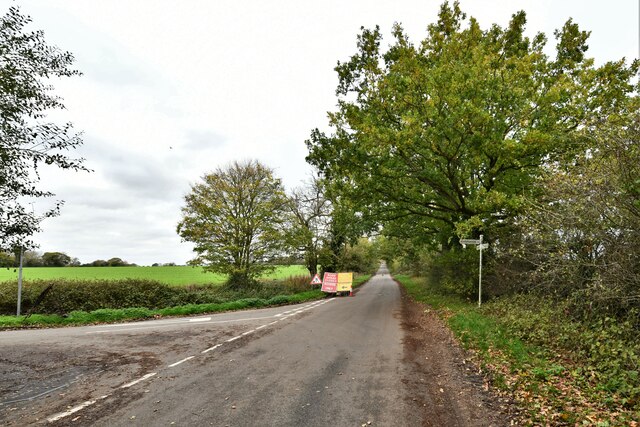
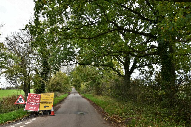
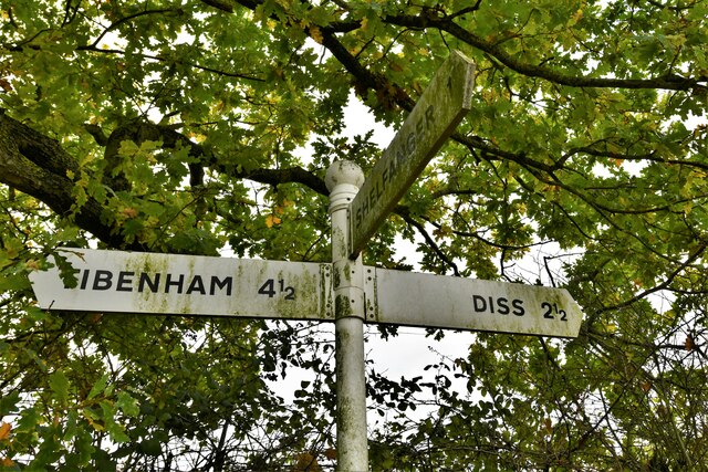
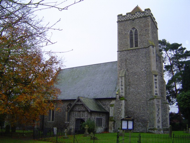
Stable Plantation Images
Images are sourced within 2km of 52.407256/1.0898236 or Grid Reference TM1083. Thanks to Geograph Open Source API. All images are credited.


Stable Plantation is located at Grid Ref: TM1083 (Lat: 52.407256, Lng: 1.0898236)
Administrative County: Norfolk
District: South Norfolk
Police Authority: Norfolk
What 3 Words
///tube.craziest.loudly. Near Diss, Norfolk
Nearby Locations
Related Wikis
Shelfanger
Shelfanger is a village situated about 3 miles from the town of Diss in Norfolk, England. There is a church and a village hall in the village. It covers...

Shelfanger Meadows
Shelfanger Meadows is a 10.3-hectare (25-acre) biological Site of Special Scientific Interest north of Diss in Norfolk.This site in the valley of a tributary...

Heywood, Norfolk
Heywood is a civil parish in the English county of Norfolk. It was formed in 2003 from a part of the parish of Diss. It covers an area of 9.56 km2 (3.69...

Winfarthing
Winfarthing is a village and civil parish in the English county of Norfolk. It is located 6 km north of the town of Diss, 20 km east of the town of Thetford...
Boyland Common
Boyland Common is a place in the English county of Norfolk. It lies on the border of Fersfield and Shelfanger parishes. It consists of a few scattered...

RAF Fersfield
Royal Air Force Fersfield or more simply RAF Fersfield (originally known as RAF Winfarthing) is a former Royal Air Force station located 16 miles (26 km...
Roydon, South Norfolk
Roydon is a small village, parish and electoral ward in the county of Norfolk, England, about a mile west of Diss. It covers an area of 5.54 km2 (2.14...
Diss Town F.C.
Diss Town Football Club is a football club based in Diss, Norfolk, England. Affiliated to the Norfolk County FA they are currently members of the Eastern...
Nearby Amenities
Located within 500m of 52.407256,1.0898236Have you been to Stable Plantation?
Leave your review of Stable Plantation below (or comments, questions and feedback).