Shelfanger

Settlement in Norfolk South Norfolk

England

Shelfanger

Flax field A beautiful field of flax / linseed alongside Darrow Wood Lane. The lane denotes a boundary between Roydon and Bressingham parish councils.
Flax field Credit: Ann Reynolds

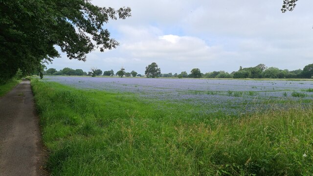
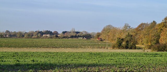
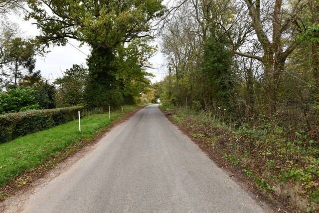
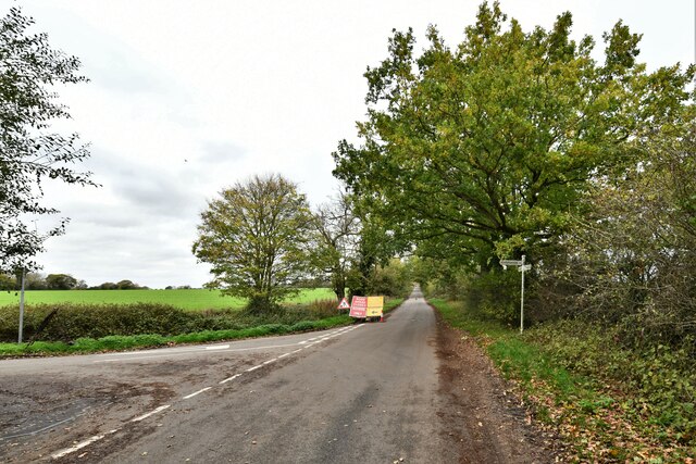
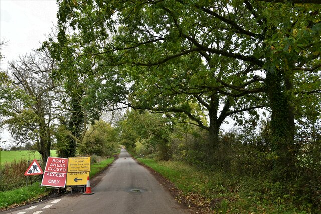
Shelfanger is a small village situated in the county of Norfolk, in Eastern England. It is located about 15 miles south of the city of Norwich, and falls within the district of South Norfolk. The village is nestled amidst picturesque countryside, with rolling green fields and charming rural landscapes.

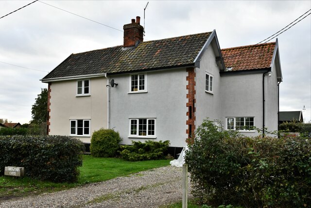
With a population of around 300 residents, Shelfanger has a close-knit community that fosters a sense of belonging and camaraderie. The village is known for its peaceful and tranquil atmosphere, making it an ideal place for those seeking a quiet and idyllic lifestyle away from the hustle and bustle of urban living.

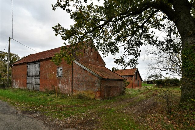
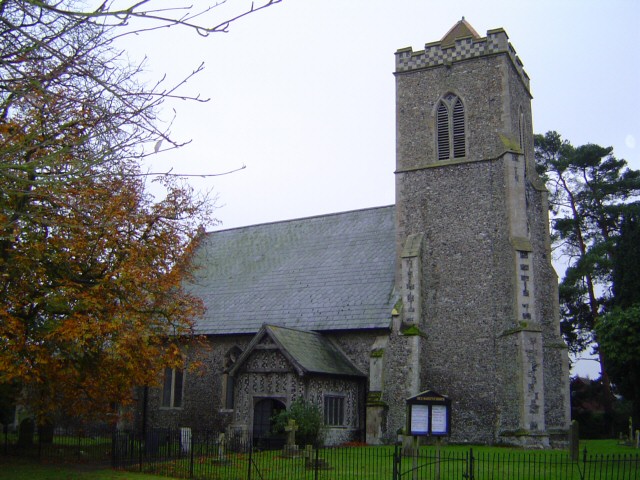
Shelfanger boasts a rich history, with records dating back to the Domesday Book in 1086. The village is home to St. Peter and St. Paul Church, a historic Grade I listed building that serves as a focal point for local religious and cultural activities.

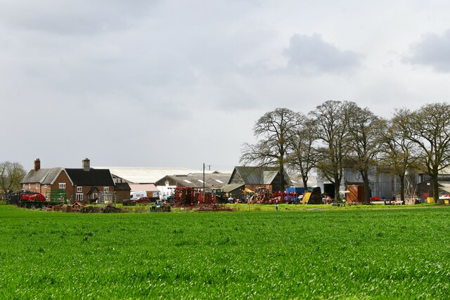
Despite its small size, Shelfanger offers a range of amenities and facilities for its residents. These include a village hall, a primary school, and a pub, which serves as a social hub for villagers and visitors alike. The village also benefits from its proximity to larger towns and cities, providing easy access to essential services and employment opportunities.

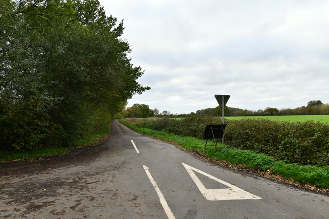
In terms of recreation, Shelfanger is surrounded by beautiful countryside, making it an excellent destination for outdoor activities such as walking, cycling, and exploring nature. The village is also in close proximity to several nature reserves and country parks, offering ample opportunities for wildlife watching and enjoying the great outdoors.

Overall, Shelfanger is a charming and peaceful village that offers a serene lifestyle and a strong sense of community, making it an appealing place to live or visit for those seeking a quintessential English countryside experience.

If you have any feedback on the listing, please let us know in the comments section below.
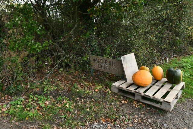
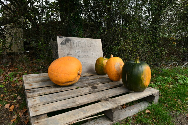
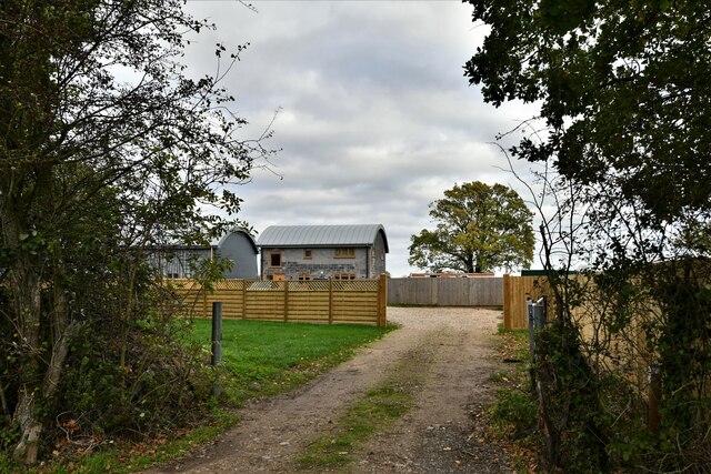
Shelfanger Images

Images are sourced within 2km of 52.412477/1.097168 or Grid Reference TM1083. Thanks to Geograph Open Source API. All images are credited.

Flax field A beautiful field of flax / linseed alongside Darrow Wood Lane. The lane denotes a boundary between Roydon and Bressingham parish councils.
Flax field
A beautiful field of flax / linseed alongside Darrow Wood Lane. The lane denotes a boundary between Roydon and Bressingham parish councils.
Bressingham: Holly Farm
Bressingham: Small hardstanding and large farm building
Darrow Farm sugar beet harvest 2021 View from Darrow Farm across the fields towards Darrow Lane
Darrow Farm sugar beet harvest 2021
View from Darrow Farm across the fields towards Darrow Lane
Heywood: The Heywood
Heywood, The Heywood: Farrow Farm Cottages
Heywood: Dairy Farm
Heywood: Dairy Farm
Heywood: Where Heywood Road leaves The Heywood
Heywood, The Heywood: Road closure
Heywood, The Heywood: Signpost
Heywood: Pumpkins for sale at Windlehill Barn
Heywood: Unusual dwellings at Windlehill Barn
Shelfanger: Public footpath over farmland
Shelfanger: 'Saffron', 'Tepi-Sungei' and 'Shere Khan'
Heywood, The Heywood: At the junction with Back Lane
Show me another place!

Shelfanger is located at Grid Ref: TM1083 (Lat: 52.412477, Lng: 1.097168)

Administrative County: Norfolk

District: South Norfolk

Police Authority: Norfolk

What 3 Words

///baths.hotdog.lunch. Near Diss, Norfolk

Related Wikis

Shelfanger

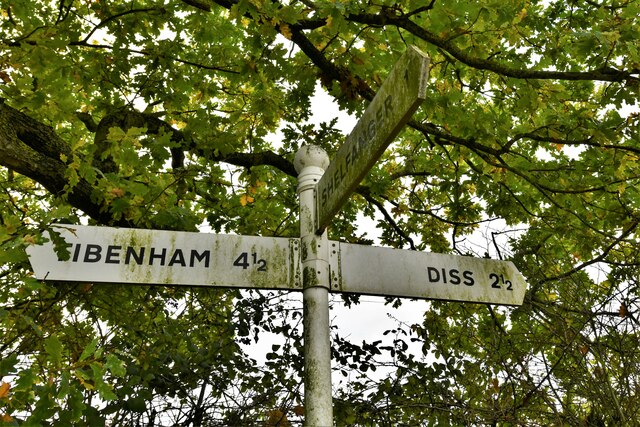
Shelfanger is a village situated about 3 miles from the town of Diss in Norfolk, England. There is a church and a village hall in the village. It covers...

Shelfanger Meadows

Shelfanger Meadows is a 10.3-hectare (25-acre) biological Site of Special Scientific Interest north of Diss in Norfolk.This site in the valley of a tributary...

Heywood, Norfolk

Heywood is a civil parish in the English county of Norfolk. It was formed in 2003 from a part of the parish of Diss. It covers an area of 9.56 km2 (3.69...

Winfarthing

Winfarthing is a village and civil parish in the English county of Norfolk. It is located 6 km north of the town of Diss, 20 km east of the town of Thetford...

RAF Fersfield

Royal Air Force Fersfield or more simply RAF Fersfield (originally known as RAF Winfarthing) is a former Royal Air Force station located 16 miles (26 km...

Burston Strike School

The Burston Strike School was founded as a consequence of a school strike and became the centre of the longest running strike in British history, that...

Boyland Common

Boyland Common is a place in the English county of Norfolk. It lies on the border of Fersfield and Shelfanger parishes. It consists of a few scattered...

Diss Town F.C.

Diss Town Football Club is a football club based in Diss, Norfolk, England. Affiliated to the Norfolk County FA they are currently members of the Eastern...

Nearby Amenities

Located within 500m of 52.412477,1.097168
Bus Stop
Shelfanger Bus Shelter
Bench: yes
Bin: no
Bus: yes
Covered: no
Naptan AtcoCode: 2900S141
Naptan Bearing: SW
Naptan CommonName: bus shelter
Naptan Indicator: adj
Naptan Locality: Shelfanger
Naptan NaptanCode: nfodtdwa
Naptan Street: Church Road
Naptan Verified: yes
Passenger Information Display: no
Public Transport: platform
Shelter: yes
Source: naptan_import;survey
Tactile Paving: yes
Lat/Long: 52.41225/1.0973465
Bus Stop
Shelfanger Winfarthing Rd / Rectory Rd
Bench: yes
Bin: no
Bus: yes
Covered: no
Naptan AtcoCode: 2900S142
Naptan Bearing: N
Naptan BusStopType: CUS
Naptan CommonName: bus shelter
Naptan Indicator: opp
Naptan Locality: Shelfanger
Naptan NaptanCode: nfodtdwd
Naptan Street: The Street
Naptan Verified: yes
Passenger Information Display: no
Public Transport: platform
Shelter: no
Source: naptan_import;survey
Tactile Paving: yes
Lat/Long: 52.4123246/1.0971868
Turning Circle
Lat/Long: 52.4126689/1.0947607
Shelfanger
Place: village
Lat/Long: 52.4117364/1.0975712
Post Box
Collection Times: Mo-Fr 16:00; Sa 10:30
Operator: Royal Mail
Post Box Mounting: pier
Post Box Type: lamp
Ref: IP22 7054
Royal Cypher: EIIR
Royal Cypher Wikidata: Q33102113
Lat/Long: 52.4124712/1.097037
Defibrillator
Booth: KX100
Defibrillator Location: inside former telephone box in Shelfanger
Disused Amenity: telephone
Emergency: defibrillator
Man Made: telephone_box
Lat/Long: 52.4126733/1.0971576
Shelfanger
Inscription: 1982 / WI / In 2009 this sign was generously sponsored by / Bettinsons Bros Demolition / W Butler (Shelfanger Hall) / Mr & Mrs A Gardiner / Frank Paice Councelling & Supervision / Mr & Mrs A Reed / Mark Skilton /
Inscription 2: Thanks also to Mrs A Lord & all Shelfanger Villagers / Donation in Memory of Kate Wells / Marjorie George
Man Made: village_sign
Material: metal;wood
Note: "Councelling" typo was engraved
Old Name: Sceluangra
Start Date: 1982
Lat/Long: 52.4126243/1.0969993
Bench
Backrest: yes
Material: metal
Seats: 3
Lat/Long: 52.4122924/1.0971096
Bench
Backrest: yes
Material: metal
Seats: 3
Lat/Long: 52.4123361/1.0971518
Historic: yes
Man Made: water_pump
Pump: manual
Lat/Long: 52.4122268/1.0973537
Recycling
Recycling Clothes: yes
Recycling Glass Bottles: yes
Recycling Shoes: yes
Recycling Type: container
Lat/Long: 52.4142652/1.0950232
Entrance: main
Lat/Long: 52.4104297/1.0969312
Notices / Shelfanger Parish Council
Board Type: notice
Information: board
Tourism: information
Lat/Long: 52.4125211/1.0970342
Note: Right of Way obstructed by overgrown hedge
Lat/Long: 52.4099636/1.0965901
Fixme: Is there a fence here, and how does the ath cross it?
Lat/Long: 52.4101023/1.0945349
Grit Bin
Lat/Long: 52.4126802/1.0971395
Grit Bin
Lat/Long: 52.4122676/1.0974969
Grit Bin
Lat/Long: 52.4104662/1.0998968
Grit Bin
Lat/Long: 52.4104621/1.0975505
Grit Bin
Lat/Long: 52.4127461/1.0955342
Ford: yes
Lat/Long: 52.4089584/1.0967583
Ford: yes
Lat/Long: 52.4088252/1.0976589
Grit Bin
Lat/Long: 52.4145825/1.0941294
Board Type: notice
Information: board
Tourism: information
Lat/Long: 52.4141834/1.0951788
Grit Bin
Lat/Long: 52.4141768/1.0951419
Power: pole
Lat/Long: 52.4084786/1.0969747
Power: pole
Lat/Long: 52.4083034/1.0961183
The data included in this document is from www.openstreetmap.org. The data is made available under ODbL.

Have you been to Shelfanger?

Leave your review of Shelfanger below (or comments, questions and feedback).