Bullen Wood
Wood, Forest in Suffolk Mid Suffolk
England
Bullen Wood
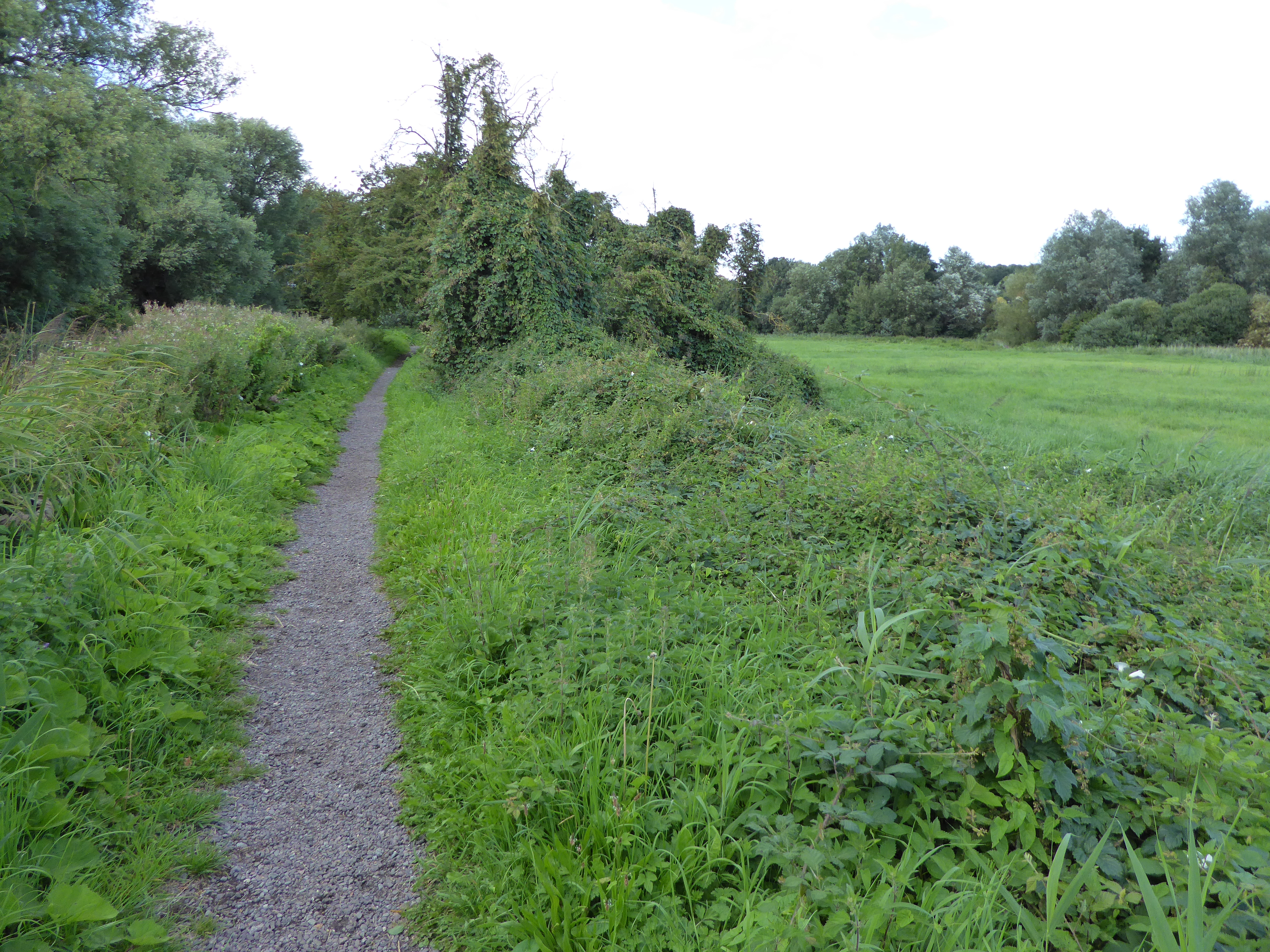
Bullen Wood is a picturesque forest located in Suffolk, England. Spanning over several acres, this enchanting woodland is known for its diverse flora and fauna, making it a popular destination for nature lovers and hikers.
The wood boasts a rich variety of tree species, including oak, beech, and birch, which create a dense canopy overhead. These towering trees provide a tranquil and shaded environment, perfect for escaping the hustle and bustle of everyday life. The forest floor is covered in a thick carpet of moss and ferns, adding to the magical atmosphere.
Wildlife thrives within Bullen Wood, with numerous bird species, such as woodpeckers and owls, making their homes in the treetops. Squirrels scurry through the branches, while rabbits and deer can often be spotted grazing in the undergrowth. The wood is also home to a wide range of insects, from colorful butterflies to industrious ants.
Several well-maintained walking trails wind their way through the forest, allowing visitors to explore the natural beauty at their own pace. These paths meander alongside babbling brooks and lead to peaceful clearings, providing idyllic spots for picnics or simply immersing oneself in the tranquility of the surroundings.
Bullen Wood is a true haven for nature enthusiasts and offers a peaceful retreat for those seeking solace in the beauty of the natural world. Its stunning landscapes and abundant wildlife make it a must-visit destination for anyone looking to connect with nature in Suffolk.
If you have any feedback on the listing, please let us know in the comments section below.
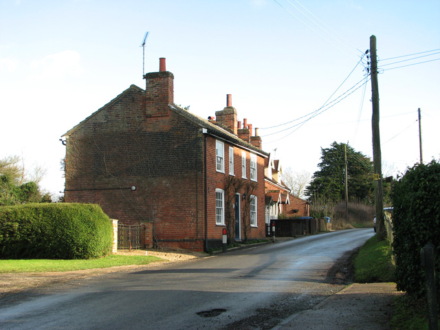
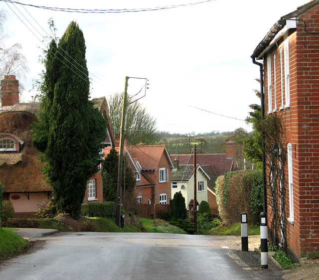
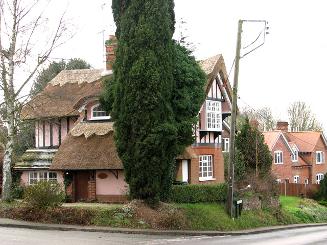
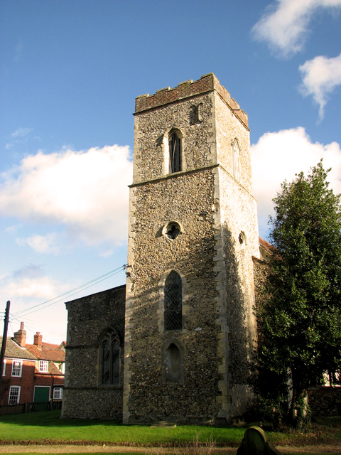
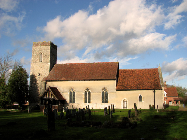
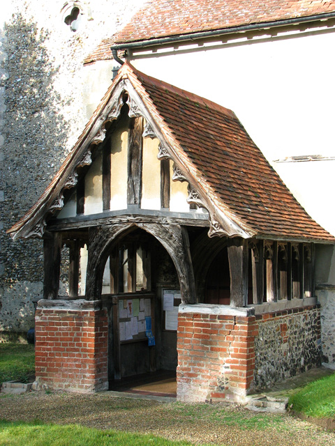
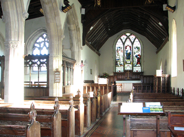
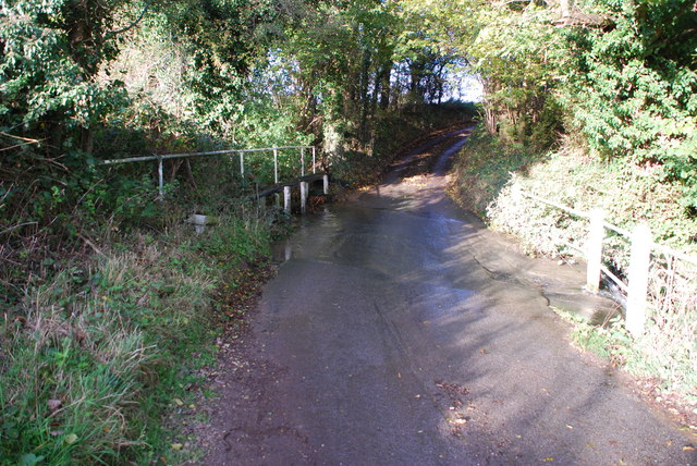
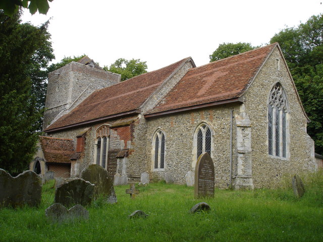
Bullen Wood Images
Images are sourced within 2km of 52.071254/1.0665133 or Grid Reference TM1045. Thanks to Geograph Open Source API. All images are credited.


Bullen Wood is located at Grid Ref: TM1045 (Lat: 52.071254, Lng: 1.0665133)
Administrative County: Suffolk
District: Mid Suffolk
Police Authority: Suffolk
What 3 Words
///intent.blueberry.printout. Near Bramford, Suffolk
Nearby Locations
Related Wikis

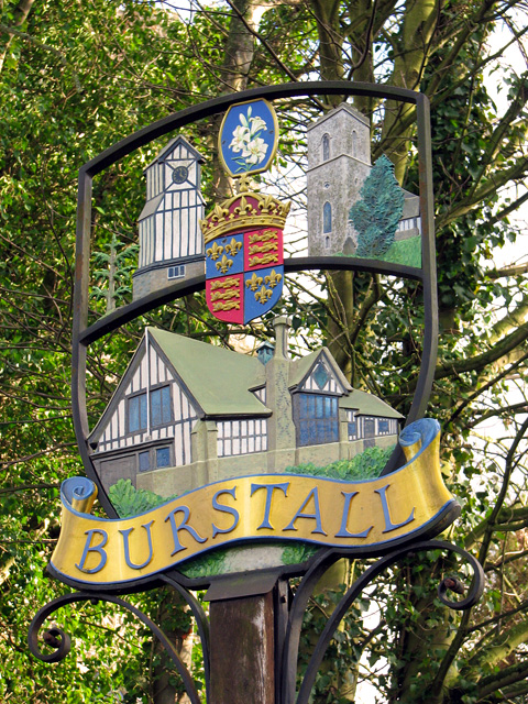
Burstall, Suffolk
Burstall is a village and civil parish in Suffolk, England. Located around 4 miles (6 km) west of Ipswich, it is part of Babergh district. The parish includes...
Flowton
Flowton is a village and civil parish in the Mid Suffolk district of Suffolk in eastern England, with a population of 117 people. The name 'Flowton' originally...
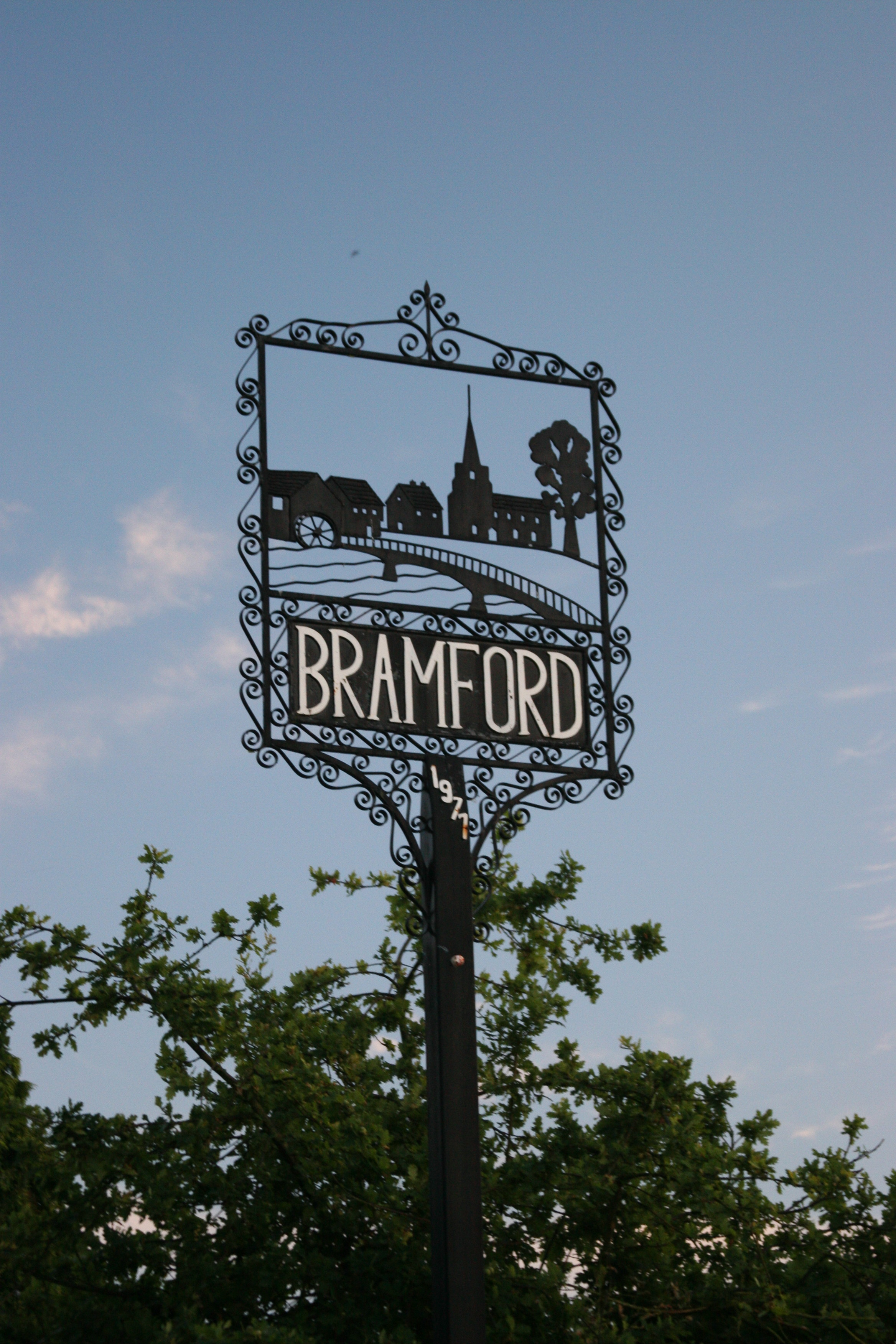
Bramford
Bramford is a village in the Mid Suffolk district of Suffolk, England. It is three miles west of Ipswich of which it forms part of the wider Ipswich Built...

Sproughton
Sproughton (pronounced Spror-ton) is a village in Suffolk, England, just to the west of Ipswich and is in the Babergh administrative district. It has a...
Bramford Meadows
Bramford Meadows is a nine hectare Local Nature Reserve in Bramford, on the western outskirts of Ipswich in Suffolk. It is owned by Bramford Parish Council...
Hintlesham
Hintlesham is a small village in Suffolk, England, situated roughly halfway between Ipswich and Hadleigh. It is in the Belstead Brook electoral division...

Bramford railway station
Bramford railway station refers to the two stations located in Bramford, Suffolk. == History == The first station at Bramford was opened by the Ipswich...
Little Blakenham
Little Blakenham is a village and civil parish in the Mid Suffolk district of Suffolk in eastern England. Located around two miles north-west of Ipswich...
Nearby Amenities
Located within 500m of 52.071254,1.0665133Have you been to Bullen Wood?
Leave your review of Bullen Wood below (or comments, questions and feedback).