Burstall Long Wood
Wood, Forest in Suffolk Babergh
England
Burstall Long Wood
Burstall Long Wood is a charming and picturesque woodland area located in Suffolk, England. Covering an impressive expanse of approximately 100 acres, the wood is situated near the village of Burstall and is easily accessible to visitors.
This ancient woodland is a diverse and thriving ecosystem, home to a variety of flora and fauna. The wood is predominantly made up of mixed broadleaf trees, including oak, ash, birch, and beech, creating a beautiful and vibrant canopy. These trees provide a habitat for a range of wildlife, such as deer, squirrels, woodpeckers, and a multitude of songbirds.
Walking through Burstall Long Wood is a truly enchanting experience. The forest floor is covered in a lush carpet of bluebells, wild garlic, and ferns, creating a serene and peaceful atmosphere. There are well-maintained footpaths that wind their way through the wood, allowing visitors to explore and enjoy the beauty of nature at their own pace.
The wood is also notable for its historical significance. It has been a cherished part of the local landscape for centuries, with records dating back to the Domesday Book of 1086. Burstall Long Wood has been managed sustainably for generations, preserving its natural charm and ensuring it remains a haven for wildlife.
Overall, Burstall Long Wood is a delightful destination for nature lovers and those seeking tranquility. With its ancient trees, vibrant flora, and abundant wildlife, this woodland offers a unique and memorable experience for visitors of all ages.
If you have any feedback on the listing, please let us know in the comments section below.
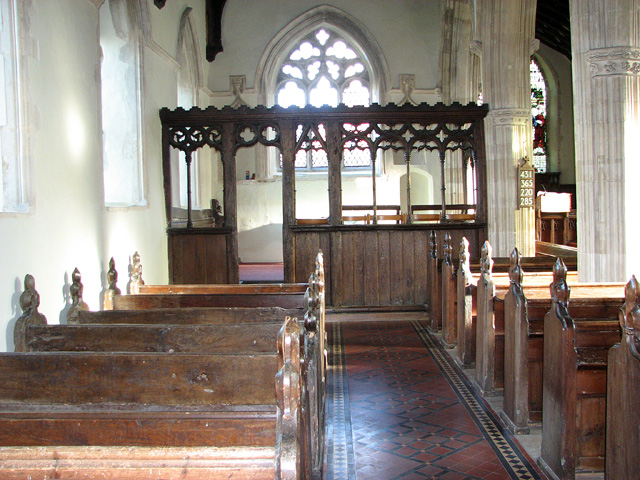
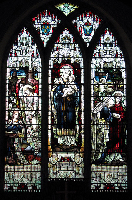
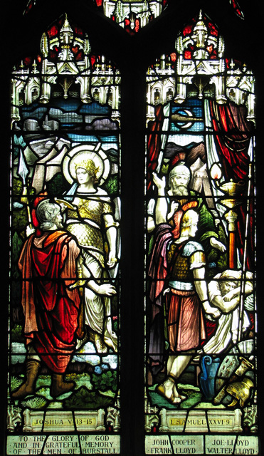
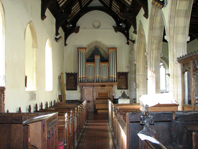
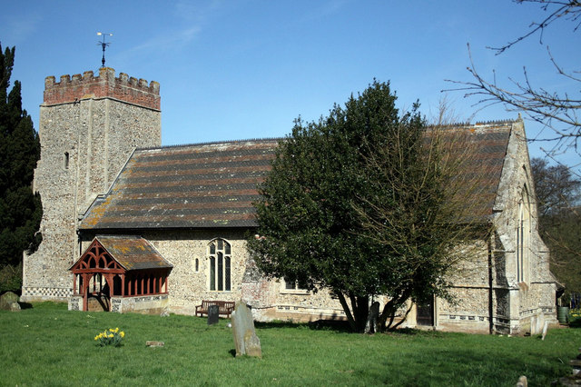
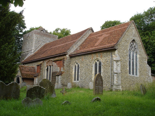
Burstall Long Wood Images
Images are sourced within 2km of 52.064662/1.070979 or Grid Reference TM1045. Thanks to Geograph Open Source API. All images are credited.


Burstall Long Wood is located at Grid Ref: TM1045 (Lat: 52.064662, Lng: 1.070979)
Administrative County: Suffolk
District: Babergh
Police Authority: Suffolk
What 3 Words
///gave.earpiece.reshaping. Near Bramford, Suffolk
Nearby Locations
Related Wikis

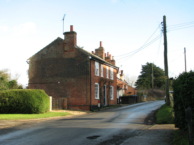
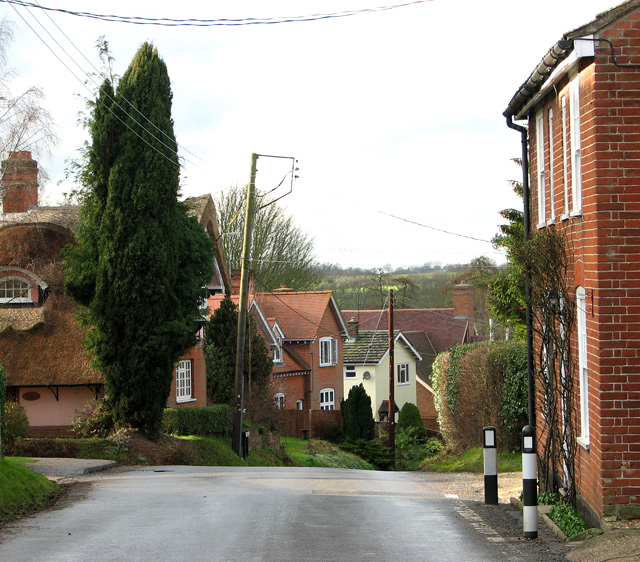
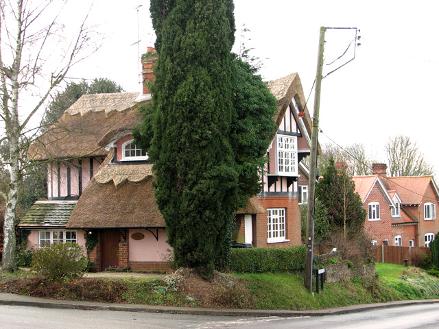
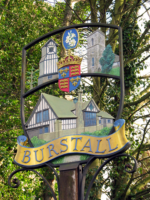
Burstall, Suffolk
Burstall is a village and civil parish in Suffolk, England. Located around 4 miles (6 km) west of Ipswich, it is part of Babergh district. The parish includes...

Sproughton
Sproughton (pronounced Spror-ton) is a village in Suffolk, England, just to the west of Ipswich and is in the Babergh administrative district. It has a...
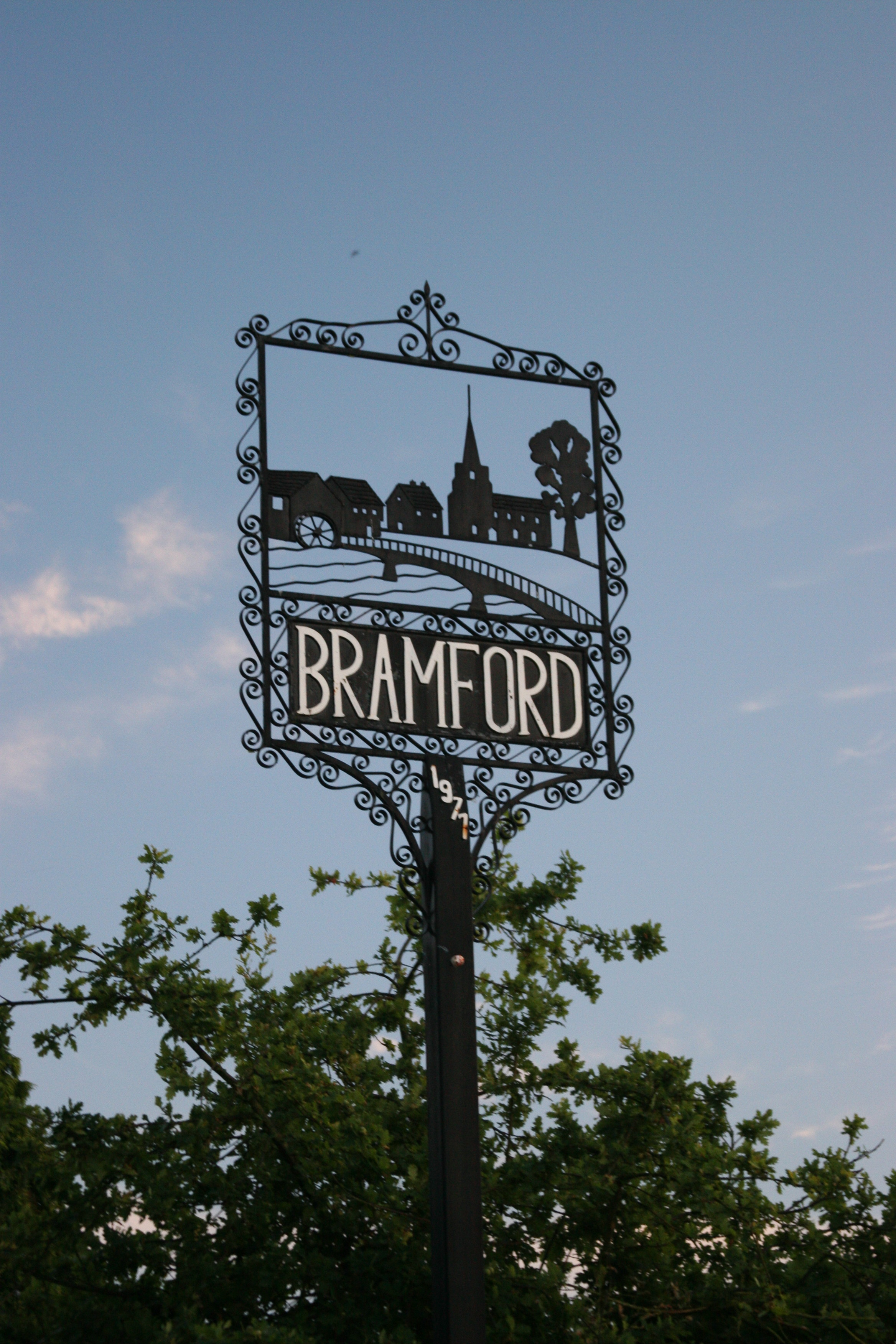
Bramford
Bramford is a village in the Mid Suffolk district of Suffolk, England. It is three miles west of Ipswich of which it forms part of the wider Ipswich Built...
Hintlesham
Hintlesham is a small village in Suffolk, England, situated roughly halfway between Ipswich and Hadleigh. It is in the Belstead Brook electoral division...
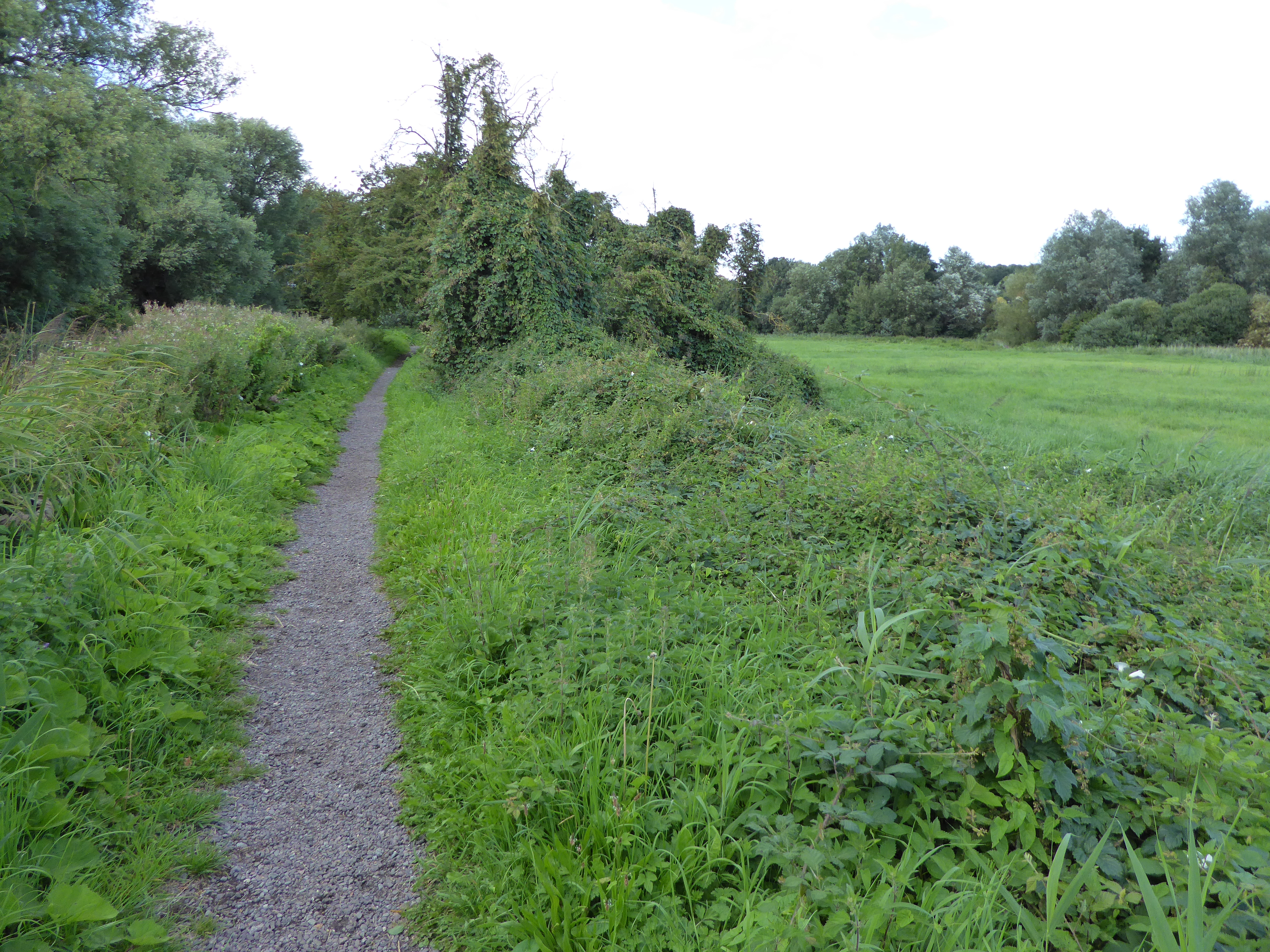
Bramford Meadows
Bramford Meadows is a nine hectare Local Nature Reserve in Bramford, on the western outskirts of Ipswich in Suffolk. It is owned by Bramford Parish Council...
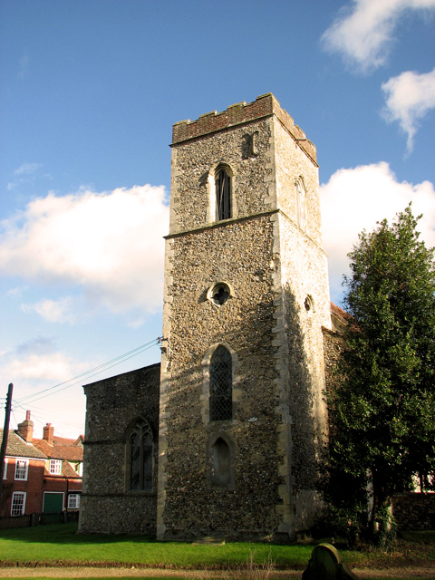
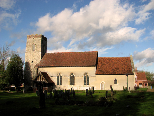
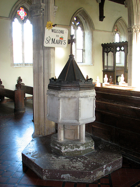
St Mary's Church, Washbrook
St Mary's Church is a redundant Anglican church in the village of Washbrook, Suffolk, England. It is recorded in the National Heritage List for England...

Bramford railway station
Bramford railway station refers to the two stations located in Bramford, Suffolk. == History == The first station at Bramford was opened by the Ipswich...
Flowton
Flowton is a village and civil parish in the Mid Suffolk district of Suffolk in eastern England, with a population of 117 people. The name 'Flowton' originally...
Nearby Amenities
Located within 500m of 52.064662,1.070979Have you been to Burstall Long Wood?
Leave your review of Burstall Long Wood below (or comments, questions and feedback).