Church Wood

Wood, Forest in Kent Canterbury

England

Church Wood

A2 The A2 runs 72 miles from Borough <a href="https://www.geograph.org.uk/photo/5739288">TQ3279 : Great Dover St</a> in London to Dover, through Kent, formerly known as the Dover Road or Great Dover Road. It follows roughly the course of the Roman Watling Street and historically it has always been an important road because it connects London with Canterbury and the port of Dover. In the 18th and 19th century it was turnpiked and given its present designation in the 1920s.
A2 Credit: N Chadwick

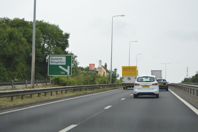
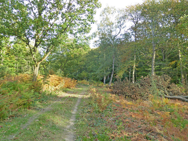
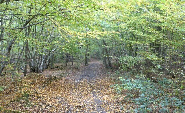
Church Wood is a picturesque forest located in the county of Kent, England. Covering an area of approximately 100 acres, this woodland is renowned for its natural beauty and diverse flora and fauna. Situated near the village of East Peckham, Church Wood is easily accessible for visitors and offers a tranquil escape from the bustling city life.

The wood is predominantly composed of deciduous trees, including oak, ash, beech, and birch, which create a dense canopy that provides shade and shelter for the numerous wildlife species that call this forest their home. The forest floor is carpeted with a rich variety of wildflowers, such as bluebells, primroses, and wood anemones, creating a vibrant and colorful display in the springtime.

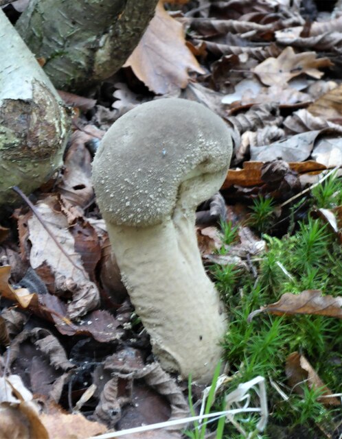
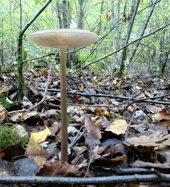
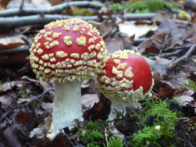
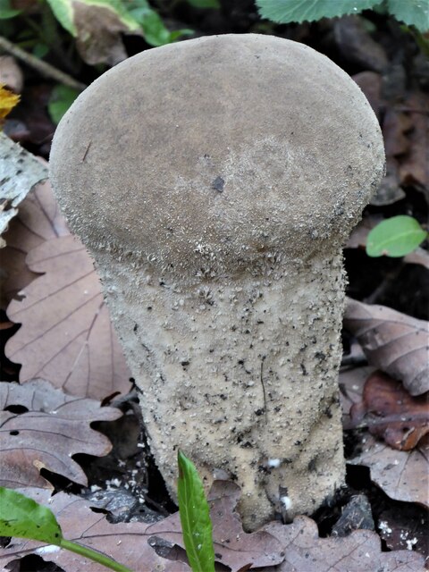
Church Wood is also home to a wide range of bird species, including woodpeckers, owls, and warblers, making it a popular destination for birdwatchers. Other wildlife that can be spotted in the woodland includes foxes, badgers, and deer.

The wood is crisscrossed with a network of well-maintained footpaths and trails, allowing visitors to explore the forest and enjoy its beauty at their own pace. There are also picnic areas and benches scattered throughout the wood, providing the perfect spot for visitors to relax and take in the peaceful surroundings.

In addition to its natural attractions, Church Wood also has historical significance, with the ruins of a medieval church located within its boundaries. This adds an extra layer of intrigue and charm to the woodland, making it a popular destination for history enthusiasts as well.

Overall, Church Wood in Kent is a captivating destination that offers a harmonious blend of natural beauty, wildlife, and historical interest, making it a must-visit for nature lovers and history buffs alike.

If you have any feedback on the listing, please let us know in the comments section below.
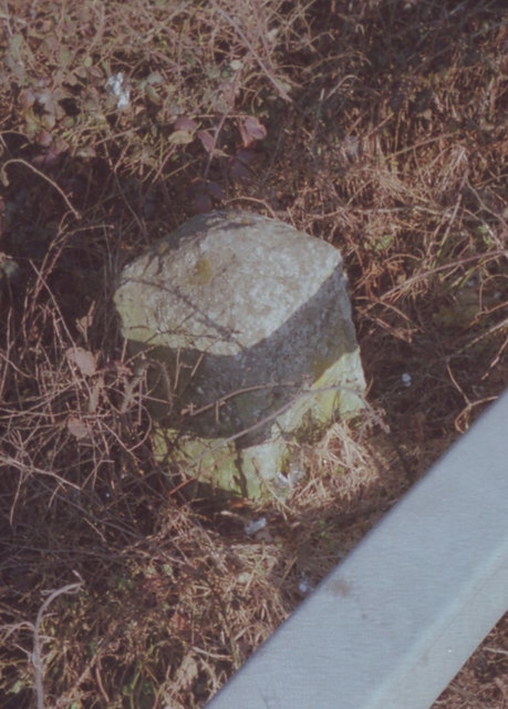
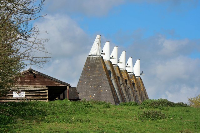
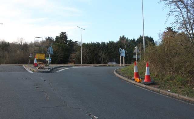
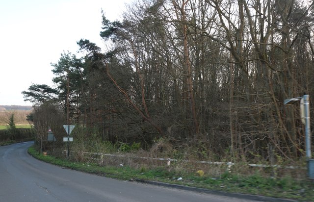
Church Wood Images

Images are sourced within 2km of 51.295369/1.0192909 or Grid Reference TR1059. Thanks to Geograph Open Source API. All images are credited.

A2 The A2 runs 72 miles from Borough <a href="https://www.geograph.org.uk/photo/5739288">TQ3279 : Great Dover St</a> in London to Dover, through Kent, formerly known as the Dover Road or Great Dover Road. It follows roughly the course of the Roman Watling Street and historically it has always been an important road because it connects London with Canterbury and the port of Dover. In the 18th and 19th century it was turnpiked and given its present designation in the 1920s.
A2
The A2 runs 72 miles from Borough TQ3279 : Great Dover St in London to Dover, through Kent, formerly known as the Dover Road or Great Dover Road. It follows roughly the course of the Roman Watling Street and historically it has always been an important road because it connects London with Canterbury and the port of Dover. In the 18th and 19th century it was turnpiked and given its present designation in the 1920s.
Westbound A2
Westbound A2
Path in Blean Woods Acting as a diversion for one of the waymarked paths in the wood, which turns right here. A section was closed because of forestry work.
Path in Blean Woods
Acting as a diversion for one of the waymarked paths in the wood, which turns right here. A section was closed because of forestry work.
Esso petrol station, Gate services, Upper Harbledown, Canterbury Esso services on A2
Esso petrol station, Gate services, Upper Harbledown, Canterbury
Esso services on A2
Old Milestone by the A2, London Road, Dunkirk parish Stone post (plate lost) by the A2, in parish of Dunkirk (Swale District), London Road, opposite Denstead Lane, West of Service area, at West end of crash barrier, on North side of road. Dover Road facet, erected by the Chatham & Canterbury turnpike trust in the 19th century. 

Inscription reads:-
(London 53 / Canterbury 3)

Kent HER.
HER Number: TR 05 NE 162 <span class="nowrap"><a title="https://www.heritagegateway.org.uk/Gateway/Results_Single.aspx?uid=MKE77994&resourceID=1005" rel="nofollow ugc noopener" href="https://www.heritagegateway.org.uk/Gateway/Results_Single.aspx?uid=MKE77994&resourceID=1005">Link</a><img style="margin-left:2px;" alt="External link" title="External link - shift click to open in new window" src="https://s1.geograph.org.uk/img/external.png" width="10" height="10"/></span>

Milestone Society National ID: KE_LD52
Old Milestone by the A2, London Road, Dunkirk parish
Stone post (plate lost) by the A2, in parish of Dunkirk (Swale District), London Road, opposite Denstead Lane, West of Service area, at West end of crash barrier, on North side of road. Dover Road facet, erected by the Chatham & Canterbury turnpike trust in the 19th century. Inscription reads:- (London 53 / Canterbury 3) Kent HER. HER Number: TR 05 NE 162 LinkExternal link Milestone Society National ID: KE_LD52
Denstead Lane at the Boughton Bypass junction
Denstead Lane near Dunkirk
Field by Denstead Lane near Dunkirk
Denstead Lane near Dunkirk
Field by Denstead Lane near Dunkirk
Farm track off Denstead Lane near Dunkirk
Denstead Lane near Dunkirk
Path in Blean Woods, near Dunkirk
Fungus in Blean Woods, near Dunkirk Next to a track running south east.
Fungus in Blean Woods, near Dunkirk
Next to a track running south east.
Fungus in Blean Woods, near Dunkirk
Fungus in Blean Woods, near Dunkirk Fly agaric or Amanita muscaria.
Fungus in Blean Woods, near Dunkirk
Fly agaric or Amanita muscaria.
Fungus in Blean Woods, near Dunkirk I don't know what this is, possibly some sort of puffball in its early stages.
Fungus in Blean Woods, near Dunkirk
I don't know what this is, possibly some sort of puffball in its early stages.
Show me another place!

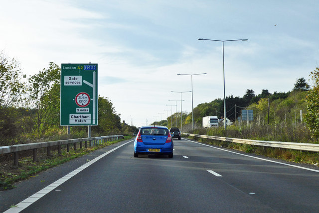
Church Wood is located at Grid Ref: TR1059 (Lat: 51.295369, Lng: 1.0192909)

Administrative County: Kent

District: Canterbury

Police Authority: Kent

What 3 Words

///careless.prude.fiery. Near Blean, Kent

Nearby Locations

Church Wood

Related Wikis

Church Woods, Blean

Church Woods, Blean is a 526.7-hectare (1,302-acre) biological Site of Special Scientific Interest north-west of Canterbury in Kent. It is a Nature Conservation...

Upper Harbledown

Upper Harbledown is a village in Harbledown and Rough Common civil parish about 2 miles (3 km) west of Canterbury, Kent, England. The population is roughly...

Rough Common

Rough Common is a village in Canterbury in the parrish of Harbledown, Kent, England. It forms part of the civil parish of Harbledown and Rough Common...

Battle of Bossenden Wood

The Battle of Bossenden Wood took place on 31 May 1838 near Hernhill in Kent; it has been called the last battle on English soil. The battle was fought...

Blean

Blean is a village and civil parish in the Canterbury district of Kent, England. The civil parish is large and is mostly woodland, much of which is ancient...

Bigbury Camp

Bigbury Camp (formerly Bigberry Camp) is a univallate hill fort in the parish of Harbledown and Rough Common in Kent in England. The fort is a Scheduled...

Canterbury (UK Parliament constituency)

Canterbury is a constituency in Kent represented in the House of Commons of the UK Parliament since 2017 by Rosie Duffield of the Labour Party.The seat...

Honey Hill, Kent

Honey Hill is a hamlet on the A290 road, near the village of Blean, in the Canterbury district, in the English county of Kent.

Nearby Amenities

Located within 500m of 51.295369,1.0192909
Access: no
Barrier: yes
Lat/Long: 51.2944663/1.0147514
The data included in this document is from www.openstreetmap.org. The data is made available under ODbL.

Have you been to Church Wood?

Leave your review of Church Wood below (or comments, questions and feedback).